Balkans Peninsula PowerPoint Maps
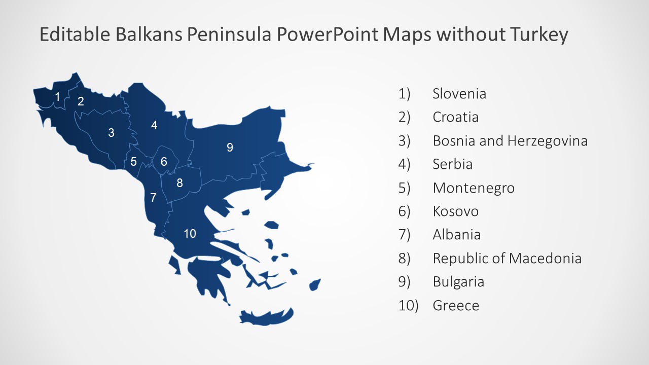
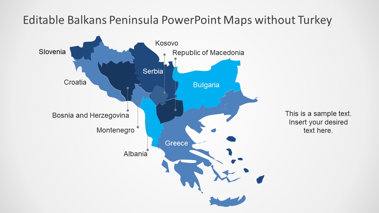
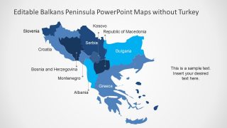
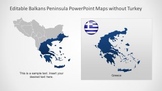
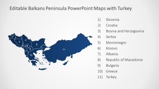
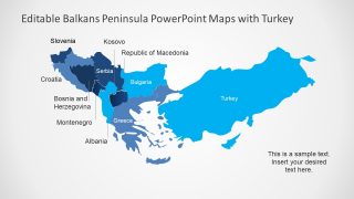
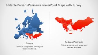
The Balkans Peninsula PowerPoint Maps is a fully editable template. It demonstrates the geographical area for one of the peninsulas in southeastern Europe. The Balkans Peninsula takes its name from Balkan Mountains rang from Bulgaria to Serbia. The map shows group of 10 nations which also include some portion of Turkey. However, the map template contains slides with and without Turkey as a part of Balkans. The peninsula itself represents a piece of land surrounded by water and still connected to mainland. Here, the map shows southeastern peninsula with the Mediterranean, Adriatic, Ionian, and Aegean Seaboards. The PowerPoint map template highlights all the countries in Balkans Peninsula. But presenter can use the text placeholders to mention each sea.
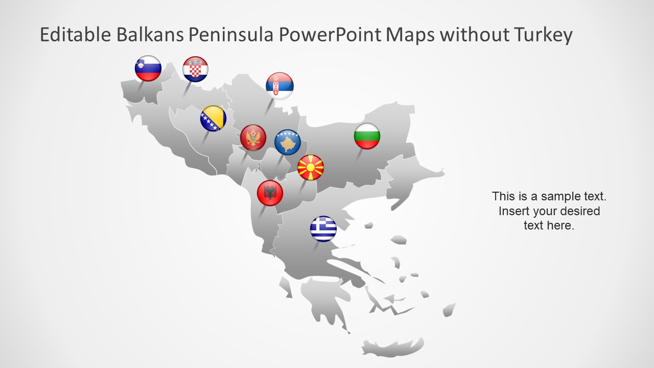
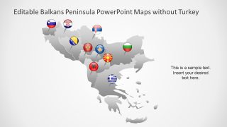
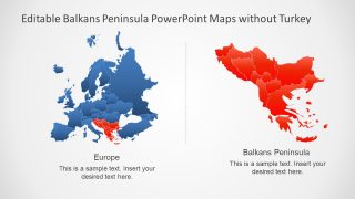
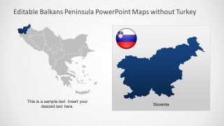
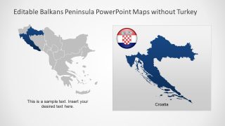
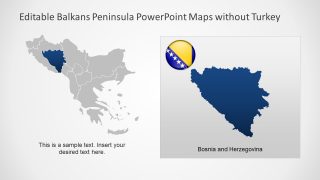
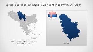
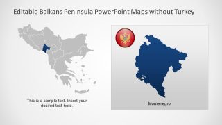
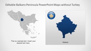
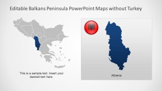
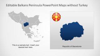
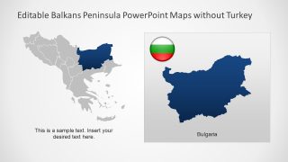
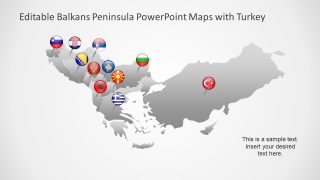
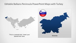
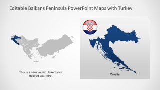
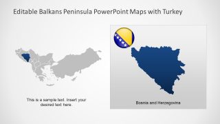
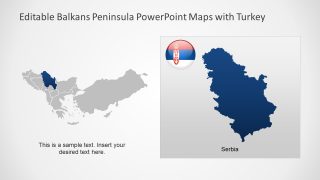
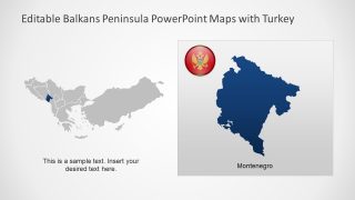
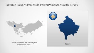
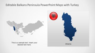
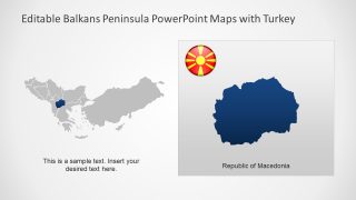
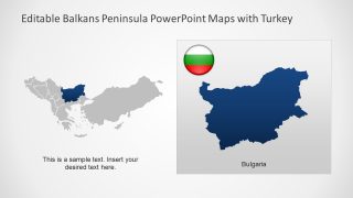
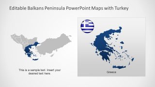
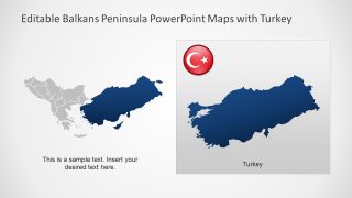
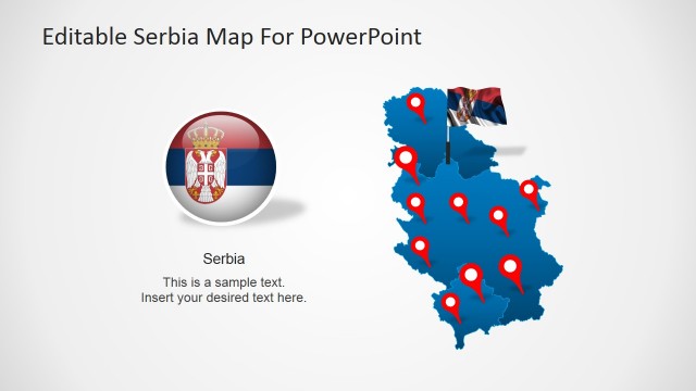
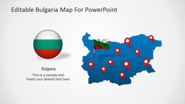
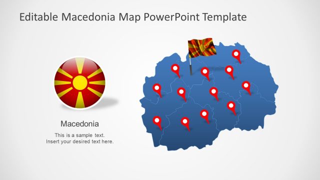
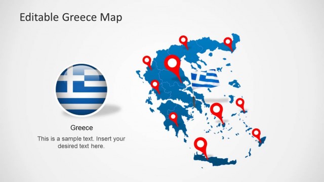
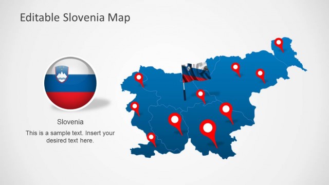
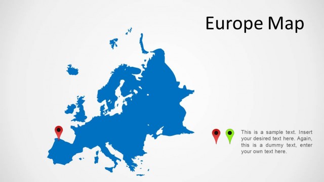
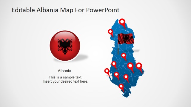
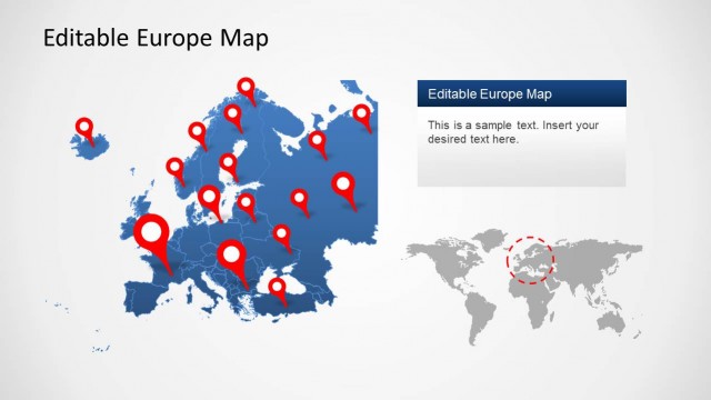
The Balkans Peninsula PowerPoint Maps provides 29 slides of fully editable maps. These include six variations of Balkans Peninsula outline map with and without Turkey’s geographical map. For example, different colors for each country to distinguish them. Or, use of flag buttons as location markers. The map presentation also contains an editable PowerPoint map of Europe, displaying the Balkans Peninsula in its southeastern region. Further slides of map PowerPoint template contain two sections to present both text and map silhouette of each country. Addition to these text placeholders, the slides include badge shape flag of country.
It is an ideal learning presentation for students of geography. This PowerPoint map template can assist them in familiarizing with geographical shape and positioning of every country. Furthermore, SlideModel offers another editable European map for Benelux Political Region in PowerPoint.
