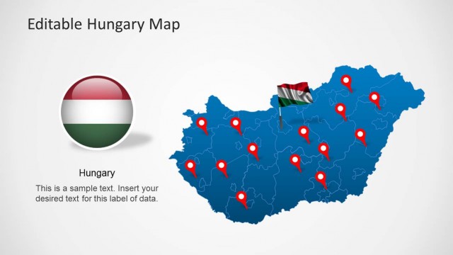
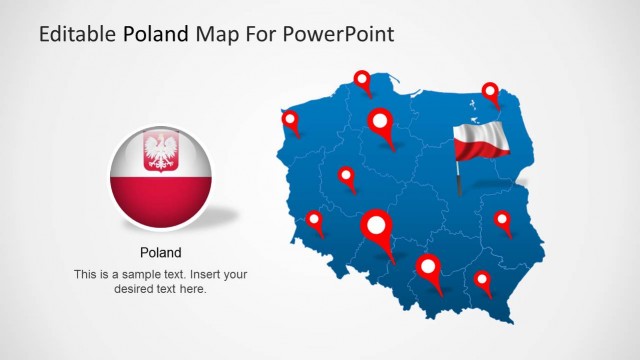
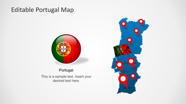
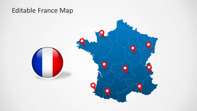
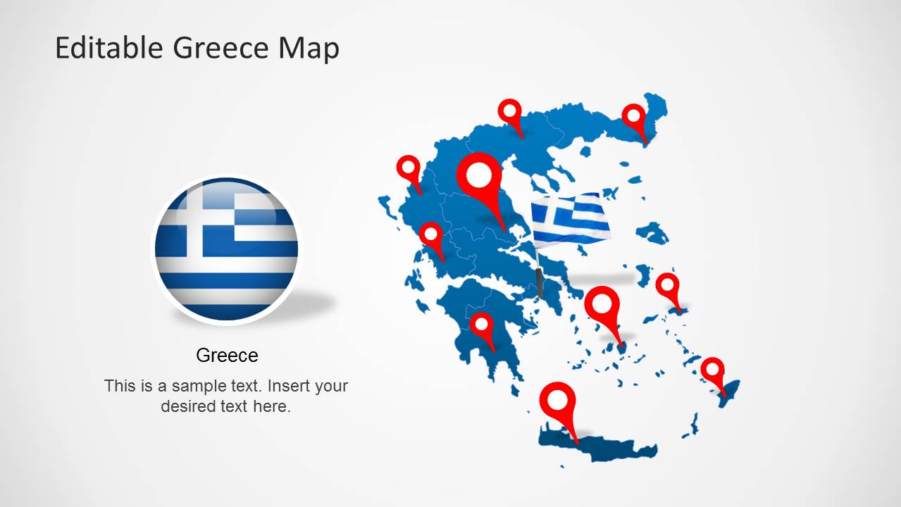
Download Editable Greece Map Template for PowerPoint. This template is among our collection of Europe Map Templates which offer editable maps for European countries with the option to drag out individual regions of the specific country from the main map.
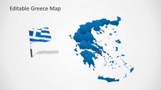
You can create presentations with a diverse range of slide designs, accurately depicting the map of Greece. The template also features the flag of Greece and other useful clipart images such as GPS markers for highlighting specific parts on the map.
For more editable map templates related to different countries and regions, see our collection of PowerPoint Map Templates.
What’s inside this template
Example presentation scenarios
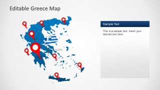
- A market analyst can use the pinned Greece map and right-side callout panel to explain target locations for an expansion or distribution briefing.
- A tourism presenter can use the flag graphics, location pins, and Greece map overview to introduce destinations, travel routes, or visitor regions.
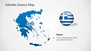
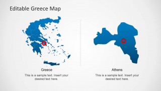
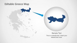
- An educator can use the regional map, Athens detail, and zoom slide to teach country geography and show how a capital city relates to the national map.
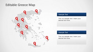
- A public sector presenter can use the gray map with two stacked text boxes to compare service areas, regional priorities, or site-specific updates.
Features
- 100% editable presentation template
- Compatible with Microsoft PowerPoint and Google Slides
- Scalable vector shapes, icons and illustrations
- AI-Ready for Microsoft Copilot and Claude
- Instant access and download
Frequently asked questions
Q: How should a presenter structure a Greece location briefing with this template?
A: Start with the full Greece map to orient the audience, then use the pinned map to identify priority locations. Move to the Athens callout or regional zoom when a specific area needs explanation. Keep each text panel limited to one message, such as market potential, site status, or travel relevance.
Q: Who is this Greece map template best suited for?
A: It is best for presenters who need to explain where something is happening in Greece before discussing details. Consultants, tourism teams, educators, regional managers, and public sector speakers can use the flag slide, pins, Athens detail, and regional zoom to connect locations with decisions, lessons, or plans.
Q: Why do the pins, flag, and zoom layouts help communicate geography?
A: The map gives spatial context, the red pins create immediate focal points, and the Greece flag reinforces country identity without adding extra text. The zoom metaphor on the final slide helps the audience shift from national context to a selected region, which is useful when the message narrows from overview to local detail.


Editable Greece Map Template for PowerPoint
8-slide Greece map presentation template with editable regions, flag graphics, location pins, and Athens callouts
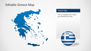
Editable Greece Map Template for PowerPoint is an 8-slide map template for location, regional, and country profile presentations. Visible layouts include a pinned Greece map, flag badge slide, text callout panel, Athens detail map, two-column region comparison, and highlighted regional zoom. It is suited to business, tourism, education, and public sector presenters.


 Loading...
 Microsoft PowerPoint
  Microsoft Copilot
  Claude for PowerPoint
 Other formats supported
Subscribe today and get immediate
access to download our PowerPoint templates.