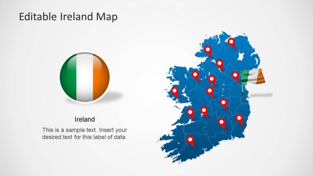
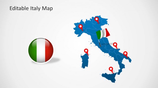
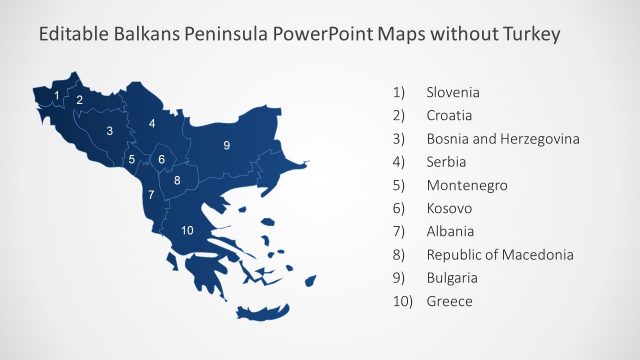
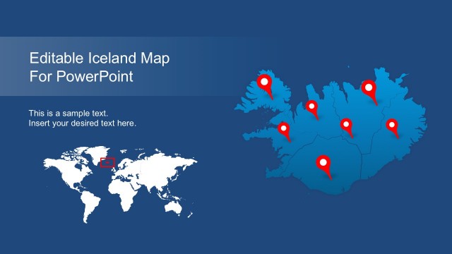
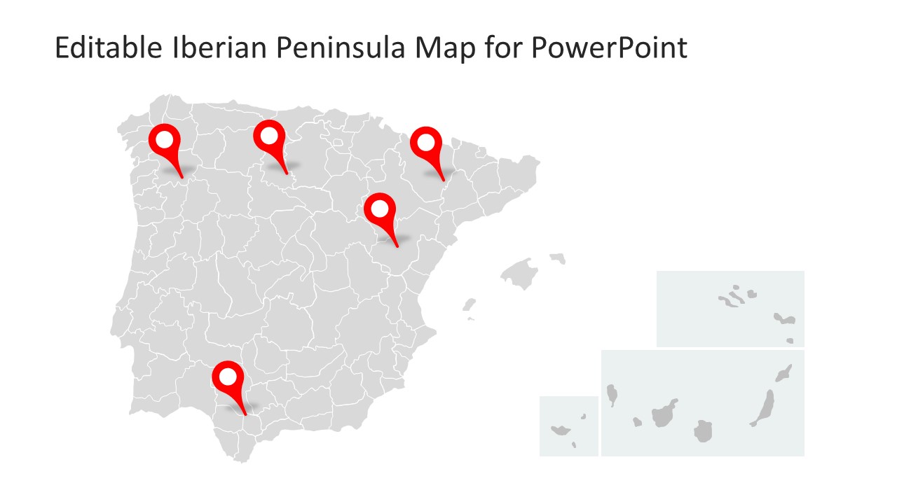
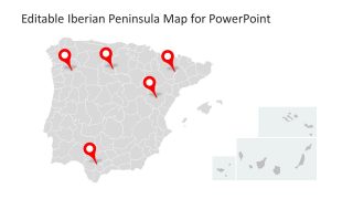
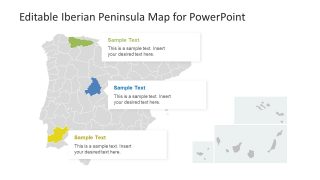
Editable Iberian Peninsula Map for PowerPoint
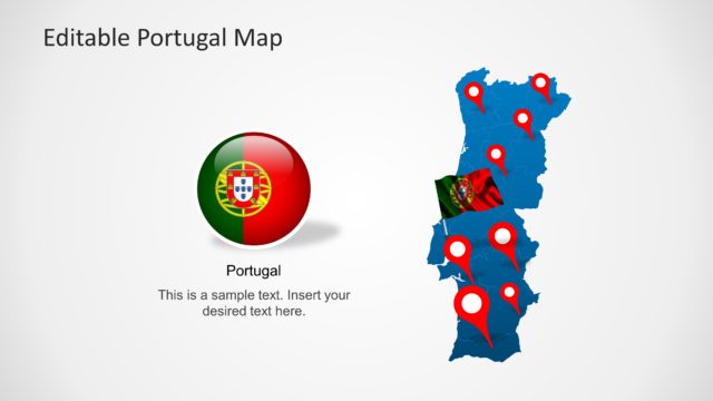
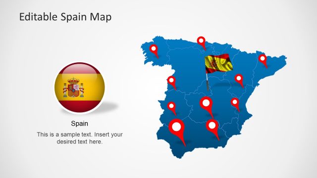
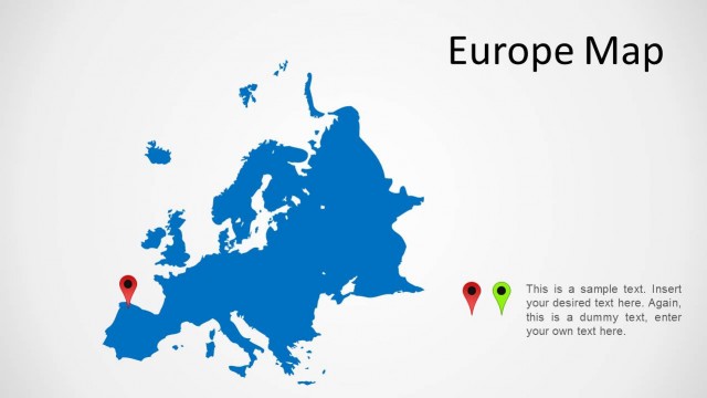
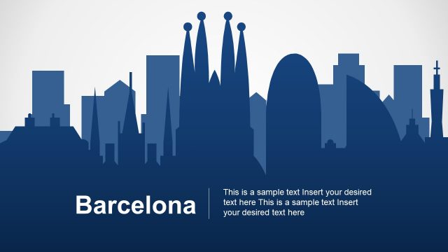
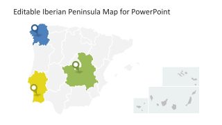
The incredible slides of Editable Iberian Peninsula Map for PowerPoint present geographical view of Europe. The Iberian Peninsula is basically southwest part of Europe which comprise Spain, Portugal and small part of France i.e. Andorra. It lays between Mediterranean Sea and Atlantic Ocean. Also, the Canary Islands of Spain, Madeira and Azores of Portugal are the part of Iberian Peninsula. Although, the land surrounding by water is known as Peninsula. This PowerPoint map shows the silhouette style template. All of the three slides have a different version for presenting the southwest Europe. Further, this PowerPoint is an editable presentation of countries and cities border maps join to make a brilliant view. This presentation is useful for describing the diverse history of Spain and Portugal. For example, discuss the ethnicity, religion, ancestry DNA, rulers etc.
The Editable Iberian Peninsula Map for PowerPoint contains flat vector shapes and icons. The customizable feature of PowerPoint enables users to make variety of design changes. For example, shape effects, background options, colors, sizes etc. Additionally, users can insert objects like company logo, contact information as company presentation. This amazing 3-slide PowerPoint has smaller units representing cities and location marker icons to point any area. Similarly, the second slide has area map shapes with different colors for highlighting and describing through placeholders. Moreover, the third template shows colored map with placeholders and location markers to explain different customization ideas.
The editable map template of Iberian Peninsula is ideal for presenting the demographics, tourism or business opportunities in southwest Europe. The outline maps of country with placeholders and pins help mark the places and label with useful information. The users can select and copy a map or slide to demonstrate as a part of another presentation. Furthermore, the outline maps of individual areas are high-quality vector PowerPoint shapes. Therefore, users can select and resize/enlarge these figures to describe any area separately without affecting image quality.


You must be logged in to download this file.
DOWNLOAD- Category
- Maps
- Rating

 Loading...
- Size
- 16x9
- Item ID
- 7664-01
- Colors
Subscribe today and get immediate
access to download our PowerPoint templates.