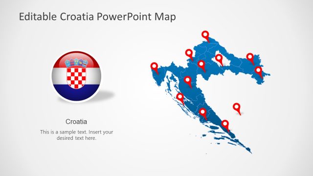
Editable Albania PowerPoint Map – Impress your audience with an informative presentation for Albania with the Editable Albania PowerPoint Map. This PowerPoint presentation is perfect for tourism lectures and investment seminars for the country. This design is intricately created to maximize its users’ creativity as well to accommodate all presentation concepts possible. Despite its varied uses, the design maintains its professional and simple appearance that is appealing to both executive and non-executive audiences. This PowerPoint template is composed of individual objects that can be presented on its own or with other objects in the template. For example, every region in the map is also a PowerPoint object that can be edited individually, isolated, magnified, enlarged and presented on its own or together with another isolated region. In addition, each object on this template can be used with other templates in our PowerPoint Templates gallery.
The design of this template is great for presentations highlighting tourist destinations in Albania by visually highlighting those particular regions and adding text for relevant tourism information and recommendations. One of the most exciting things tourists look out for in visiting new countries is the culture. This template is great for drawing attention to cultural features of the country by magnifying each highlighted regions and presenting it in details. It can also point out important travel advisory and recommended routes by enlarging the concerned locations in the maps. Another important information that can be included in the presentation is the weather and climate in Albania. These are useful data for trips and holiday seminars for the country. The presentation is also great for highlighting exotic cuisines in every region.
Business presentations for investment prospects for Albania are also perfect for this template. Its professional design is appealing to business executives. And its innovative features and characteristics allow for all business concepts to be impressively presented.
What’s inside this template
Example presentation scenarios
- A tourism lecturer can introduce Albania to travelers by using the pinned country map and flag layout to connect destinations with cultural and national context.
- An investment analyst can brief executives on regional opportunities by using the Europe locator map and split regional zoom layout to show where a project area sits within Albania.
- A government or NGO presenter can report field activity locations by placing red pins on the gray Albania map and explaining each site with the two callout boxes.
- An educator can teach Albania geography by moving from the national map to the capital marker slide and then to the enlarged region callout for closer discussion.
Features
- 100% editable presentation template
- Compatible with Microsoft PowerPoint and Google Slides
- 16:9 aspect ratio slides
- Scalable vector shapes, icons and illustrations
- AI-Ready for Microsoft Copilot and Claude
- Instant access and download
Frequently asked questions
Q: How should a presenter communicate several Albania locations without crowding the map?
A: Start with the full-country map to orient the audience, then limit each slide to one message: destination set, capital context, or regional detail. Use the red pins for primary locations and move supporting explanation into the right-side callout boxes or the zoom slide. This keeps the map readable while still showing geographic relationships.
Q: Who is this Albania map template best suited for?
A: It fits presenters who need to explain where activities, opportunities, or destinations are located inside Albania. Tourism teams, educators, public agencies, NGOs, and investment groups can use the pinned map, Europe locator, Tirane marker, and enlarged region layouts to connect geographic evidence with decisions or learning goals.
Q: Why combine a locator map, pins, flag, and regional zooms in one deck?
A: The sequence supports spatial understanding at different distances. The Europe locator explains outside context, the Albania map with pins shows distribution, the Tirane slide marks the capital, and the zoom callout acts as a visual metaphor for closer analysis. This reduces the need for long verbal explanations of place.
You may also like:


Editable Albania PowerPoint Map
8-slide Albania map presentation template with regional pins, Europe locator, and capital callouts
Editable Albania PowerPoint Map is an 8-slide map template for Albania-focused briefings in Microsoft PowerPoint and Google Slides. It includes a pinned Albania regional map, Europe locator map, flag and capital layout, text callout map, and regional zoom callout. Tourism, education, government, and investment presenters can adapt the vector map shapes.
- Category
- Maps
- Rating


 Loading...
- Aspect ratio
- 16:9, 4:3
- Item ID
- 6626-01
- Colors
 Microsoft PowerPoint
 Microsoft Copilot
 Claude for PowerPoint
Other formats supported
Subscribe today and get immediate
access to download our PowerPoint templates.