Slide 18 of 29 from Balkans Peninsula PowerPoint Maps
13022-02-balkans-peninsula-powerpoint-maps-16×9-18
Balkans Peninsula PowerPoint Map with Turkey
- Map
- Country Map
- Context Slide
- 16:9
- 100% Editable
What’s on This Slide
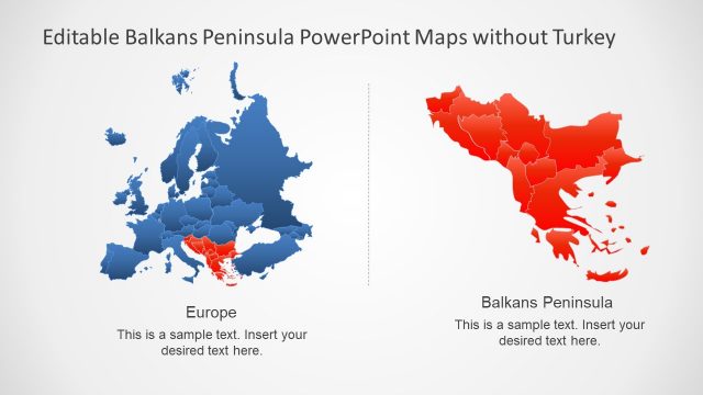
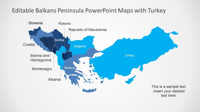
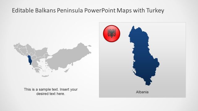
The slide features two maps side by side. The left map displays Europe, shaded in blue with regions highlighted in red. The right map shows the Balkans Peninsula, primarily in red. Each map has a title placeholder at the top, aligned centrally, indicating the respective regions. Below each map, there are text placeholders for additional information, centered and aligned with the maps. The background is a light gradient, enhancing the visibility of the maps. The overall layout is symmetrical, emphasizing the comparison between the two regions.
How to Use It
This layout serves as a comparative map display, ideal for illustrating geographical relationships or political contexts. It fits well in presentations discussing regional dynamics, historical contexts, or political analyses. This slide can be used in educational settings, business presentations, or reports focusing on European geography, particularly the Balkans. It effectively highlights the geographical boundaries and relationships between the regions presented.
Text Placeholders & Capacity
Keep your copy within these limits so it fits without resizing. Text slots are moderate, allowing for concise entries.
| Placeholder | Count | Max characters (approx.) |
|---|---|---|
| Slide title | 1 | 40 |
| Item heading | 2 | 30 |
| Item body | 2 | 60 |
Slide Keywords
Download unlimited PowerPoint templates, charts and graphics for your presentations with our annual plan.
DOWNLOADReturn to Balkans Peninsula PowerPoint Maps.