Slide 29 of 29 from Balkans Peninsula PowerPoint Maps
13022-02-balkans-peninsula-powerpoint-maps-16×9-29
Balkans Peninsula Map with Turkey
- Map
- Country Map
- Context Slide
- 16:9
- 100% Editable
What’s on This Slide
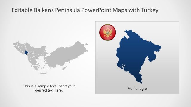
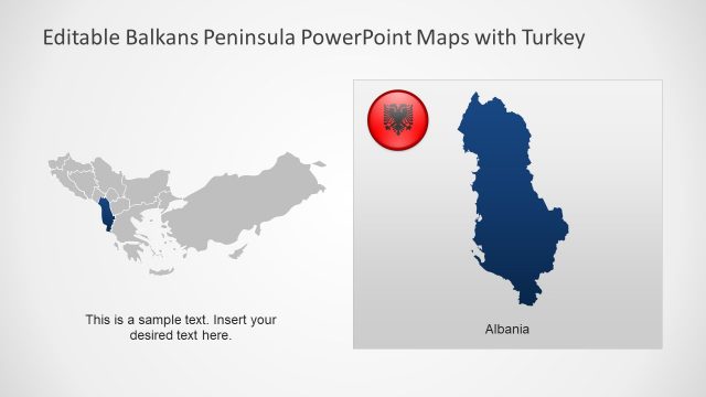
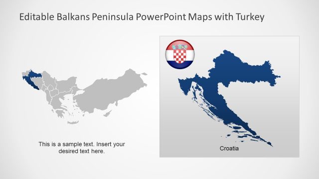
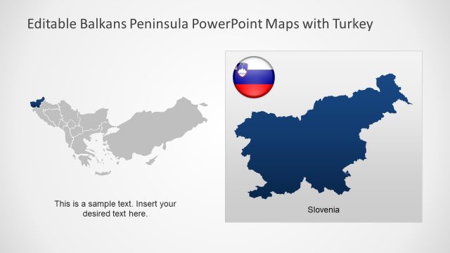
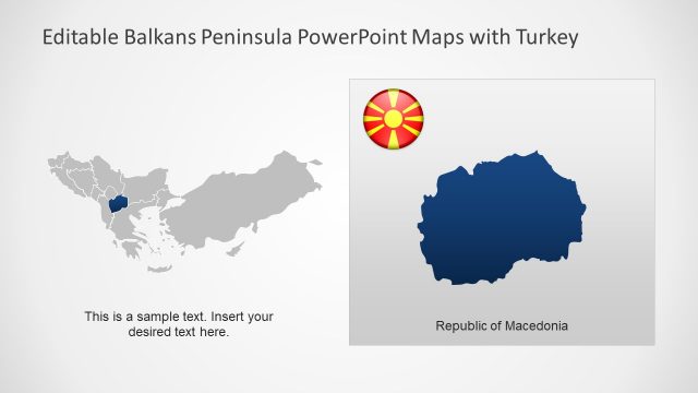
The layout features two maps of Turkey, one in blue on the right and a gray outline on the left. The blue map is filled with a solid color, while the outline map is less prominent. A circular icon with the Turkish flag appears above the blue map. Below the maps, there is a text placeholder aligned to the left, indicating where to insert custom text. The overall composition is centered, with a light background that enhances visibility. The visual hierarchy emphasizes the blue Turkey map as the focal point.
How to Use It
This layout serves as a geographic representation of Turkey within the Balkans Peninsula context. It is suitable for presentations discussing regional geography, political boundaries, or tourism. This slide fits well at the end of a presentation to summarize key points about Turkey's location. It can be used in business contexts, such as market analysis or travel planning, where visualizing Turkey's position is essential.
Text Placeholders & Capacity
Keep your copy within these limits so it fits without resizing. Body text slot can hold about 8 words comfortably.
| Placeholder | Count | Max characters (approx.) |
|---|---|---|
| Body paragraph | 1 | 50 |
| Item heading | 1 | 10 |
Slide Keywords
Download unlimited PowerPoint templates, charts and graphics for your presentations with our annual plan.
DOWNLOADReturn to Balkans Peninsula PowerPoint Maps.