Editable South America Map Templates for PowerPoint
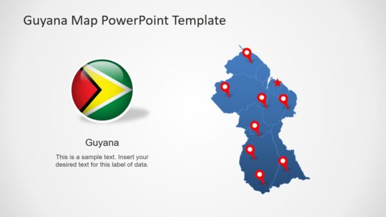
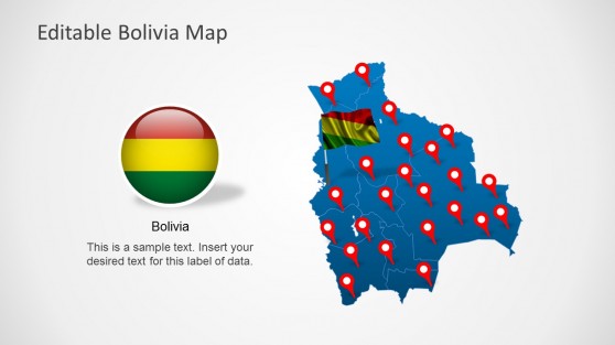
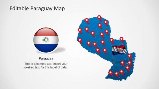
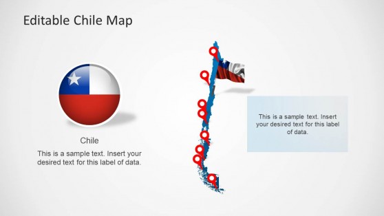
Download South America maps for PowerPoint presentations, including territories and countries of South America. This section can find presentation templates and editable maps relevant to South America. You can also download country or continental maps like the Latin America map template to prepare presentations in PowerPoint showing regions, countries, or territories.
Featured Templates
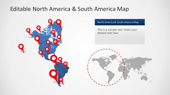
Editable North America & South America Map PowerPoint Template
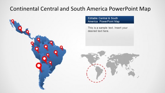
Continental Latin America PowerPoint Map
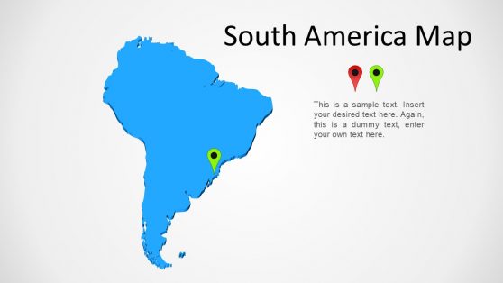
South America Map Template for PowerPoint
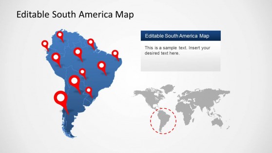
South America Map Template for PowerPoint
Latest Templates
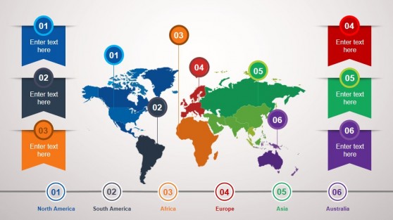
Animated Continental PowerPoint Template
South America is a continent rich in natural resources, diverse cultures, and growing economic influence. Whether you’re in business, education, or research, presenting data related to this region often requires a visual representation that is both clear and professional. This is where a South America map template for PowerPoint becomes an invaluable tool. These templates offer a variety of features that enhance the clarity and impact of your presentations.
Why Use South America Map PowerPoint Templates?
Maps provide an excellent way to represent geographic data visually. With a South America map template, you can clearly showcase a wide range of information, from economic statistics to demographic data, regional trends, and more.
Visual Representation of Geographic Data
One of the most significant benefits of using a South America PowerPoint template is the ability to visually represent geographic data. In presentations where location-based information is essential, such as market penetration, trade routes, or environmental studies, maps offer a clear and intuitive way to convey the message. By using a Latin America slide template, you can highlight specific regions, countries, or even cities, allowing your audience to grasp the data without needing extensive explanations.
For instance, if you’re presenting sales data from Brazil, Argentina, or Chile, a map can instantly communicate where your company is performing best. Likewise, maps are useful for comparing different regions in terms of economic growth, population density, or other factors, giving your presentation added depth.
Customization and Flexibility
A key advantage of using a South America template for PowerPoint is its adaptability. These templates are designed to be easily customizable, allowing you to adjust colors, labels, and shapes based on your presentation’s specific needs. Latin America editable map PowerPoint templates are particularly useful for users who need to focus on different areas of the continent or adjust the map to match their corporate branding.
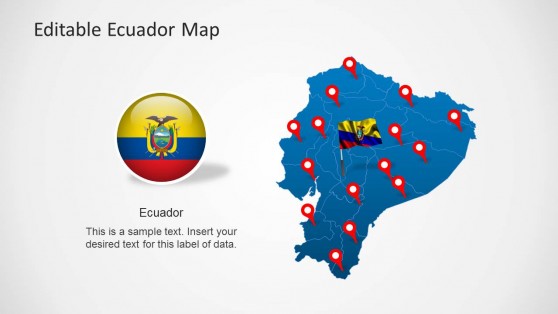
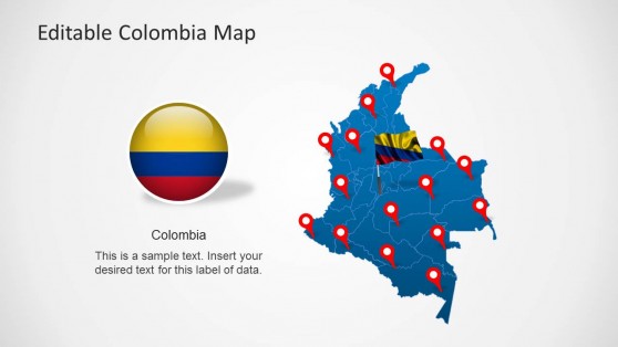
You can, for example, highlight one specific country, like Colombia or Ecuador, while fading out the rest of the continent. This level of control ensures that your audience remains focused on the areas that matter most to your data. In addition, these maps can be resized and scaled without losing quality, ensuring that they look sharp regardless of whether you’re presenting on a large screen or a smaller device.
Time Efficiency
Designing a detailed, professional map from scratch can be a time-consuming process. South America PowerPoint templates save you hours of work by providing ready-made maps that you can quickly adapt to fit your needs. With just a few clicks, you can input your data, customize the appearance of the map, and have a polished, professional slide ready for your presentation.
By using a Latin America editable map PowerPoint, you also reduce the margin for error. Pre-designed templates ensure consistency and accuracy, so you don’t have to worry about incorrect borders or mislabeled countries. This is particularly important in professional settings where precision is crucial.
How do I get a South America Map in PowerPoint?
To get a South America map in PowerPoint, you can either:
- Download a South America map template from online resources (many websites offer free or premium templates).
- Use PowerPoint’s built-in map feature (if available) by going to Insert > Map, and selecting South America. You can then customize the map by highlighting specific regions, changing colors, or adding labels.
Is there a world map in PowerPoint?
Yes, PowerPoint has a built-in world map feature. To insert a world map go to Insert > Map (available in some versions), and PowerPoint will generate a world map that you can customize. Alternatively, you can download a world map template from external sources and insert it as a slide into your presentation.
How do you insert a country in PowerPoint?
To insert a country in PowerPoint, you have a few options:
- Use an editable map template where individual countries can be highlighted or extracted, then select and customize the country you need.
- If no built-in map is available, you can insert a country image by downloading a high-quality outline of the country and then adding it through Insert > Pictures.
- You can also use the Shapes tool to draw the country manually, though this is less precise.
