Slide 4 of 29 from Balkans Peninsula PowerPoint Maps
13022-02-balkans-peninsula-powerpoint-maps-16×9-4
Balkans Peninsula Map for Presentations
- Map
- Country Map
- Context Slide
- 16:9
- 100% Editable
What’s on This Slide
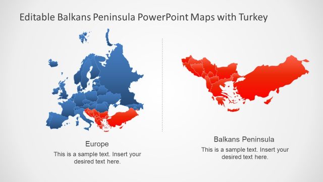
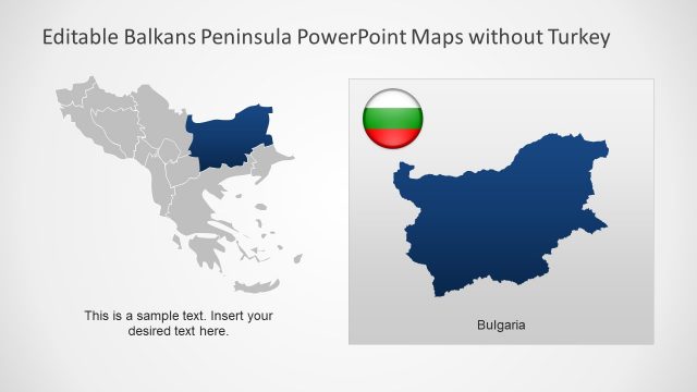
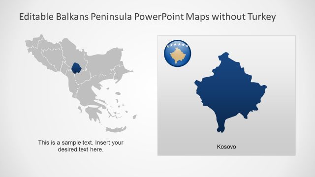
The layout features two maps side by side. The left map displays Europe, colored in varying shades of blue, while the right map highlights the Balkans Peninsula in red. Each map includes a text placeholder at the bottom center for titles, labeled 'Europe' and 'Balkans Peninsula' respectively. The background is a light gradient, enhancing the visibility of the maps. The visual hierarchy emphasizes the maps, with the titles positioned above them. There are no additional icons or images present, focusing solely on the geographical representations.
How to Use It
This layout serves as a comparative map display, suitable for presentations that require geographical context. It can be used to illustrate political, economic, or cultural aspects of the Balkans and Europe. This slide fits well in a sequence discussing regional dynamics or historical contexts. It is ideal for business meetings, educational settings, or reports analyzing geographical data, allowing for clear visual differentiation between the two areas.
Text Placeholders & Capacity
Keep your copy within these limits so it fits without resizing. Title slots can hold about 5-6 words each.
| Placeholder | Count | Max characters (approx.) |
|---|---|---|
| Slide title | 2 | 30 |
| Body paragraph | 2 | 50 |
Slide Keywords
Download unlimited PowerPoint templates, charts and graphics for your presentations with our annual plan.
DOWNLOADReturn to Balkans Peninsula PowerPoint Maps.