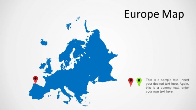
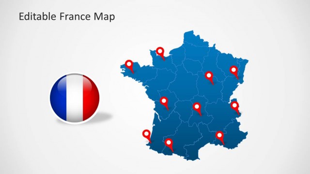
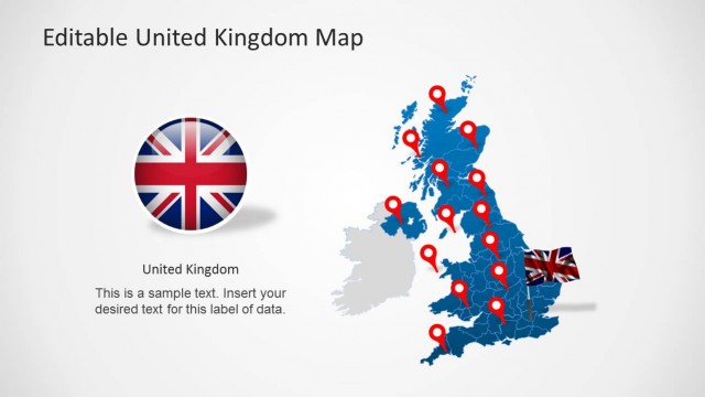
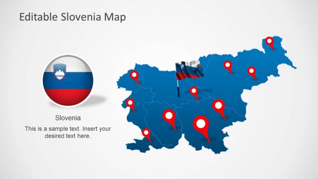
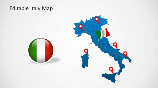
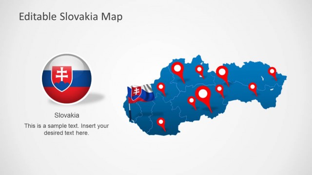
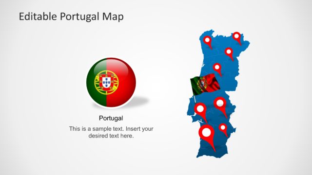
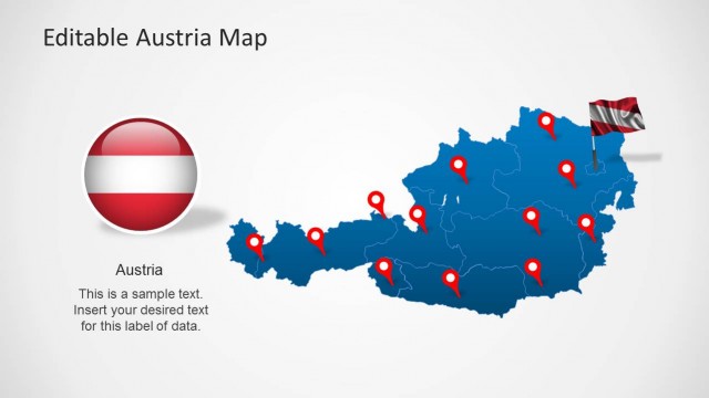
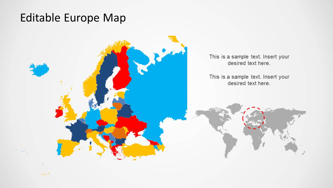
Download Europe Map Template for PowerPoint. This highly customizable template comes with a complete map of Europe, including smaller editable maps of European countries that can be separated from the main maps given in the sample slides.
With this PowerPoint Map Template you can easily depict different parts of Europe, as well as single out European countries like France, UK, Germany, Italy, Spain, Sweden, Austria, etc.
You can also download maps for individual European countries from our collection of Europe Map Templates for PowerPoint and map PowerPoint templates.
What’s inside this template
Example presentation scenarios
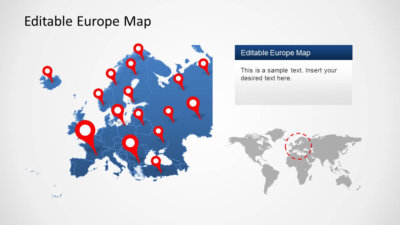
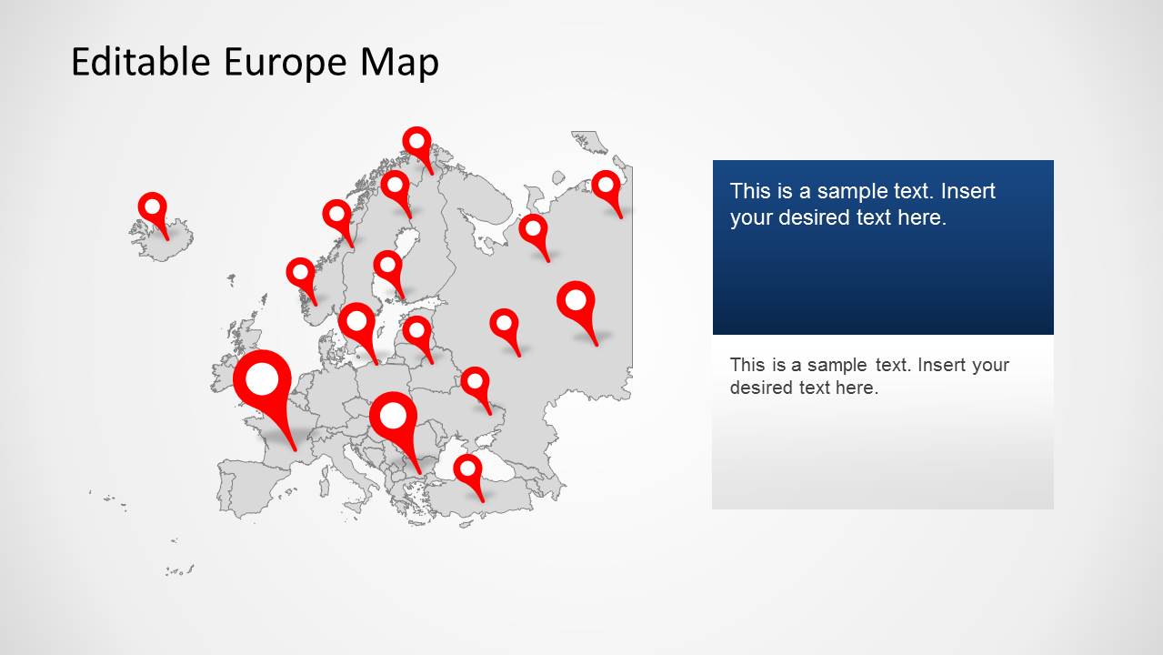
- A sales leader can present European account coverage to executives by using the pinned country map and color-coded country map to show priority markets and assigned territories.
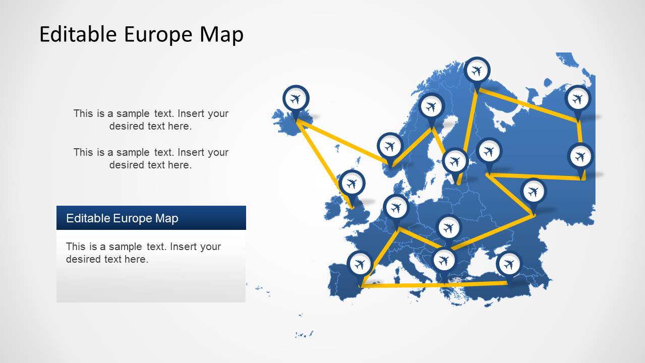
- A logistics planner can explain transport or airline connections to operations teams by using the route map with airplane icons and yellow path lines across Europe.
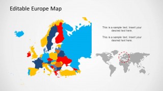
- A market analyst can brief stakeholders on regional opportunities by using the world locator map and the multicolor country map to position Europe within a global discussion.
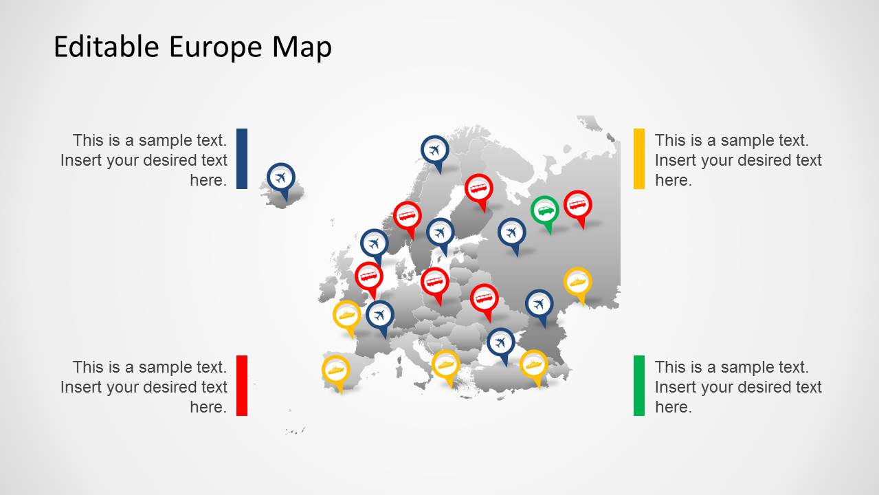
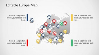
- A travel or tourism presenter can show destination clusters to partners by using the red location pins, categorized map markers, and editable callout text areas.
Features
- 100% editable presentation template
- Compatible with Microsoft PowerPoint and Google Slides
- 16:9 aspect ratio slides
- Scalable vector shapes, icons and illustrations
- AI-Ready for Microsoft Copilot and Claude
- Instant access and download
Frequently asked questions
Q: How should a presenter structure a regional Europe briefing with this map template?
A: Start with the world locator or full Europe map to orient the audience, then move to the slide that matches the main message: pins for locations, route paths for movement, or color-coded countries for territory comparisons. Keep text callouts short and use each slide to answer one geographic question before adding operational details.
Q: Who is this template best suited for, and when does it communicate the message clearly?
A: It fits presenters who need to explain where activity is happening across Europe rather than show dense numeric analysis. Sales teams can show territories, logistics teams can map routes, and travel teams can identify destinations. The visible pins, route lines, and country colors make it best for location, coverage, and movement updates.
Q: Why do pins, route lines, and color-coded countries work well in this design?
A: The visual metaphors are familiar: pins mark presence, route lines show movement, and filled countries suggest regions or categories. This lets the audience understand the geography before reading the supporting text. The gray and blue map bases also create contrast, so markers remain the focal point of the slide.
Europe Map Template for PowerPoint
5-slide Europe map presentation template with country pins, route paths, and territory views
Europe Map Template for PowerPoint is a 5-slide map presentation template for regional analysis, travel planning, logistics, and territory updates. It includes a Europe locator map, pinned country map, airline route diagram, categorized marker map, and color-coded country map for Microsoft PowerPoint and Google Slides.
- Category
- Maps
- Rating


 Loading...
- Aspect ratio
- 16:9, 4:3
- Item ID
- 6377-01
- Colors
 Microsoft PowerPoint
  Microsoft Copilot
  Claude for PowerPoint
 Other formats supported
Subscribe today and get immediate
access to download our PowerPoint templates.