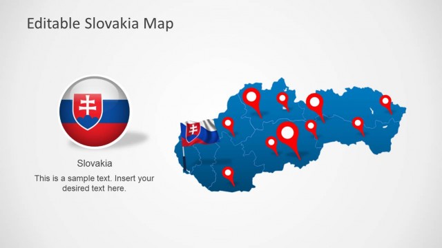
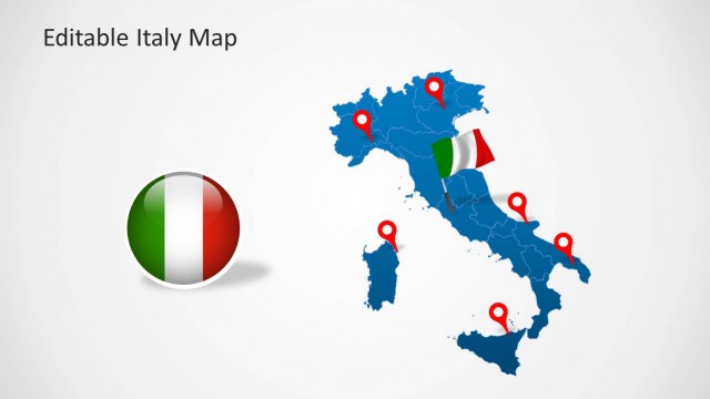
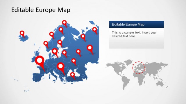
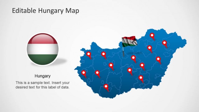
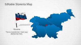
Download Slovenia Map Template for PowerPoint. This editable PowerPoint Template offers a completely customizable map of Slovenia, with the option to highlight individual regions of the country. The map is a composite of various regions of Slovenia that can be edited separately to single them out and even dragged outside the main map.
This template is among our collection of Europe Map Templates for PowerPoint, which provide maps for various European countries like UK, France, Germany, Sweden, Hungry, Poland, etc.
You can download this template for use with PowerPoint 2010 and PowerPoint 2013.
What’s inside this template
Example presentation scenarios
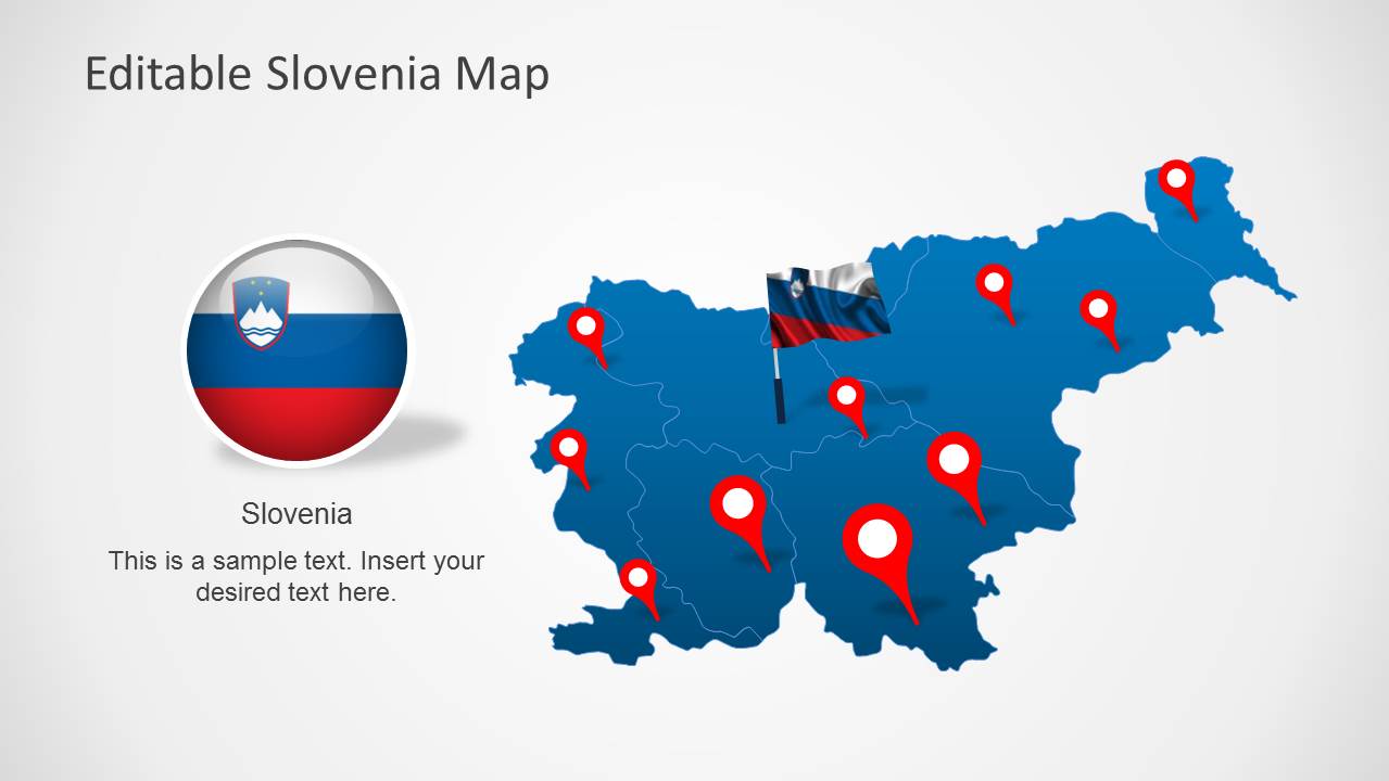
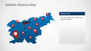
- A sales manager can present Slovenia territory coverage by using the pinned country maps to show active cities, priority regions, or planned expansion areas.
- A tourism presenter can introduce destination clusters with the Slovenia flag layouts, red markers, and editable captions for itinerary or route highlights.
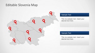
- A business analyst can explain regional performance by using the shaded regional map and right-side text panels to connect geography with key findings.
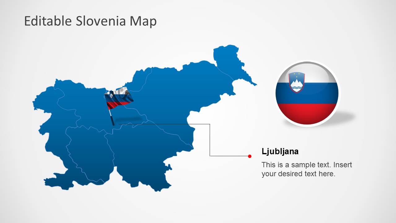
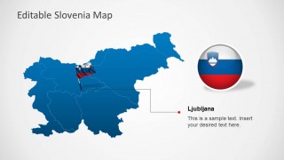
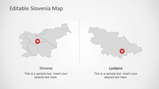
- An educator or public sector presenter can use the side-by-side Slovenia and Ljubljana layout to distinguish national context from a capital-city focus.
Features
- 100% editable presentation template
- Compatible with Microsoft PowerPoint and Google Slides
- Scalable vector shapes, icons and illustrations
- AI-Ready for Microsoft Copilot and Claude
- Instant access and download
Frequently asked questions
Q: How should a presenter organize a message with these Slovenia map slides?
A: Start with the full pinned Slovenia map to orient the audience, then move into one or two slides that isolate the most important regions or locations. Use the Ljubljana callout only when the capital needs specific attention. Keep each map tied to one claim, such as coverage, priority, risk, or destination value.
Q: Who is this template best suited for?
A: This template fits presenters who need to explain where something happens in Slovenia, not just describe it in text. Sales teams, tourism planners, educators, market researchers, and public sector teams can use the regional map, pins, flag visuals, and location callouts to connect a message to place.
Q: Why do the pins, flags, and zoom detail help communicate the map story?
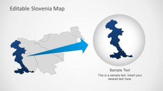
A: The red pins create fast visual anchors, the Slovenia flag reinforces national context, and the zoom detail turns a broad map into a focused explanation. This combination helps the audience move from country-level orientation to a specific place or region without losing geographic context.




Editable Slovenia Map Template for PowerPoint
8-slide PowerPoint map template for Slovenia regions, location pins, flag markers, and Ljubljana callouts
Editable Slovenia Map Template for PowerPoint is an 8-slide map deck for presenting Slovenian regions, location pins, national flag markers, and Ljubljana callouts. Visible layouts include a pinned country map, shaded regional map, two text-panel map layouts, a side-by-side Slovenia and Ljubljana view, and a zoomed map detail.

 Loading...
 Microsoft PowerPoint
  Microsoft Copilot
  Claude for PowerPoint
 Other formats supported
Subscribe today and get immediate
access to download our PowerPoint templates.