Slide 3 of 29 from Balkans Peninsula PowerPoint Maps
13022-02-balkans-peninsula-powerpoint-maps-16×9-3
Balkans Peninsula PowerPoint Map Slide
- Map
- Country Map
- Context Slide
- 16:9
- 100% Editable
What’s on This Slide
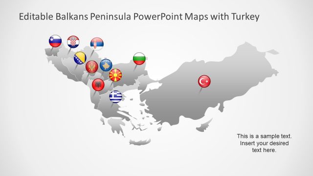
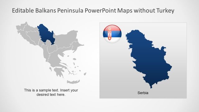
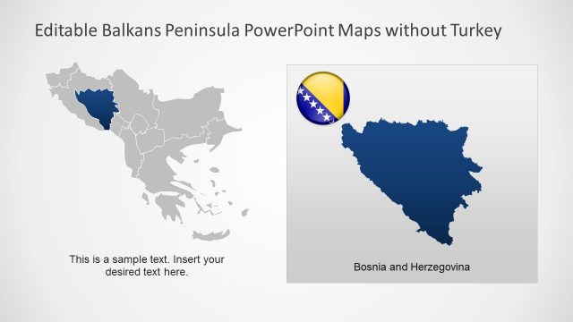
The slide features a map of the Balkans Peninsula, excluding Turkey. Country outlines are shaded in light gray, with circular icons representing various countries, each displaying their respective flags. The icons are distributed across the map, with some positioned centrally and others towards the edges. A text placeholder is located in the bottom right corner, aligned to the right, indicating where custom text can be inserted. The overall layout emphasizes the geographical distribution of countries in the region, with a clean and organized visual hierarchy.
How to Use It
This layout serves as a geographical representation of the Balkans Peninsula, suitable for presentations on political, cultural, or economic topics related to the region. It fits well after introductory slides that outline the context or significance of the Balkans. This slide can be used in discussions about regional relations, tourism, or demographic studies, providing a visual reference for audiences. It is effective for conveying information about multiple countries in a single view, making it ideal for comparative analyses.
Text Placeholders & Capacity
Keep your copy within these limits so it fits without resizing. Text slot is tight, roughly 8 words each.
| Placeholder | Count | Max characters (approx.) |
|---|---|---|
| Body paragraph | 1 | 40 |
Slide Keywords
Download unlimited PowerPoint templates, charts and graphics for your presentations with our annual plan.
DOWNLOADReturn to Balkans Peninsula PowerPoint Maps.