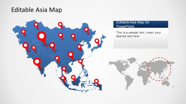
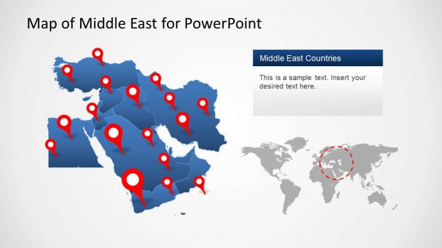
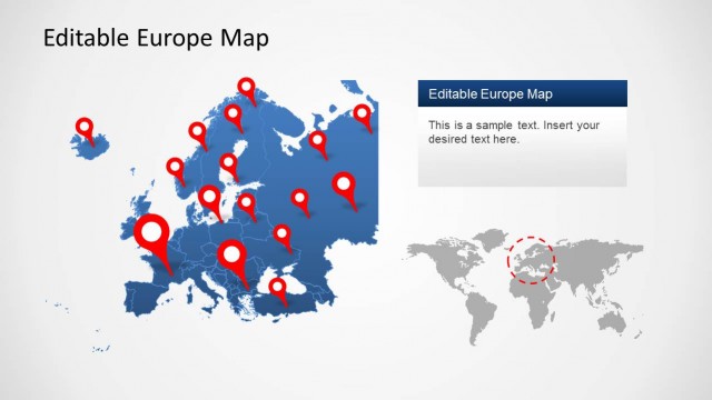
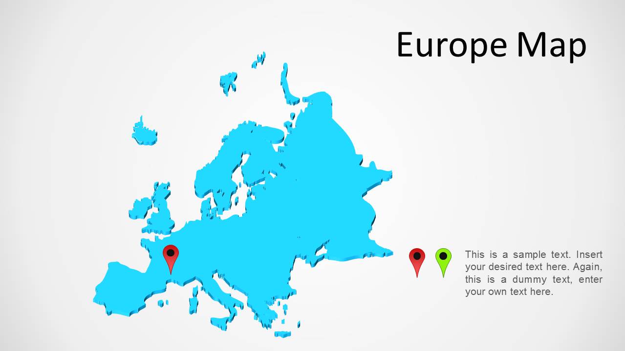
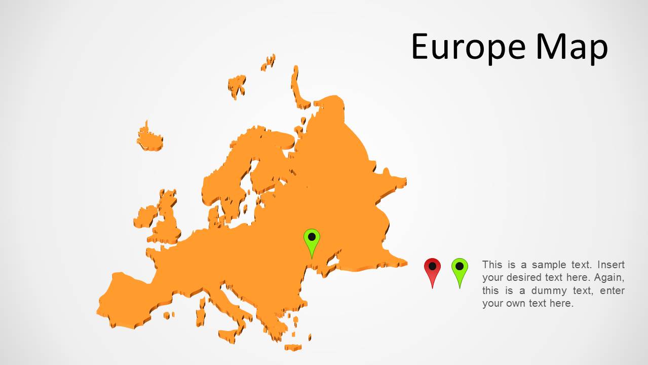
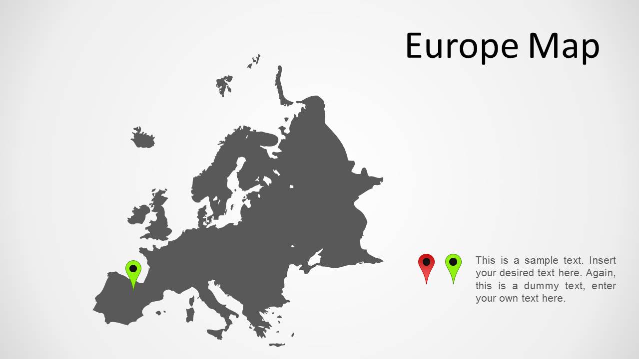
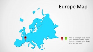
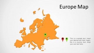
Europe Map for PowerPoint presentations is a presentation template with colorful maps of Europe which can be marked using the given GPS markers within each slide.
This is a simple Europe map template which can be used in presentations to highlight different areas of the continent and to create presentations where you might require displaying a basic map of Europe.
You can also download our Editable Europe Map Template for PowerPoint which comes with editable sub-maps of European countries that you can extract from the main map.
What’s inside this template
Example presentation scenarios
- A regional sales manager can show market presence across Europe by placing GPS pin markers on priority territories and using the right-side text callout to explain coverage.
- A logistics planner can present route or hub locations by marking countries on the Europe map and summarizing operating notes beside the map.
- An educator can introduce European geography by using the large continent map as a visual reference and adding short explanations in the editable text block.
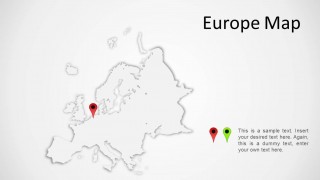
- A public sector analyst can brief stakeholders on regional programs by choosing a neutral gray or white relief map and marking affected locations with pins.
Features
- 100% editable presentation template
- Compatible with Microsoft PowerPoint
- 16:9 aspect ratio slides
- Scalable vector shapes, icons and illustrations
- AI-Ready for Microsoft Copilot and Claude
- Instant access and download
Frequently asked questions
Q: How should I present regional priorities without overloading the Europe map?
A: Start with one map color that fits the seriousness of the message, then limit the pins to the locations that support the main point. Use the title for the geographic claim and the right-side callout for the reason it matters. If many locations are needed, split them across the alternate map slides.
Q: Who is this template best suited for in a business presentation?
A: It fits presenters who need a quick geographic reference rather than a full data dashboard. Sales teams can show territory coverage, operations teams can mark hubs, and consultants can frame a European market discussion. The template works best when the audience needs to see where activity occurs before hearing detailed metrics.
Q: Why does the map-and-pin metaphor help communicate location-based information?
A: The large Europe silhouette gives the audience instant spatial context, while the GPS pins act as visual anchors for specific places. This reduces the need for long location lists and lets the presenter connect each marked point to a short explanation. The repeated layout also keeps attention on geographic differences, not slide formatting.

Europe Map PowerPoint Template
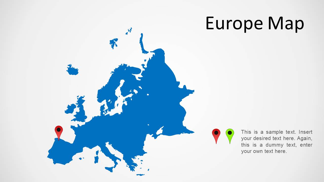
5-slide Europe map presentation template with editable continent maps and location markers
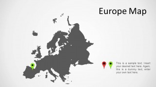
Europe Map PowerPoint Template is a 5-slide 16:9 map presentation template for Microsoft PowerPoint. It provides full Europe map layouts in blue, cyan, orange, white relief, and dark gray styles, with GPS marker icons and text callouts for planners, analysts, educators, or teams explaining regional coverage.
- Category
- Maps
- Rating

 Loading...
- Aspect ratio
- 16:9
- Item ID
- 1170-eu
- Colors
 Microsoft PowerPoint
  Microsoft Copilot
  Claude for PowerPoint
 Other formats supported
Subscribe today and get immediate
access to download our PowerPoint templates.