Continental Latin America PowerPoint Map
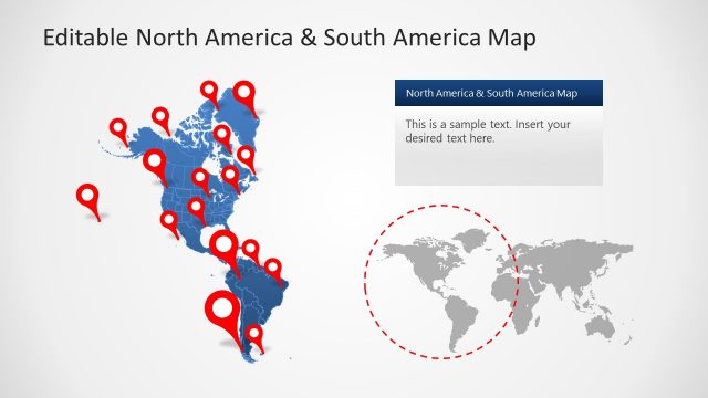
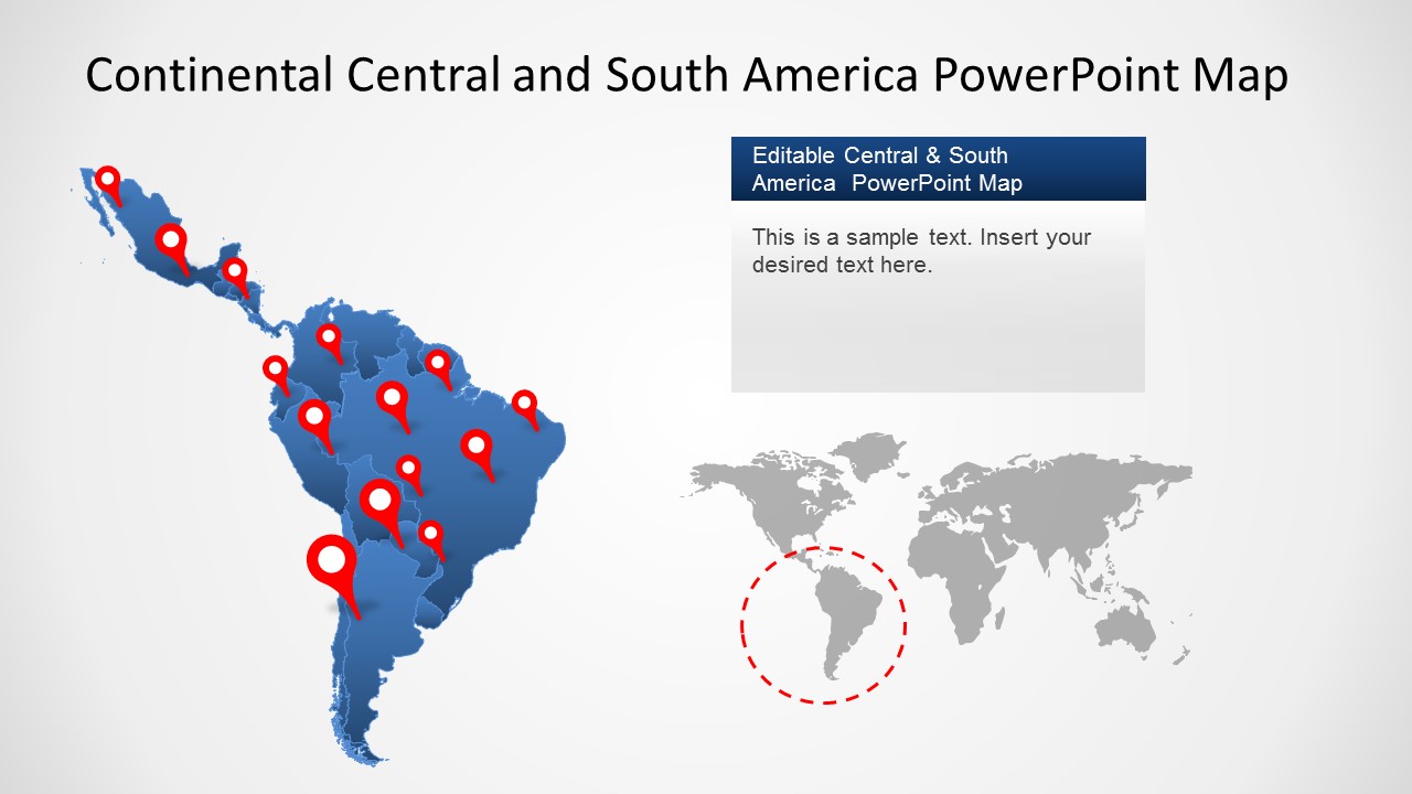
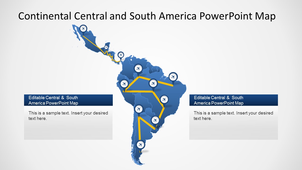
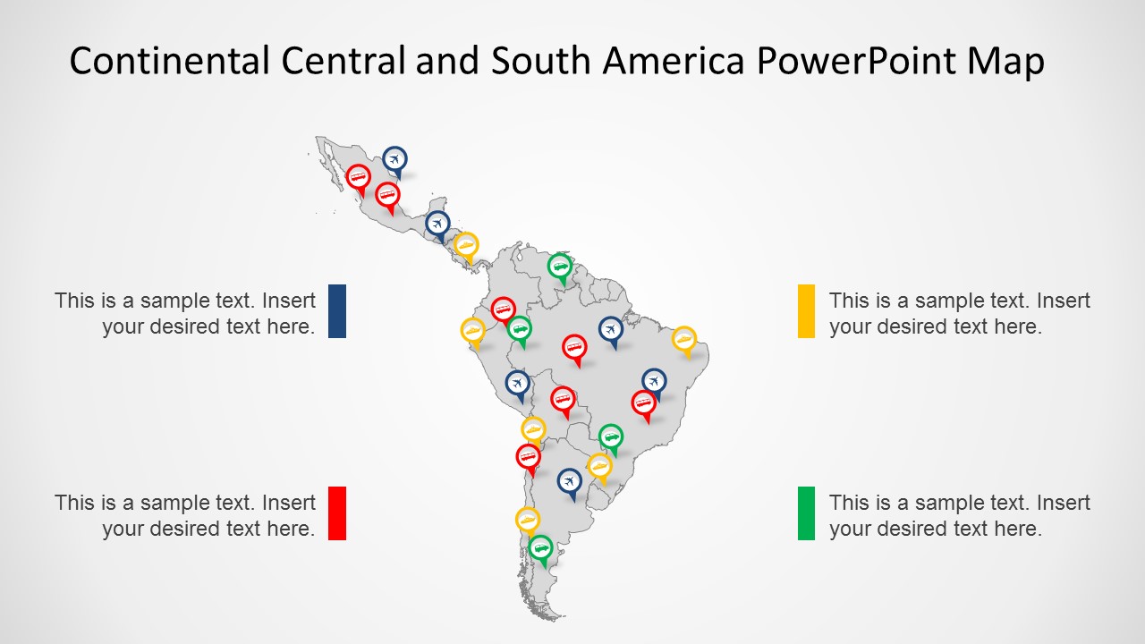
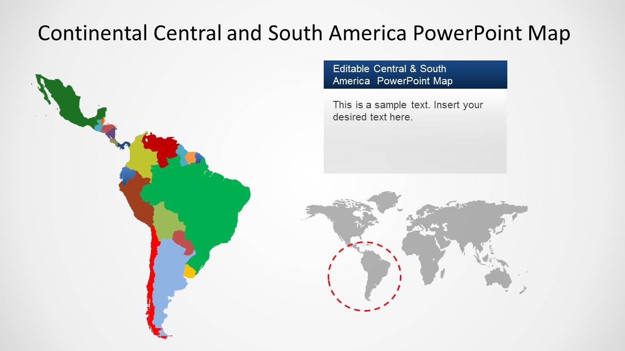
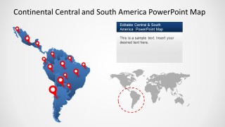
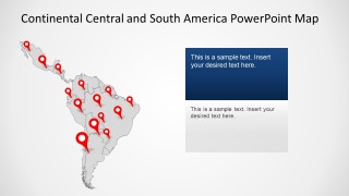
The Continental Latin America PowerPoint Map is a professional PowerPoint presentation featuring the merge of the PowerPoint Maps of continental Central America and South America. Islands nations are not included. Each country is independently created as a PowerPoint Shape, allowing users to customize their appearance fully.
Ideal for presenting traveling plans, locations of interest, or referencing international Latino markets. Impress your audience with this professional, high-quality Latin America PowerPoint Map (LatAm map) and create outstanding presentation decks with Latin America map templates.
Alternatively to this Latin America map template for presentations, compatible with PowerPoint and Google Slides, users can download other 100% editable map templates and outlines to use in their presentations.
You may also like:
- Editable Peru Map Template for PowerPoint
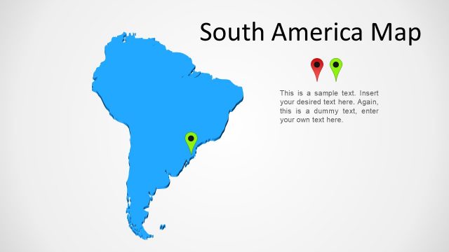
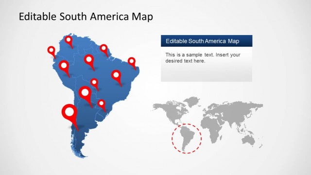
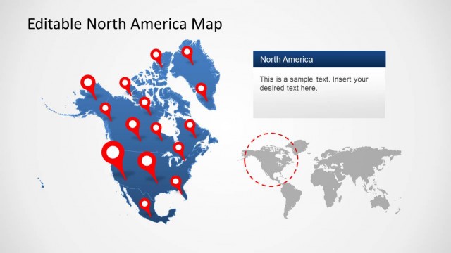
- South America Map Template for PowerPoint
- Ecuador Map Template for PowerPoint
- Editable Guatemala PowerPoint Map
- Chile Map Template for PowerPoint
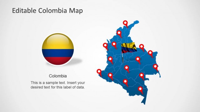
- Colombia Map Template for PowerPoint
- Uruguay Map Template for PowerPoint
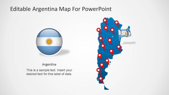
- Argentina Map Template for PowerPoint
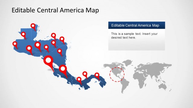
- Central America Map Template for PowerPoint
- Editable Brazil Map Template for PowerPoint
- Venezuela Map Template for PowerPoint
- Editable Paraguay Map Template for PowerPoint
- Editable Bolivia Map Template for PowerPoint
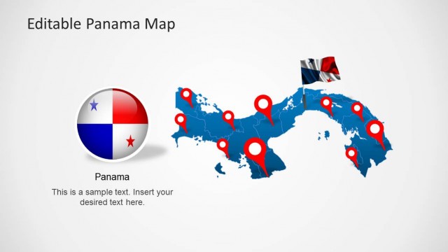
- Editable Panama Map Template for PowerPoint
- Editable Mexico Map Template for PowerPoint


You must be logged in to download this file.
DOWNLOAD- Category
- Maps
- Rating


 Loading...
- Size
- 16x94x3
- Item ID
- 8347-01
- Colors
Subscribe today and get immediate
access to download our PowerPoint templates.