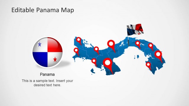
Chile Map Template for PowerPoint is a presentation template containing an editable map of Chile that you can use to prepare presentations in Microsoft PowerPoint 2010, 2013 and 2007.
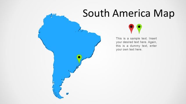
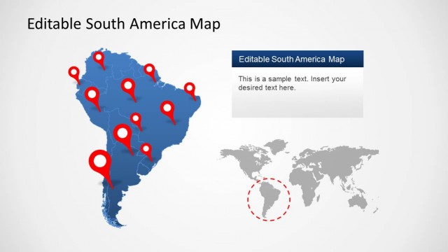
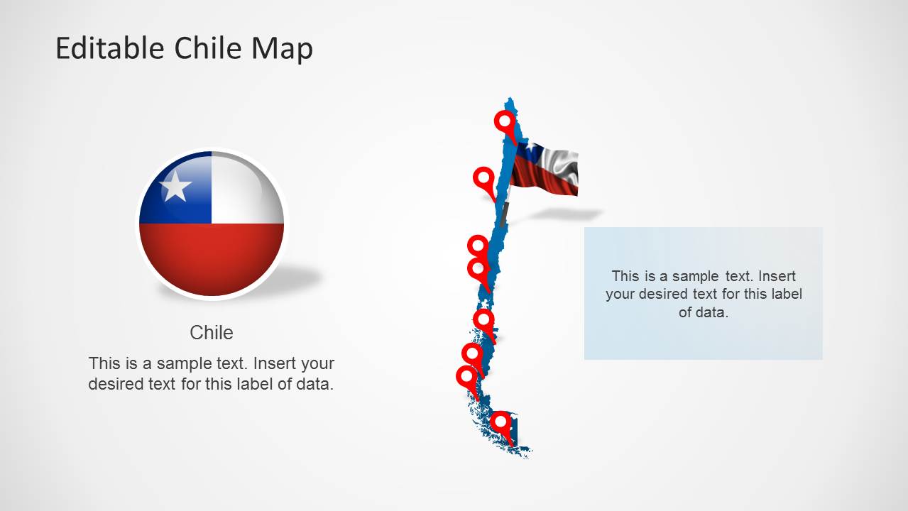
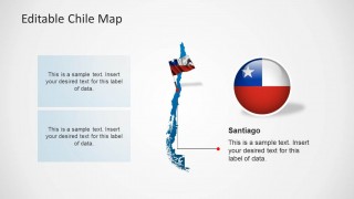
Map of Chile for PowerPoint presentations can help you to make presentations showing territories of Chile and combine the slide designs with other South America maps. You can also use the flag of Chile in your PowerPoint presentations.
What’s inside this template
Example presentation scenarios
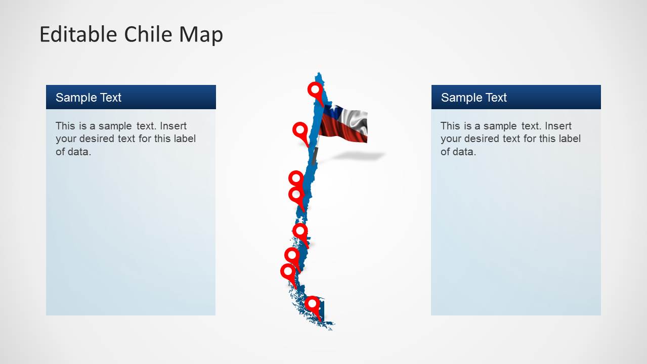
- A regional sales manager can show Chile market coverage by placing territory notes beside the pinned country map and using the two-panel comparison slide for north-versus-south priorities.
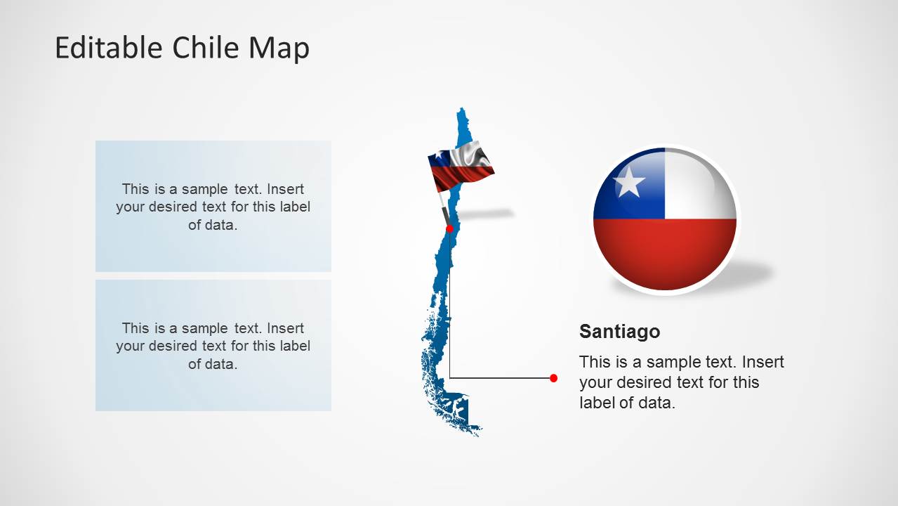
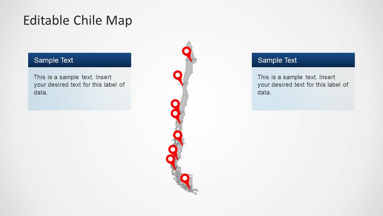
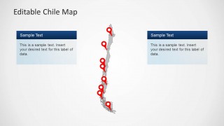
- A logistics presenter can explain service points or route planning by using the red pin markers and the Santiago callout to anchor the discussion around specific locations.
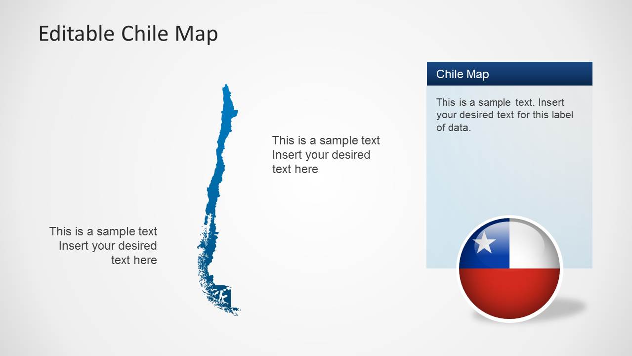
- A consultant can introduce a Chile country profile by combining the Chile flag badge, map silhouette, and callout panels to separate geographic facts from business implications.
- An educator or public sector presenter can explain Chile's position and territories using the clean map slides, labeled panels, and visible national flag elements.
Features
- 100% editable presentation template
- Compatible with Microsoft PowerPoint and Google Slides
- Scalable vector shapes, icons and illustrations
- AI-Ready for Microsoft Copilot and Claude
- Instant access and download
Frequently asked questions
Q: How should a presenter structure a short Chile location briefing with this template?
A: Start with the flag and full Chile map to orient the audience, then move into the slides with side callout panels for regional notes. Use the two-panel layout to compare two location groups, and reserve the Santiago callout slide for the most important city, office, project, or policy point.
Q: Who is this template best suited for?
A: This template fits presenters who need to explain where activity happens inside Chile rather than present a large amount of data. Regional managers, consultants, educators, logistics teams, and public sector speakers can use the red pin markers, country silhouette, and text panels to connect geography with decisions or context.
Q: Why does the design use pins, flag graphics, and separated callout panels?
A: The red pins act as visual anchors on Chile's long, narrow shape, making specific locations easier to track. The flag graphics establish national context quickly, while the pale blue panels keep explanatory text away from the map so the territory outline remains clear and the audience can separate place from commentary.

Chile Map Template for PowerPoint
5-slide PowerPoint map presentation template with Chile territory pins, flag graphics, and location callouts
Chile Map Template for PowerPoint is a 5-slide map presentation template centered on an editable Chile country silhouette. It includes red location pin markers, Chile flag graphics, pale blue callout panels, and a Santiago callout. It is suited to presenters explaining territories, market coverage, travel routes, policy regions, or geographic context in PowerPoint.


 Loading...
 Microsoft PowerPoint
  Microsoft Copilot
  Claude for PowerPoint
 Other formats supported
Subscribe today and get immediate
access to download our PowerPoint templates.