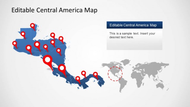
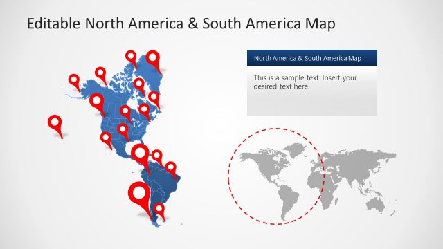
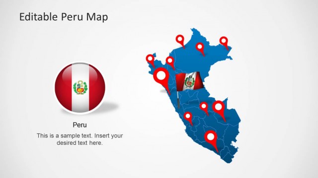
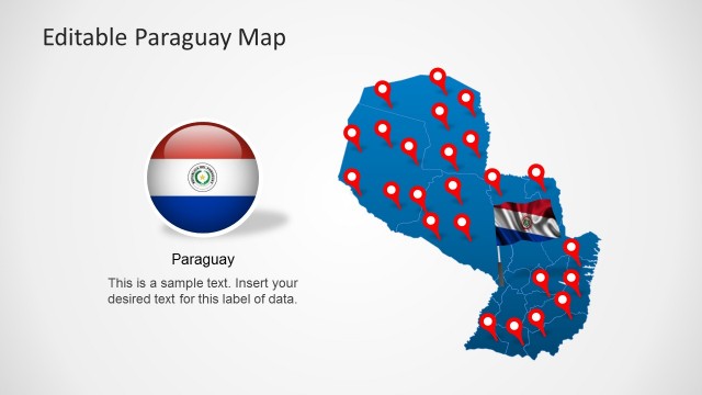
Editable Panama Map Template for PowerPoint is a PowerPoint template containing awesome slide designs with Panama maps and editable states that you can use in your presentations.
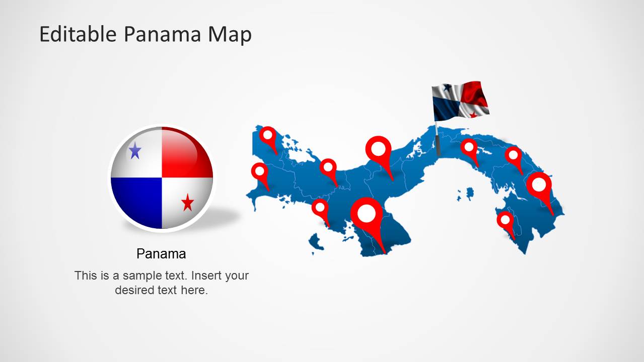
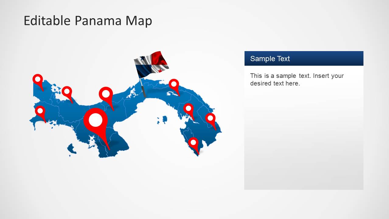
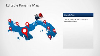
This map template covers all major regions of Panama and provides useful clipart items like GPS markers and the map of Panama. Each slide layout is unique and can be used for making custom map slides with your own content.
Also see our collection of other PowerPoint Map Templates and Central America Map PPT templates for various countries and regions.
What’s inside this template
Example presentation scenarios
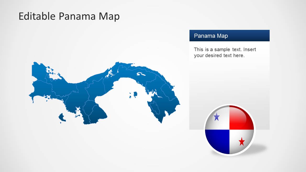
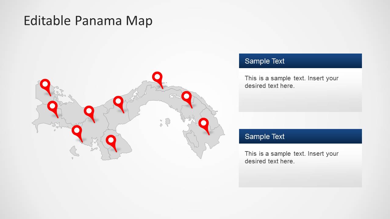
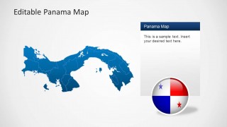
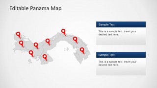
- A market research analyst can present Panama coverage and regional priorities using the GPS marker map, province boundaries, and side text panel layouts.
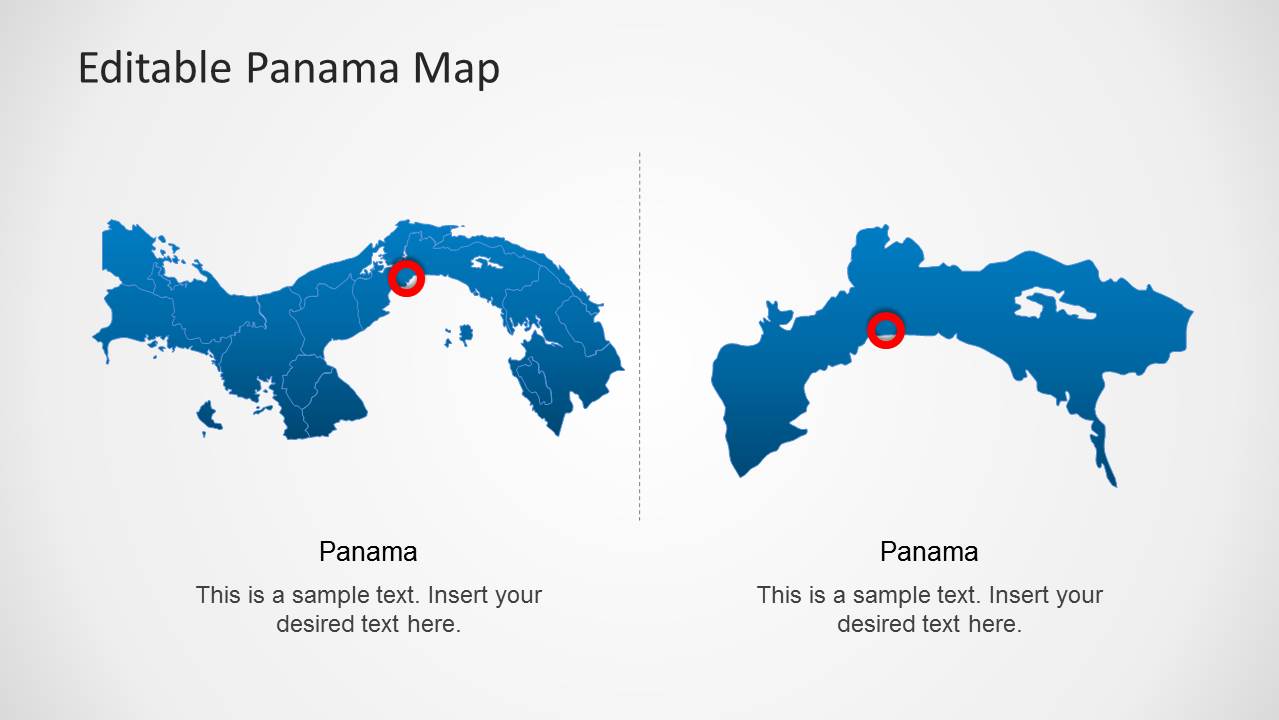
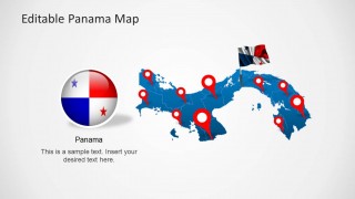
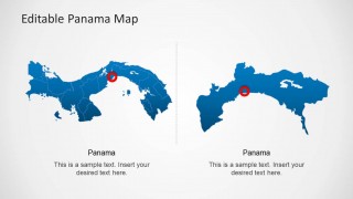
- A logistics planner can explain branch locations, service points, or delivery zones with the red pin maps and the two-map comparison slide.
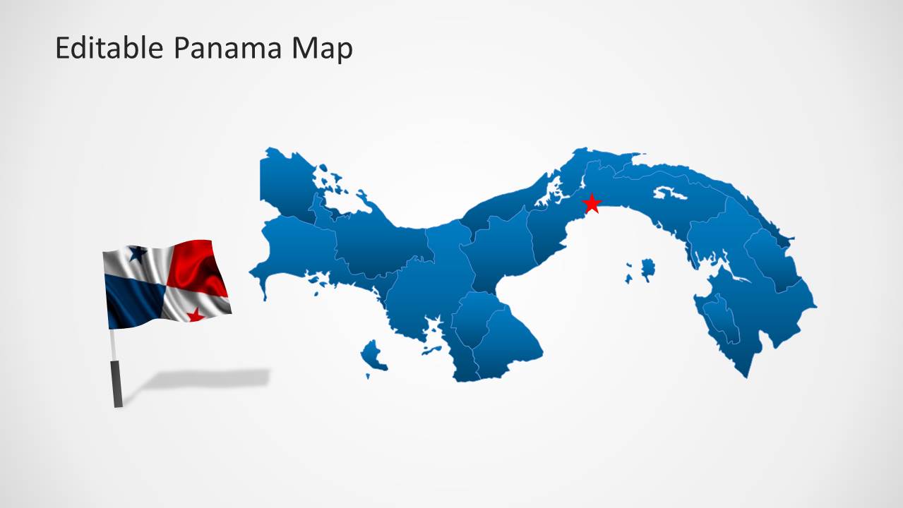
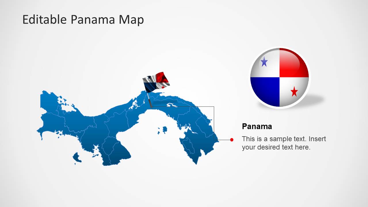
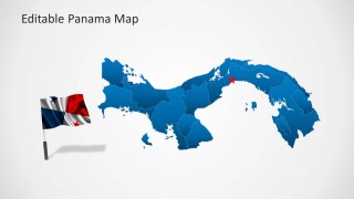
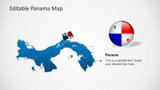
- A tourism presenter can introduce destinations in Panama using the flag graphics, highlighted star map, and location marker layouts.
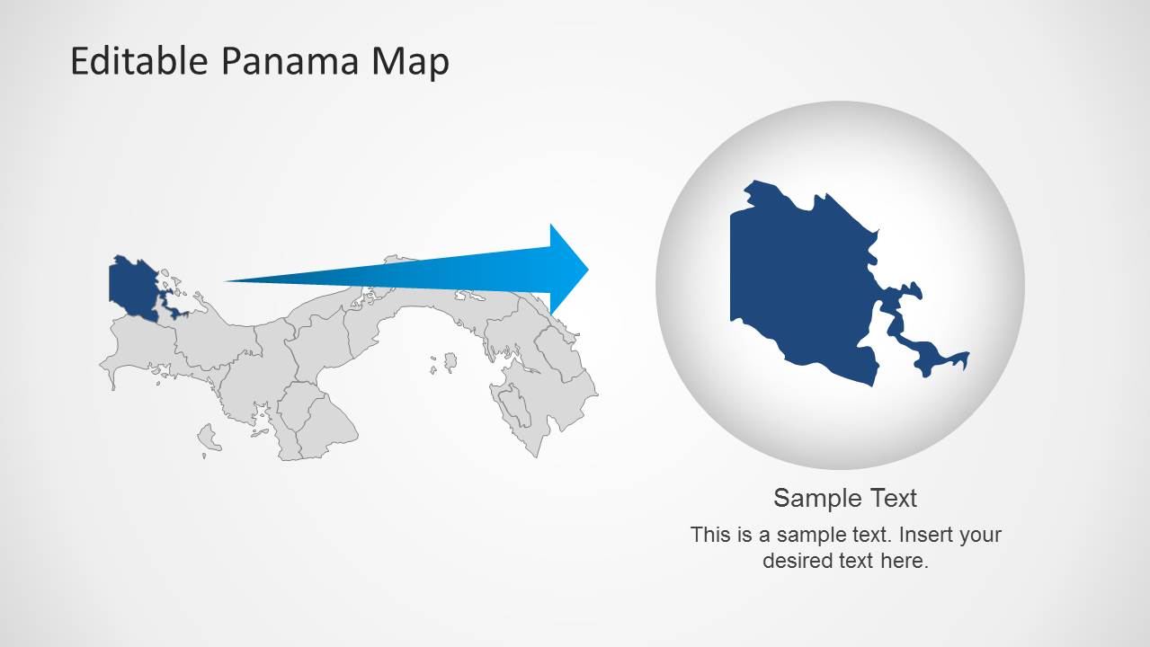
- An educator can teach Panama geography by showing the full country map, regional boundaries, and the zoom inset slide for a selected area.
Features
- 100% editable presentation template
- Compatible with Microsoft PowerPoint and Google Slides
- Scalable vector shapes, icons and illustrations
- AI-Ready for Microsoft Copilot and Claude
- Instant access and download
Frequently asked questions
Q: How should a presenter structure a clear Panama location briefing with this template?
A: Start with the full Panama overview map to orient the audience, then move to the marker-heavy slide for priority locations. Use the text panel slides to explain why those places matter, and reserve the zoom inset for the one region that needs extra attention. Keep each pin tied to a short label or spoken point.
Q: Who is this Panama map template best suited for?
A: It is best for presenters who need to explain where activity is happening in Panama, not just describe it in text. Business teams can map market coverage, logistics teams can show service points, educators can teach geography, and public sector teams can identify project areas with the pins, highlights, and regional boundaries.
Q: Why do the map markers, flag visuals, and zoom inset help the audience understand the message?
A: The red pins act as immediate location cues, while the Panama flag graphics signal the country context before details appear. The zoom inset turns one highlighted area into the visual focus, which helps the presenter move from national context to regional explanation without crowding the main map.
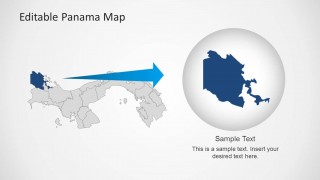
Editable Panama Map Template for PowerPoint
8-slide PowerPoint map presentation template with Panama regions, location pins, and flag graphics
Editable Panama Map Template for PowerPoint is an 8-slide map presentation template for geographic and regional content. It includes Panama province maps, GPS marker layouts, Panama flag graphics, text callout panels, highlighted regional maps, and an inset zoom map. It is intended for business, education, tourism, logistics, and public sector presentations in PowerPoint.

 Loading...
 Microsoft PowerPoint
  Microsoft Copilot
  Claude for PowerPoint
 Other formats supported
Subscribe today and get immediate
access to download our PowerPoint templates.