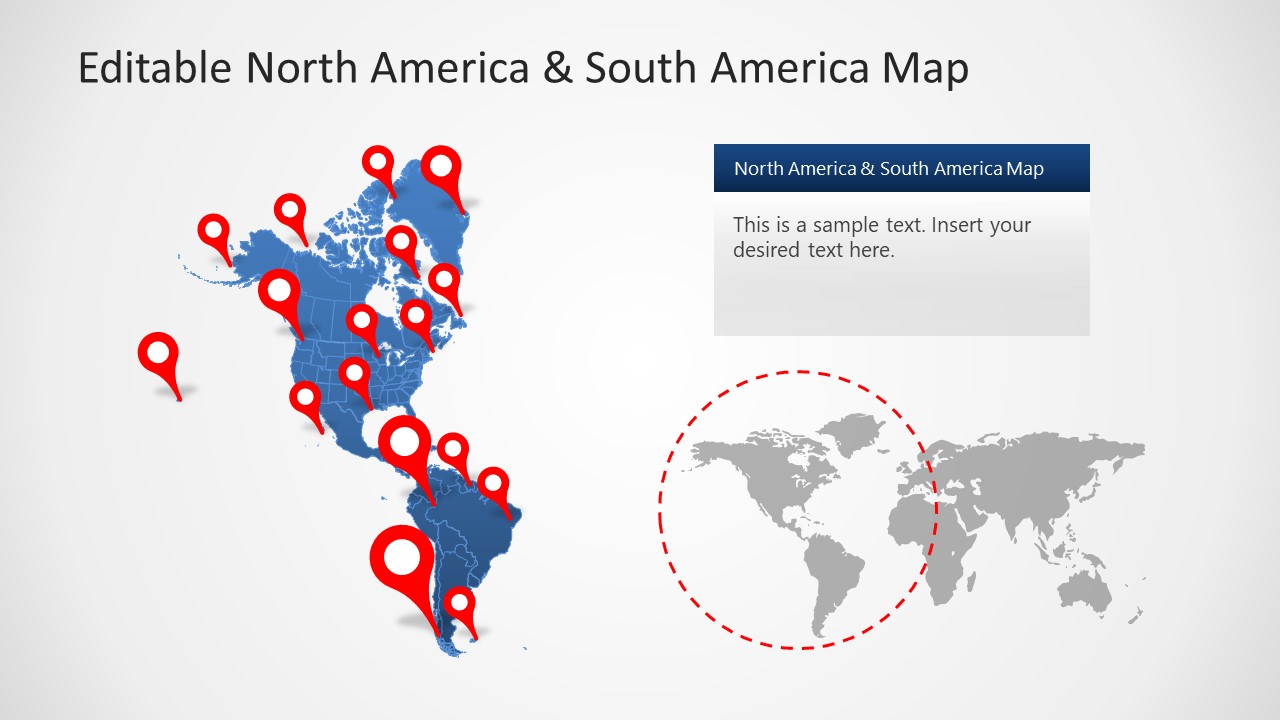
Editable North America & South America Map PowerPoint Template
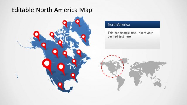
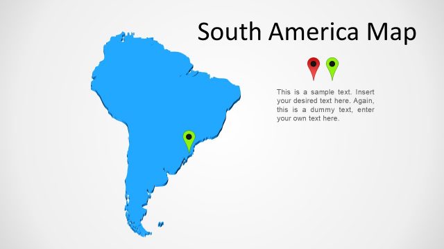
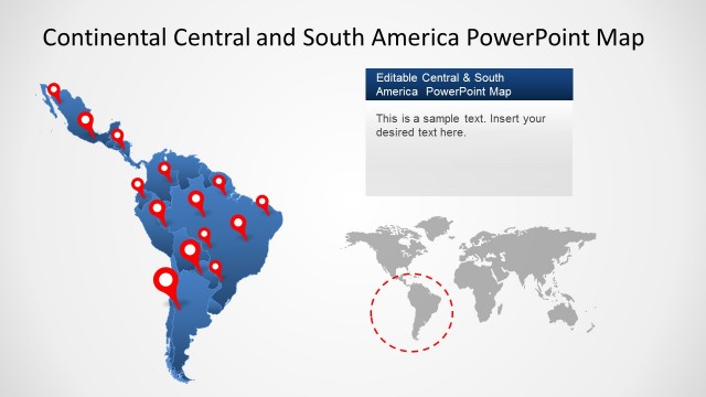
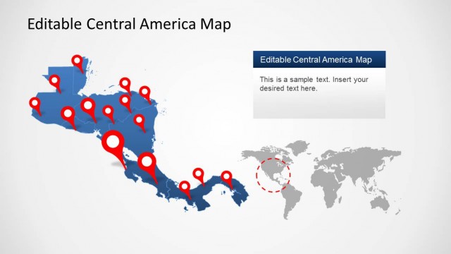
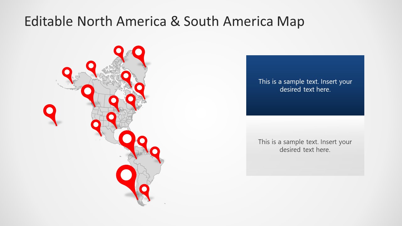
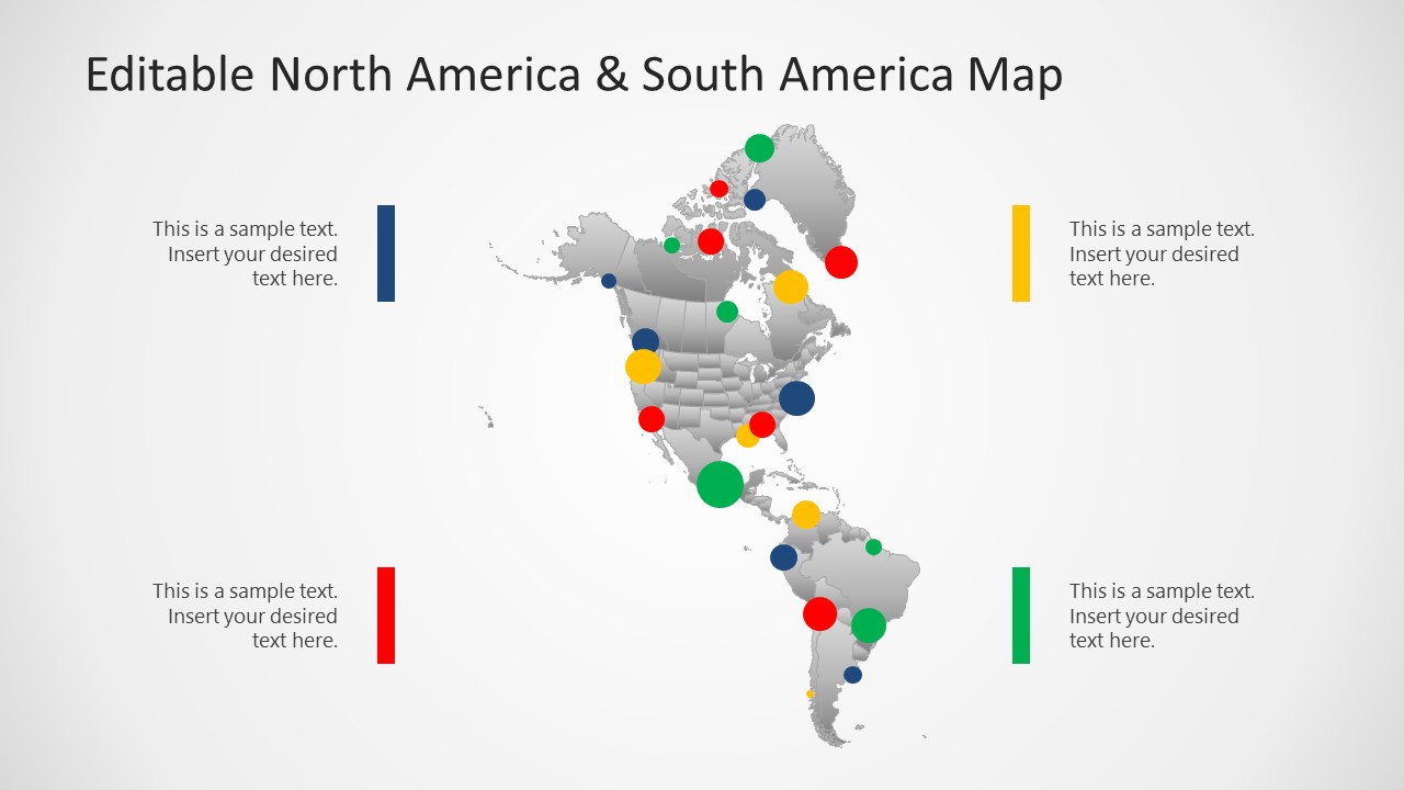
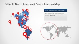
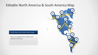
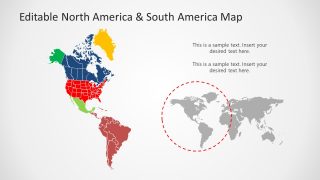
The Editable North America & South America Map PowerPoint Template presents geographic area of two continents. North and South America are considered two separate continents in 7-continent model of the world. The narrow land strip known as Isthmus of Panama lies between North America and South America. The continental map of Americas is an editable silhouette template for PowerPoint and Google Slides presentations. These are a set of independent PowerPoint shapes bundled together to display landmass of North and South America. Each editable unit representing national borders of all countries. Users can easily create a map presentation about different focused areas by resizing and zooming in on countries. The vector-based silhouette shapes will retain a high-quality resolution when resized.
The North America continent includes the United States of America, Canada, Mexico, Greenland, and all countries of Central America and Caribbean. The PowerPoint map template contains editable segments of all these countries. Similarly, the portion of map illustrating South America includes geographical boarders of Brazil, Bolivia, Argentina, Colombia, etc. The map of North and South America can be used to prepare presentations in Microsoft PowerPoint & Google Slides, including reports and presentation dashboards.
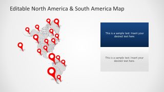
5-Slide PowerPoint templates of editable map offers five appealing designs for North America & South America geographic Map. These slides have various location marker icons, roadmap routes, and color-coded sections. Users can choose desired map design for range of presentation ideas. For example, travels and tours, business global reach regions, political outline maps, regional statistics, and more. Editable North America & South America Map PowerPoint Template can be customized according to presentation theme. PowerPoint formatting options lets users personalize all editable contents. You can download more map PowerPoint templates of countries, continents, and world from SlideModel Maps colletion.


You must be logged in to download this file.
DOWNLOAD- Category
- Maps
- Rating

 Loading...
- Size
- 16x9
- Item ID
- 20587-01
- Colors
Subscribe today and get immediate
access to download our PowerPoint templates.