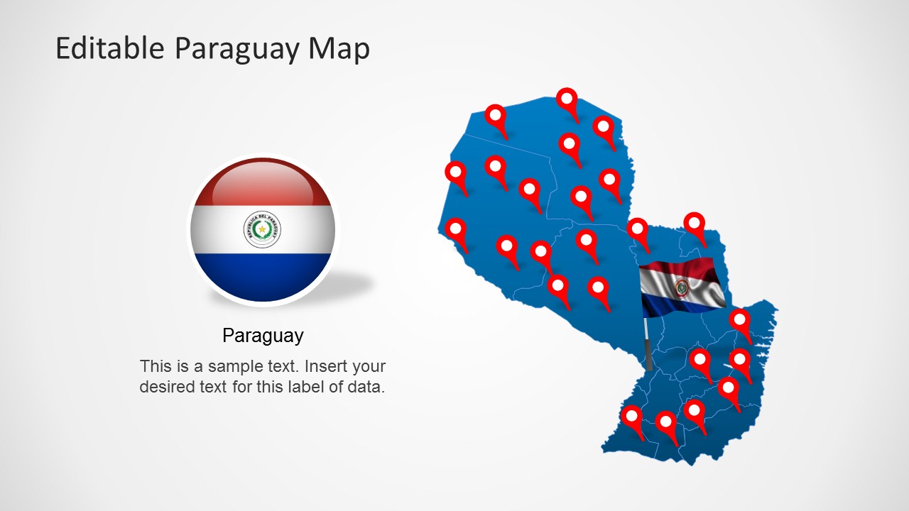
Accurately display all major regions of Paraguay with the Editable Paraguay Map Template for PowerPoint.
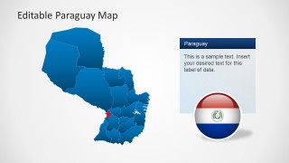
Using this editable map template you can create presentations with a complete map and flag of Paraguay. The template provides sub-maps for major regions of the country which can be extracted from the main map. You can even recolor and resize sub-maps and other objects within the template.
Also see our collection of PowerPoint Maps for different countries and continents.
What’s inside this template
Example presentation scenarios
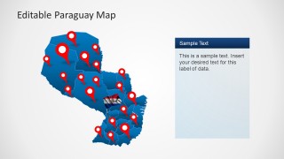
- A market analyst can use the pinned national map and right-side callout panels to show where Paraguay sales regions, store locations, or customer clusters are concentrated.
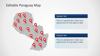
- A policy or nonprofit presenter can explain program coverage by marking intervention sites on the gray map with red pins and adding two short notes in the stacked information boxes.
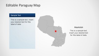
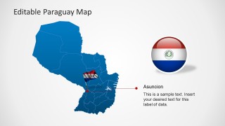
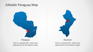
- An educator can introduce Paraguay geography with the flag badge, national map, province outlines, and Asuncion capital callout before moving to a zoomed regional view.
- A logistics or operations manager can compare national coverage with a city-specific focus by using the split Paraguay and Asuncion map layout.
Features
- 100% editable presentation template
- Compatible with Microsoft PowerPoint and Google Slides
- Scalable vector shapes, icons and illustrations
- AI-Ready for Microsoft Copilot and Claude
- Instant access and download
Frequently asked questions
Q: How should I structure a clear Paraguay briefing with this map template?
A: Start with the national map and flag badge to orient the audience, then use pinned maps to identify key locations. Move to the Asuncion callout when the capital matters, and close with the regional zoom if one area needs detail. Keep each text panel to one main message so the map remains the primary evidence.
Q: Who is this template best suited for?
A: This template fits presenters who need to explain where activity is happening in Paraguay: market analysts, regional managers, educators, policy teams, nonprofit coordinators, and logistics planners. It is strongest when the audience must understand locations, coverage areas, capital relevance, or regional focus rather than read a long written country profile.
Q: Why do the pins, flag badge, and zoom diagram improve the presentation?
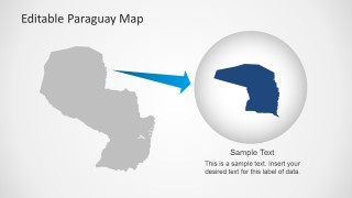
A: The red pins create quick attention points on the map, while the flag badge confirms the country context without adding a text-heavy explanation. The zoom diagram works as a visual metaphor for narrowing focus from the whole country to one important region, helping the audience follow scale changes without getting lost.


Editable Paraguay Map Template for PowerPoint
8-slide Paraguay map presentation template with regional pins, capital callouts, and flag badges
The Editable Paraguay Map Template for PowerPoint is an 8-slide country map deck for presenting Paraguay locations and regions. Visible layouts include a pinned national map, Asuncion capital callouts, a flag badge layout, and a regional zoom diagram. It suits market, operations, policy, education, and travel briefings in PowerPoint.


 Loading...
 Microsoft PowerPoint
  Microsoft Copilot
  Claude for PowerPoint
 Other formats supported
Subscribe today and get immediate
access to download our PowerPoint templates.