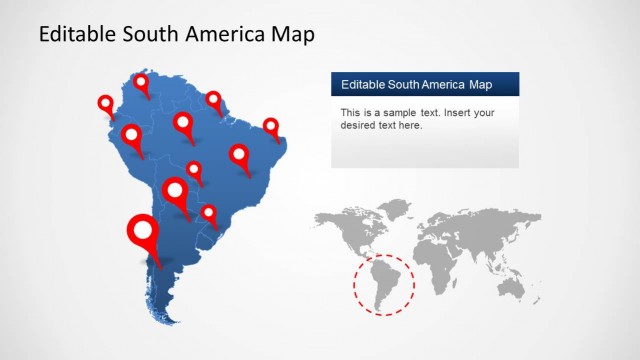
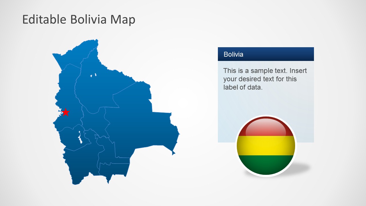
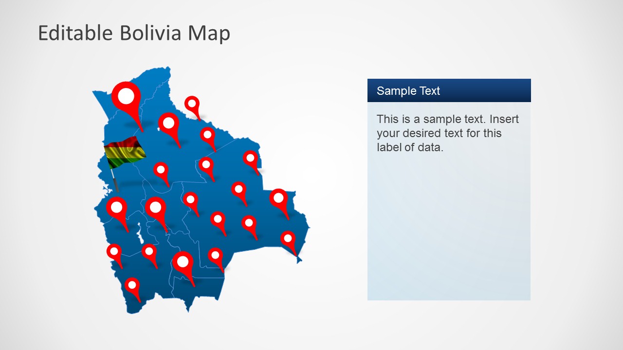
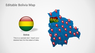
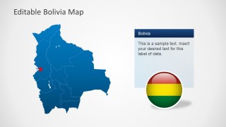
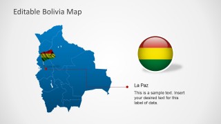
The Editable Bolivia Map Template for PowerPoint provides different layouts with an accurate map of Bolivia and the Bolivian flag.
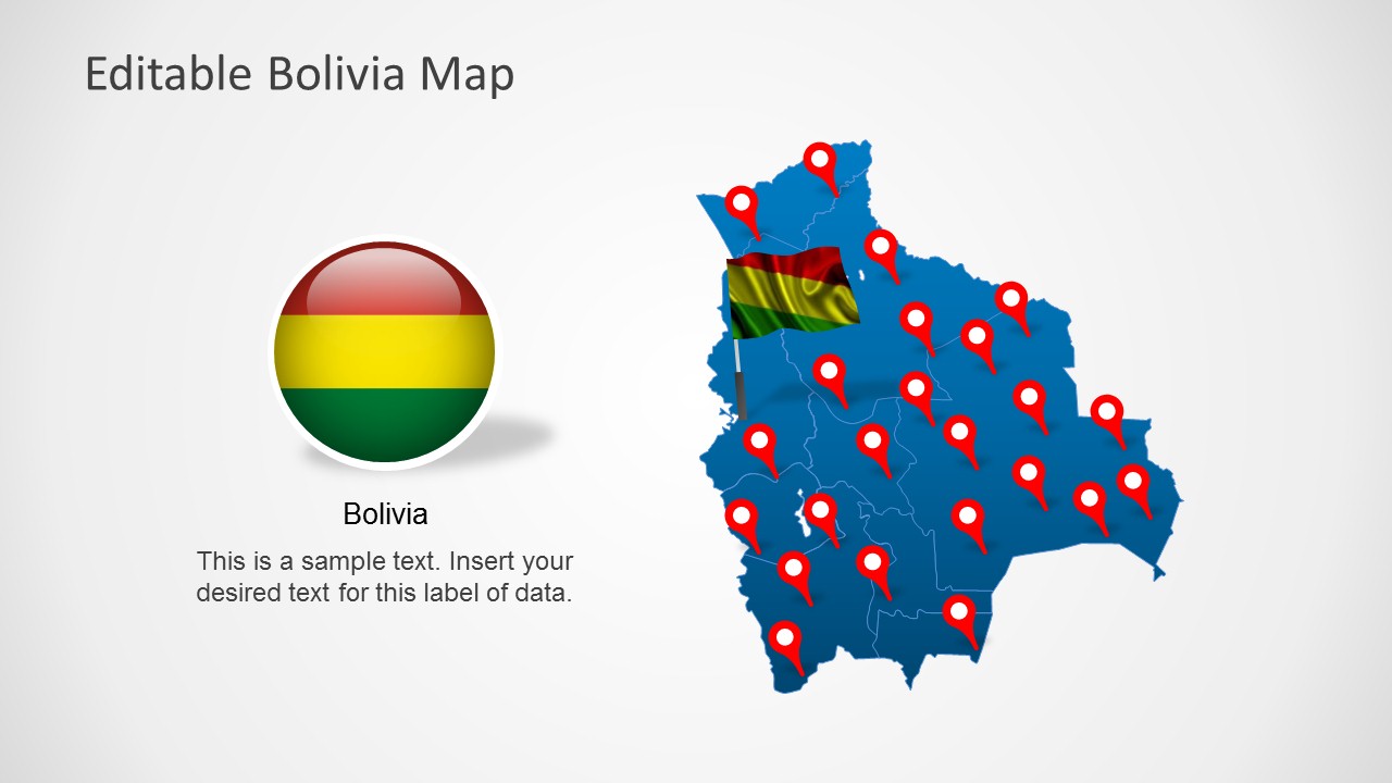
You can make your presentations more vibrant by displaying all major regions of Bolivia with the aid of editable maps, GPS markers and the flag of Bolivia. Each item in this template is editable and you can recolor and resize objects to suit your requirements.
To download more PowerPoint Templates with maps of various countries from around the world, see our catalogue of PowerPoint Map Templates.
What’s inside this template
Example presentation scenarios
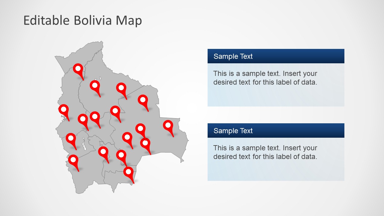
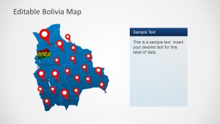
- A regional operations manager can show office coverage or service points across Bolivia using the multi-pin country map and the stacked note panels.
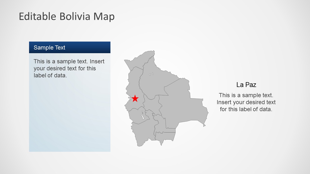
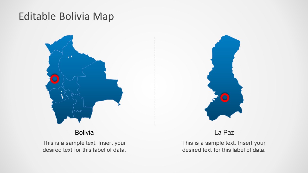
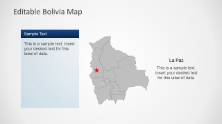
- A consultant can present a Bolivia market entry overview by starting with the country map, then using the La Paz callout slide to discuss a target city.
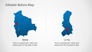
- An educator can introduce Bolivia geography with the flag badge, internal region outlines, and the side-by-side Bolivia and La Paz map comparison.
- An NGO or field team can map project sites, survey areas, or program coverage using the GPS pin slides and editable callout text boxes.
Features
- 100% editable presentation template
- Compatible with Microsoft PowerPoint and Google Slides
- Scalable vector shapes, icons and illustrations
- AI-Ready for Microsoft Copilot and Claude
- Instant access and download
Frequently asked questions
Q: How should a presenter build a clear story with these Bolivia map slides?
A: Start with the whole-country map to orient the audience, then narrow the focus to the pinned locations or La Paz callout that matters most. Use the text panels for one insight per location group. Avoid filling every pin with detail; let the map establish geography while the callout explains the decision, risk, or opportunity.
Q: Who is this template best suited for?
A: This template works best for presenters who need a Bolivia-specific geographic frame, such as regional managers, consultants, educators, NGO teams, or logistics planners. The GPS pin slides support coverage and site mapping, while the La Paz slide helps localize a national discussion around a capital-area point of interest.
Q: Why does the deck use pins, flags, and zoom-style map graphics?
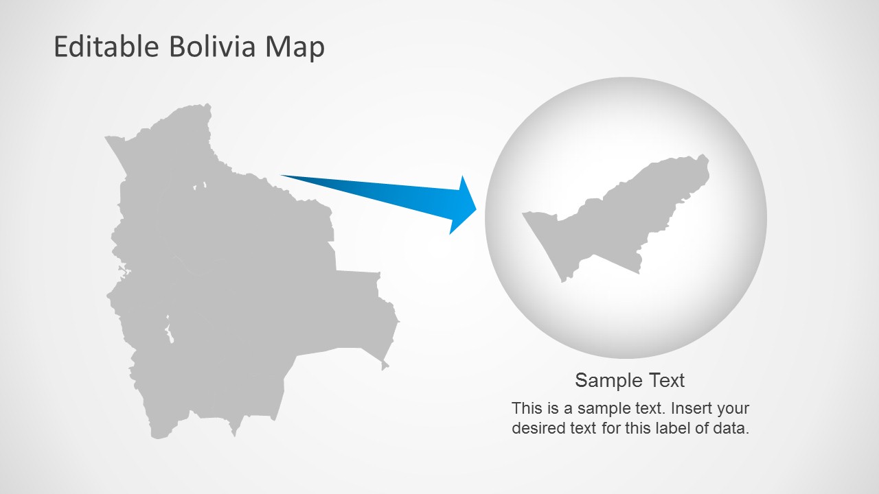
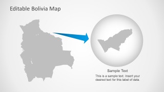
A: The pins quickly signal physical locations, the Bolivian flag badge confirms country identity, and the zoom graphic creates a visual bridge from national context to a selected area. These map metaphors reduce explanation time because the audience can see scale, identity, and focus before reading the text.


Editable Bolivia Map Template for PowerPoint
8-slide PowerPoint map template with Bolivia regions, location pins, flag badge, and La Paz callouts
The Editable Bolivia Map Template for PowerPoint is an 8-slide country map template for regional, geographic, and location-based presentations. It includes a Bolivia map with region boundaries, red GPS pins, a Bolivian flag badge, La Paz callouts, comparison map panels, and a zoom-style highlight graphic for business, education, or public-sector presenters.


 Loading...
 Microsoft PowerPoint
  Microsoft Copilot
  Claude for PowerPoint
 Other formats supported
Subscribe today and get immediate
access to download our PowerPoint templates.