Uruguay Map Template for PowerPoint
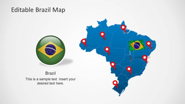
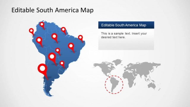
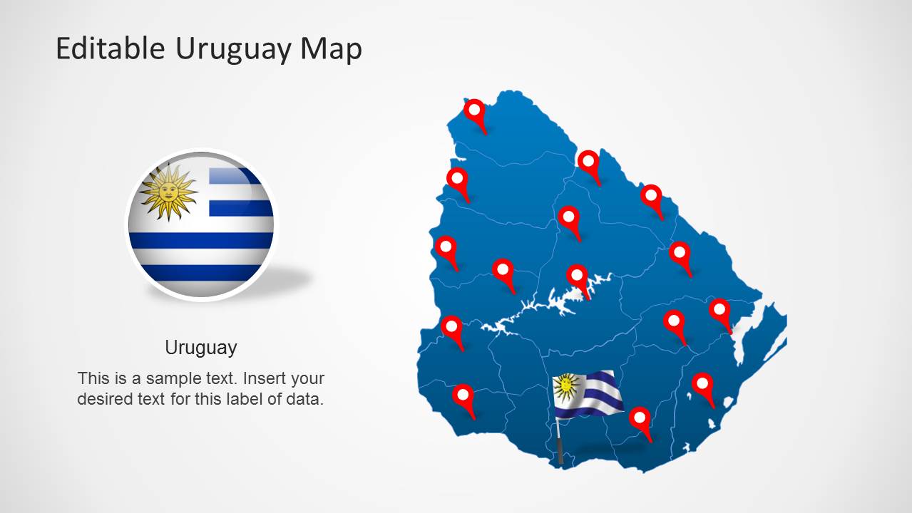
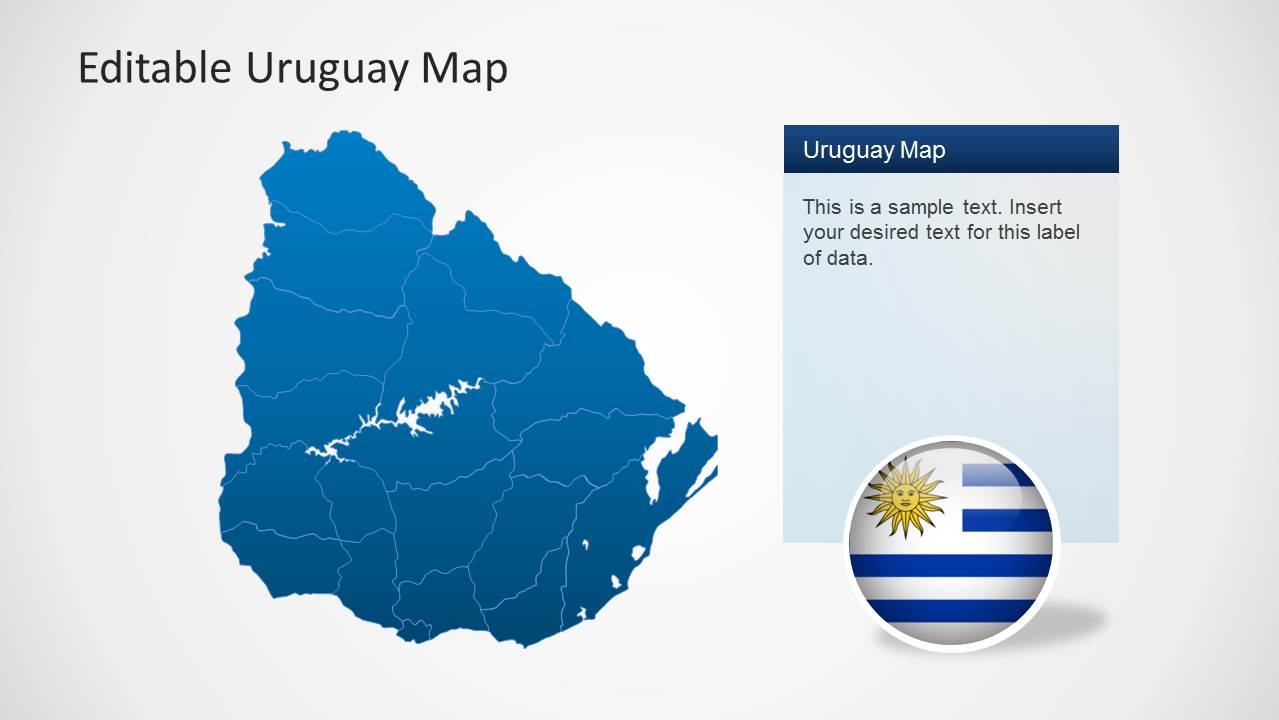
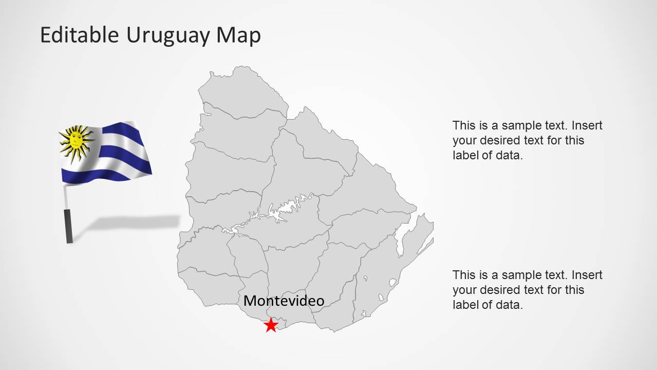
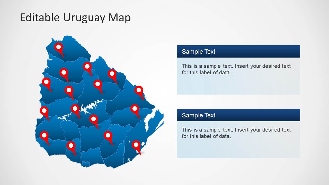
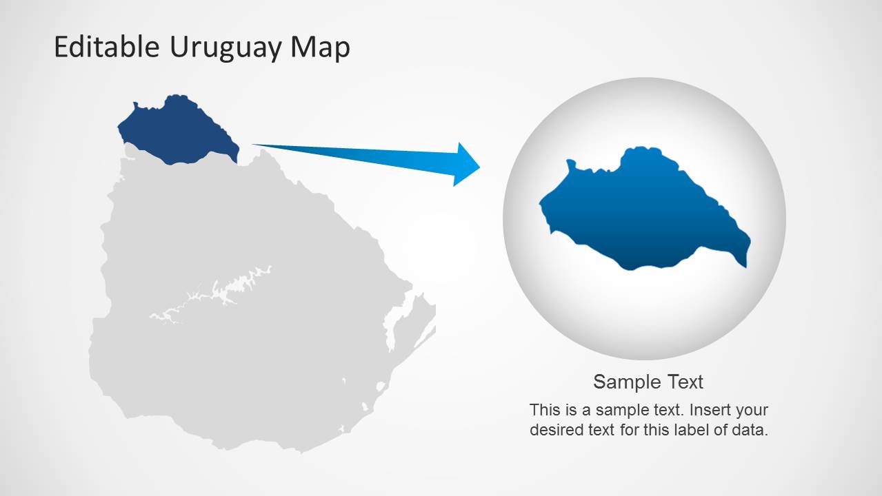
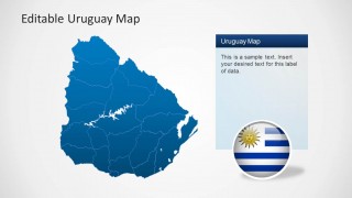
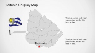
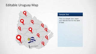
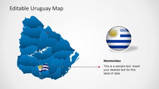
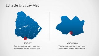
Uruguay Map Template for PowerPoint contains eight different slides with outline and political maps of the Oriental Republic of Uruguay. Each map shape is a composite of individual state shapes that enable the user to customize the maps as regions and reuse the maps’ fractions in different presentations.
It provides flag and circular icons for the Uruguay national colors. The user can identify specific places with location icons. It also highlights states with the highlight bubble supplied in one of the slides. The presentation also has a particular slide with Uruguay map on the left and Montevideo (state capital) on the right; the can be customized just placing another state.
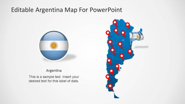
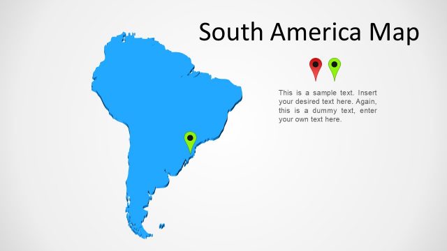
Uruguay is located in South America and borders Argentina and Brazil. Alternatively, you can download other presentation maps with editable elements like the Latin America Map template for PowerPoint and Google Slides.


You must be logged in to download this file.
DOWNLOAD- Category
- Maps
- Rating


 Loading...
- Size
- 16x9
- Item ID
- 6390-01
- Colors
Subscribe today and get immediate
access to download our PowerPoint templates.