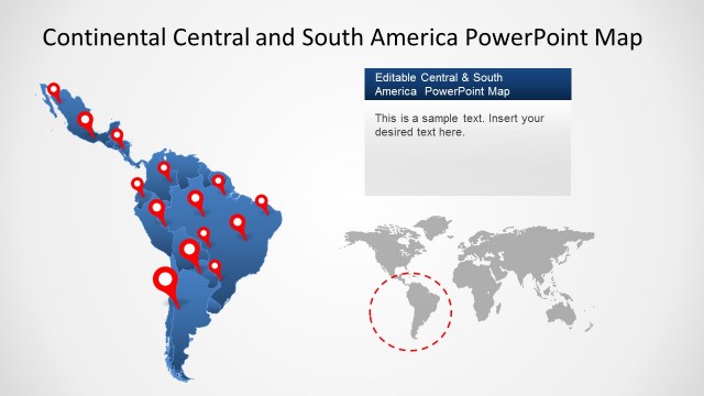
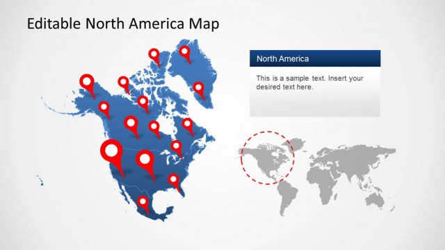
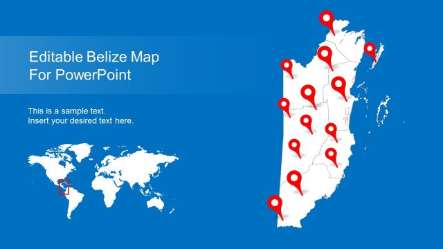
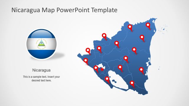
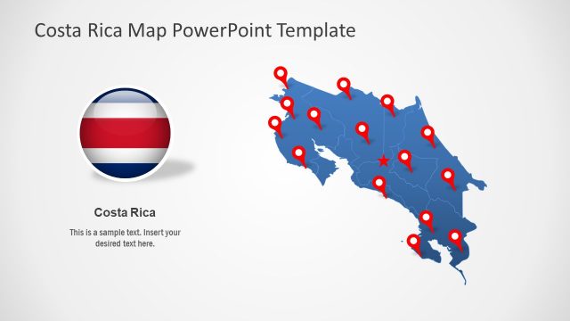
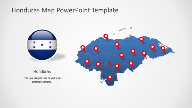
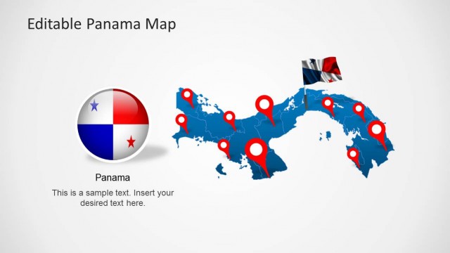
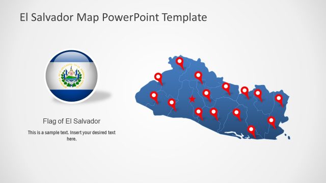
The Central America Map Template for PowerPoint is a customizable map template which accurately displays the map of Central America, including maps of specific countries.
The slides in this template not only offer a complete map of Central America but you can also edit and drag maps for individual Central American countries to customize the map in a comprehensive manner.
Each map design consists of smaller maps of Belize, Costa Rica, Honduras, Nicaragua, El Salvador, Guatemala and Panama. You can even single out maps for these countries to highlight them using options from the PowerPoint Ribbon Menu.
The different slide designs in this template can be quite handy to add visual appeal to your slides, with the help of layouts depicting GPS pointers, Airplanes and other useful symbols. Also, check our complete collection of Central America Maps PowerPoint templates.
What’s inside this template
Example presentation scenarios
- A regional sales manager can show territory coverage and target cities using the full Central America pin map and the color-coded country map.
- A travel planner can present a multi-country itinerary with the airplane route map, connecting flight icons, and editable route lines.
- A logistics team can brief stakeholders on distribution stops by using the GPS pin layouts and transportation markers across the regional map.
- A consultant can explain market presence by country with the color-coded map and the world locator inset for audience orientation.
- An NGO or public sector analyst can map program locations and service categories using the icon callout map with surrounding explanatory text.
Features
- 100% editable presentation template
- Compatible with Microsoft PowerPoint and Google Slides
- 16:9 aspect ratio slides
- Scalable vector shapes, icons and illustrations
- AI-Ready for Microsoft Copilot and Claude
- Instant access and download
Frequently asked questions
Q: How should a presenter structure a regional message with this map template?
A: Start with the full Central America pin map to orient the audience, then move to the route or icon callout map depending on the story. Use the color-coded country map when comparing markets or responsibilities by country. Keep text callouts short so the map stays dominant and the audience can read geography first.
Q: Who is this template best suited for?
A: This template fits presenters who need a geographic explanation rather than a numeric report. Regional sales leaders, travel planners, logistics teams, consultants, and NGO analysts can use the pins, route lines, country colors, and world inset to show where activity happens and how locations relate across Central America.
Q: Why do the pin, airplane, and color map layouts work well together?
A: Each visual metaphor answers a different location question. Pins answer where, airplane markers answer movement, and country colors answer regional segmentation. The set helps a presenter shift from place to route to territory without changing visual language, which reduces audience effort during a geographic briefing.


Central America Map Template for PowerPoint
5-slide Central America map presentation template with country maps, pins, and route markers
This is a 5-slide Central America map presentation template for Microsoft PowerPoint and Google Slides. It includes a full regional map with location pins, an airplane route map, a grayscale locator map, an icon callout map, and a color-coded country map for travel, logistics, sales territory, and regional planning presentations.
- Category
- Maps
- Rating

 Loading...
- Aspect ratio
- 16:9, 4:3
- Item ID
- 6376-01
- Colors
 Microsoft PowerPoint
 Microsoft Copilot
 Claude for PowerPoint
Other formats supported
Subscribe today and get immediate
access to download our PowerPoint templates.