Argentina Map Template for PowerPoint shows a map of Argentina along with helpful slides that can help you create presentations about the country.
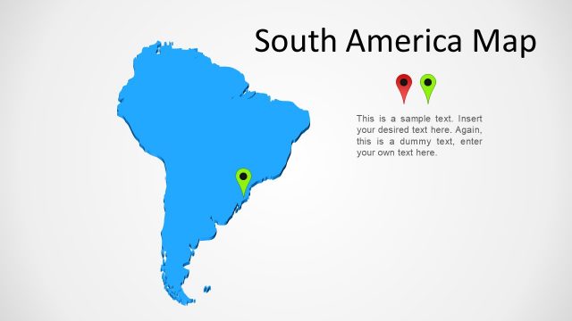
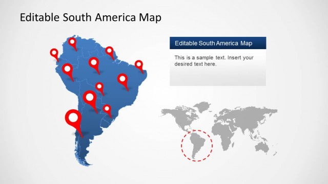
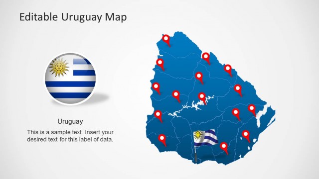
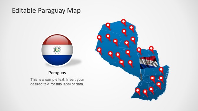
This template is a part of our collection of South American Map Templates for PowerPoint, which provide maps, flags and clipart related to countries like Brazil, Chile, Ecuador, Colombia, Venezuela, Uruguay and the South American continent.
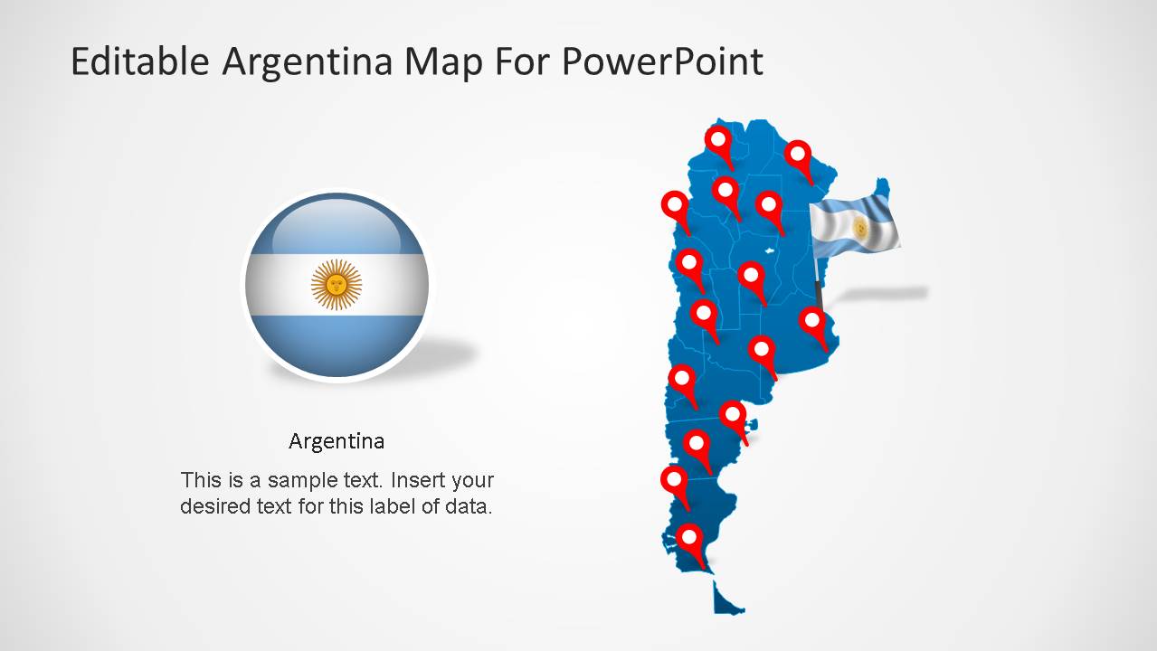
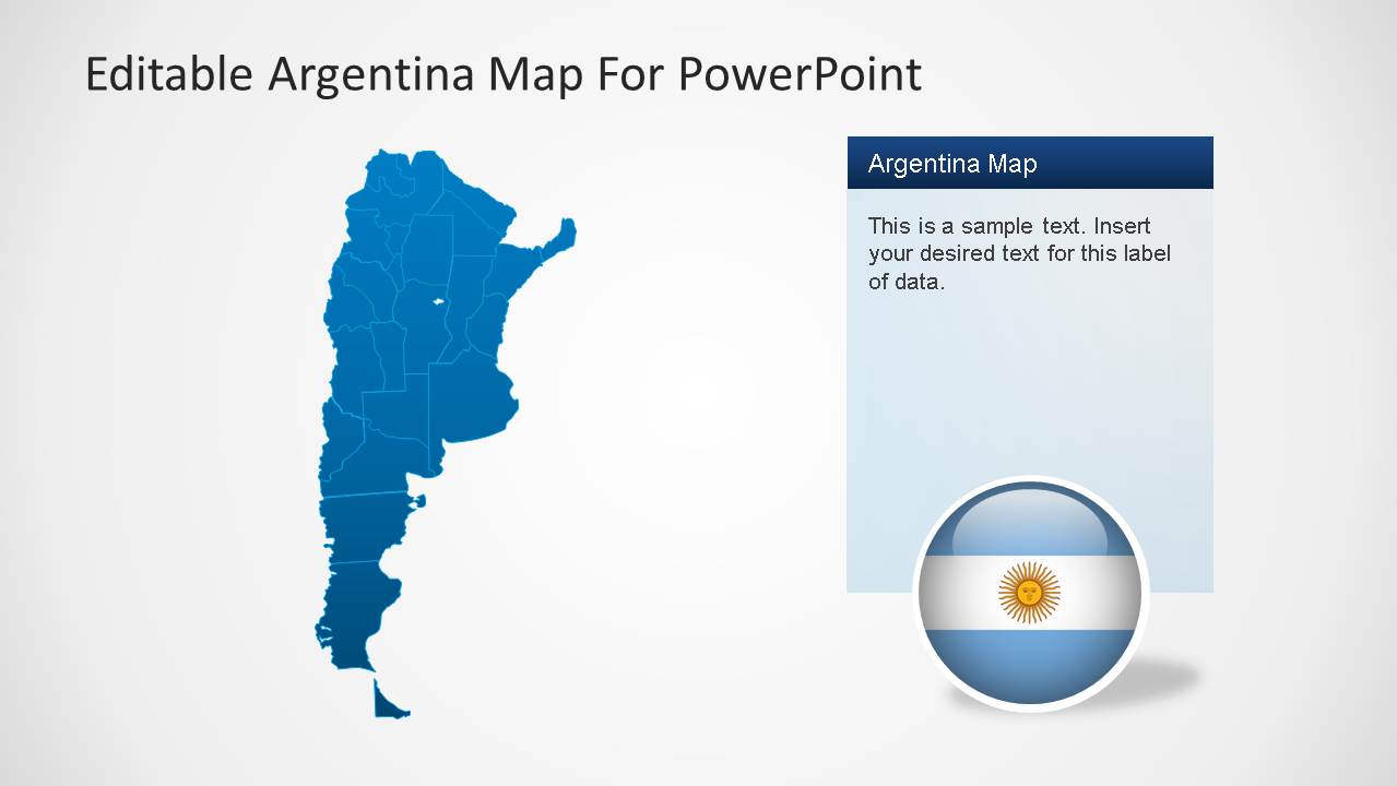
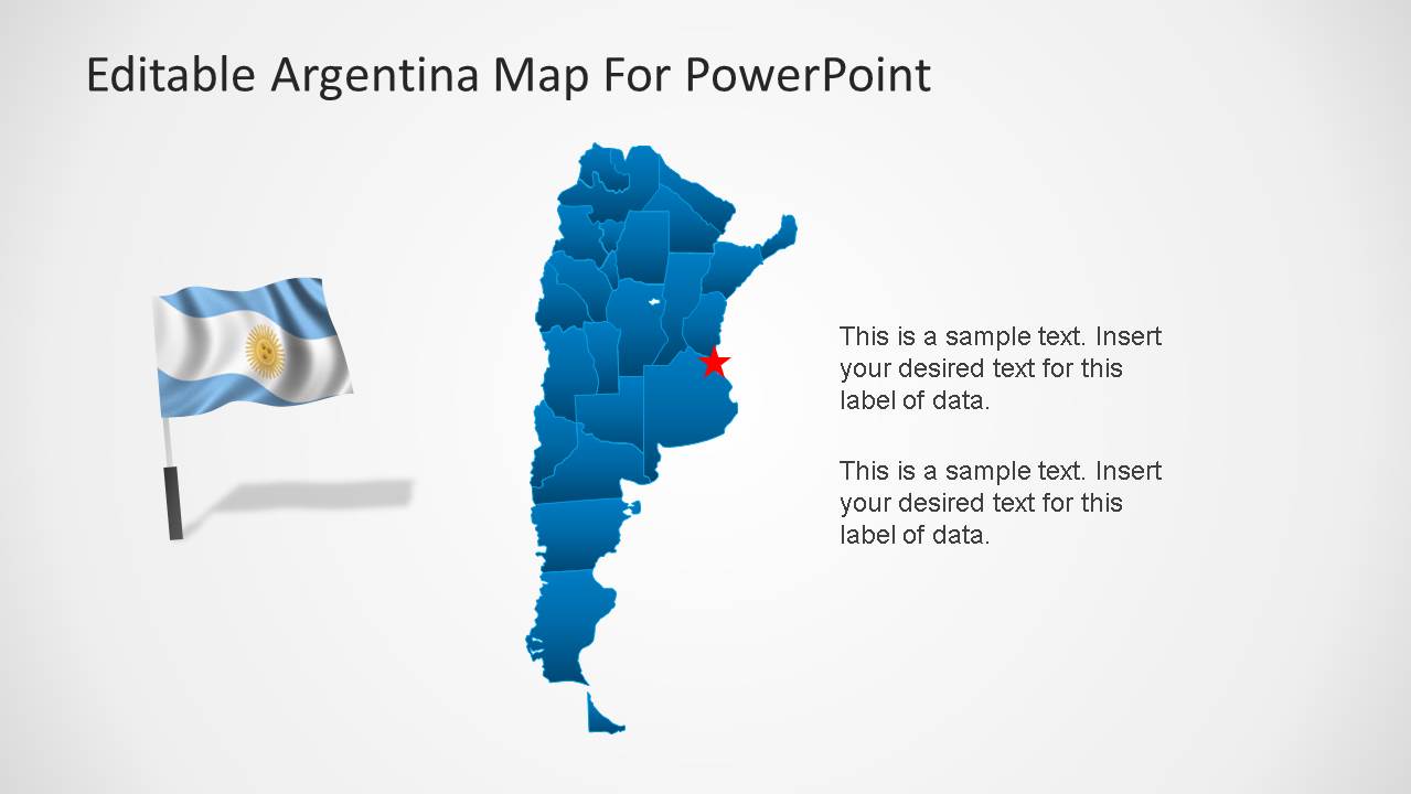
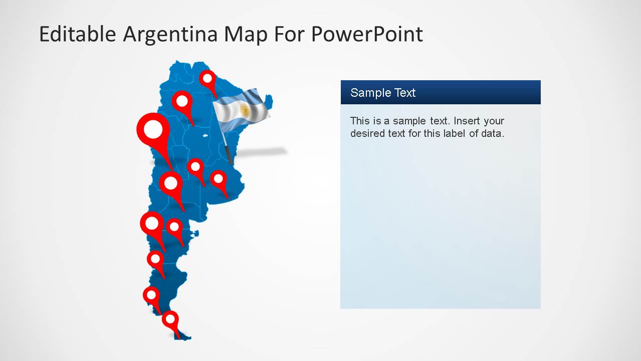
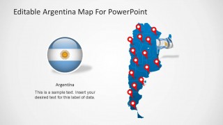
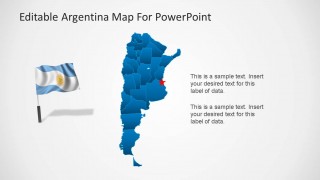
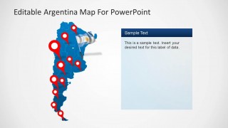
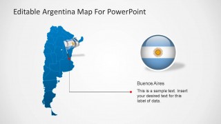
The Argentina Map Template provides an editable map, flag of the country and GPS markers for highlighting specific areas on the given maps.
What’s inside this template
Example presentation scenarios
- A market analyst can use the Argentina map and pin marker slides to explain target cities, coverage areas, or regional expansion plans to executives.
- An educator can use the flag graphics, country map, and regional highlight slides to introduce Argentina in a geography or social studies lesson.
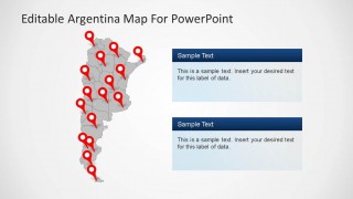
- A travel presenter can use the map with red location pins and editable text panels to show destinations, itinerary stops, or tourism regions.
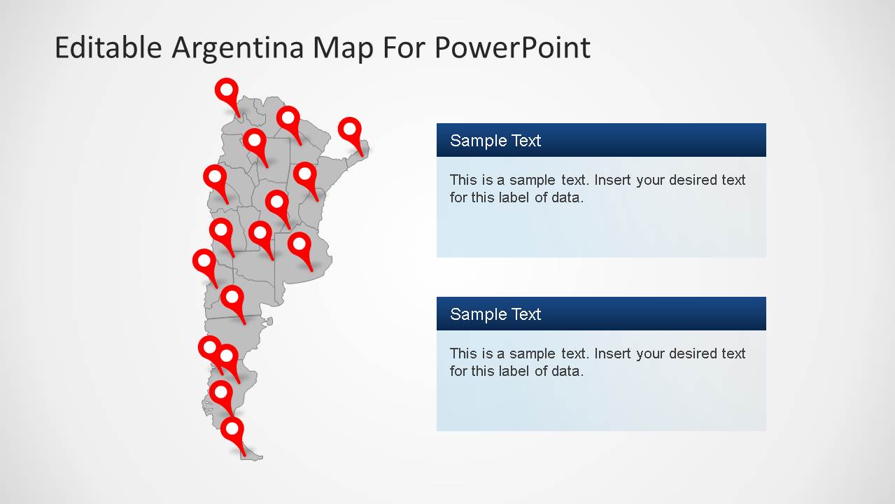
- A government or NGO presenter can use the Buenos Aires callout and gray map with pins to summarize program locations, field offices, or service areas.
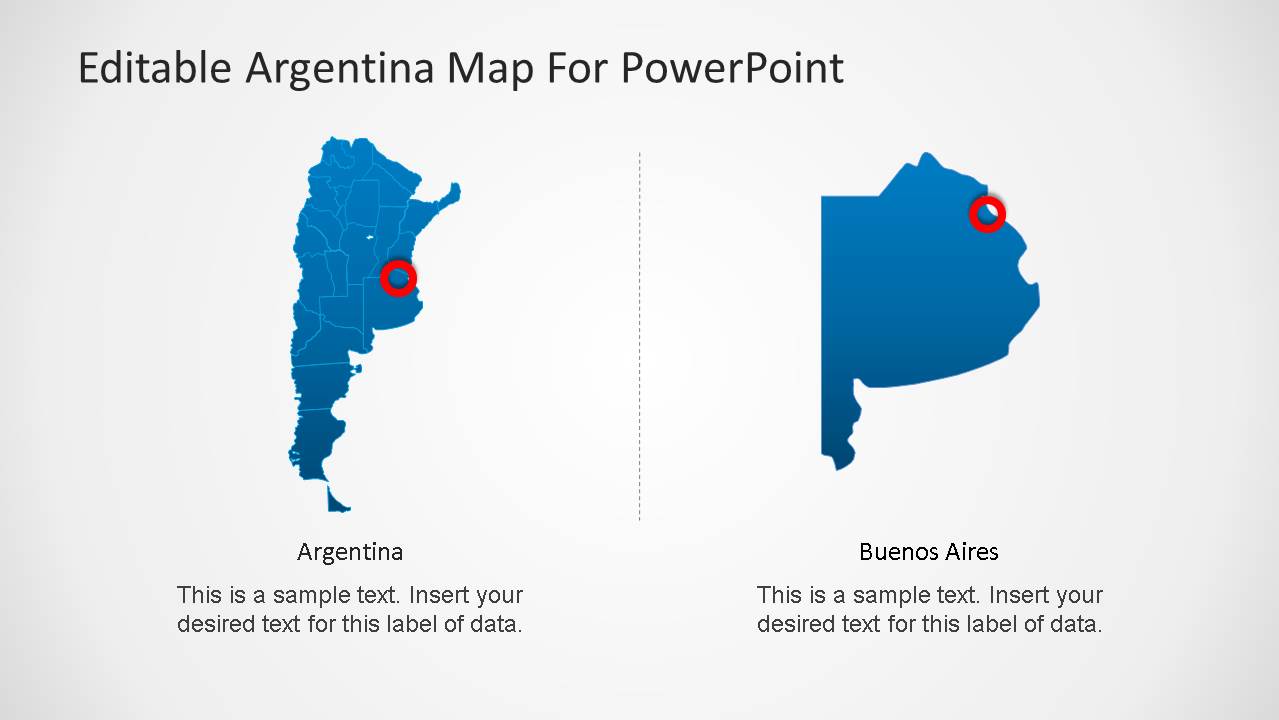
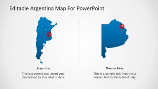
- A consultant can use the side-by-side Argentina and Buenos Aires detail slide to compare national context with a focused metropolitan or regional analysis.
Features
- 100% editable presentation template
- Compatible with Microsoft PowerPoint and Google Slides
- 16:9 aspect ratio slides
- Scalable vector shapes, icons and illustrations
- AI-Ready for Microsoft Copilot and Claude
- Instant access and download
Frequently asked questions
Q: How should a presenter structure a short Argentina briefing with this template?
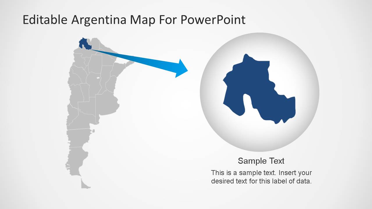
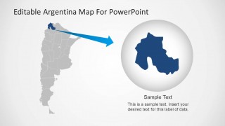
A: Start with the full Argentina map to orient the audience, then move to pin marker slides for locations, offices, or destinations. Use the Buenos Aires callout when one city needs special attention, and reserve the zoom-style slide for the most important region. This keeps the message geographic first, then specific.
Q: Who is this Argentina map template best suited for?
A: This template fits presenters who need to explain where activity happens in Argentina: consultants showing market coverage, teachers introducing the country, travel teams mapping destinations, or public-sector teams reporting program locations. It works best when the audience needs spatial context before details, not when the focus is numeric analysis.
Q: Why do the pin markers, flag symbols, and zoom slide help communication?
A: The red pins act as attention anchors on the blue and gray maps, so the audience can quickly see priority locations. The flag graphics reinforce national context without adding text. The zoom metaphor on the final slide signals a shift from country-level orientation to a closer regional explanation.

Argentina Map Template for PowerPoint
8-slide Argentina map presentation template with editable country maps, flag graphics, and location markers
This 8-slide map presentation template presents Argentina with editable country maps, flag graphics, GPS pin markers, Buenos Aires callouts, comparison views, and zoom-style regional highlights. It is built for country briefings, market overviews, education, travel, and regional reporting in Microsoft PowerPoint and Google Slides.
- Category
- Maps
- Rating


 Loading...
- Aspect ratio
- 16:9, 4:3
- Item ID
- 6389-01
- Colors
 Microsoft PowerPoint
  Microsoft Copilot
  Claude for PowerPoint
 Other formats supported
Subscribe today and get immediate
access to download our PowerPoint templates.