Editable Mexico Map Template for PowerPoint. This PowerPoint Template provides and editable map for Mexico with all administrative districts laid out in the form of customizable sub-maps.
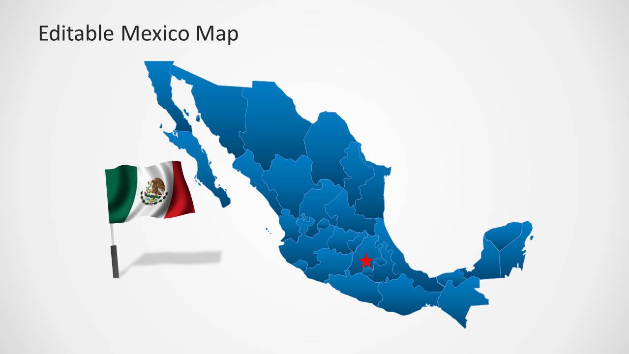
The customizable sub-maps in this template include maps for Morelos, Nayarit, Nuevo León, Oaxaca, Puebla, Querétaro, Quintana Roo, San Luis Potosí, Sinaloa, Sonora, Tabasco, Tamaulipas, Tlaxcala, Veracruz, Yucatán and Zacatecas.
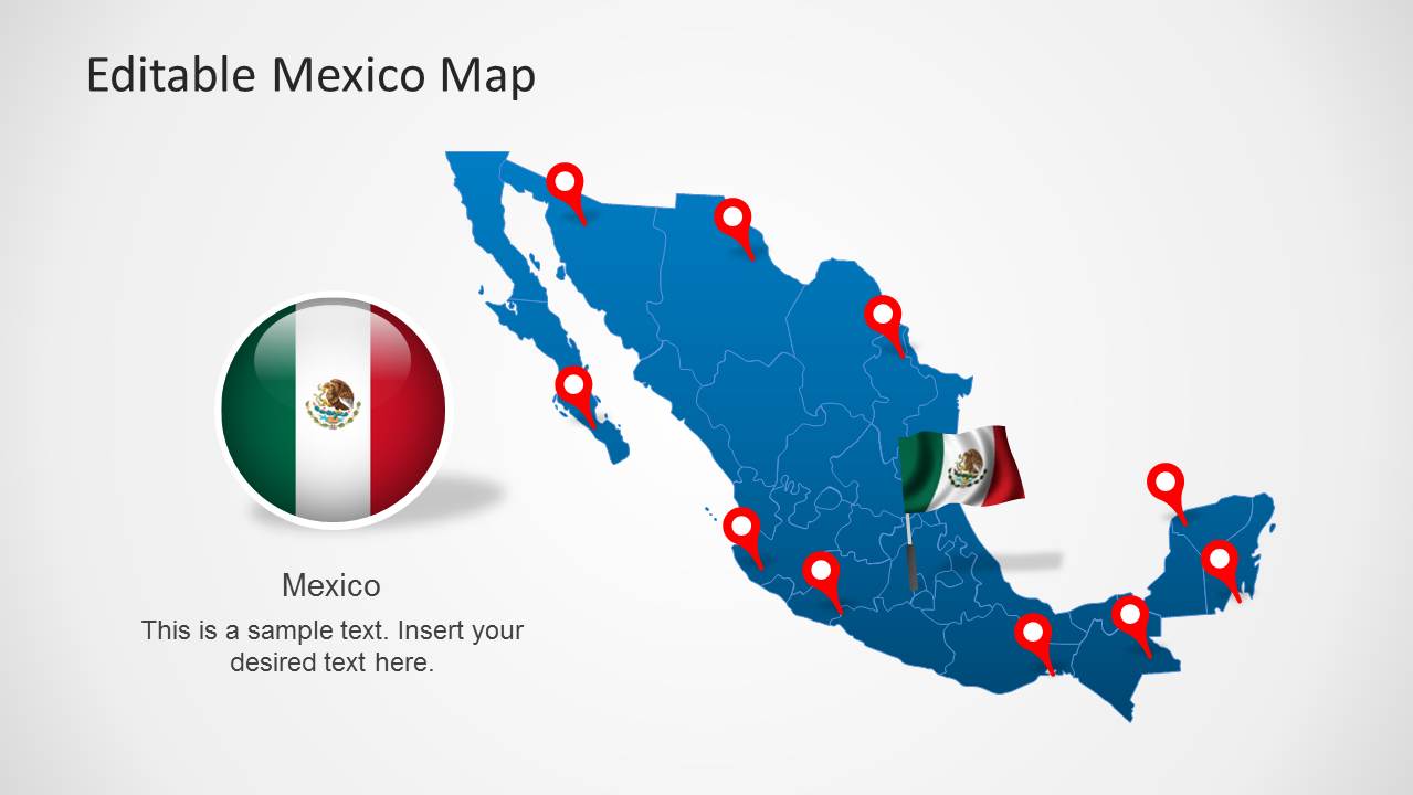
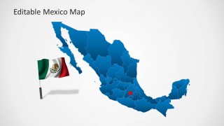
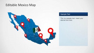
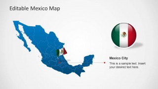
The template also features a flag of Mexico and highlights Mexico City for the convenience of presenters. Furthermore, you can also mark individual areas using movable GPS marker icons provided within sample slides.
What’s inside this template
Example presentation scenarios
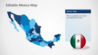
- A market analyst can present expansion priorities by using the choropleth-style state map to compare Mexican regions and the text panel to explain selection criteria.
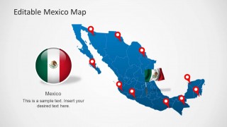
- A logistics manager can show facility locations, routes, or service coverage by placing red GPS markers on the national map and using the right-side notes to summarize operational impact.
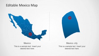
- A consultant can brief executives on Mexico City as a strategic hub by using the dedicated Mexico City callout layout and the side-by-side locator slide.
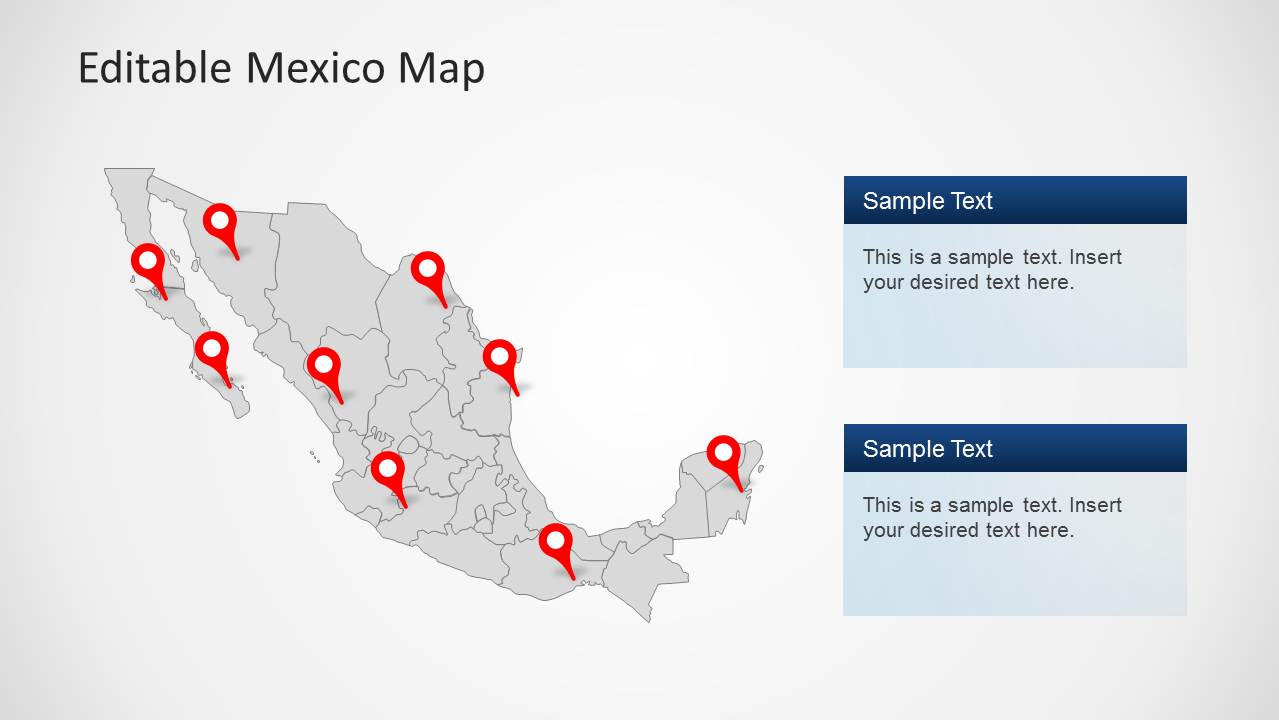
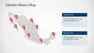
- A nonprofit or public-sector presenter can mark program sites across Mexico with the gray locator map and use the stacked text boxes to describe regional initiatives.
Features
- 100% editable presentation template
- Compatible with Microsoft PowerPoint and Google Slides
- 16:9 aspect ratio slides
- Scalable vector shapes, icons and illustrations
- AI-Ready for Microsoft Copilot and Claude
- Instant access and download
Frequently asked questions
Q: How should a presenter build a clear geographic message with this Mexico map template?
A: Start with the full Mexico map to orient the audience, then use markers only for the locations that matter to the decision. Move to the state-shaded map for regional comparison, and reserve the Mexico City callout for a specific hub, risk, or opportunity. Keep each map slide focused on one geographic question.
Q: Who is this template best suited for, and what kinds of decisions does it support?
A: This template is best for analysts, consultants, sales planners, logistics teams, and public-sector presenters who need to explain where activity happens in Mexico. The pinned maps support site selection, coverage reviews, expansion planning, and program reporting. It works well when location context matters more than detailed numerical analysis.
Q: Why do the marker, flag, and zoom layouts help communicate Mexico-focused information?
A: The red GPS pins create immediate visual priority against the blue and gray maps, while the flag elements reinforce country context without needing extra explanation. The zoomed regional layout and Mexico City callout help the audience move from national context to a specific place, which reduces ambiguity in location-based discussions.





Editable Mexico Map Template for PowerPoint
8-slide Mexico map presentation template with state regions, markers, and Mexico City callouts
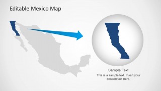
This 8-slide Mexico map presentation template provides editable 16:9 map layouts for Microsoft PowerPoint and Google Slides. It includes a pinned national map, choropleth-style state map, Mexico City callout, gray locator map, and zoomed regional highlight. It is intended for geographic, market, logistics, and public-sector presentations.
- Category
- Maps
- Rating


 Loading...
- Aspect ratio
- 16:9
- Item ID
- 6282-01
- Colors
 Microsoft PowerPoint
  Microsoft Copilot
  Claude for PowerPoint
 Other formats supported
Subscribe today and get immediate
access to download our PowerPoint templates.