Venezuela Map Template for PowerPoint is a presentation containing outline and political maps of the Bolivarian Republic of Venezuela. It provides slides with Venezuela’s map shape created as a composite of independent states. Each state is an individual PowerPoint object, enabling the customization and reuse in different presentations.
This presentation template with map of Venezuela can be used to create presentations related to doing cross-border businesses with Venezuela companies.
What’s inside this template
Example presentation scenarios
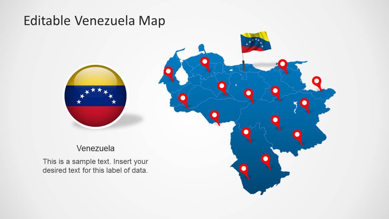
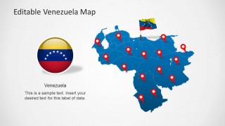
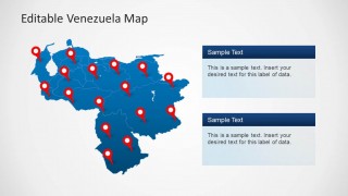
- A market analyst can present Venezuela expansion coverage by using the full-country political maps and red location pins to show target regions or office locations.
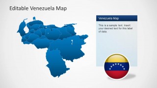
- A logistics planner can explain distribution routes or service areas by pairing the blue Venezuela map with callout panels that summarize operations by region.
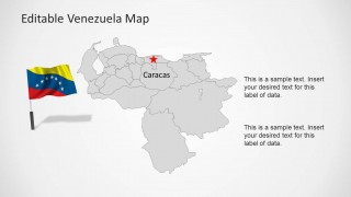
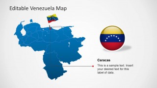
- An educator can teach Venezuela geography by using the gray state-boundary map, flag graphics, and Caracas label to connect national identity with place recognition.
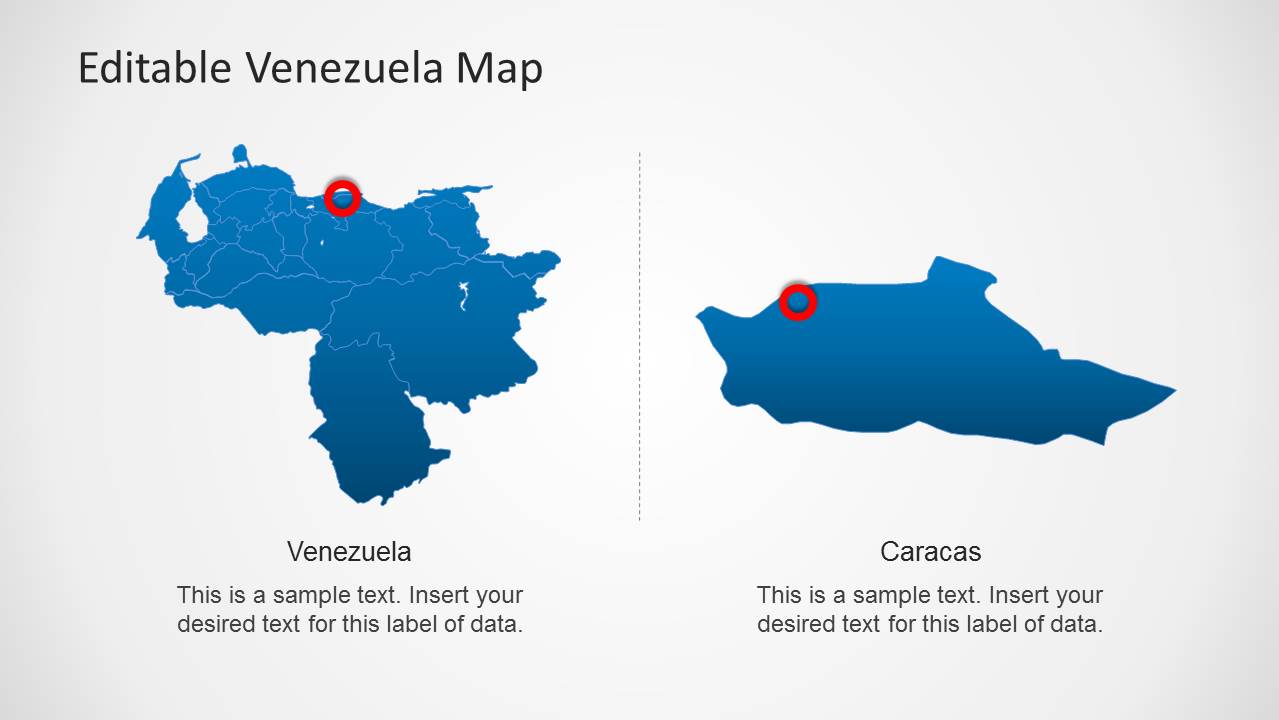
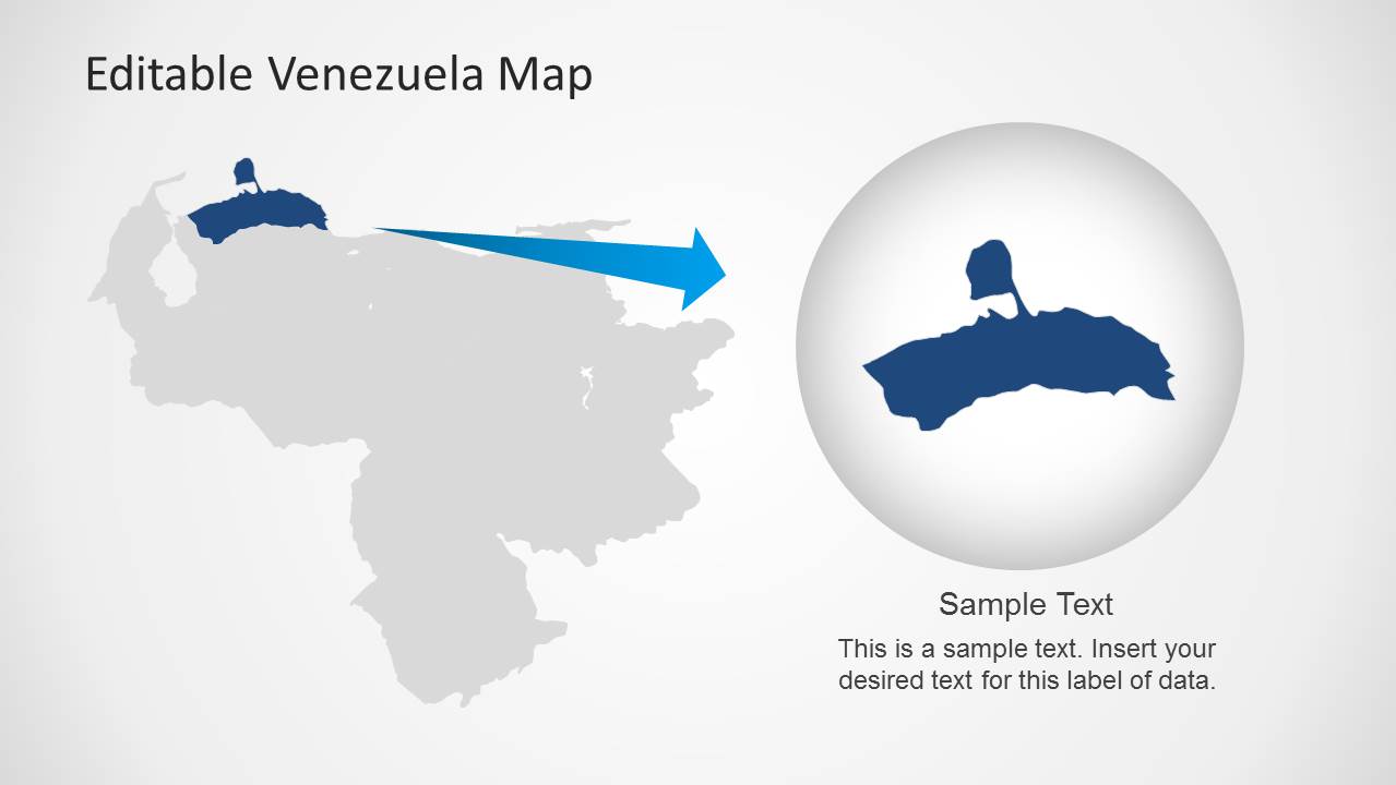
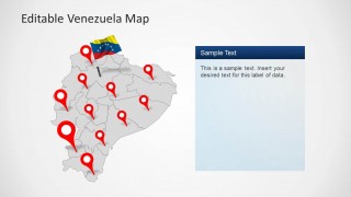
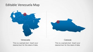
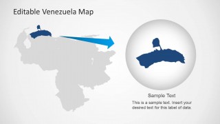
- A consultant can brief executives on regional opportunities by using the Caracas callout and zoom layout to move from national context to a specific area of interest.
Features
- 100% editable presentation template
- Compatible with Microsoft PowerPoint and Google Slides
- Scalable vector shapes, icons and illustrations
- AI-Ready for Microsoft Copilot and Claude
- Instant access and download
Frequently asked questions
Q: How should a presenter organize a Venezuela briefing with these map slides?
A: Start with the full-country map to orient the audience, then add location pins only where they support the message. Use the Caracas callout slide for capital-city context, and use the zoom slide when the story needs a closer regional focus. Keep text panels short so the map remains the main evidence.
Q: Who benefits most from using this Venezuela map template?
A: This template fits presenters who need to discuss where things are happening in Venezuela: consultants explaining market coverage, operations teams showing locations, educators teaching geography, or public-sector teams reporting regional activity. It is strongest when the audience needs spatial understanding before making decisions or learning details.
Q: Why do the pins, flag elements, and zoom metaphor help the message?
A: The pins turn a country map into an action map by directing attention to specific places. The flag elements establish national context quickly, while the circular zoom metaphor on the final slide signals that the presenter is moving from broad geography to a focused regional explanation.


Venezuela Map Template for PowerPoint
8-slide Venezuela map presentation template with political maps, location pins, and Caracas callouts
Venezuela Map Template for PowerPoint is an 8-slide map presentation template with editable Venezuela political maps, regional outlines, location pins, a Caracas marker, flag graphics, and text callout panels. It is built for business, geography, market entry, logistics, and public-sector presentations that need state-level Venezuela visuals in PowerPoint.


 Loading...
 Microsoft PowerPoint
  Microsoft Copilot
  Claude for PowerPoint
 Other formats supported
Subscribe today and get immediate
access to download our PowerPoint templates.