Asia Maps PowerPoint Templates
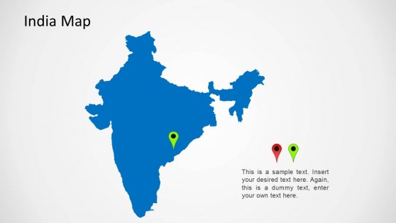
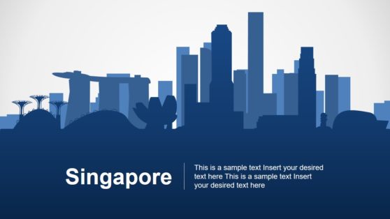
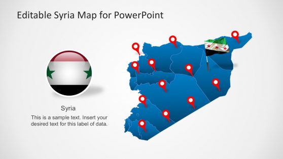
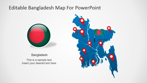
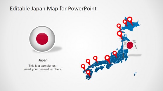
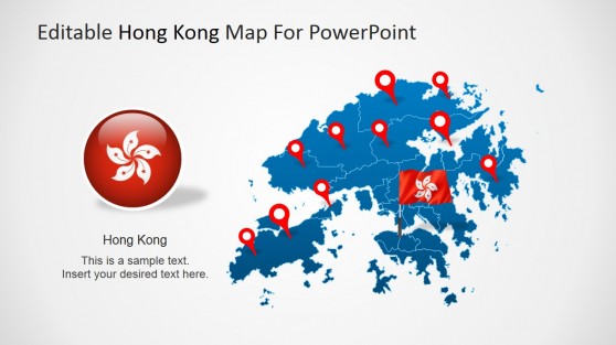
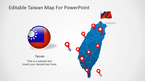
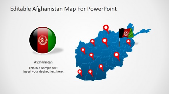
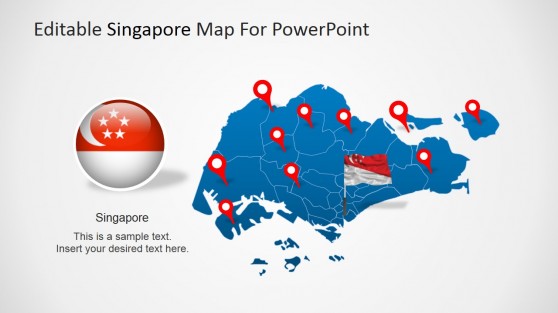
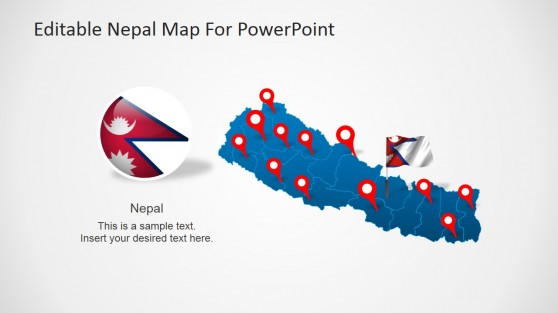
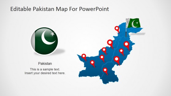
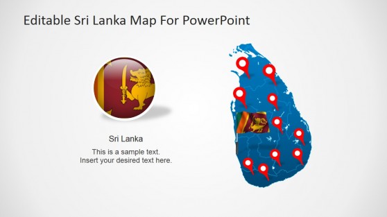
Download Asia Maps PowerPoint Templates for creating presentations with Asia’s countries and territories. Each maps contains slides with outlines and political maps. Each country component is created using simple individual PowerPoint objects, enabling maximum flexibility.
Featured Templates
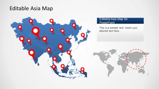
Asia Map Template for PowerPoint
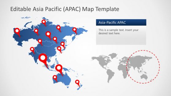
Editable Asia Pacific APAC Map for PowerPoint
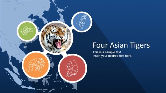
Four Asian Tigers PowerPoint Template
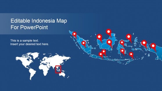
Editable Indonesia PowerPoint Map
Latest Templates
Asia, the largest and most populous continent, holds significant geopolitical, economic, and cultural importance in today’s global landscape. Presentations about Asia often need to convey complex data, trends, and insights effectively to diverse audiences. A great way to visually communicate geographical, economic, or political information is by using an Asia map PowerPoint template. These map of Asia templates are versatile and essential for anyone presenting information in a clean, professional, and engaging format.
Why Use Asia Map PowerPoint Templates?
There are several reasons why using Asia map PPT can significantly enhance the quality of your presentation. Maps help visually present geographic, economic, and demographic data, making them indispensable tools for business, education, and government sectors.
Effective Visualization of Geographical Data
The primary advantage of using an Asia PPT template is that it provides a clear and compelling visual representation of geographic data. Whether you’re presenting about business expansion, political issues, population distribution, or natural resources, a map of Asia template allows your audience to grasp the spatial relationships between different regions or countries immediately.
For instance, if you are discussing market penetration across the Asia-Pacific region, using an APAC map for PowerPoint can help visualize which countries show the strongest growth. The map can be color-coded or annotated to highlight key trends, making the presentation more informative and easier to follow.
Customizable and Editable
Customization is handy for corporate or educational presentations where branding or thematic consistency is important. With an editable map of Asia, you can adjust the size, colors, labels, and borders to meet the specific needs of your presentation.
If your focus is on Southeast Asia, you can emphasize that area of the map by highlighting those countries while dimming the rest. This capability ensures that your presentation remains focused and aligned with your core message.
Time-Saving and Efficient
Creating a map from scratch in PowerPoint can be time-consuming and challenging. Asia maps for PPT save you time by providing a ready-made, professional-looking map that you can quickly adapt for your specific presentation. These templates typically come with predefined regions, accurate borders, and editable labels, allowing you to focus on your content rather than spending time creating the map itself.
A free editable Asia map PowerPoint allows you to insert data and information directly into the map, making it easier to illustrate key points without searching for external graphics or charts. This time-saving feature is invaluable for business professionals, educators, or government officials who often have tight deadlines.
How do I get an Asia Map in PowerPoint?
Download an Asia map template from SlideModel or use PowerPoint’s built-in Insert > Map feature, if available, to select and customize the Asia region.
Is there a world map in PowerPoint?
Yes, PowerPoint offers a world map option under Insert > Map, or you can find pre-designed world map templates at SlideModel.
How do you insert a country in PowerPoint?
Use an editable map of Asia or download an individual country image, then insert it using Insert > Pictures and customize as needed.
