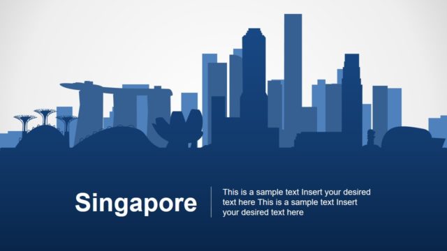
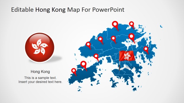
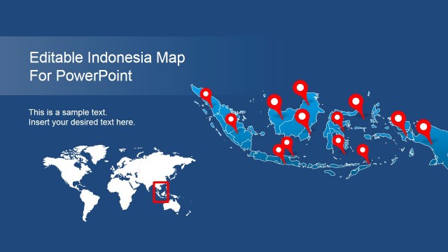
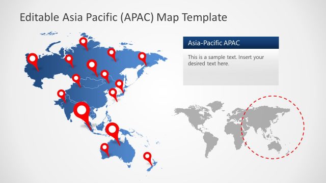
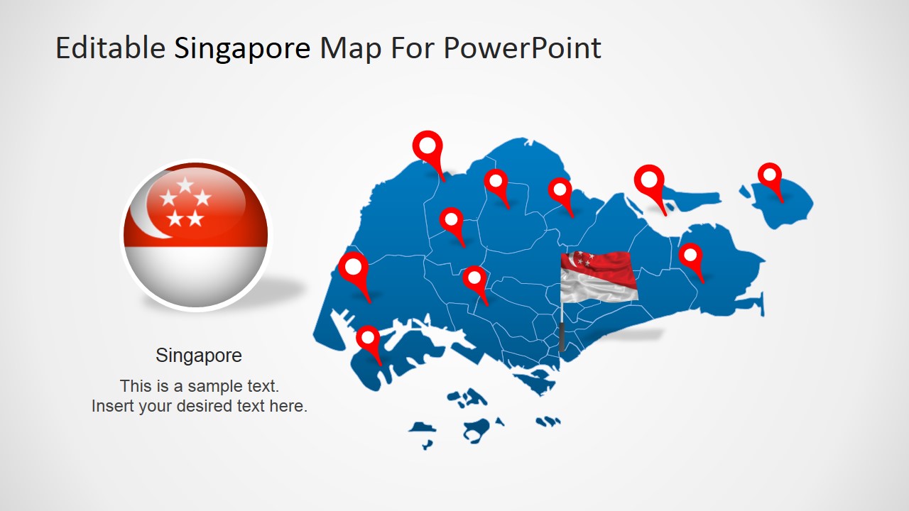
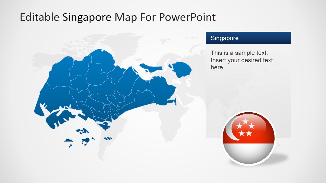
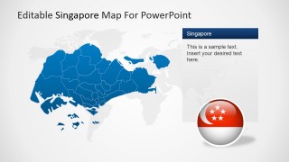
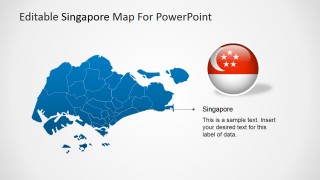
Editable Singapore PowerPoint Map is a professional presentation with several political outline maps of the Republic of Singapore. Each slide provides 100% editable PowerPoint Shapes that compose the Singapore Map states. Professional Icons decorates the map for useful marking. The clipart icons can be edited by the user and used in existing presentations. The flexibility of this template allows the user to utilize the maps and its components in different presentations, and edit their appearance according to the required theme.
The Republic of Singapore is an island state, located in the South East of Asia. At the North lays the Malaysian Peninsula, separated by the straits of Johor and at the South lays Indonesia separated by the Singapore strait. Singapore is well known for being one of the major commercial hubs in the world, with a highly mature financial industry and one of the most busiest ports. For its fast developing economy, Singapore is known as one of the Four Asian Tigers, group which joins with Hong Kong, South Korea and Taiwan.
Create impressive Geography, Economy, or Truisms presentations with this modern and flexible Editable Singapore PowerPoint Map. Engage your audience with professional graphics that appeal to global audiences.
What’s inside this template
Example presentation scenarios
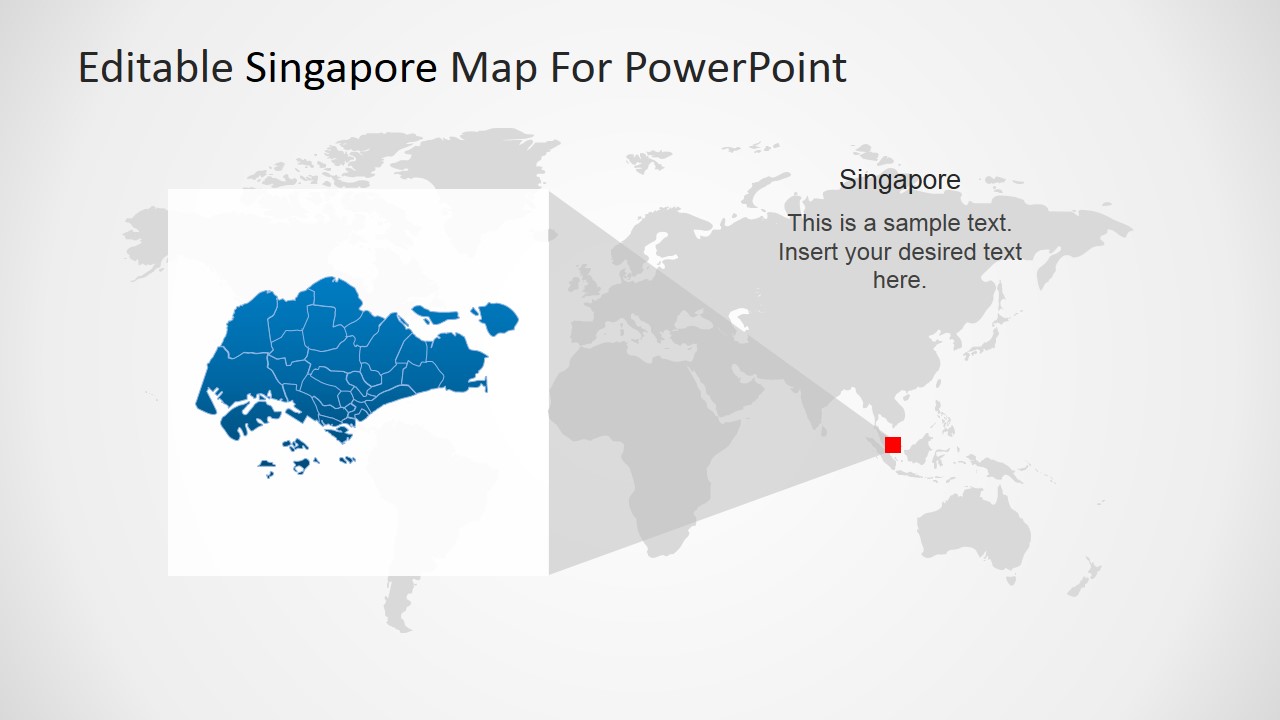
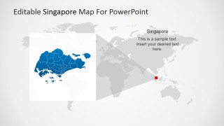
- A strategy consultant can brief executives on a Singapore market entry plan using the world locator map to establish regional context and the pin marker map to show priority districts.
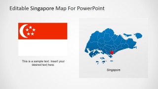
- A finance team can explain Singapore's role as a regional hub by pairing the national flag slide with the large labeled map and editable text callouts.
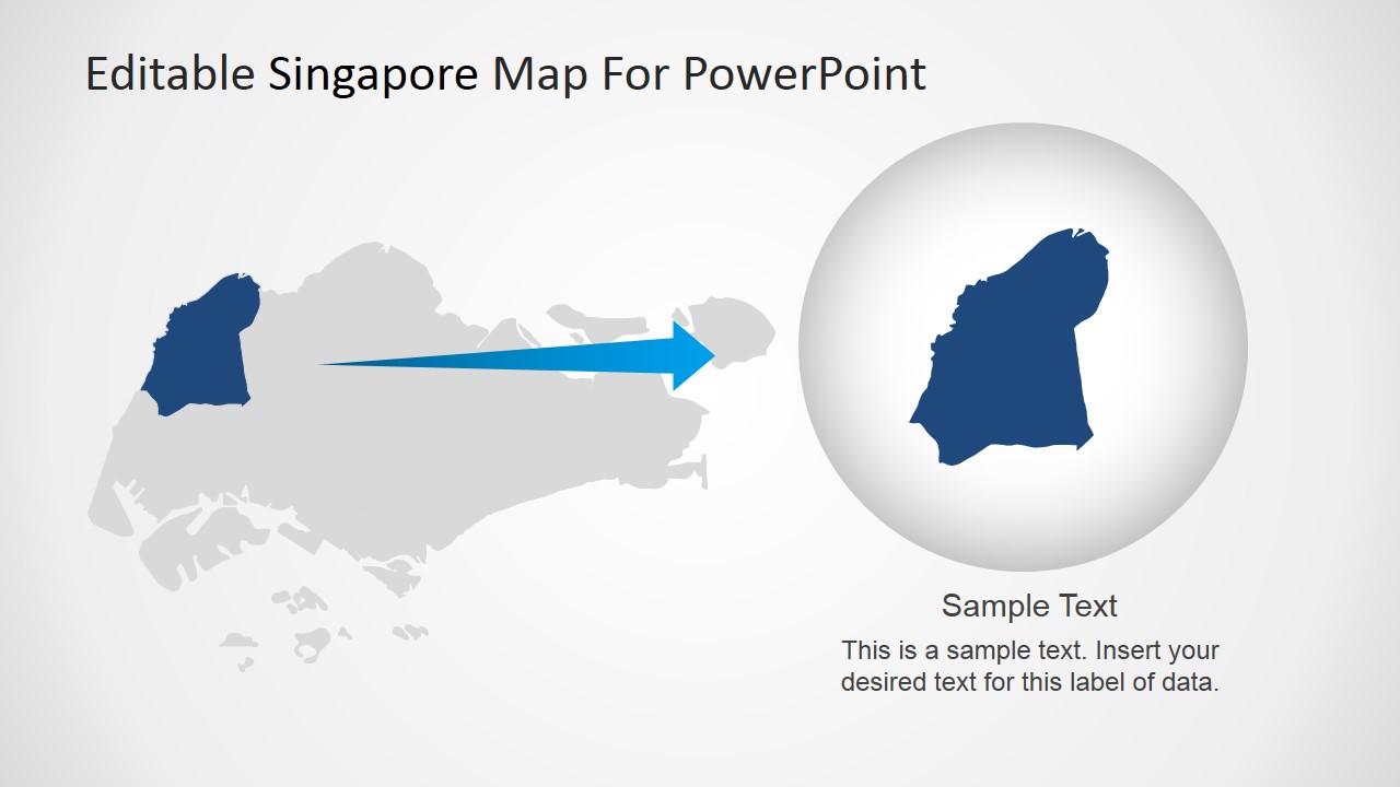
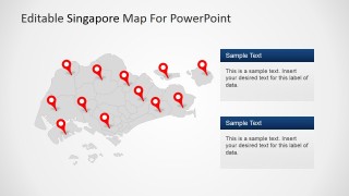
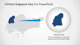
- A logistics or port operations presenter can map facility locations, trade routes, or service coverage using the multi-pin Singapore map and the zoomed area callout.
- An educator can introduce Singapore geography by using the political outline map, locator view, and highlighted district slide to move from country context to local detail.
Features
- 100% editable presentation template
- Compatible with Microsoft PowerPoint and Google Slides
- 16:9 aspect ratio slides
- Scalable vector shapes, icons and illustrations
- AI-Ready for Microsoft Copilot and Claude
- Instant access and download
Frequently asked questions
Q: How should I structure a short Singapore geography or business overview with this template?
A: Start with the world locator slide to orient the audience, then move to the full Singapore political outline map for local context. Use the pin marker slide for key sites or priorities, and finish with the zoomed district callout when one area needs closer explanation. This order prevents the audience from seeing isolated locations without geographic context.
Q: Who benefits most from presenting with this Singapore map template?
A: This template fits presenters who need to explain where activity happens in Singapore, not just describe it in text. Strategy teams, finance presenters, logistics groups, educators, and government briefers can use the locator map, flag slide, and pin layouts to connect regional importance with specific local areas.
Q: Why do the locator, pin, and zoom metaphors help the message?
A: The deck uses a clear geographic progression: locate Singapore globally, mark important places, then magnify one selected area. The pin metaphor signals points of interest, while the zoom callout directs attention to detail without losing the country shape. This makes spatial relationships easier to follow during a business or teaching explanation.
You may also like:

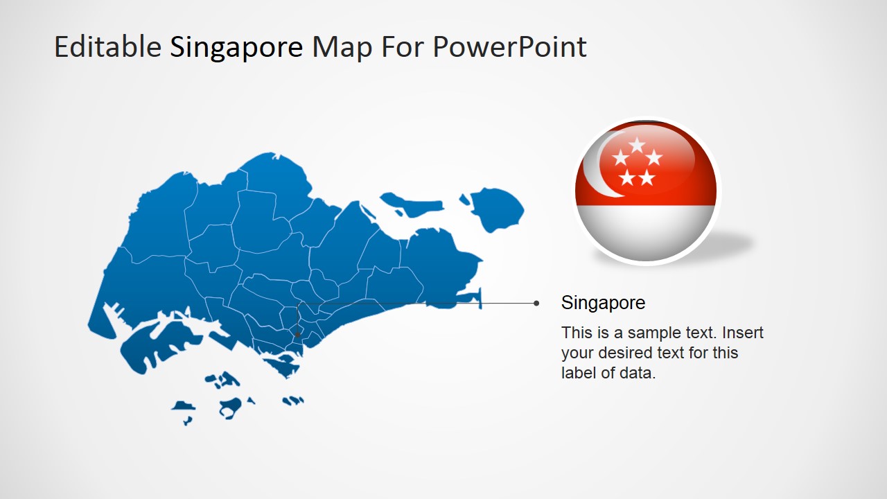
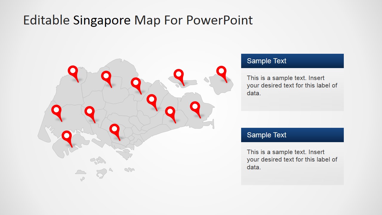
Editable Singapore PowerPoint Map
7-slide presentation template with editable Singapore maps, locator views, pin markers, and regional callouts
Editable Singapore PowerPoint Map is a 7-slide map template for presenting Singapore locations, regions, and geographic context. It includes political outline maps, a world locator map, pin marker maps, flag treatments, and zoomed area callouts. Built for business, finance, trade, and regional presentations in Microsoft PowerPoint and Google Slides.
- Category
- Maps
- Rating


 Loading...
- Aspect ratio
- 16:9, 4:3
- Item ID
- 6801-01
- Colors
 Microsoft PowerPoint
  Microsoft Copilot
  Claude for PowerPoint
 Other formats supported
Subscribe today and get immediate
access to download our PowerPoint templates.