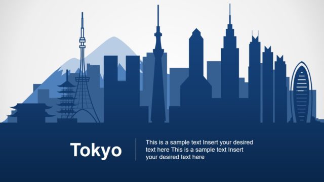
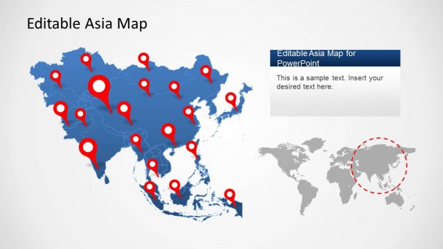
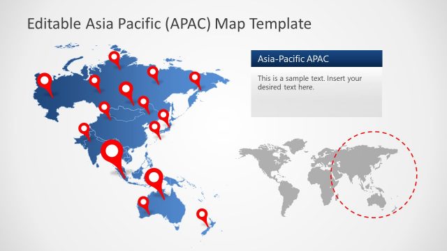
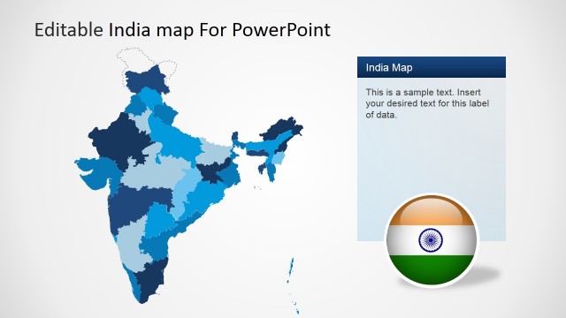
This editable map of Japan Template for PowerPoint contains a collection of creative slide designs with Japan maps that you can use and customize for your presentations. Maps are created with PowerPoint shapes so you can easily isolate each state and change its properties to highlight a particular area and create your own map designs. Use the ungroup shapes feature in PowerPoint to isolate each individual shape and then apply the desired shape effects.
What’s inside this template
Example presentation scenarios
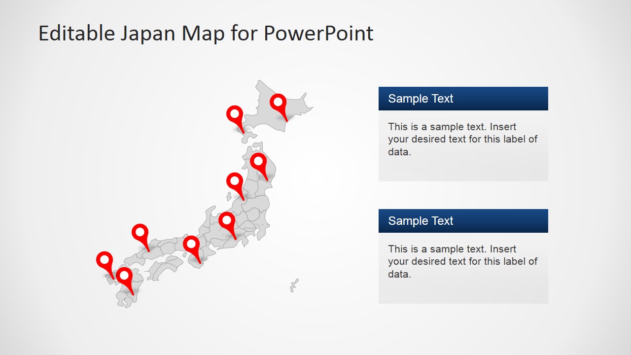
- A market analyst can use the pinned Japan map to show target regions for expansion and explain why specific locations are being prioritized.
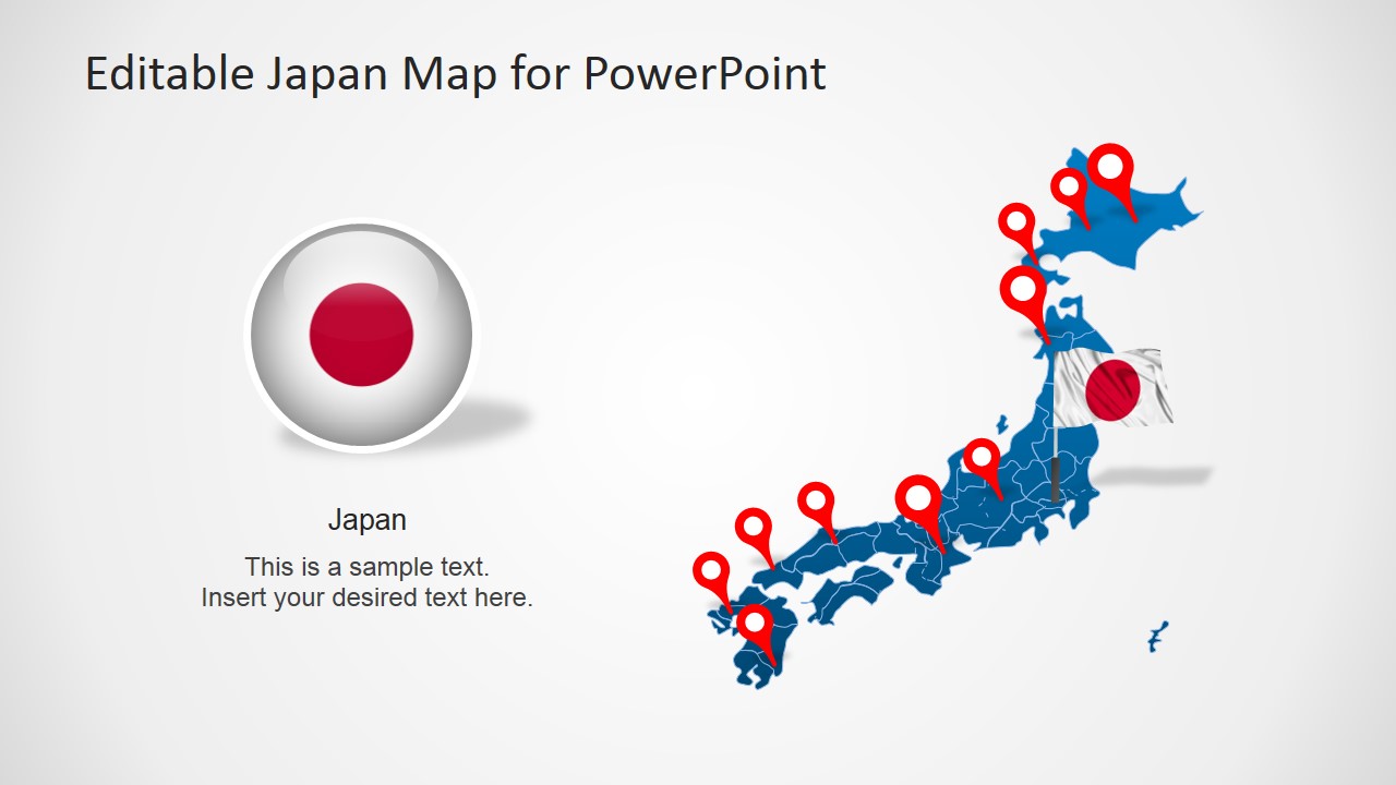
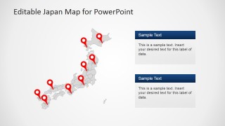
- A sales manager can present territory coverage with the gray map and multiple red pins, then use the text panels to summarize account clusters or branch notes.
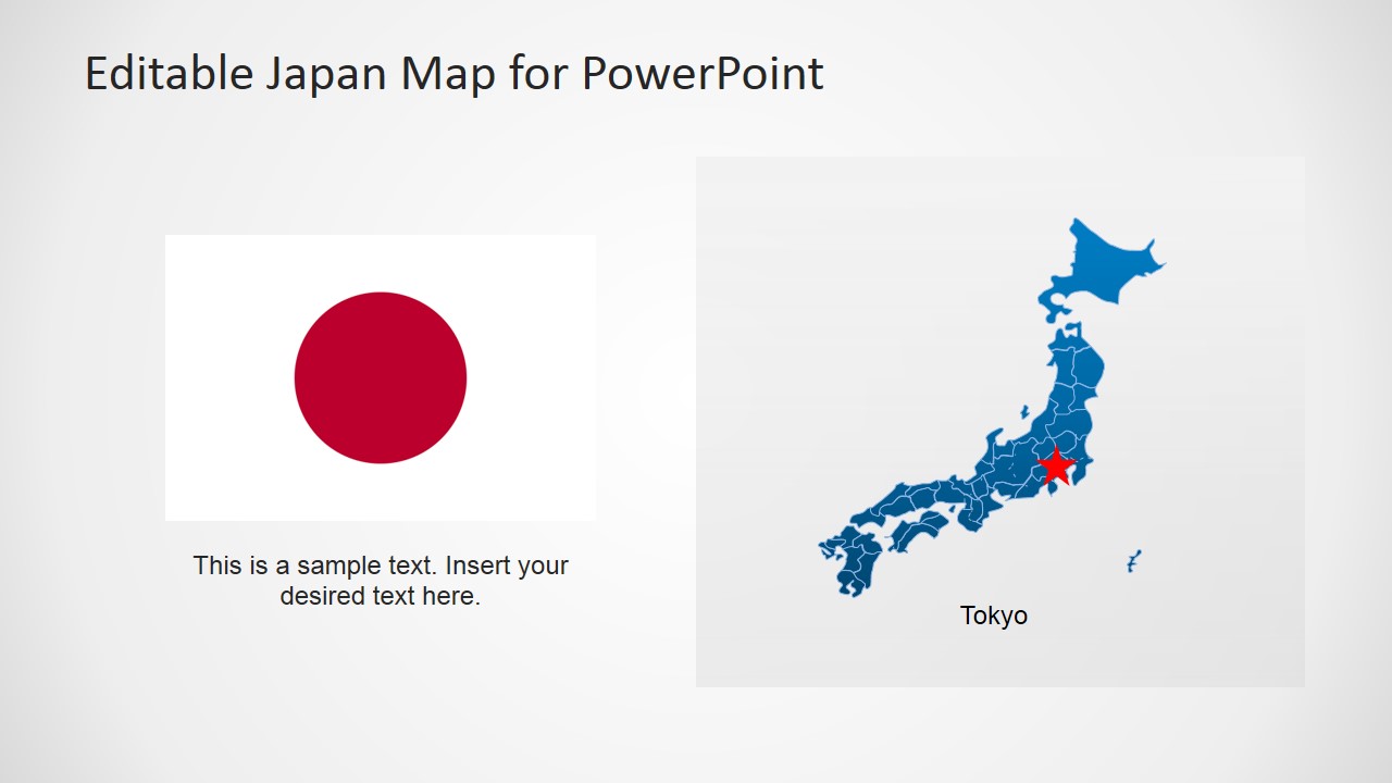
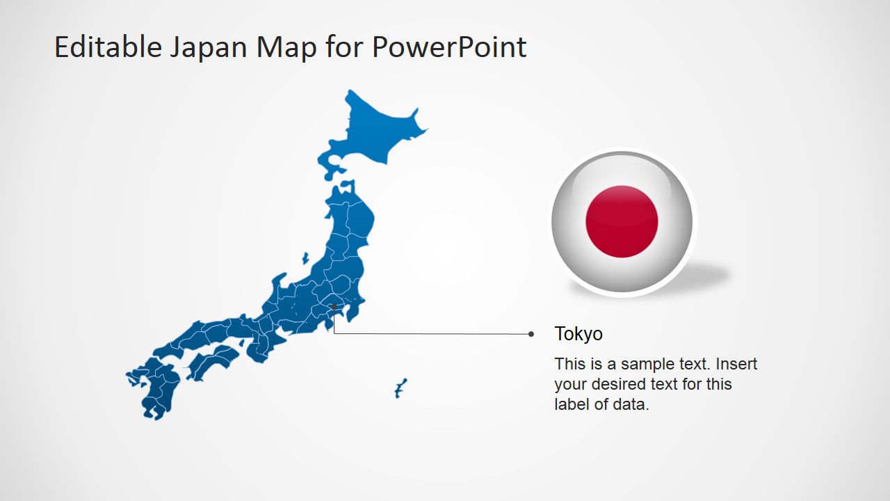
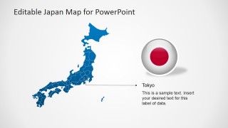
- An educator can use the flag and map layout to introduce Japan, identify Tokyo, and connect country-level facts to a clear geographic reference.
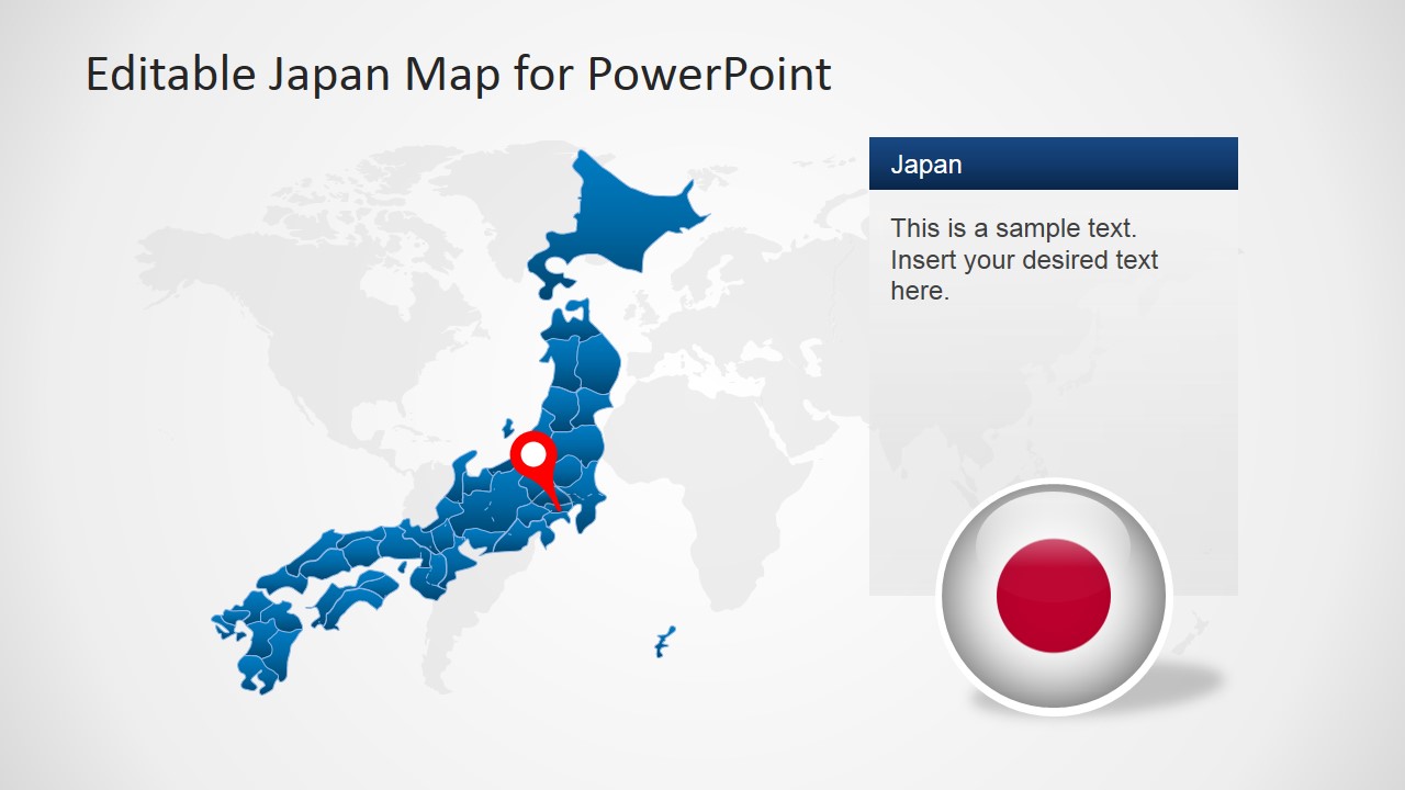
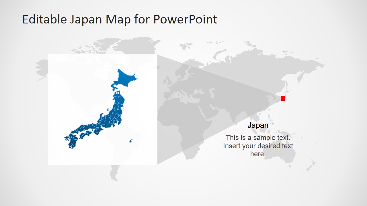
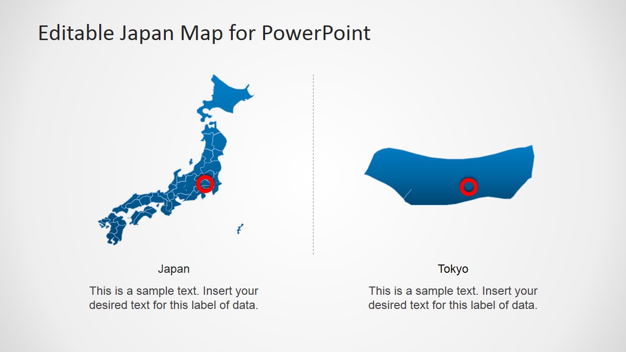
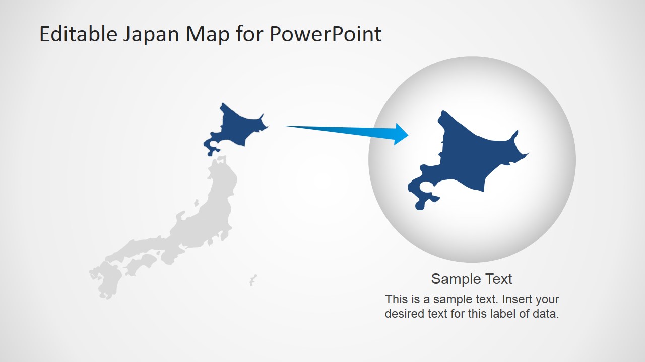
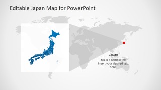
- A consultant can use the world locator view to place Japan in a global strategy discussion before moving into the Tokyo callout and regional zoom slides.
Features
- 100% editable presentation template
- Compatible with Microsoft PowerPoint and Google Slides
- 16:9 aspect ratio slides
- Scalable vector shapes, icons and illustrations
- AI-Ready for Microsoft Copilot and Claude
- Instant access and download
Frequently asked questions
Q: How should I structure a short Japan geography briefing with this template?
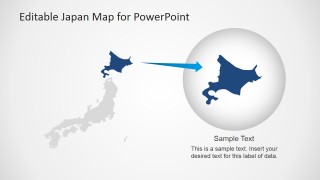
A: Start with the full Japan map to orient the audience, then move to the world locator slide if global context matters. Use the Tokyo callout when the discussion narrows to a capital-city decision, and reserve the regional zoom slide for the final detail. This keeps the audience moving from context to location to action.
Q: Who is this template best suited for?
A: This template fits presenters who need to explain where activity is happening in Japan rather than compare large sets of data. Consultants, educators, sales leaders, travel planners, and regional managers can use the pin maps, flag slides, and Tokyo focus layouts to make location-based information easy to follow.
Q: Why do the pins, flag badges, and zoom shapes help communication?
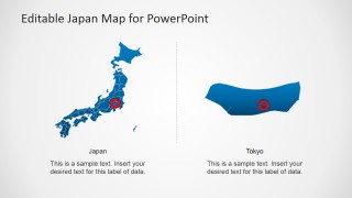
A: The red pins and Tokyo marker create quick visual anchors on a detailed country outline, while the flag badge signals national context without adding extra explanation. The magnified regional shape works as a zoom metaphor, guiding attention from Japan as a whole to the selected area that needs discussion.
Japan Map Template for PowerPoint
8-slide Japan map presentation template with regional pins, Tokyo callouts, and editable flag graphics
Japan Map Template for PowerPoint is an 8-slide editable map presentation template for geographic briefings about Japan. It includes a pinned Japan map, Tokyo locator, world map context view, regional zoom callout, and flag graphics for business, education, travel, or market planning presentations in Microsoft PowerPoint and Google Slides.
- Category
- Maps
- Rating

 Loading...
- Aspect ratio
- 16:9, 4:3
- Item ID
- 6329-01
- Colors
 Microsoft PowerPoint
  Microsoft Copilot
  Claude for PowerPoint
 Other formats supported
Subscribe today and get immediate
access to download our PowerPoint templates.