Nepal PowerPoint Map – Make a striking presentation showcasing Nepal’s beauty with the Nepal PowerPoint Map template. The country is best known for its natural attractions, particularly the tallest peak in the world, Mount Everest. Aside from its famous peaks, it’s also gaining popularity in the tourism industry through its beautiful temples and natural landscapes. Another highlight in Nepal is the Gorkha regiments. Nepal has a long standing good relationship with its neighbors China and India. This relationship gave way to the Gorka’s military position in India. They are military men serving the Indian Army and reside in Nepal. They are well known for courageous winnings of gallantry awards before and after joining the Indian army.
Despite its beauty, the country seems to have a lot of challenges in pushing its economy forward due to its political unrest. Nepal’s government used to be a monarchy system until 1990 when King Birendra converted its system to a parliamentary monarchy to avoid communist activities against absolute monarchy. The peace talk with the Maoist rebels in 2006 lead to another change in the government. The King gave up power and a House of Representatives which consists of the Maoist members was formed. After a year, its government became a federal republic. Afterwards, a president was elected as the head of state in 2008.
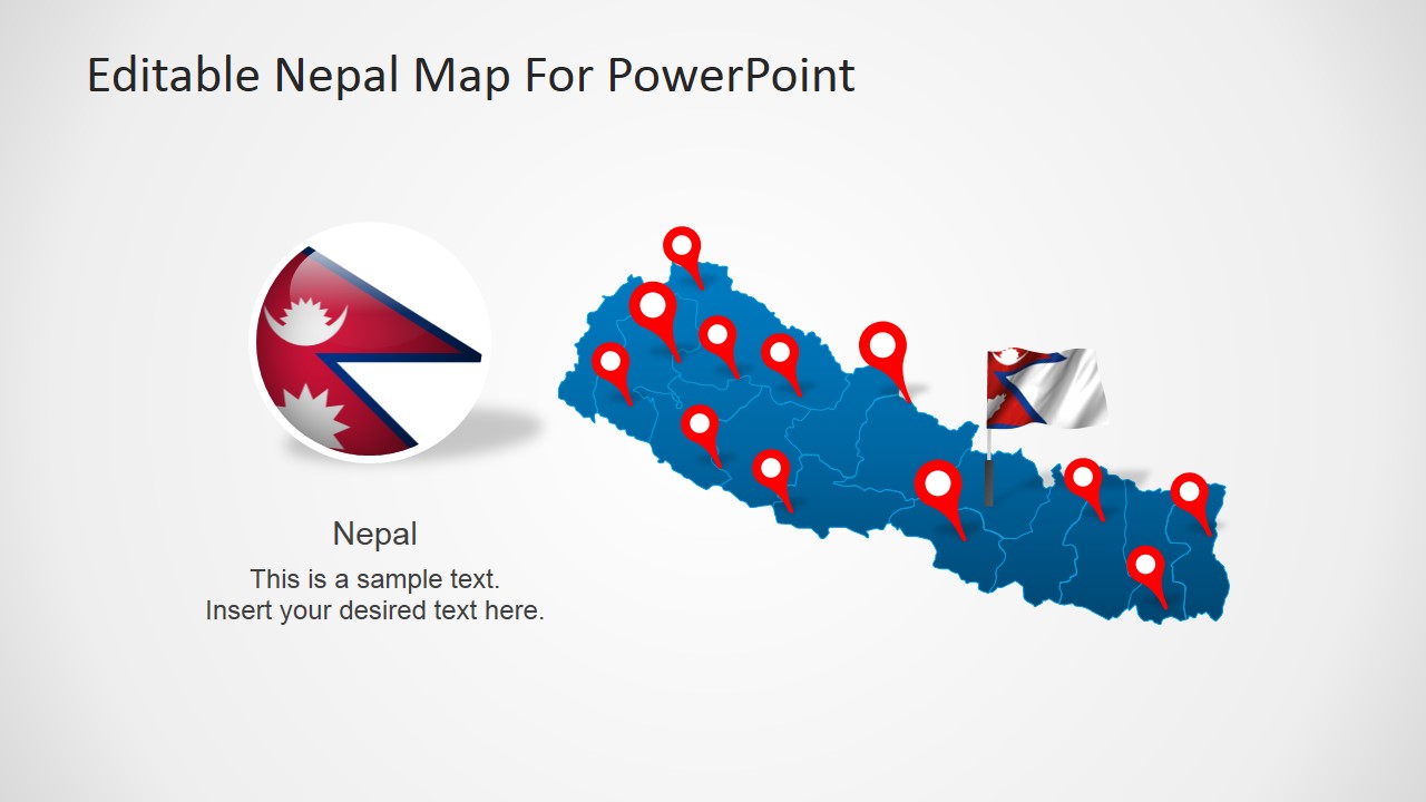
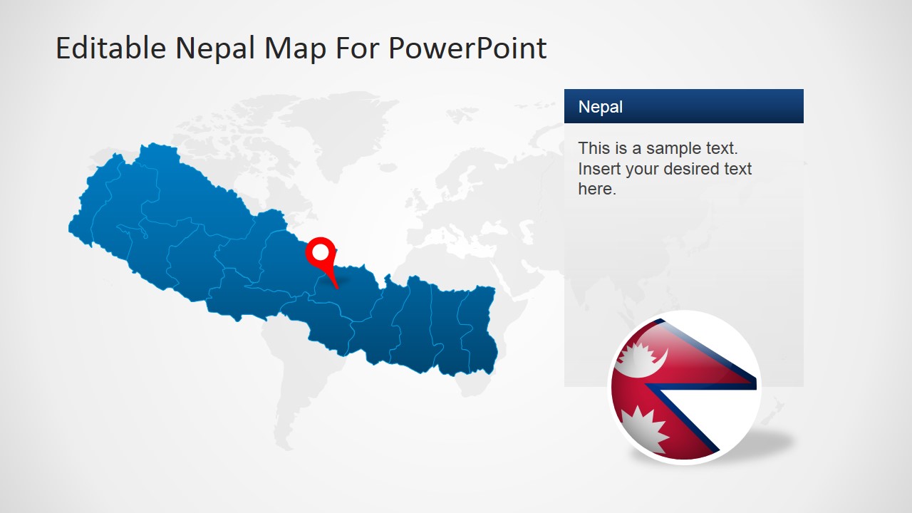
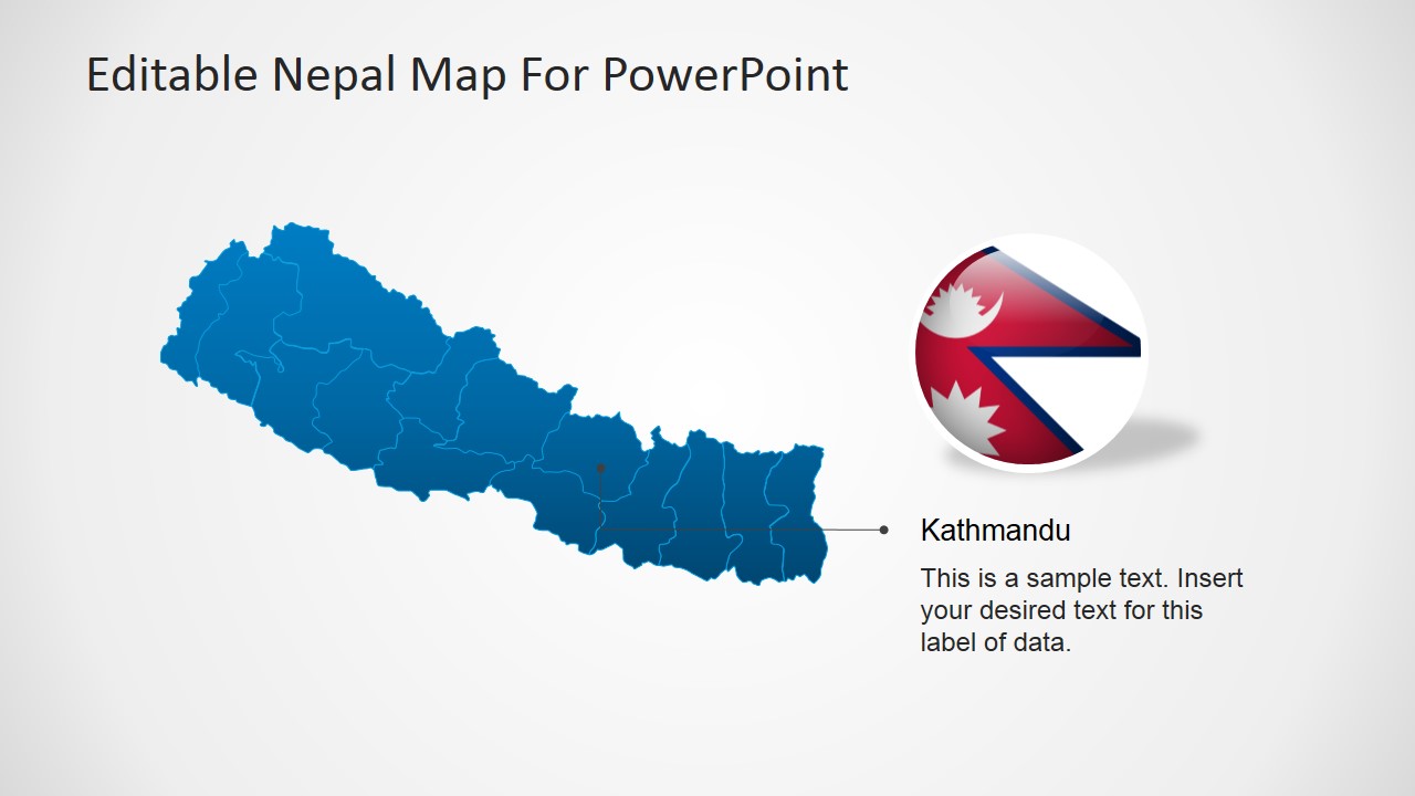
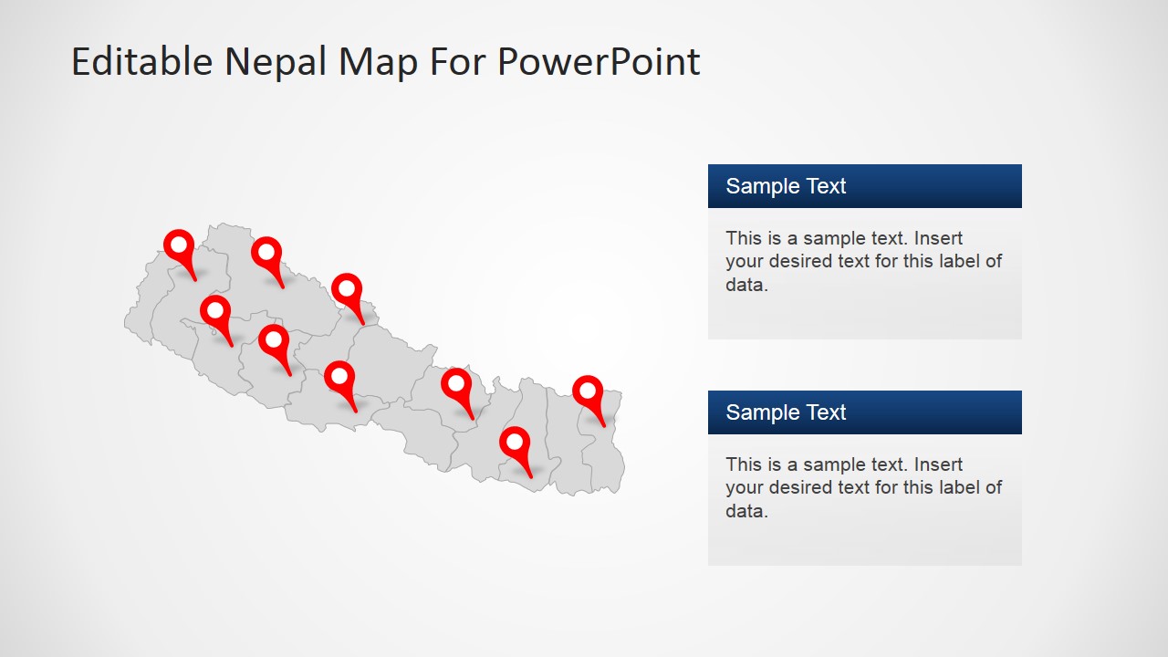
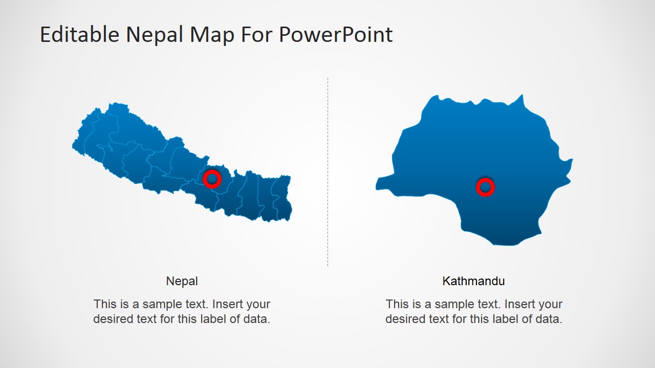
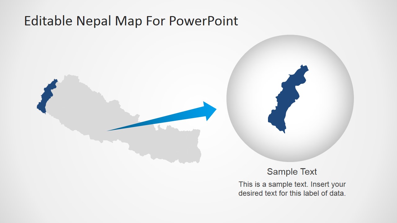
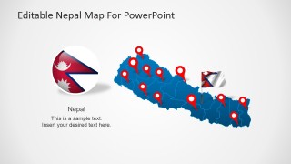
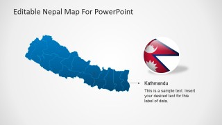
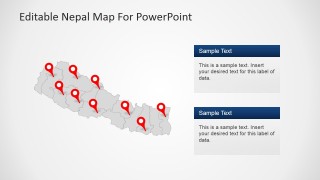
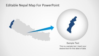
This PowerPoint presentation is great for lectures or seminars on Nepal. The images in the template are all PowerPoint objects that can be used individually in different PowerPoint presentations. The images can have a magnified view on each parts or zones and provinces in the map. There are also balloon pins that are useful in marking the part of the map that’s being discussed. Another feature of this template is the Nepalese flag that can be edited into either a spherical or square image. The design also allocates plenty of spaces for texts and additional information. You can combine this template with images in our PowerPoint diagrams page for an even better presentation.
What’s inside this template
Example presentation scenarios
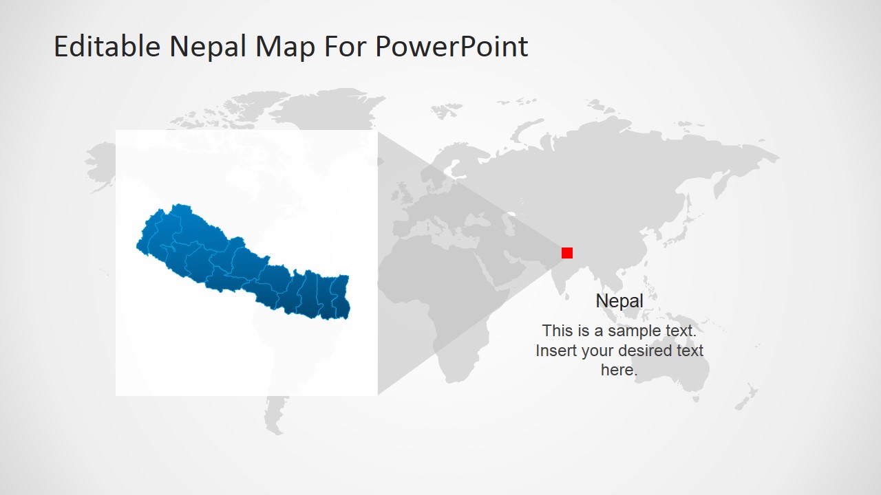
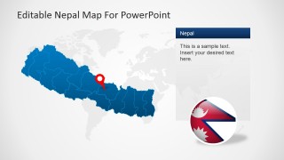
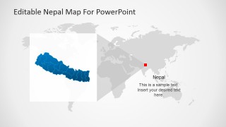
- An educator can explain Nepal's geographic position in South Asia using the Asia locator map, then move to the political subdivision map for a closer country view.
- A tourism presenter can introduce Nepal destinations by placing red pins on the political map and adding brief descriptions in the slide 6 callout panels.
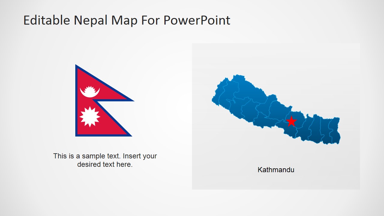
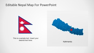
- An NGO program lead can map field locations across Nepal with the pinned country map and use the Kathmandu callout slide to identify a headquarters or project hub.
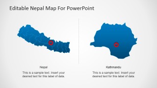
- A business analyst can brief stakeholders on regional operations by using the full-country map, the zoom-in district view, and editable text placeholders for site notes.
Features
- 100% editable presentation template
- Compatible with Microsoft PowerPoint and Google Slides
- 16:9 aspect ratio slides
- Scalable vector shapes, icons and illustrations
- AI-Ready for Microsoft Copilot and Claude
- Instant access and download
Frequently asked questions
Q: How should a presenter structure a short Nepal briefing with this map template?
A: Start with the country overview slide to orient the audience, then use the Asia locator view to show regional context. Move to the pinned political map for locations or sites, and finish with the Kathmandu callout or zoom-in district view. This order helps the audience understand scale before interpreting local details.
Q: Who is this template best suited for, and what message does it communicate well?
A: This template fits educators, tourism planners, NGOs, consultants, and analysts who need to explain where things are in Nepal. It is best for geography lessons, destination introductions, program coverage, or regional briefings where the audience must connect locations, administrative areas, and a specific city such as Kathmandu.
Q: Why do the pins, locator map, and zoom view improve the presentation?
A: The design uses familiar map metaphors: pins signal specific places, the locator map shows regional position, and the zoom view tells the audience where to focus. These visual cues reduce the need for long explanations and make it easier to move from national context to a district or city detail.
Nepal PowerPoint Map
8-slide Nepal map presentation template with political outline, location pins, and Kathmandu callouts
Nepal PowerPoint Map is an 8-slide map presentation template for geographic briefings, lessons, and regional reports. It includes a labeled Nepal outline map, political subdivision maps with location pins, a Kathmandu callout, an Asia locator map, and a zoom-in district view. Slides use editable vector shapes for Microsoft PowerPoint and Google Slides.
- Category
- Maps
- Rating


 Loading...
- Aspect ratio
- 16:9, 4:3
- Item ID
- 6608-01
- Colors
 Microsoft PowerPoint
  Microsoft Copilot
  Claude for PowerPoint
 Other formats supported
Subscribe today and get immediate
access to download our PowerPoint templates.