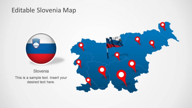
Czech Republic PowerPoint Map – Create professional PowerPoint presentations that involve the Czech Republic with our editable Maps for PowerPoint. The PowerPoint Map template is created with individual PowerPoint shapes that emulate the states of the country. The full country map is created as grouped Shapes of states. This feature allows the users not only to work with the full map, but also with the individual states and regions. Every shapes is created as a vector, allowing the user to fully customize its appearance as color, size and effects, without losing resolution.
PowerPoint Maps are ideal for geographical positioning of important concepts for business. For example, during sales or business presentations, companies describe their offices. If the presenter is describing a company located in Czech republic, every office can be located with the provided icons and placeholders. Another common usage scenario is for referencing target markets. Geographic segmentation is one of the most basic demographic variables used in Marketing. Presenters can locate their target market over the Czech Republic map with charts or diagrams.
The Czech Republic is a nation located in the center of Europe, bordering with Germany, Austria, Slovakia and Poland.
Impress your audience with professional maps that appeals to executives.
What’s inside this template
Example presentation scenarios
- A sales director can show Czech Republic territory coverage by placing customer, branch, or partner locations on the full-country pin map.
- A marketing team can explain geographic segmentation by assigning regions to the shaded map and using the callout panels for audience, demand, or campaign notes.
- A consultant can brief executives on market entry priorities by using the Prague locator, city label map, and zoom detail slide to focus attention on specific areas.
- An operations manager can present service coverage or distribution nodes by marking locations with red pins and adding short explanations in the right-side text panels.
Features
- 100% editable presentation template
- Compatible with Microsoft PowerPoint and Google Slides
- 16:9 aspect ratio slides
- Scalable vector shapes, icons and illustrations
- AI-Ready for Microsoft Copilot and Claude
- Instant access and download
Frequently asked questions
Q: How should a presenter organize a Czech Republic location story with this template?
A: Start with the full-country map to orient the audience, then move to the pin map for known locations or territory coverage. Use the callout panels for the reason each area matters, not for long paragraphs. Finish with the Prague locator or zoom detail when the decision depends on one region or city.
Q: Who is this map template best suited for?
A: It fits presenters who need to make geography part of a business explanation: sales leaders showing coverage, marketers defining target regions, consultants describing expansion, and operations teams mapping service areas. The visible layouts are strongest when the audience must understand where activity happens before discussing priorities or next steps.
Q: Why do the pins, zoom circle, and regional shading help the map communicate faster?
A: The red pins create immediate points of attention, while blue regional shading separates areas without overloading the slide. The zoom circle works as a visual metaphor for focus, helping the presenter move from country-level context to a specific region. This design reduces verbal explanation and makes location hierarchy visible.


Czech Republic PowerPoint Map
8-slide map presentation template for Czech Republic regions, pins, callouts, and location planning
Czech Republic PowerPoint Map is an 8-slide map presentation template for geographic business communication. It includes full-country regional maps, pin location maps, text callout panels, a Prague locator, a city label map, and a zoom detail view. It is built for Microsoft PowerPoint and Google Slides.
- Category
- Maps
- Rating

 Loading...
- Aspect ratio
- 16:9, 4:3
- Item ID
- 0049-01
- Colors
 Microsoft PowerPoint
 Microsoft Copilot
 Claude for PowerPoint
Other formats supported
Subscribe today and get immediate
access to download our PowerPoint templates.