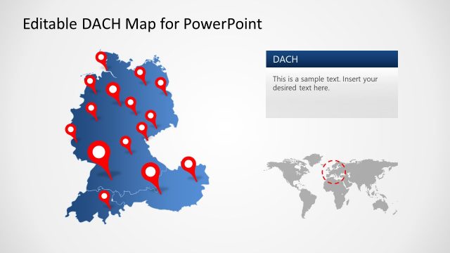
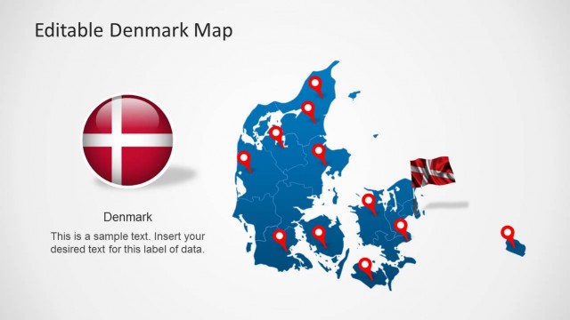
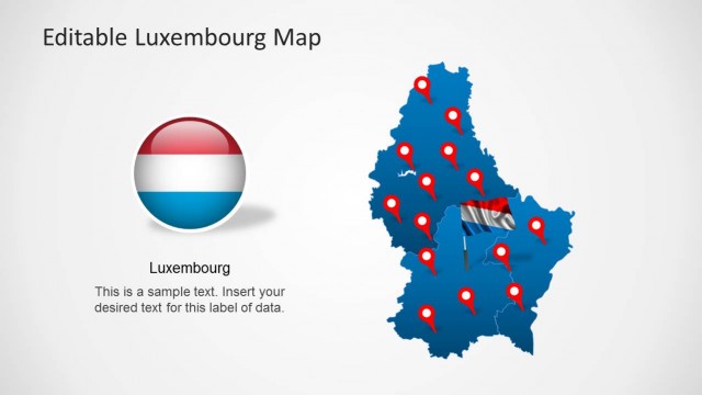
Feature one of the most well-known countries in the world with the Editable Germany Map Template for PowerPoint. Impress audiences with the different factual and statistical information on the country, letting the viewers become more acquainted with its main geographical features and important cultural influences.
Germany is located in the center of Europe; it borders with Denmark to the north, Poland and Czech Republic to the East, Austria and Switzerland to the south, France and Luxembourg to the southwest, and Belgium and the Netherlands to the northwest.
Germany is known as major world economic power. The country is extremely well-acclaimed for its engineering developments and a leader in innovation.
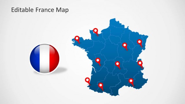
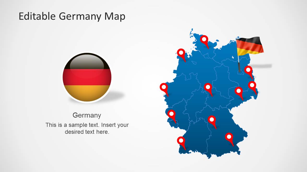
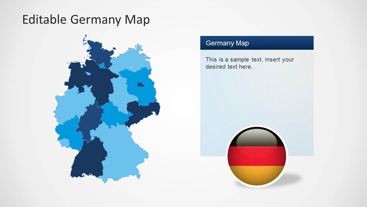
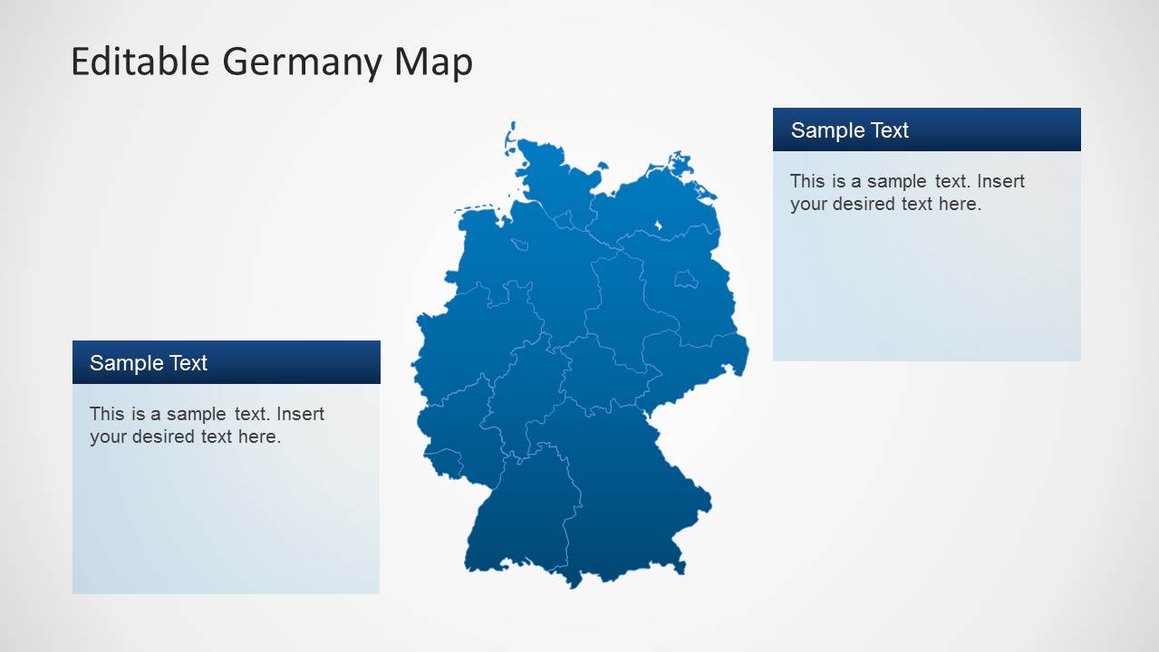
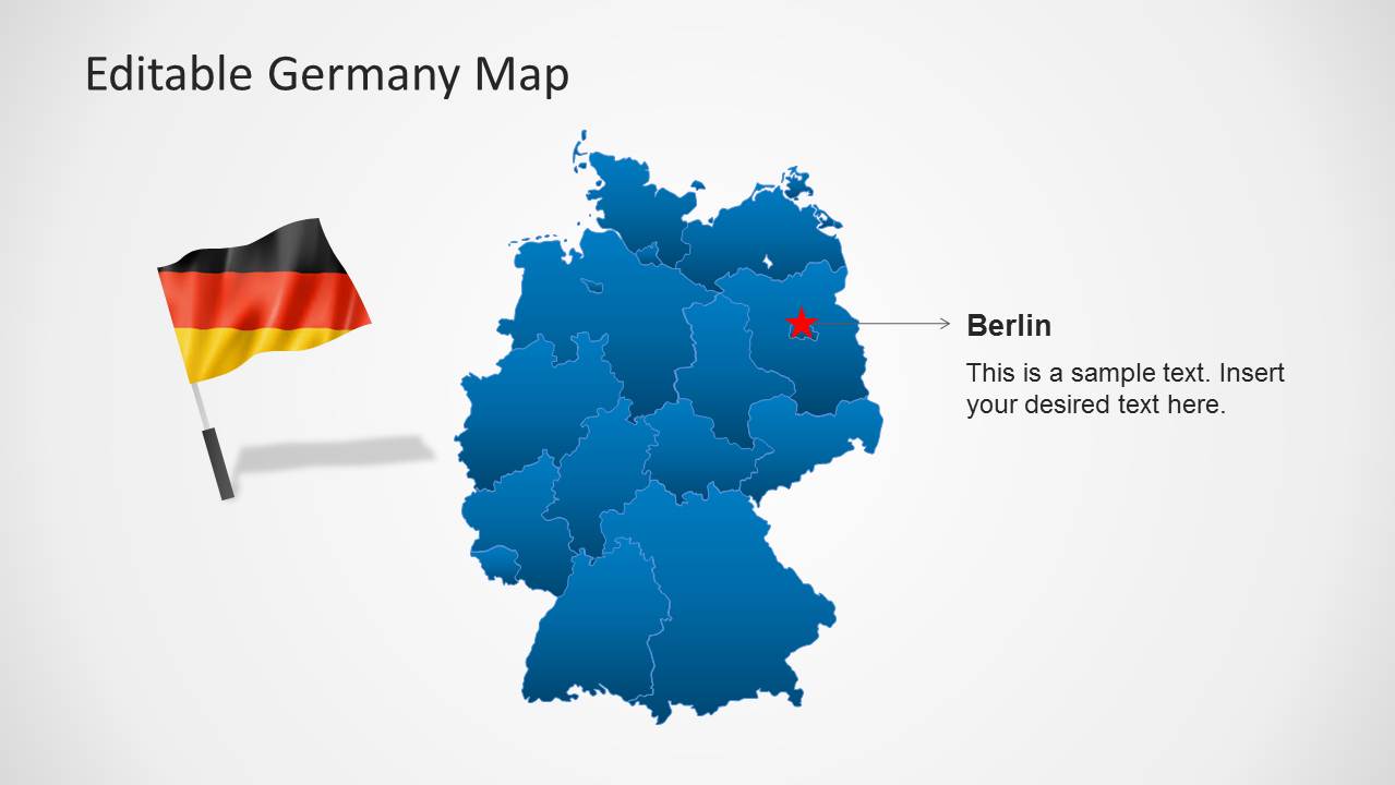
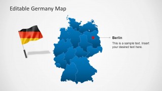
The PowerPoint template contains multiple variations of the Deutschland map, also known as the Federal Republic of Germany. These are designed as a composite of states, where each of them is an individual PowerPoint Shape. The map is shown in blue, with light-colored lines separating the different regions. The slides are also accompanied by the German national flag, quickly establishing the country’s identity to the audience.
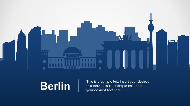
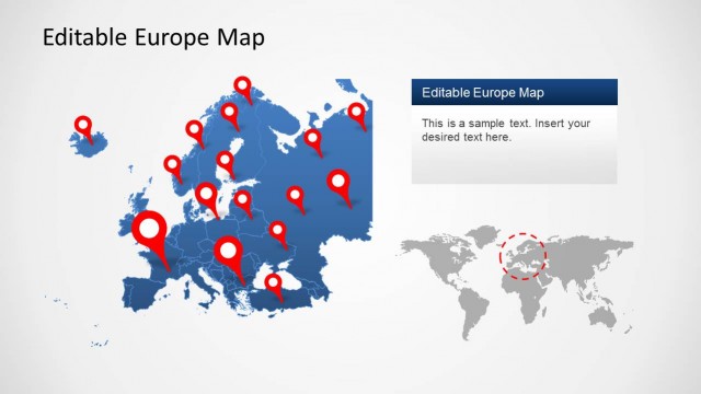
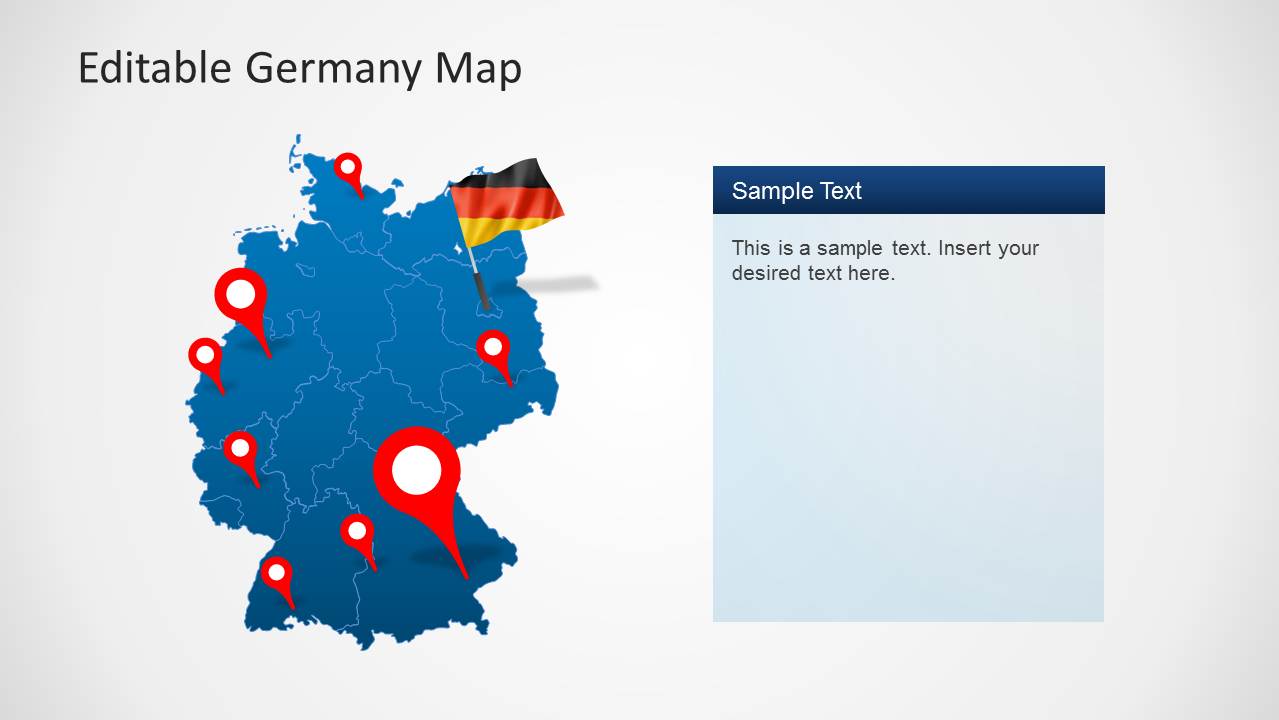
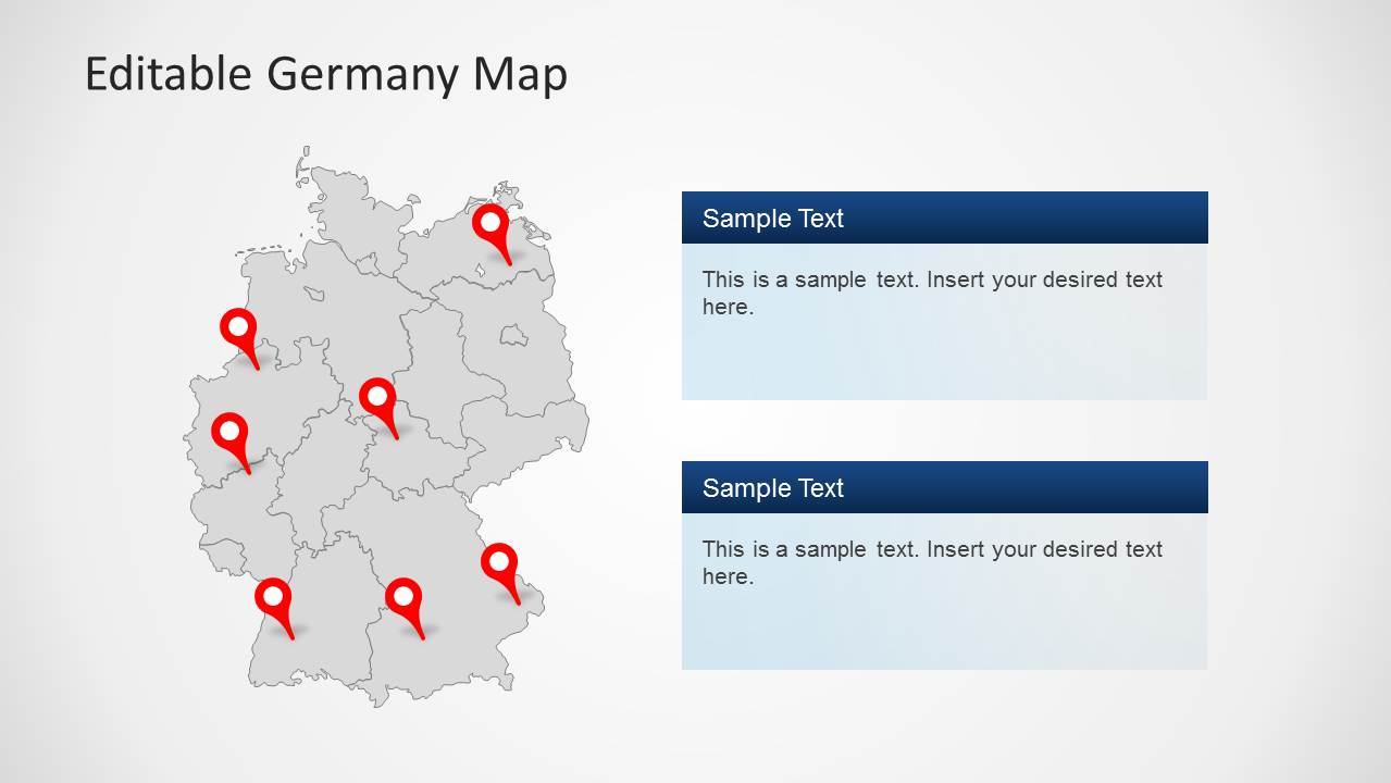
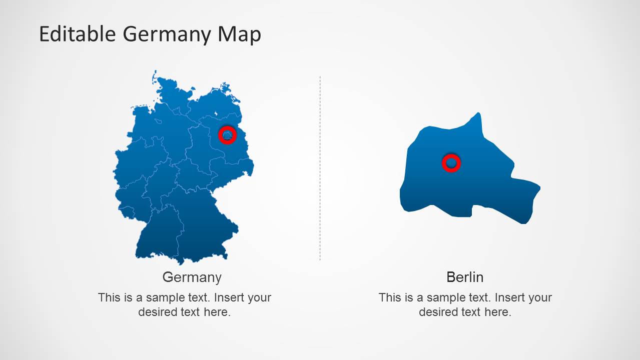
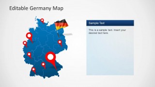
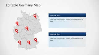
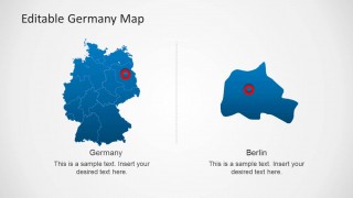
The presentation includes balloon pin markers which point out important landmarks and locations within the country. Text placeholders are also provided on the PowerPoint slides. These can be used to provide facts and figures which are relevant to the presentation. The user can include trivia and interesting information about the country in between the more formal and rigorous slide presentations to break the tension between the presenter and the audience. One of the slide designs shows the map of Berlin, the German capital, beside a map of the country. This provides the audience with an overview of the region’s geographical location relative to the entire country.
The Editable Germany Map Template for PowerPoint is most suited for showcasing the country, especially to management. This allows main executives to make important decisions on whether to establish corporate operations in the country. The presenter can also choose to download other PowerPoint templates from the Gallery, like the BRIC Maps for PowerPoint.
What’s inside this template
Example presentation scenarios
- A strategy consultant can use the segmented Germany state map and text panel to explain market entry priorities to leadership.
- A sales manager can use the pin marker maps to show branch locations, target cities, or regional coverage across Germany.
- An educator can use the full-country map, German flag graphics, and Berlin callout to introduce German geography and the capital city.
- A logistics presenter can use the gray map with red pins and stacked text boxes to compare distribution points or regional service areas.
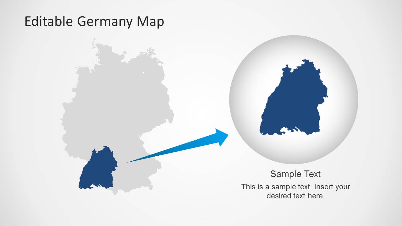
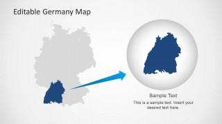
- A tourism or public sector speaker can use the regional highlight zoom to focus attention on one selected area while keeping it connected to the national map.
Features
- 100% editable presentation template
- Compatible with Microsoft PowerPoint and Google Slides
- 16:9 aspect ratio slides
- Scalable vector shapes, icons and illustrations
- AI-Ready for Microsoft Copilot and Claude
- Instant access and download
Frequently asked questions
Q: How should a presenter organize a short Germany briefing with this template?
A: Start with the title map to establish the country, then move to the segmented state map for regional structure. Use the pin slides only after the audience understands the geography. Finish with the Berlin callout or regional zoom when the story needs a specific capital-city or state-level focus.
Q: Who is this Germany map template best suited for?
A: It is best for presenters who need to explain where activity happens inside Germany. Consultants, regional managers, educators, and tourism teams can use the state maps, pin markers, Berlin callout, and text panels to connect place-based facts with decisions, lessons, site planning, or audience orientation.
Q: Why do the pin markers, flag elements, and zoom metaphor help the message?
A: The red pins create immediate location cues, while the German flag elements identify the country without adding long explanations. The circular zoom on the final slide works as a visual metaphor for moving from national context to local detail, which helps audiences follow a geographic story without losing orientation.
Editable Germany Map Template for PowerPoint
8-slide Germany map presentation template with state maps, Berlin callouts, and location pin markers
Editable Germany Map Template for PowerPoint is an 8-slide map presentation template for Microsoft PowerPoint and Google Slides. It includes Germany state maps, location pin marker maps, Berlin callout and inset layouts, text panels, German flag elements, and a regional highlight zoom. Built for geographic briefings, market entry discussions, travel, education, and operations planning.
- Category
- Maps
- Rating


 Loading...
- Aspect ratio
- 16:9, 4:3
- Item ID
- 6286-01
- Colors
 Microsoft PowerPoint
  Microsoft Copilot
  Claude for PowerPoint
 Other formats supported
Subscribe today and get immediate
access to download our PowerPoint templates.