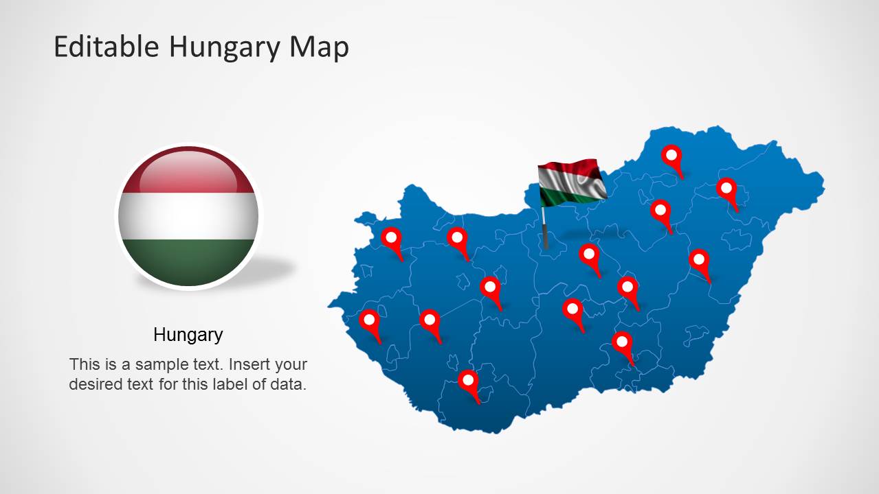
Editable Hungary Map Template for PowerPoint
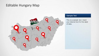
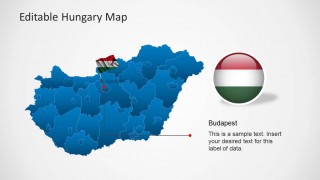
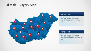
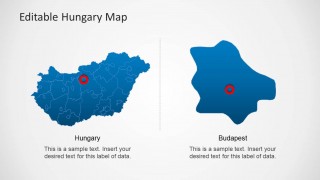
Editable Hungary Map Template for PowerPoint is a one of a kind template with the map of Hungry laid out with precision.
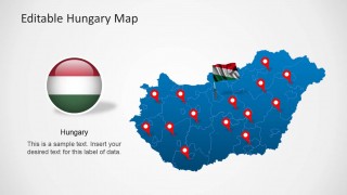
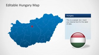
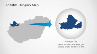
This template contains a main map, with extractable sub-maps for Hungry, from which you can extract maps for different administrative areas of the country, including; Central Hungary, Northern Great Plain, Northern Hungary, Western Transdanubia, Central Transdanubia, Southern Transdanubia and the Southern Great Plain.
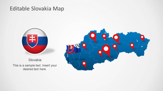
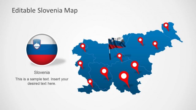
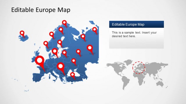
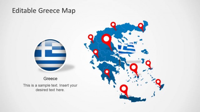
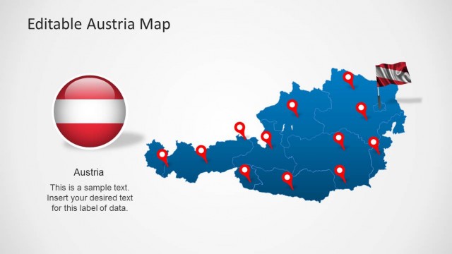
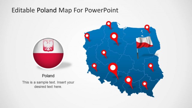
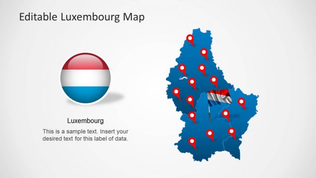
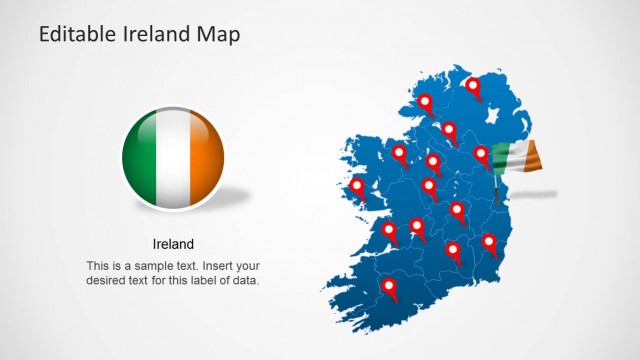
Also check out our collection of Europe Maps for PowerPoint, including maps for UK, France, Germany, Denmark, Ireland, Italy, Sweden, Slovakia, Slovenia, Austria and other countries.


You must be logged in to download this file.
DOWNLOADDetails ( slide)
- Category
- Maps
- Rating


 Loading...
- Item ID
- 6452-01
- Colors
How to get this PowerPoint Template?
Subscribe today and get immediate
access to download our PowerPoint templates.