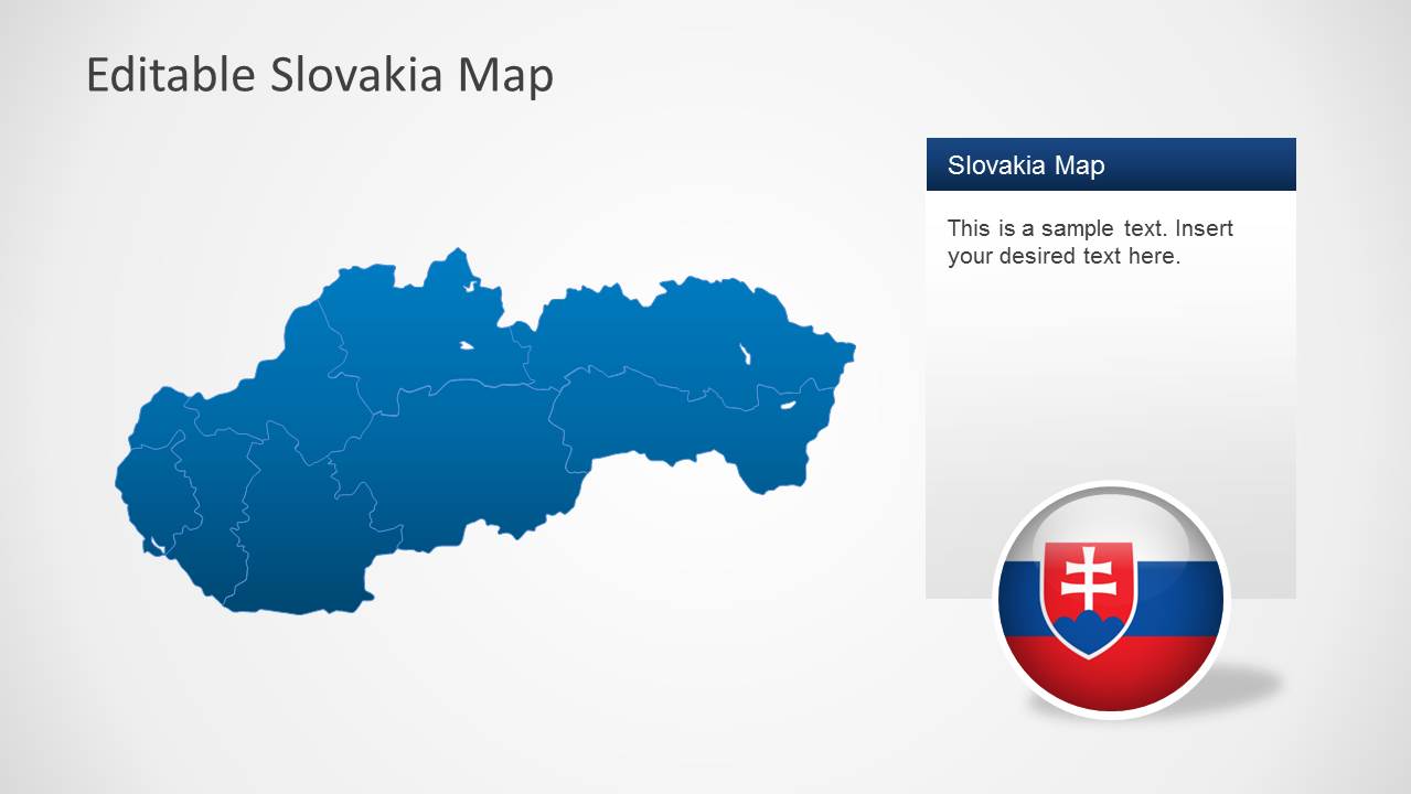
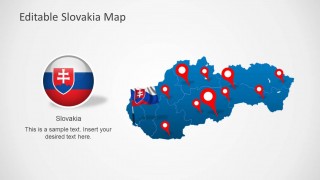
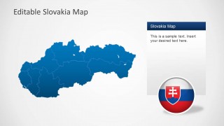
Download Editable Slovakia Map Template for PowerPoint. This template displays a complete map of the Central European country of Slovakia.
You can also single out individual regions of the country by dragging them out of the main map. All basic objects within maps and sample slides are customizable and can be easily modified using options from the PowerPoint Ribbon Menu.
You can download maps for other European countries from our collection of Europe Map Templates for PowerPoint, including map templates for Germany, Poland, Hungry, Sweden, Spain, Netherlands, Austria, France, UK and other countries.
What’s inside this template
Example presentation scenarios
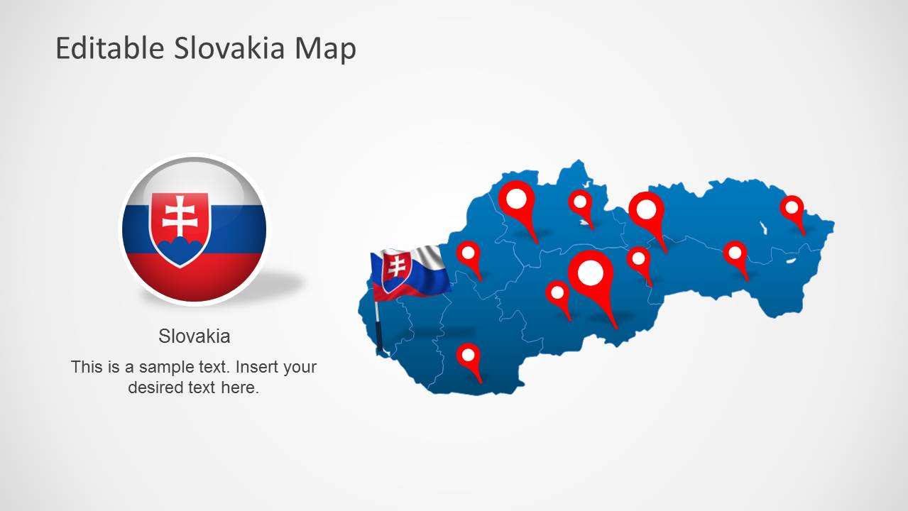
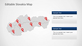
- A business development manager can present Slovakia market coverage by placing branch or customer locations on the red pin map and explaining priority areas in the adjacent text box.
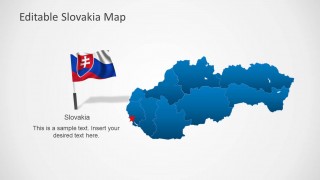
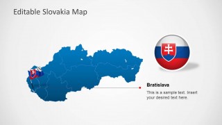
- A logistics presenter can show service zones across Slovakia using the regional boundary map, then use the Bratislava callout slide to focus attention on the capital area.
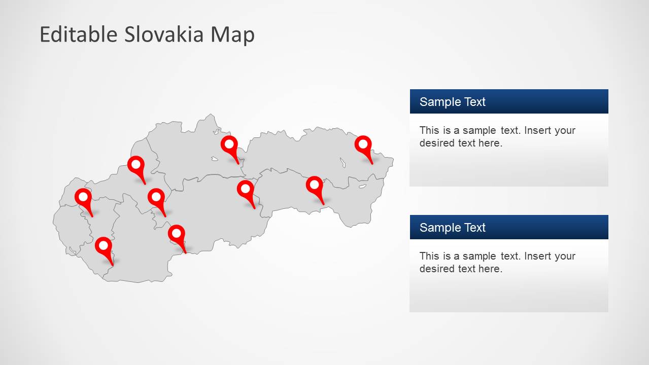
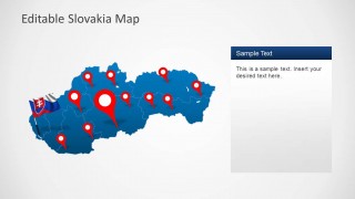
- A public sector analyst can brief stakeholders on geographic programs by using the gray map with multiple pins and the two stacked text panels to separate initiatives by region.
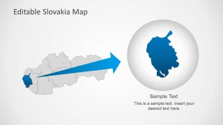
- An educator or country briefing presenter can introduce Slovakia with the flag, emblem, national map, and magnified region slide to connect country identity with geographic focus.
Features
- 100% editable presentation template
- Compatible with Microsoft PowerPoint and Google Slides
- Scalable vector shapes, icons and illustrations
- AI-Ready for Microsoft Copilot and Claude
- Instant access and download
Frequently asked questions
Q: How should a presenter communicate regional priorities with this Slovakia map template?
A: Start with the full Slovakia map to orient the audience, then use the pin map to show where activity is concentrated. Move to the Bratislava callout only after the national context is clear. Keep each red marker tied to one message, such as a branch, customer cluster, policy area, or planned expansion.
Q: Who is this template best suited for?
A: This template is best for presenters who need a Slovakia-specific geographic story rather than a broad Europe overview. Regional managers, consultants, public agencies, educators, and logistics teams can use the map boundaries, markers, flag elements, and Bratislava focus to explain presence, responsibility, access, or local relevance.
Q: Why do the pins, callouts, and magnified region view work well for this topic?
A: The red pins create immediate location signals against the blue and gray maps, while callout panels give space for interpretation without covering the geography. The magnified region view acts like a zoom metaphor, helping the audience move from national context to a specific area without losing orientation.




Editable Slovakia Map Template for PowerPoint
8-slide PowerPoint presentation template with editable Slovakia maps, regional markers, and Bratislava callouts
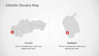
The Editable Slovakia Map Template for PowerPoint is an 8-slide map presentation template for showing Slovakia by country, region, and city focus. It includes a national map with location pins, regional boundary map, Bratislava callout, split comparison map, and magnified region highlight for business, public sector, or geographic briefings.

 Loading...
 Microsoft PowerPoint
  Microsoft Copilot
  Claude for PowerPoint
 Other formats supported
Subscribe today and get immediate
access to download our PowerPoint templates.