Territories Templates for PowerPoint
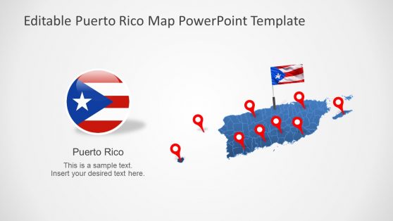
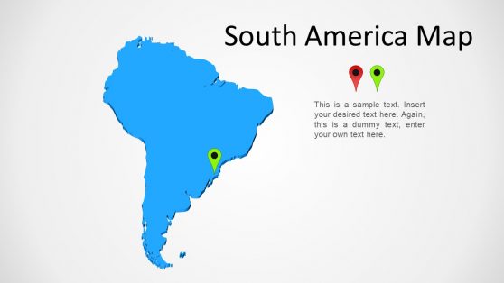
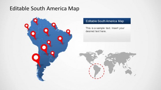
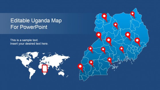
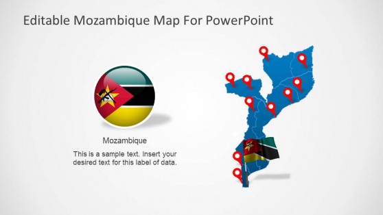
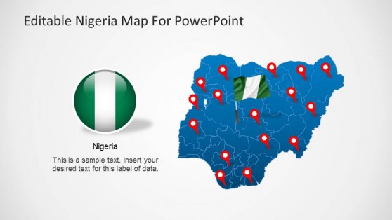
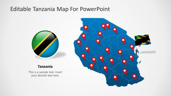
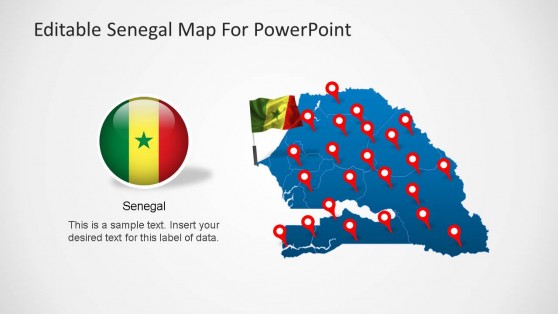
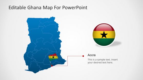
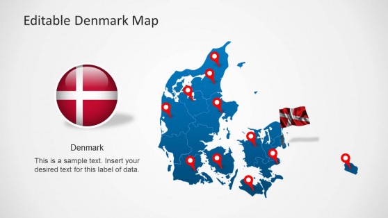
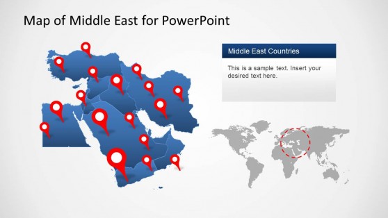
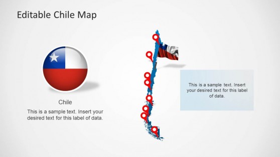
Display different continents and countries with customizable maps and country flags with our Territories Templates for PowerPoint.
These templates have been created with main maps which are made up of sub-maps that can also be separated to single out and highlight specific areas from the main composite map.
This can help you present your slides with precise PowerPoint maps for required territories, with great precision.
