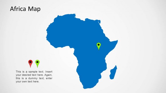
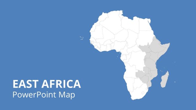
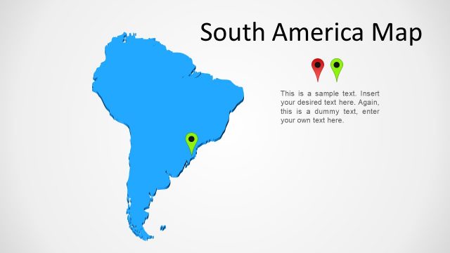
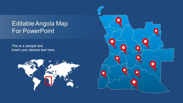
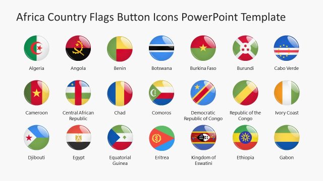
Africa Map Template for PowerPoint provides a comprehensive, editable map for the African continent.
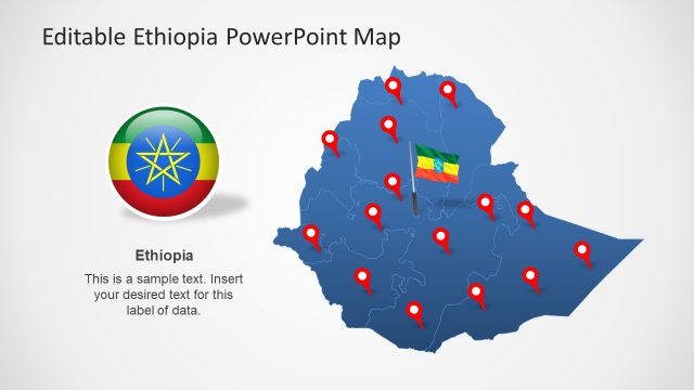
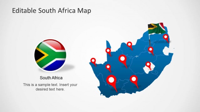
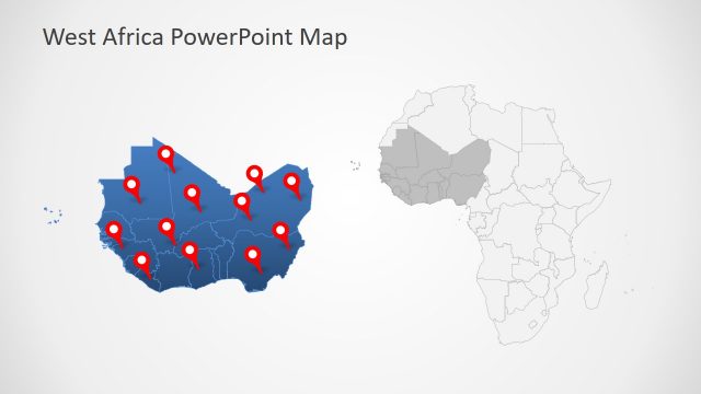
This is among our collection of Africa Map Templates which not only provide creative slide designs for the map of Africa but also offer templates for individual African countries.
The slides in this template are easy to customize and you can even move or remove individual objects from within the sample slides. This template is compatible with PowerPoint 2010 and also PowerPoint 2013.
What’s inside this template
Example presentation scenarios
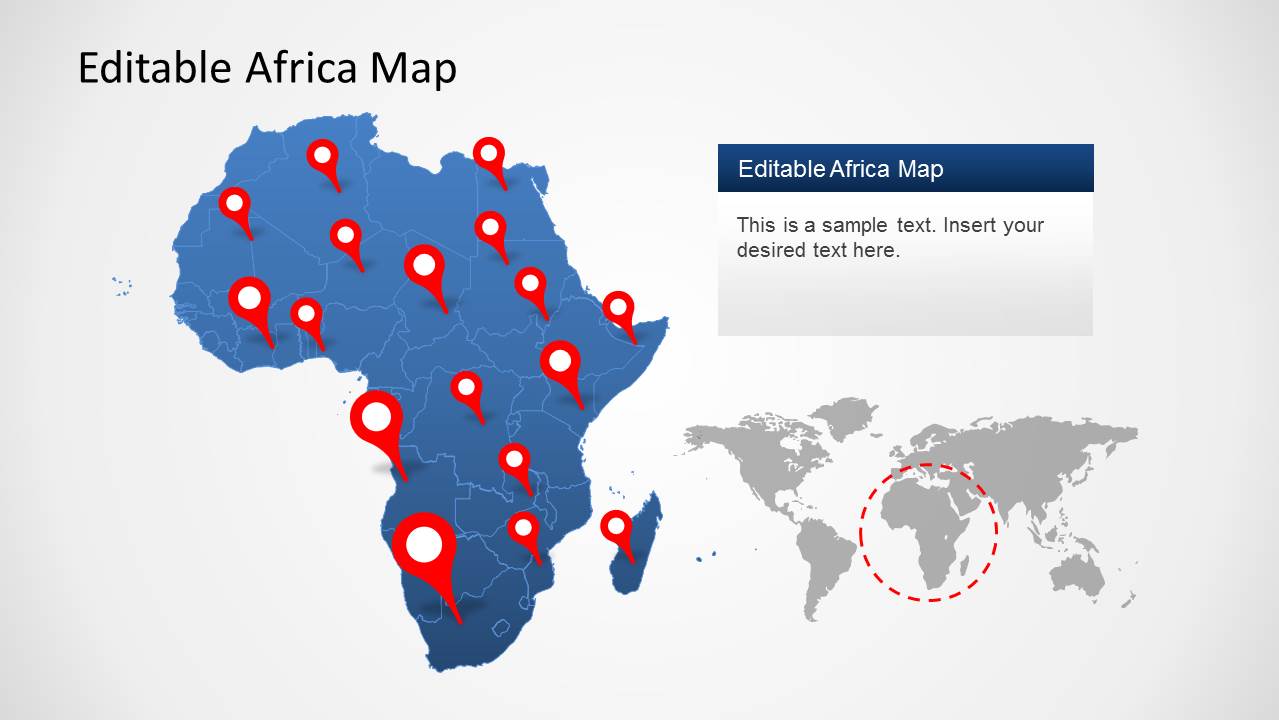
- A sales director can present African market coverage by placing office or client pins on the blue map and using the text panel to explain priorities by region.
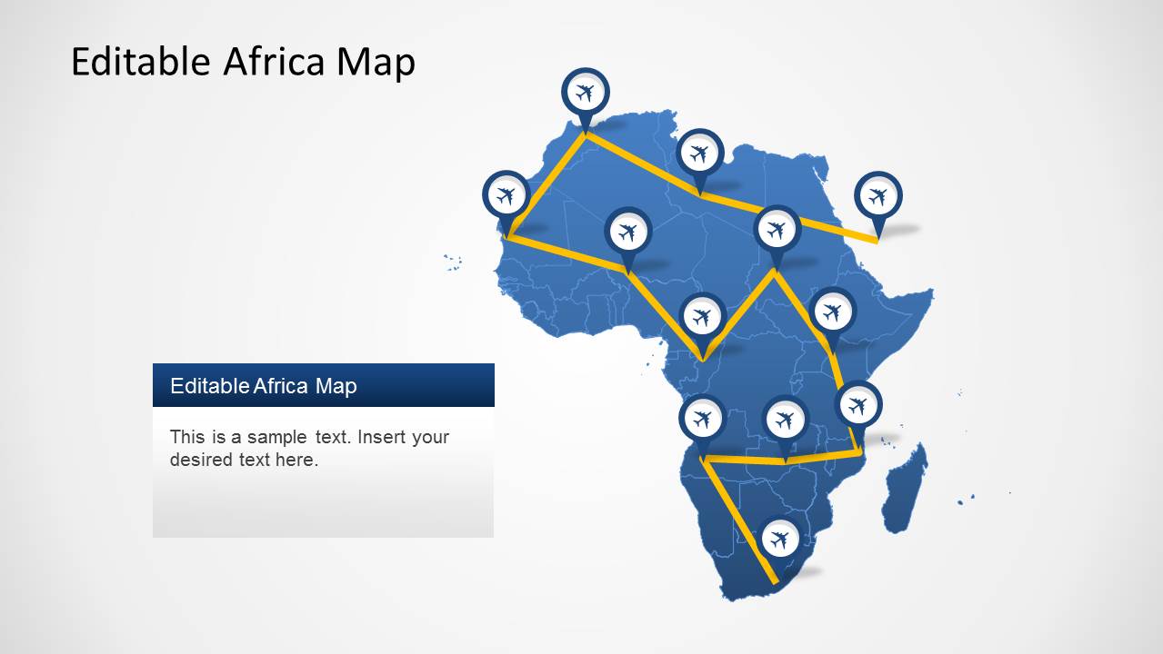
- A logistics planner can explain air routes or delivery paths with the yellow route map and airplane markers, connecting hubs across the continent.
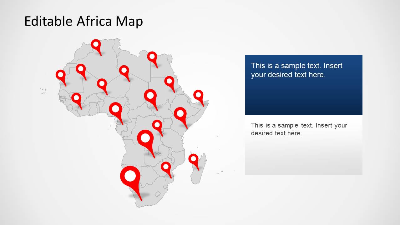
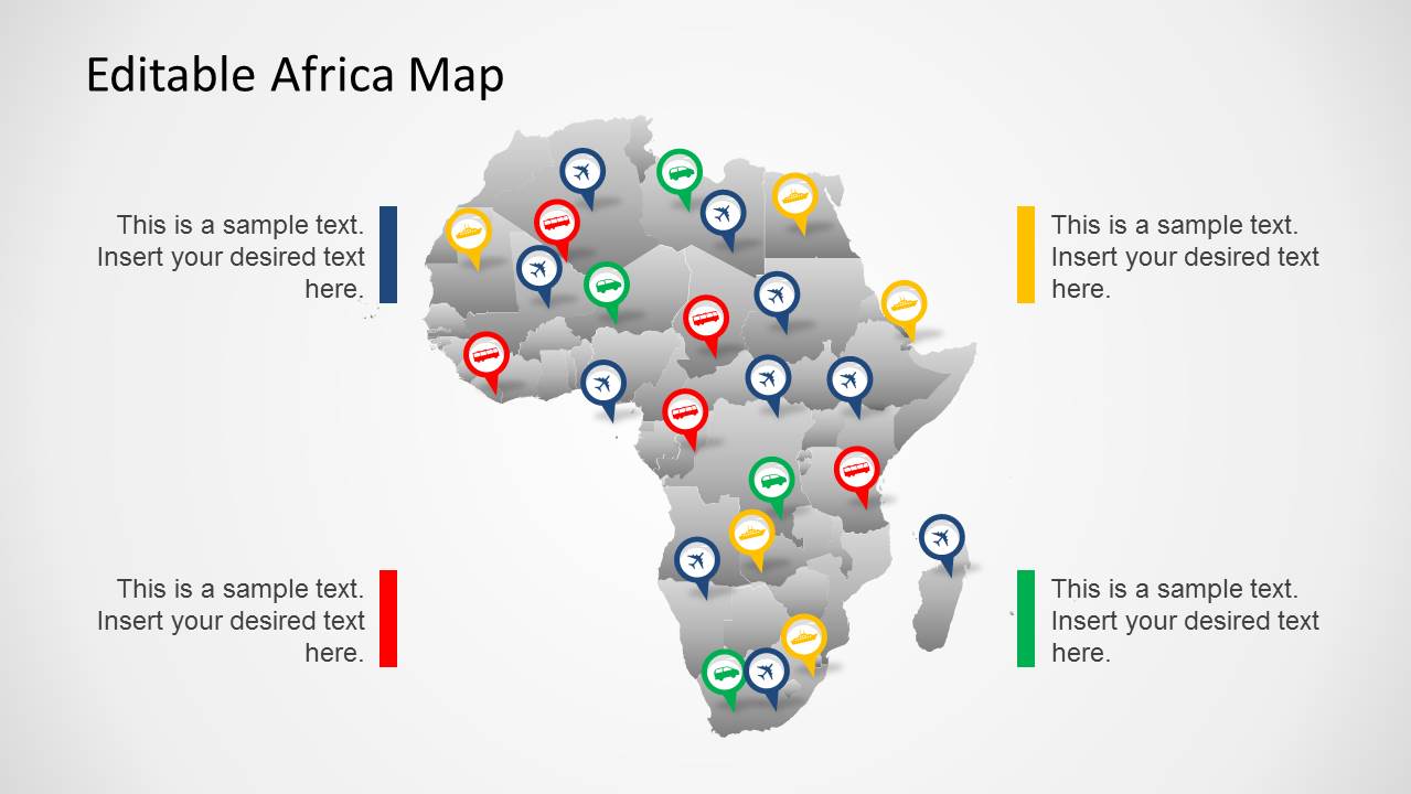
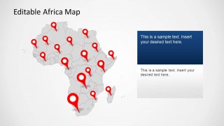
- A nonprofit program manager can show project locations with the gray pin map, using larger red markers to distinguish high-priority or flagship sites.
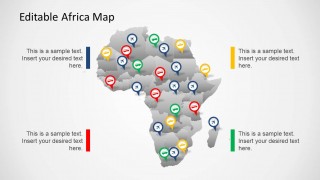
- A regional operations team can compare service categories with the multi-color marker map and assign each icon color to a status, partner type, or field activity.
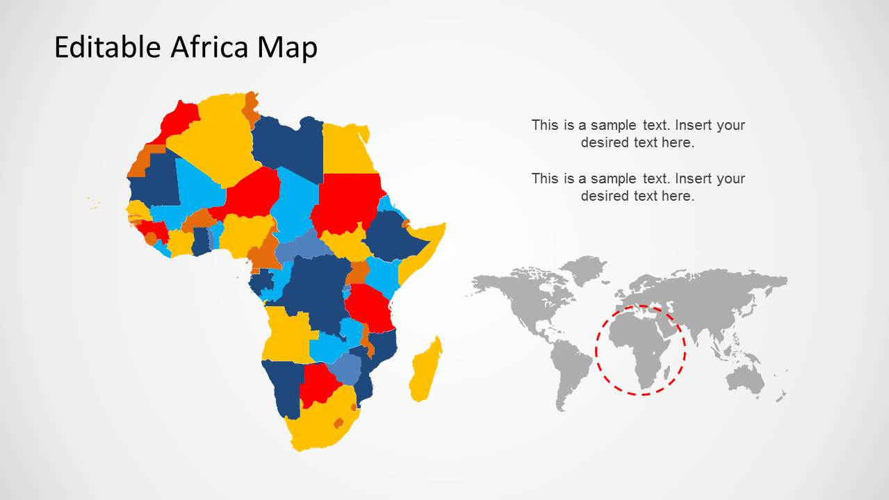
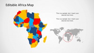
- A consultant can summarize territory segmentation with the color-coded Africa map and use the world locator inset to orient global stakeholders.
Features
- 100% editable presentation template
- Compatible with Microsoft PowerPoint and Google Slides
- 16:9 aspect ratio slides
- Scalable vector shapes, icons and illustrations
- AI-Ready for Microsoft Copilot and Claude
- Instant access and download
Frequently asked questions
Q: How should a presenter explain regional priorities without overcrowding the map?
A: Start with one map purpose per slide. Use the blue pin map for named locations, the route map only for movement or connection, and the color-coded territory map for grouped regions. Keep the callout panels short, and remove pins that do not support the spoken point so the audience reads the geography quickly.
Q: Who is this Africa map template best suited for?
A: It fits presenters who need to make Africa the center of the discussion rather than a small part of a global map. Regional managers, consultants, logistics teams, educators, and nonprofit leaders can use the visible pin maps, route diagram, and territory map to brief stakeholders on coverage, movement, and geographic focus.
Q: Why do the pin, route, and locator map metaphors work well together?
A: The design separates three geographic questions: where something is, how places connect, and how the continent fits into a wider world context. Pins answer location, airplane routes show movement, and the world inset gives orientation. This keeps map reading intuitive and reduces the need for long explanatory text.
Africa Map Template for PowerPoint
5-slide Africa map presentation template with territory maps, location pins, and route markers
Africa Map Template for PowerPoint is a 5-slide map presentation template for showing African territories, locations, and routes. It includes a blue Africa map with location pins, a flight route map with airplane markers, a gray pin map, a multi-category marker map, and a color-coded territory map for PowerPoint and Google Slides.
- Category
- Maps
- Rating


 Loading...
- Aspect ratio
- 16:9, 4:3
- Item ID
- 6374-01
- Colors
 Microsoft PowerPoint
  Microsoft Copilot
  Claude for PowerPoint
 Other formats supported
Subscribe today and get immediate
access to download our PowerPoint templates.