International PowerPoint Templates
Download professionally designed International PowerPoint Templates to reflect international trends.
Whether you require creating a marketing diagram, a world map, need to elaborate upon logistical needs and plans or wish to explain your international strategy to an audience, these templates can help you reflect trends and action plans with ease and grace.
You can also see our comprehensive collection of PowerPoint Map Templates which are available with editable continent and world maps, as well as maps for dozens of countries from around the world.
International Tax Planning PowerPoint Template
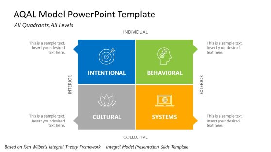
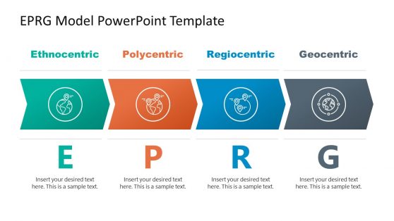
EPRG Model PowerPoint Template
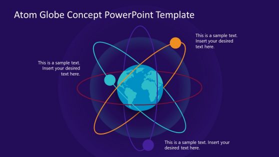
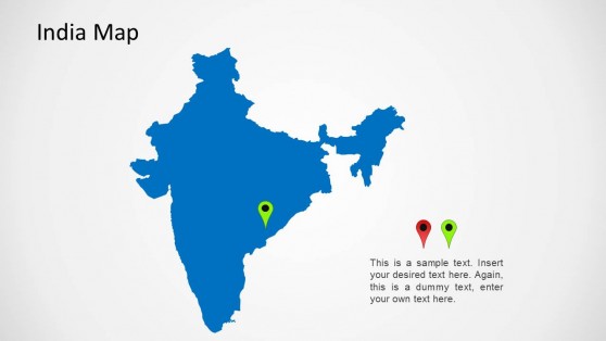
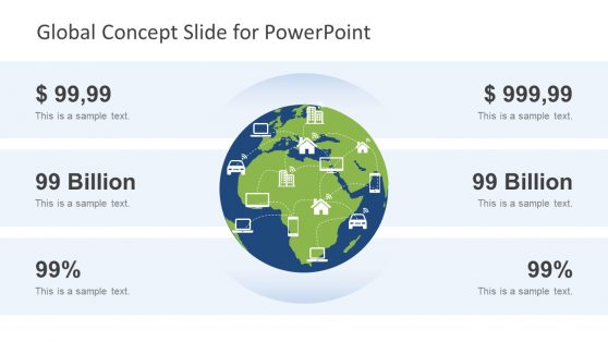
Global Concept Slide for PowerPoint
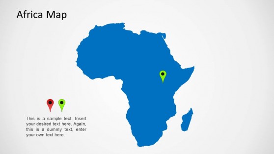

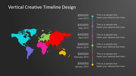
Vertical Creative Timeline Design for PowerPoint
Green Animated Business PowerPoint Template
Animated Continental PowerPoint Template
Presenting a market entry plan, a regional sales breakdown, or a global operations update all depend on the same underlying asset: a map the audience immediately recognizes and can be marked up without a design tool. An international PowerPoint template provides that map, along with country flags and region-based layouts, so the geography carries the message rather than a text-heavy slide. Our international templates are designed for business development teams and analysts who regularly present across borders.
What Can You Find in an International PowerPoint Template?
An international PPT template is a slide set built around world maps, country breakdowns, and region-based layouts, used to present business activity spanning multiple markets. Slides in the set typically include:
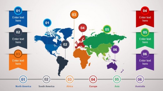
- Editable world maps with countries as separate, colorable shapes
- Region comparison slides for revenue or headcount by continent
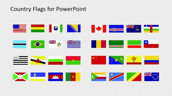
- Country flag sets for team, market, or partner overviews
- Timezone and office location layouts for global teams
Who Uses International Templates, and How?
Business development teams use the editable map when presenting a go-to-market strategy for a new region, while operations leads use the timezone layout to show meeting overlap across a distributed team. Sales directors adapt the region comparison slide for a quarterly review split by continent, and HR teams supporting international hiring use the country map template to show where new offices are opening. Because these teams rarely share an office, presenting from Google Slides lets a colleague in another time zone review the map and add a region before the next working day begins.
What is an international presentation template?
It’s a slide deck built around world maps, country breakdowns, and region-based layouts, used to present business activity spanning multiple markets.
How do I create an international PowerPoint template?
Start with an editable world map layout, where countries are separate shapes, then color or label the regions relevant to your presentation and add your own data.
Where can I find a free international presentation template?
Our library includes free and premium international layouts, from editable world maps to region comparison slides and country flag sets.