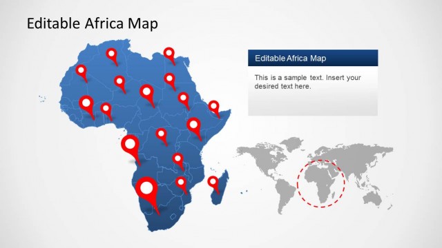
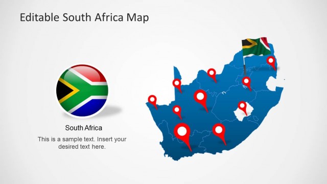
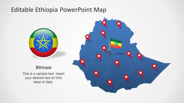
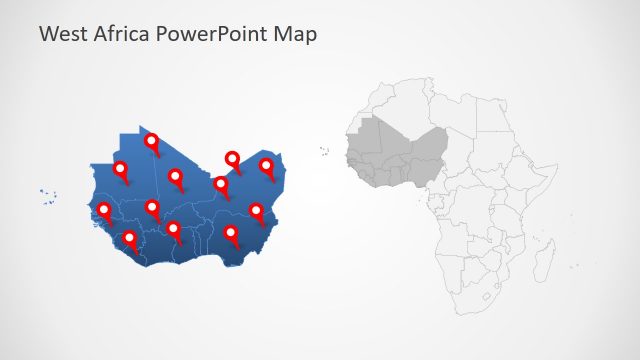
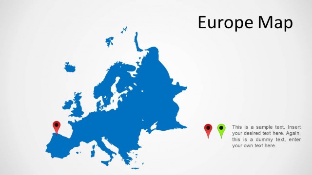
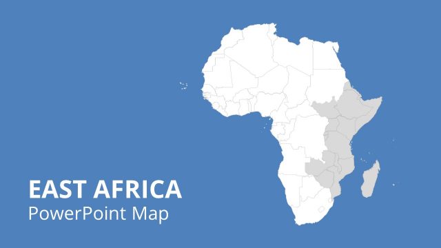
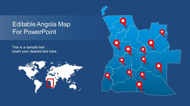
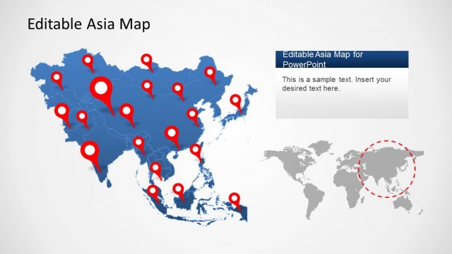
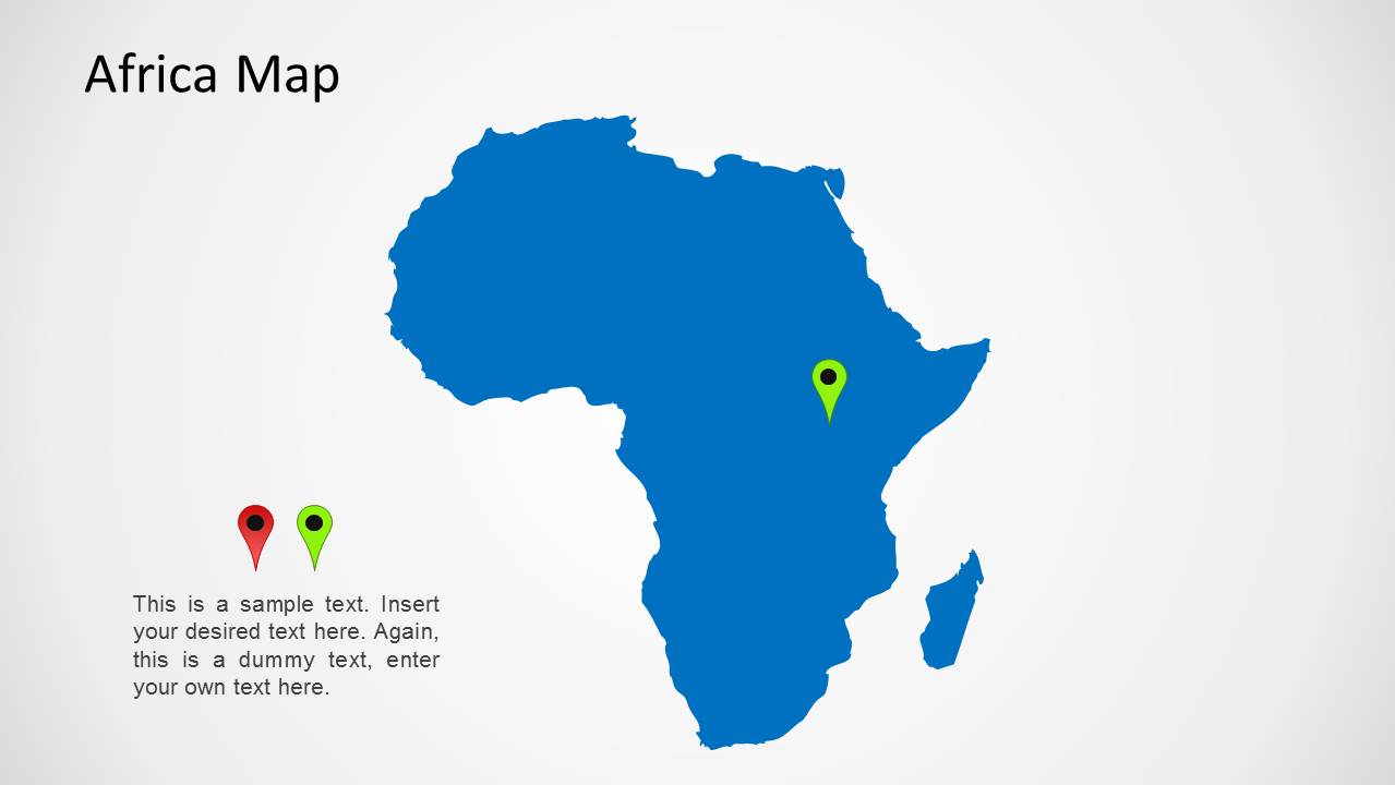
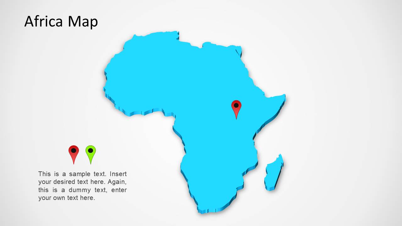
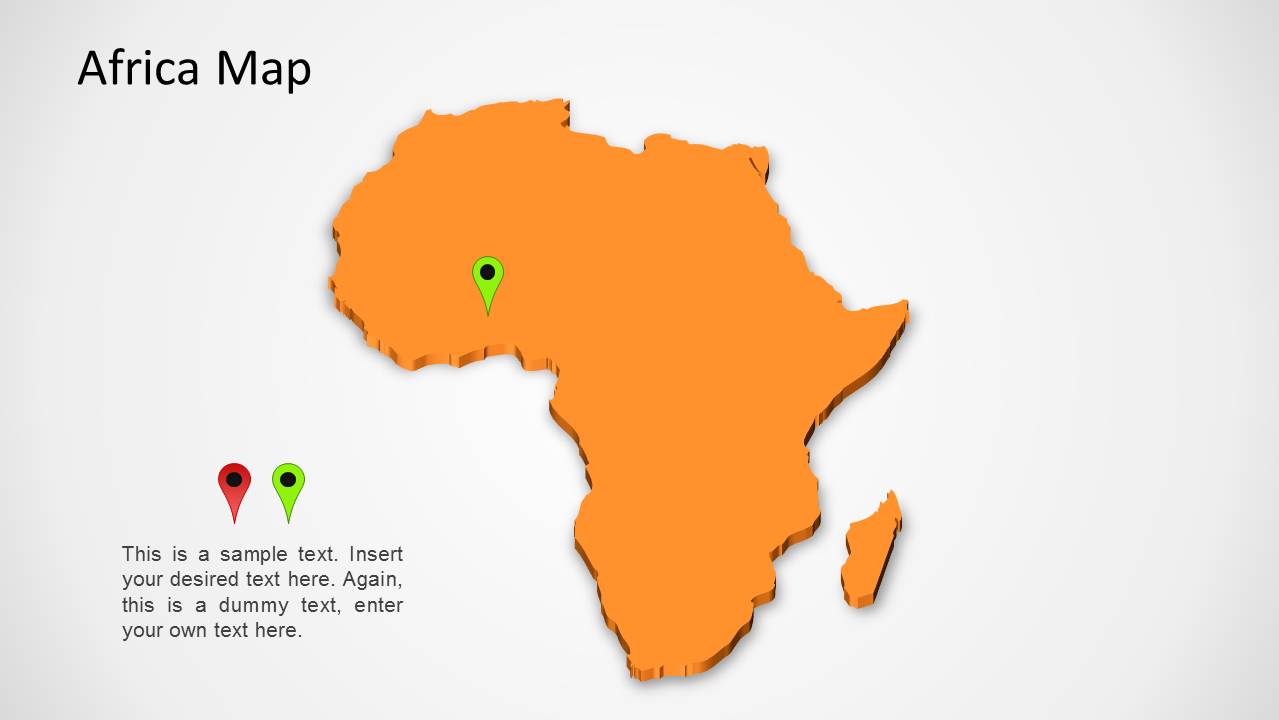
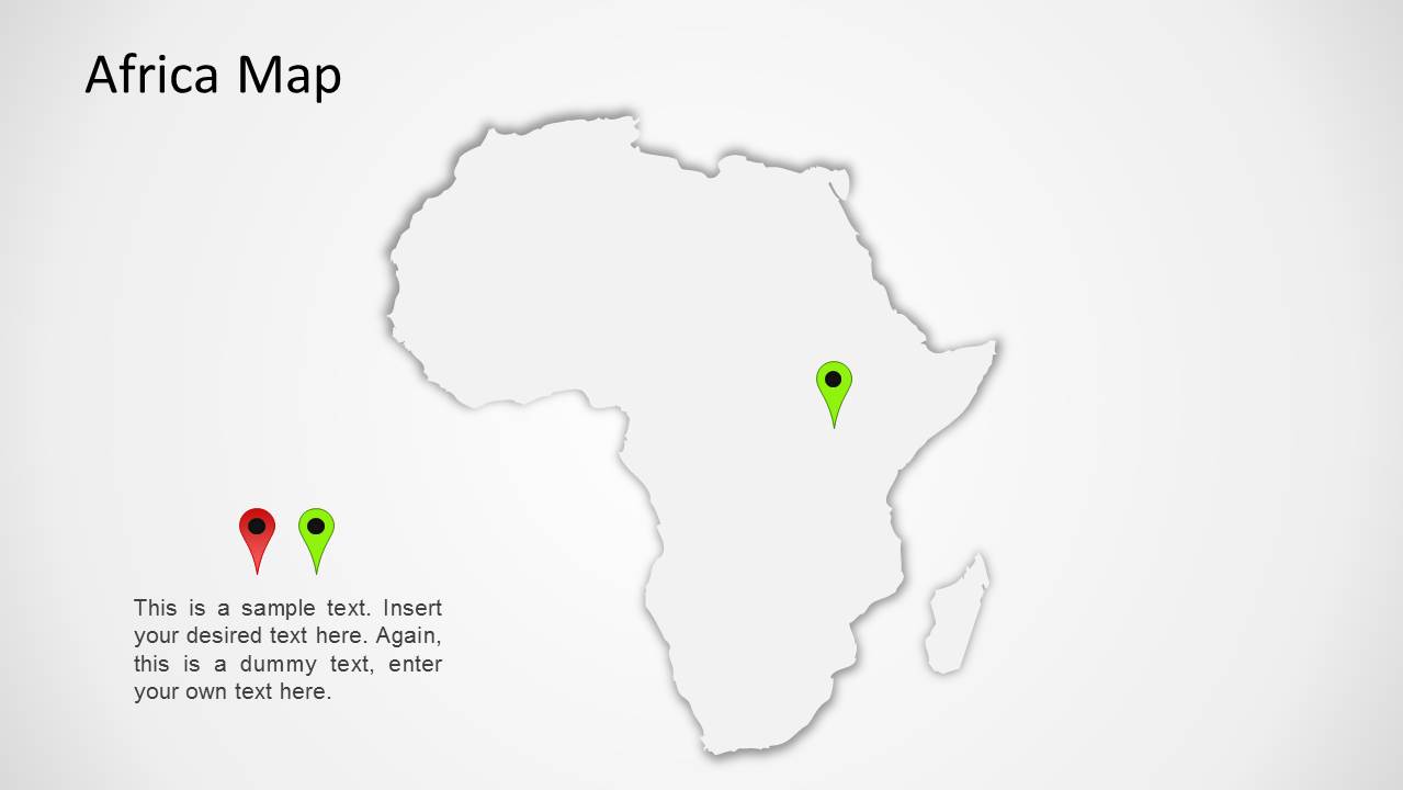
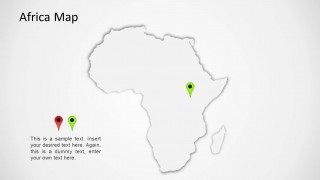
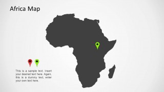
Africa Map for PowerPoint is a simple outline created in PowerPoint slides that provides a map of Africa in different colorful slides with GPS markers, which can be used to highlight various parts of Africa.
This template is suitable for adding a map of Africa to your presentation slides, using markers to single out important areas that you wish to elaborate upon during the presentation.
If you require a template that provides a map of Africa with extractable sub-maps for all African countries, see the Editable Africa Map Template for PowerPoint.
What’s inside this template
Example presentation scenarios
- A regional sales manager can use the Africa outline map and GPS marker to show a target market or office location during an expansion update.
- A consultant can use the caption block beside the marker icons to explain where a client project is active and why the location matters.
- A nonprofit program lead can use the color-coded map variants to present field sites or service areas across Africa in a donor briefing.
- An educator can use the simplified continent map and location pin to introduce a lesson about a specific African region or country context.
Features
- 100% editable presentation template
- Compatible with Microsoft PowerPoint and Google Slides
- 16:9 aspect ratio slides
- Scalable vector shapes, icons and illustrations
- AI-Ready for Microsoft Copilot and Claude
- Instant access and download
Frequently asked questions
Q: How should I present location information clearly with this map template?
A: Start with one location message per slide. Use the large Africa outline as geographic context, place the GPS marker where the audience should focus, and keep the caption text to a short explanation of why that location matters. The small marker icons can reinforce a legend, priority level, or comparison between two sites.
Q: Who is this template best suited for?
A: This template is best for presenters who need a simple Africa locator visual rather than a detailed statistical map. Regional managers, consultants, nonprofit teams, educators, and logistics planners can use it to orient an audience before discussing operations, field activity, travel routes, market entry, or project coverage.
Q: Why does the single-map layout work for Africa-focused presentations?
A: The design keeps attention on the continent silhouette and one marked point, which reduces geographic noise. The repeated layout across color variants lets presenters match tone or section needs without changing the audience's mental map. The pin metaphor also makes the slide immediately readable as a place-based explanation.

Africa Map Template for PowerPoint
5-slide Africa map presentation template with continent outlines, GPS markers, and regional callout text.
Africa Map Template for PowerPoint is a 5-slide map template with editable Africa continent outlines, GPS marker callouts, and caption text blocks. The slides show blue, cyan, orange, white, and dark gray map variants for business, education, logistics, and international reporting in Microsoft PowerPoint and Google Slides.
- Category
- Maps
- Rating


 Loading...
- Aspect ratio
- 16:9
- Item ID
- 1177
- Colors
 Microsoft PowerPoint
  Microsoft Copilot
  Claude for PowerPoint
 Other formats supported
Subscribe today and get immediate
access to download our PowerPoint templates.