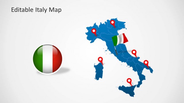
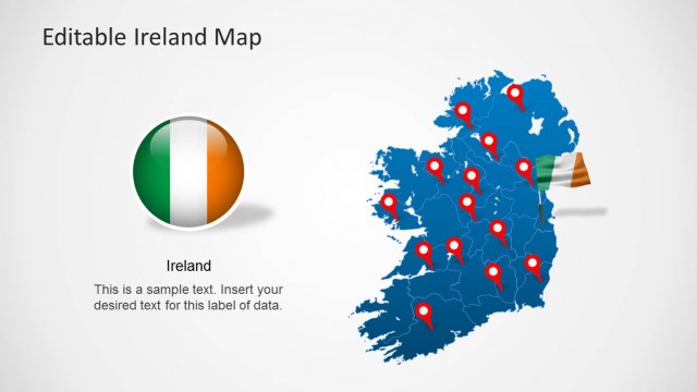
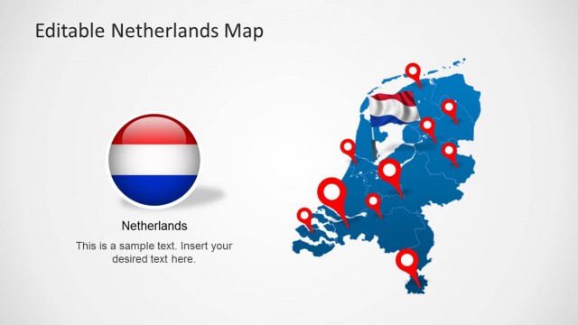
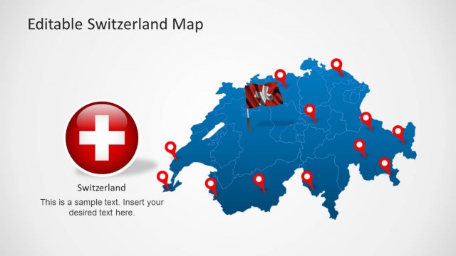
Editable France Map Template for PowerPoint
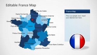
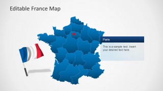
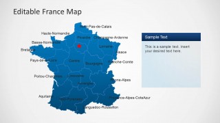
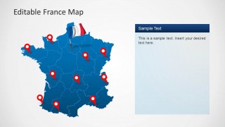
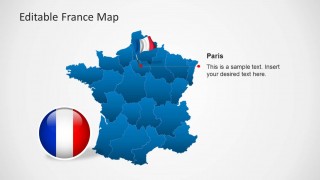
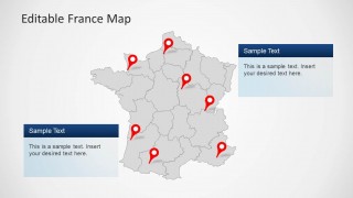
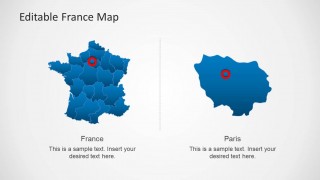
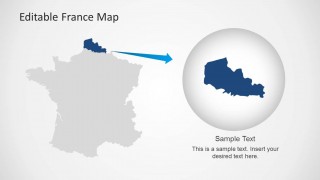
Editable France Map Template for PowerPoint provides a comprehensive map of France with all major regions of the country available in the form of editable sub-maps.
You can extract major areas of France from the main map and customize the map with different colors or given GPS marker icons in the template. The template can be fully edited from within PowerPoint to display a customized map of France with the French flag for PowerPoint presentations.
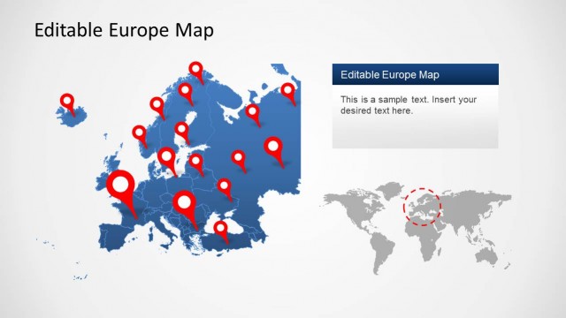
You can find more map templates for European countries from our collection of Europe Map Templates for PowerPoint.


You must be logged in to download this file.
DOWNLOADDetails (9 slides)
- Category
- Maps
- Rating

 Loading...
- Size
- 16x94x3
- Item ID
- 6280-01
- Colors
Supported Versions:
PowerPoint 2007PowerPoint 2010PowerPoint 2013PowerPoint 2011 MacKeynotePowerPoint 2016PowerPoint 2016 MacOffice 365Google Slides
How to get this PowerPoint Template?
Subscribe today and get immediate
access to download our PowerPoint templates.