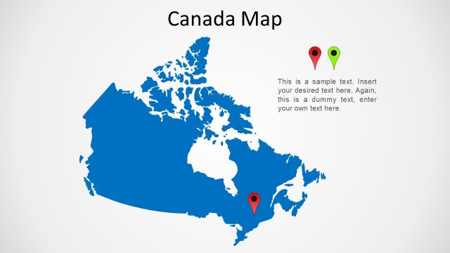
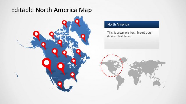
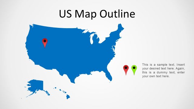
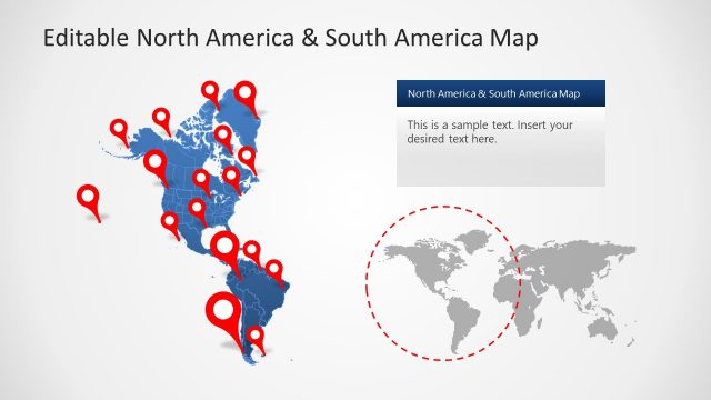
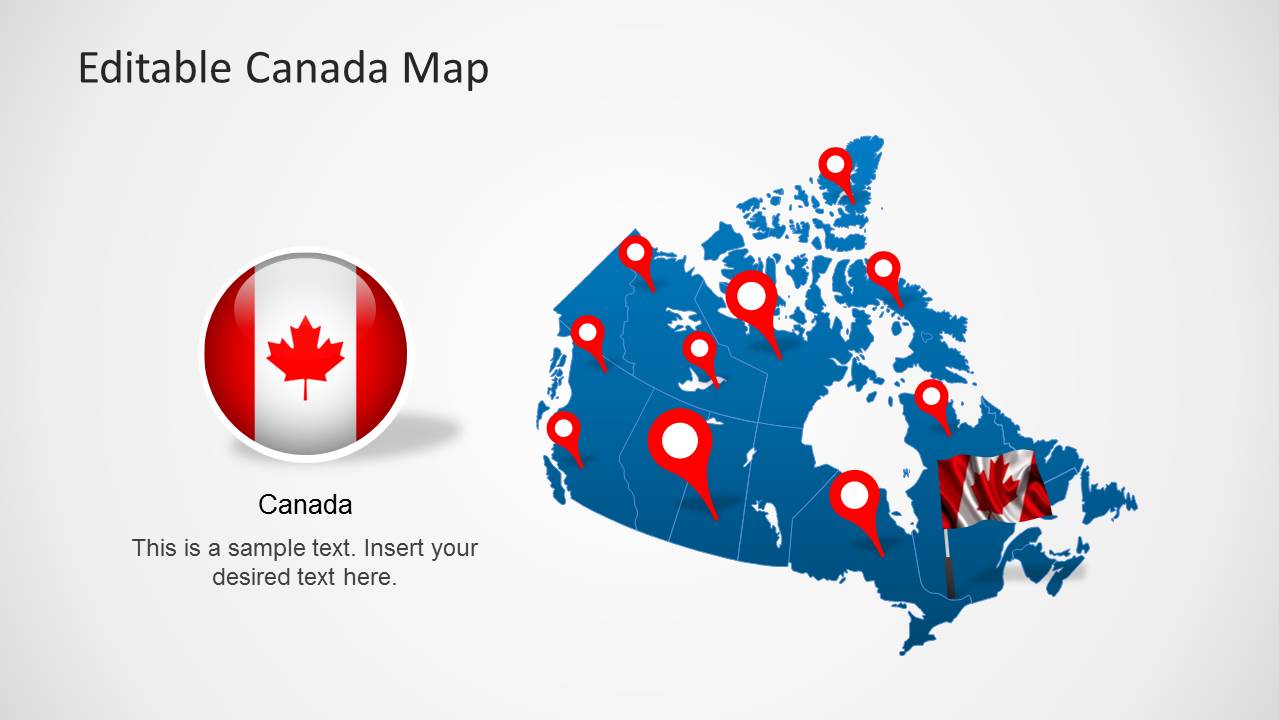
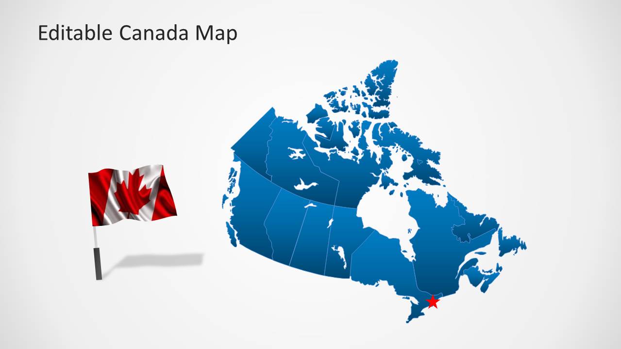
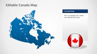
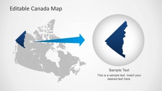
Editable Canada Map Template for PowerPoint is a presentation with outline and political maps of Canada. Each slide is created composing different PowerPoint individual objects, enabling the user to fully customize the maps sates and their properties.
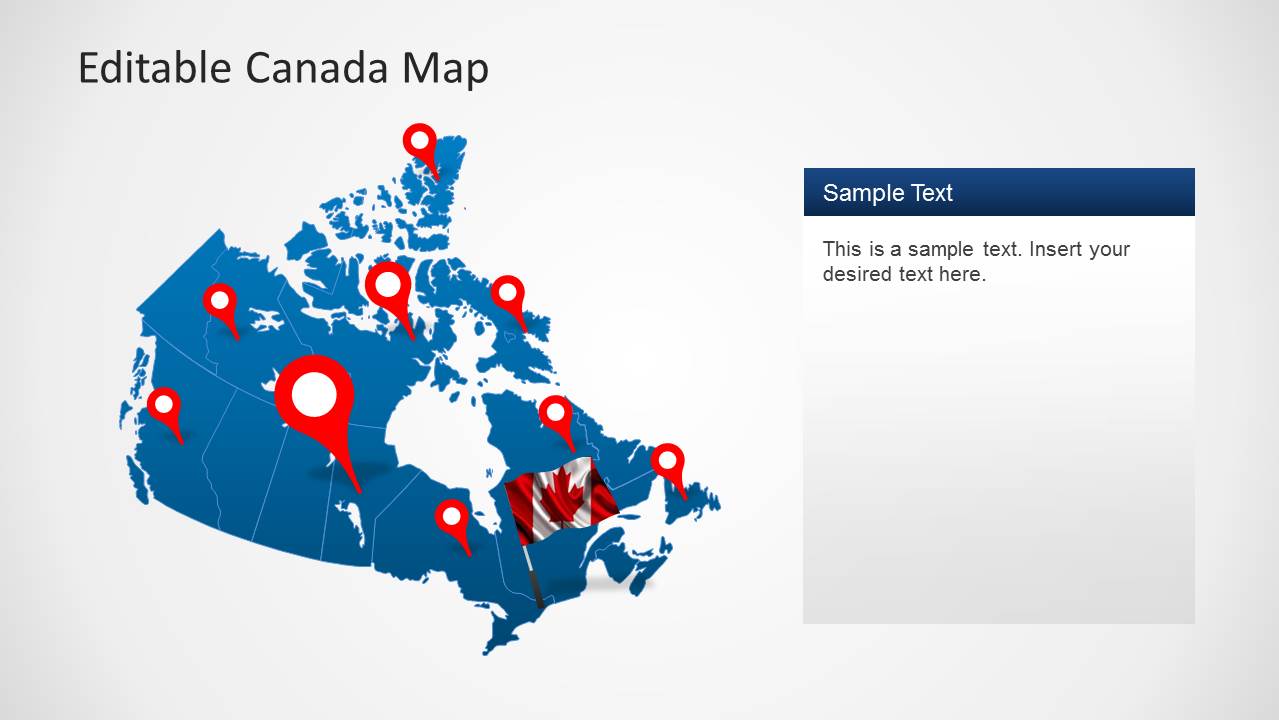
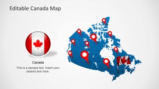
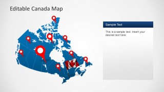
The presentation provides Canada flag icons which can be manipulated by the user. Also a slide with different location icons is provided, very useful for points of interest in the map, or to show routes and paths.
Canada is located in North America and borders with the United States Of America.
What’s inside this template
Example presentation scenarios
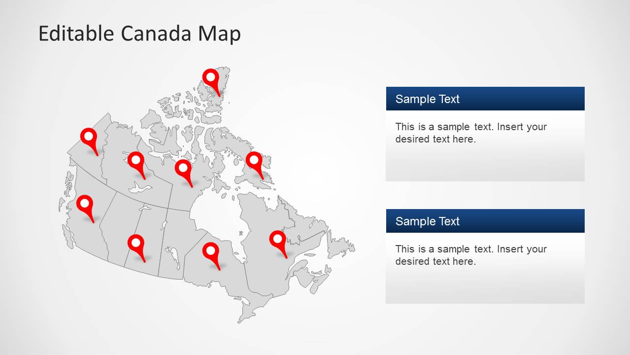
- A sales operations manager can present Canadian territory coverage by placing red pins on the national map and using the right-side callout panels to explain regional priorities.
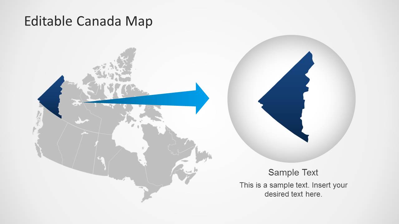
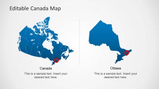
- A logistics planner can explain distribution routes or service points by combining the multi-pin Canada map with the zoom-style regional slide for closer geographic focus.
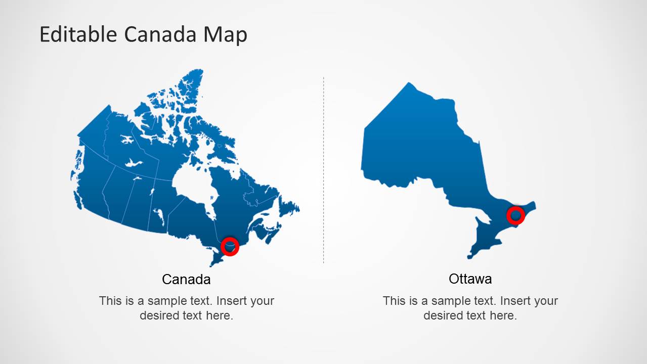
- A consultant can brief executives on market presence in Canada by starting with the blue political map, then using Ottawa callouts and flag badges to anchor the discussion.
- An educator or public sector presenter can introduce Canadian geography with the gray map and marked locations, then add explanatory text boxes for key provinces, cities, or institutions.
Features
- 100% editable presentation template
- Compatible with Microsoft PowerPoint and Google Slides
- Scalable vector shapes, icons and illustrations
- AI-Ready for Microsoft Copilot and Claude
- Instant access and download
Frequently asked questions
Q: How should a presenter structure a clear Canada location story with this template?
A: Start with a national map to orient the audience, then introduce only the most important pins or highlighted regions. Use the callout-card slides to explain why a location matters, not just where it is. Finish with the Ottawa or magnifier-style zoom layout when the decision depends on a specific regional detail.
Q: Who is this Canada map template best suited for?
A: This template fits presenters who need to explain geographic presence in Canada without building a map from scratch. Sales, logistics, consulting, public sector, and education teams can use the political map, red pins, flag badges, and callout panels to show coverage, points of interest, service areas, or regional plans.
Q: Why do the pins, flag badges, and zoom metaphor work well for map presentations?
A: The red pins create instant visual anchors on the Canada map, while the flag badges confirm national context before details are discussed. The zoom and magnifier-style slide signals a shift from broad geography to a focused regional point, helping the audience understand when the presenter is moving from overview to detail.





Editable Canada Map Template for PowerPoint
8-slide PowerPoint map template for Canada regions, location pins, and flag badges
Editable Canada Map Template for PowerPoint is an 8-slide map presentation with political Canada maps, location pins, flag badges, callout panels, and a zoomed Ottawa focus slide. It is intended for presenters explaining regions, office locations, routes, or market coverage across Canada in PowerPoint.

 Loading...
 Microsoft PowerPoint
  Microsoft Copilot
  Claude for PowerPoint
 Other formats supported
Subscribe today and get immediate
access to download our PowerPoint templates.