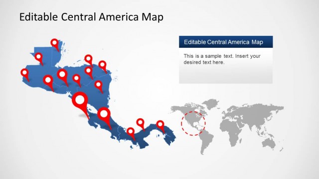
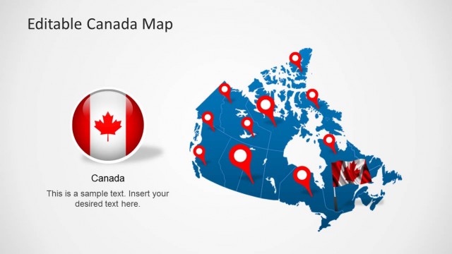
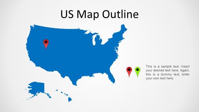
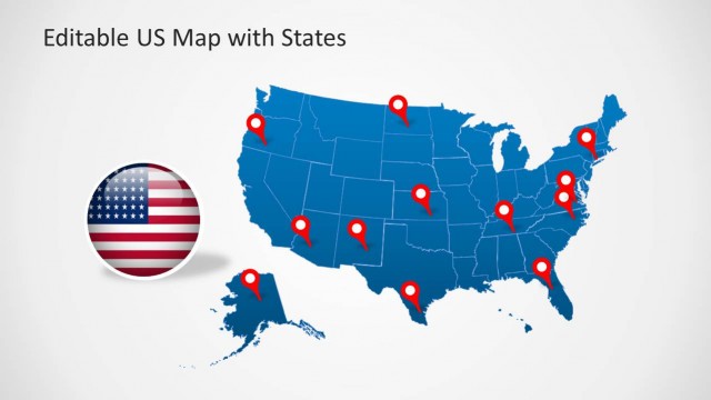
Download North America Map Template for PowerPoint with maps for all North American countries laid out with precision.
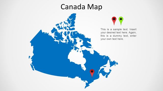
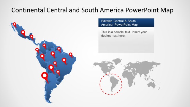
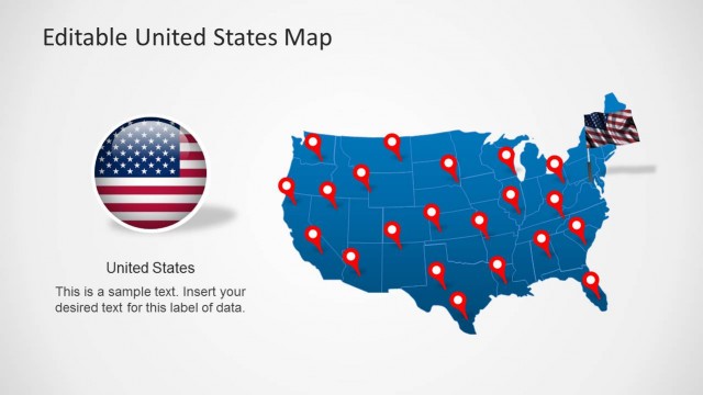
This template provides different layouts with a complete map of North America, which can be edited to separate maps for any individual country in the North American region, including; Canada, United States, Mexico, Cuba, Bahamas, Costa Rica, Honduras, Nicaragua, Panama and others.
You can also download specific maps for North American countries from our collection of North America Map Templates for PowerPoint.
What’s inside this template
Example presentation scenarios
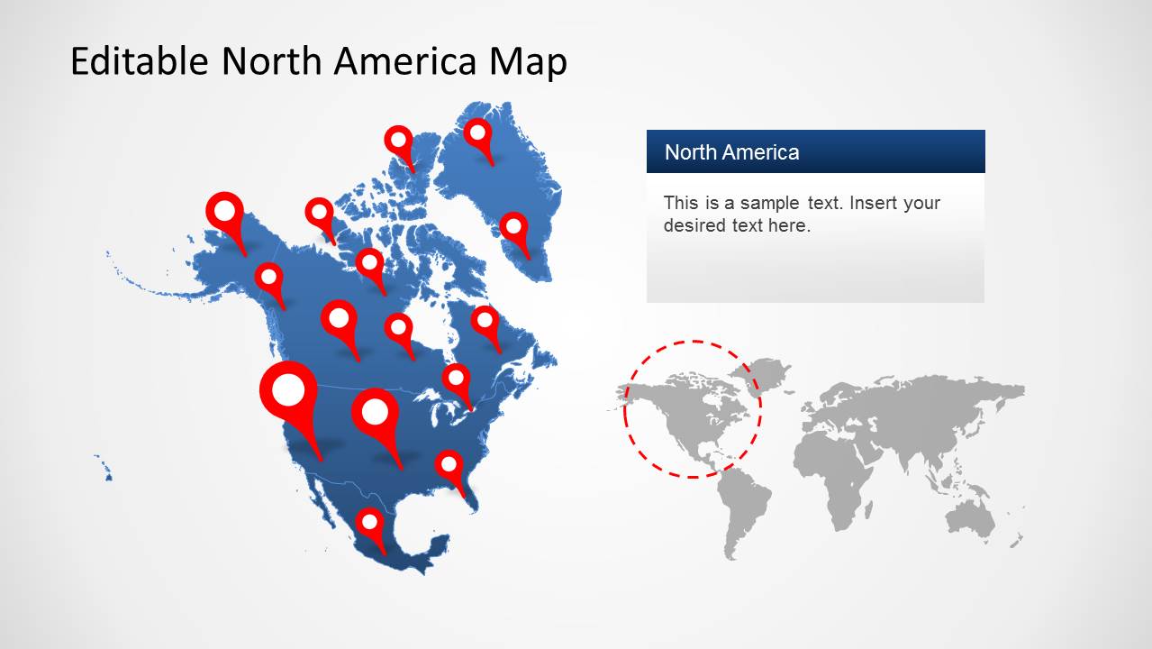
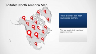
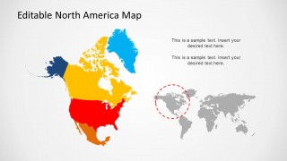
- A sales leader can show market coverage across Canada, the United States, Mexico, and nearby regions using the color-coded country map and red location pins.
- A logistics planner can explain a delivery or travel network with the yellow route path map and airplane markers across North America.
- A consultant can brief executives on regional expansion by pairing the world locator map with the large North America map and right-side text panel.
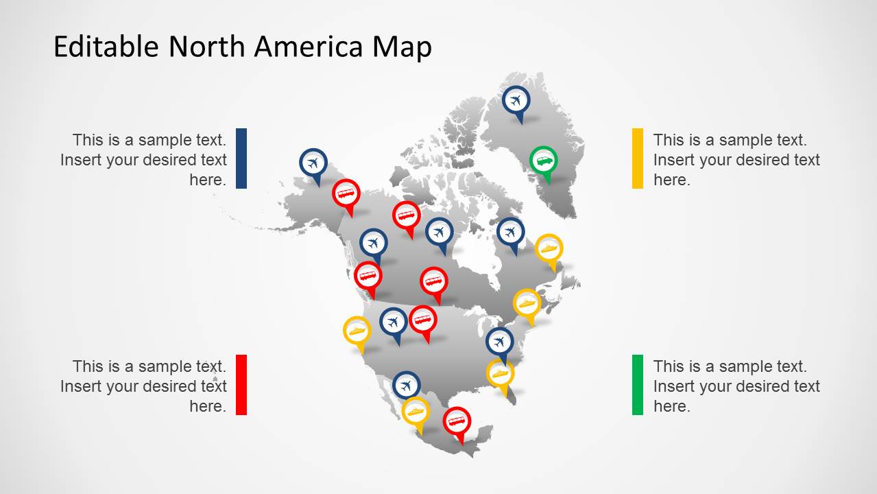
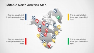
- An educator can introduce North American geography by using the gray pin map and surrounding callouts to identify important cities, countries, or transport hubs.
Features
- 100% editable presentation template
- Compatible with Microsoft PowerPoint and Google Slides
- 16:9 aspect ratio slides
- Scalable vector shapes, icons and illustrations
- AI-Ready for Microsoft Copilot and Claude
- Instant access and download
Frequently asked questions
Q: How should I present many map pins without overwhelming the audience?
A: Start with the locator slide to establish geographic context, then move to a cleaner pin or callout slide for the main points. Group pins by color, priority, or region instead of explaining every marker individually. Use the editable text panels to name only the locations that change the decision or support the key takeaway.
Q: Who is this map template best suited for?
A: This template fits presenters who need to explain where activity happens across North America. Sales managers can map territories, logistics teams can show route paths, consultants can frame regional opportunity, and educators can identify countries or hubs. It is most useful when geography is the organizing idea rather than a background decoration.
Q: Why do the slides combine maps with pins, routes, and locator views?
A: The locator view answers the audience's first question: where are we looking? Pins then make individual places visible, while route lines show movement or connection between places. The color-coded country slide adds a segmentation metaphor, helping the presenter shift from single locations to larger regional patterns.



North America Map Template for PowerPoint
5-slide presentation template for North America maps, location pins, and regional highlights
North America Map Template for PowerPoint is a 5-slide map presentation template for regional business, logistics, education, or market coverage presentations. Visible layouts include a locator world map, route path map, pin location map, icon callout map, and color-coded country map. It is prepared for Microsoft PowerPoint and Google Slides.
- Category
- Maps
- Rating


 Loading...
- Aspect ratio
- 16:9
- Item ID
- 6378-01
- Colors
 Microsoft PowerPoint
  Microsoft Copilot
  Claude for PowerPoint
 Other formats supported
Subscribe today and get immediate
access to download our PowerPoint templates.