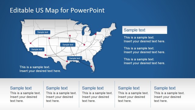
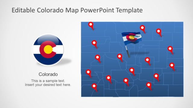
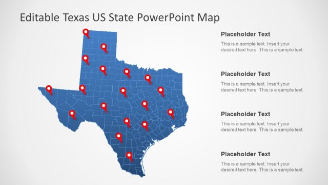
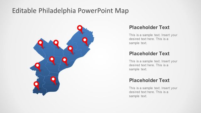
United States Map Template for PowerPoint is a highly customizable PowerPoint Map Template which provides a complete map of the US, along with editable content which can be moved across existing and new slides.
Whether you require presenting a marketing plan of US consumers, a business strategy, a history lesson or any other type of topic where the map of the United States may be required, this template can help you create slides that are easy on the eyes and yet eye-catching.
Also check out our collection of United States Map Templates which provide diverse slide designs for different areas from within the US.
What’s inside this template
Example presentation scenarios
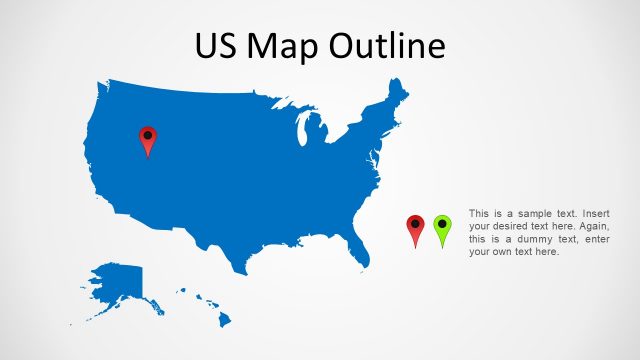
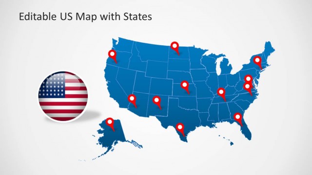
- A sales manager can present territory coverage by placing branch or customer markers on the full US map with red location pins.
- A marketing presenter can explain regional campaign focus by using the gray US map with star marker and the text callout panels for supporting notes.
- An educator can introduce US geography or state recognition by showing the national map first and then moving to the Washington state spotlight layout.
- An operations leader can brief executives on service areas by combining the multi-pin map with the two stacked text panels for regional status updates.
Features
- 100% editable presentation template
- Compatible with Microsoft PowerPoint and Google Slides
- Scalable vector shapes, icons and illustrations
- AI-Ready for Microsoft Copilot and Claude
- Instant access and download
Frequently asked questions
Q: How should a presenter structure a message with this US map template?
A: Start with a national view to orient the audience, then use pins or a star marker to identify the exact places that matter. Follow with a state spotlight when one location needs explanation. Keep labels short and use the side panels for context such as market notes, service coverage, or regional priorities.
Q: What type of presentation is this map deck best suited for?
A: This deck fits presenters who need to explain where activity is happening across the United States. Sales, marketing, operations, education, and civic presenters can use the full map, multi-pin layouts, and Washington state focus to show coverage, expansion plans, classroom topics, or location-based decisions without building a map from scratch.
Q: Why do the pins, flag badges, and state zoom layouts help communication?
A: The pins create immediate visual anchors for specific locations, while the flag imagery signals a US-focused topic before the audience reads any text. The zoom from the national map to Washington turns a broad geography into a focused story, helping the presenter move from context to a specific example or decision point.


United States Map Template for PowerPoint
8-slide PowerPoint map template with US state maps, pins, flag badges, and callouts
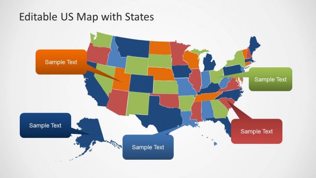
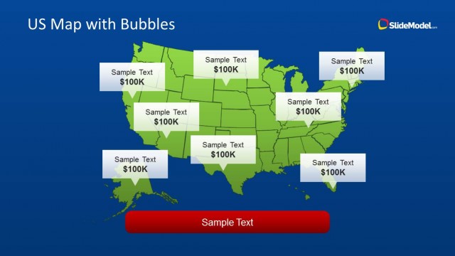
United States Map Template for PowerPoint is an 8-slide US map deck with editable national and state map layouts. Visible designs include a full US map with location pins, a gray map with flag and star marker, a Washington state spotlight, and text callout panels for regional notes.


 Loading...
 Microsoft PowerPoint
 Microsoft Copilot
 Claude for PowerPoint
Other formats supported
Subscribe today and get immediate
access to download our PowerPoint templates.