178+ Editable Maps for PowerPoint Presentations by SlideModel
Collection of PowerPoint Maps and Map outlines that you can use in your presentations. Download editable maps for PowerPoint presentations with customizable states that helps you prepare awesome presentations with sales by country or territory.
Featured Templates
Worldmap & Map Pointers for PowerPoint
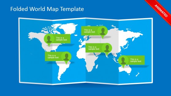
Folded World Map PowerPoint Template
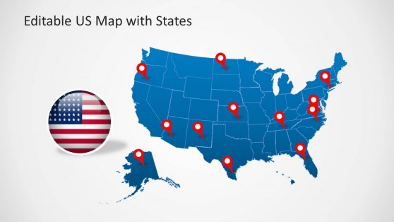
US Map Template for PowerPoint with Editable States

In this section, you can find editable maps for PowerPoint presentations, including a variety of map templates and outlines to produce high-quality presentations with maps.
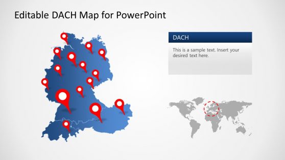
The editable maps can be used in any presentation where a map should be displayed. This includes a business presentation to pinpoint stores in a map and a sales presentation to show the sales per region or demographic information in a social marketing presentation.
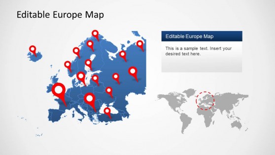
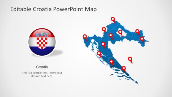
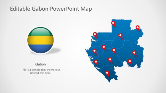
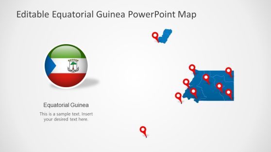
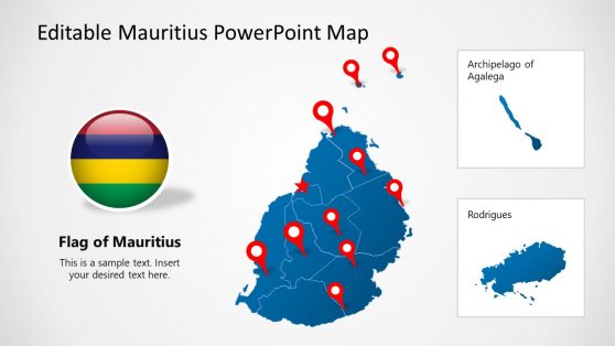
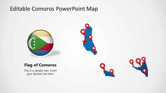
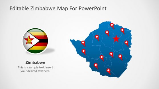
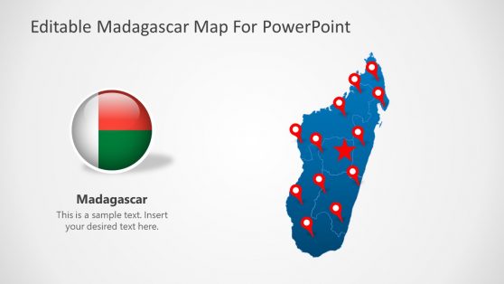
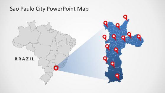
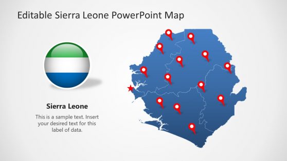
The editable maps for PowerPoint (and also compatible with Google Slides) are available per country, world maps, global regions and continents. Some country maps are also divided by states and regions, or even by counties.
If you don’t find a particular PowerPoint map in this section, feel free to contact our support and help you.
What is a PowerPoint Map?
PowerPoint maps are map illustrations that can be used in presentations. Maps can help to visually illustrate demographic data in your presentations by coloring, formatting, or highlighting individual countries, regions, or continents.
The editable PowerPoint maps can be used in various presentations, including business presentations (sales, business cases, strategy presentations, pitch decks), or even in educational presentations.
How to Edit a Map in PowerPoint?
By using the pre-defined map templates by SlideModel, presenters and designers can easily insert and edit maps in PowerPoint. Whether it is a business presentation to show the sales by region or countries or explain the geography in an educational presentation, the 100% editable maps for Microsoft PowerPoint provided by SlideModel can help to save time.
To edit a map in PowerPoint:
- Get a SlideModel account and subscribe.
- Browse the map templates and content catalog to find the map you need (or contact support if you cannot find a specific map)
- Download the editable map as a .pptx file and open the map template in PowerPoint.
For example, let’s say you are preparing a business presentation with a global reach slide, then you can download one of our world map templates for PowerPoint and use the markers to pinpoint specific locations.
Alternatively, if your oversee business is preparing to launch new stores in a specific country (let’s say India), then you can download the editable India map from our catalog and use it to finish your business slides highlighting specific regions.
How can a Map be used in a PowerPoint Presentation? (Examples)
Maps can be used in a wide variety of ways. Here are a few examples of potential applications:
- Sales Presentations. Use maps to present your sales reports by region, countries or show the sales territories.
- Presentations on Logistics. Use maps to present or define routes transport routes either by land, sea or air.
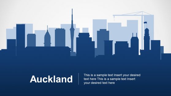
- Creative slides and designs. You can use a map as a creative element for depicting a territory or location within your slide and content, be it a specific location or depict a global presence.