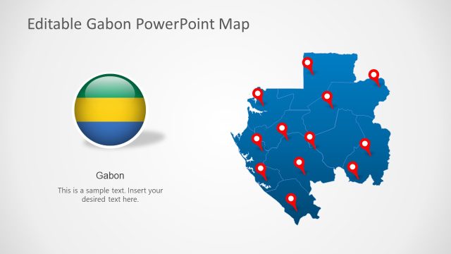
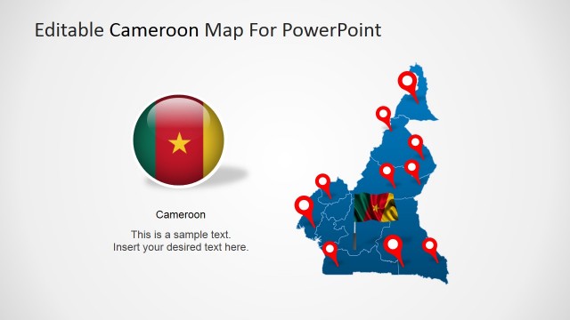
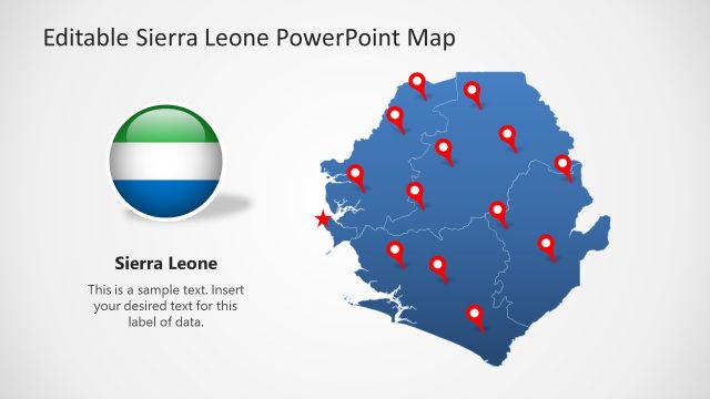
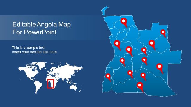
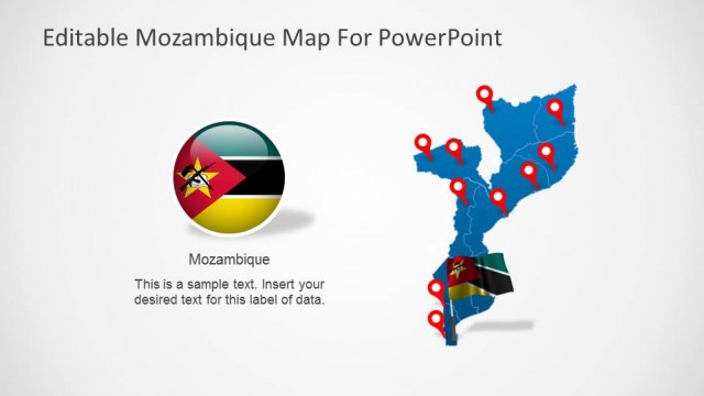
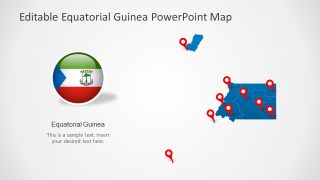
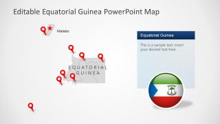
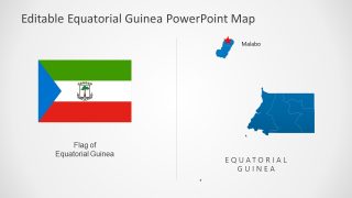
Editable Equatorial Guinea PowerPoint Map
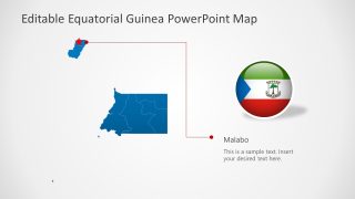
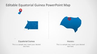
Our Editable Equatorial Guinea PowerPoint Map is a featured PowerPoint template for presenting information and details about Equatorial Guinea and its volcanic islands. Being famous for its exotic biodiversity and oil minerals, this country is also recognized for its architecture. This country is located on the western coast of central Africa and shares borders with Gabon and Cameroon. It has a mainland Rio Muni and three Islands: Bioko, Annobon, and Corisco. The capital city Malabo is located in the Gulf region Bioko and serves as a hub for most economic and administrative activities. The map of Equatorial Guinea shows the mainland region and three small islands. We have prepared this 100% editable Guinea map template with location pointers and other shapes to discuss this country’s cultural and geographical aspects. Professionals can use this template with all PowerPoint versions, Google Slides, and Keynote.
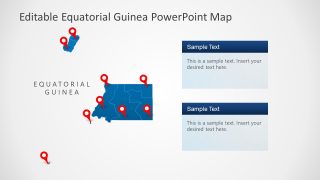
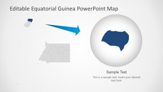
This Editable Equatorial Guinea PowerPoint Map begins with a couple of slides showing the map of the country with location markers and the country’s flag in a circular shape. Users can add relevant descriptions about the flag or different Islands. Following the general introduction slides, this template contains individual slides for information about the flag and the capital city Malabo. Professionals are also provided slides with text boxes and moveable location pins to add presentation points. The last two slides focus on Bioko Island with the capital city Malabo. These slides can help understand the geographical features of the capital city and its connection with the mainland. So, business professionals and students can prepare comprehensive presentations about Equatorial Guinea and its surroundings using this editable map PowerPoint template. The slides are ideal for educational and professional presentations. Download and try it now!


You must be logged in to download this file.
DOWNLOAD- Category
- Maps
- Rating

 Loading...
- Size
- 16x9
- Item ID
- 20398-01
- Colors
Subscribe today and get immediate
access to download our PowerPoint templates.