Editable Gabon PowerPoint Map
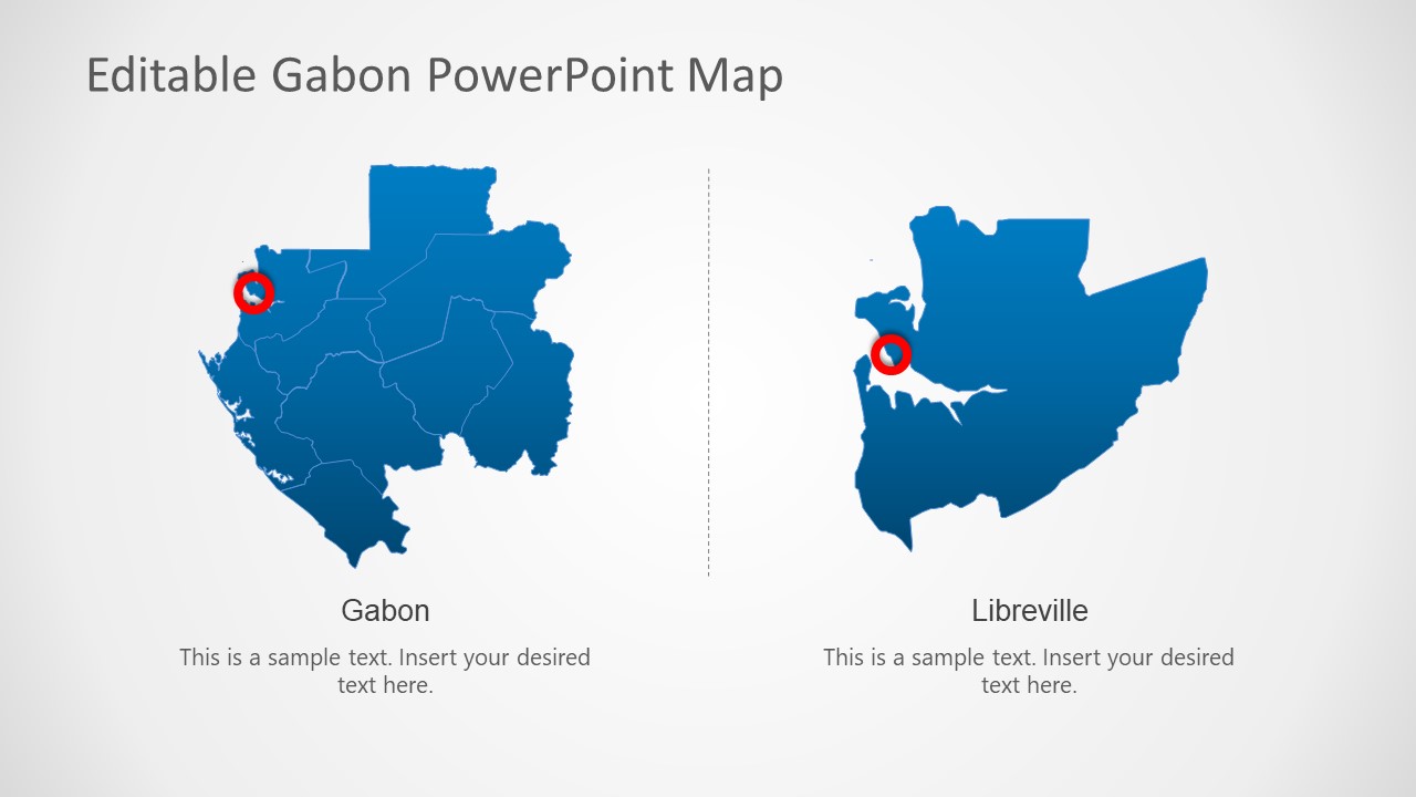
The Editable Gabon PowerPoint Map is a template featuring the editable map of the Central African country Gabon. Gabon, officially known as the Republic of Gabon, became independent in 1960. It is located in central Africa along the Atlantic coast, and its neighboring countries include the Republic of Congo, Cameroon, and Equatorial Guinea. This country is famous worldwide for its dense forests, beaches, and reserves of oil & minerals. Libreville is the largest city of Gabon which acts as its capital and the center for most political, social, and economic activities. The map of Gabon has an enlarged rectangular shape with slight bends. We have created this 100% editable Gabon PowerPoint template to discuss its features, scientific or geographical details, or for educational purposes. Professionals can customize this presentation template with all PowerPoint versions, Google Slides, and Keynote.
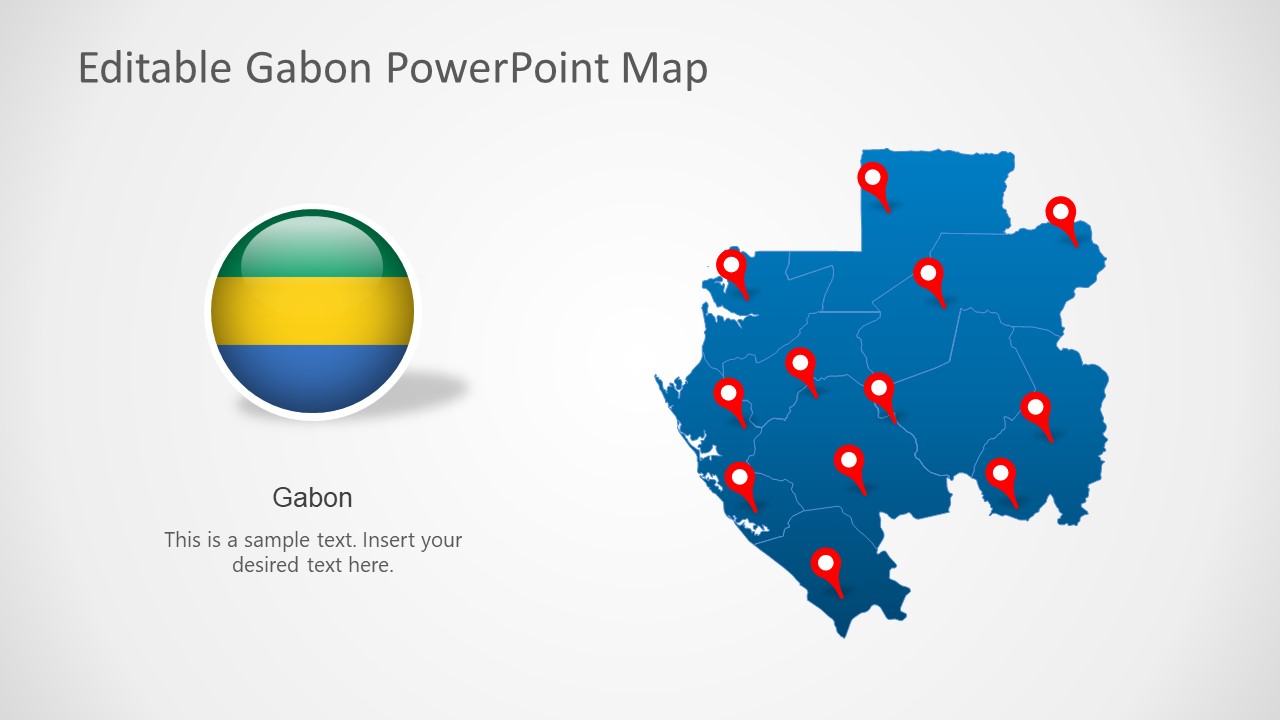
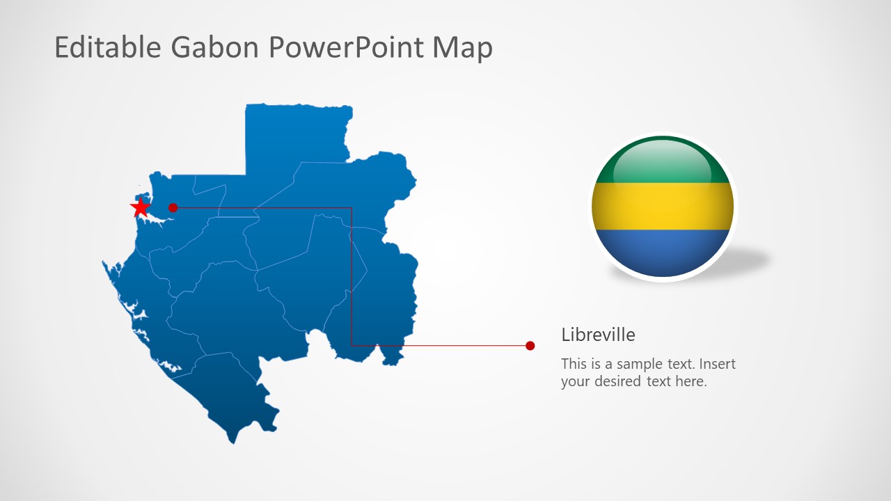
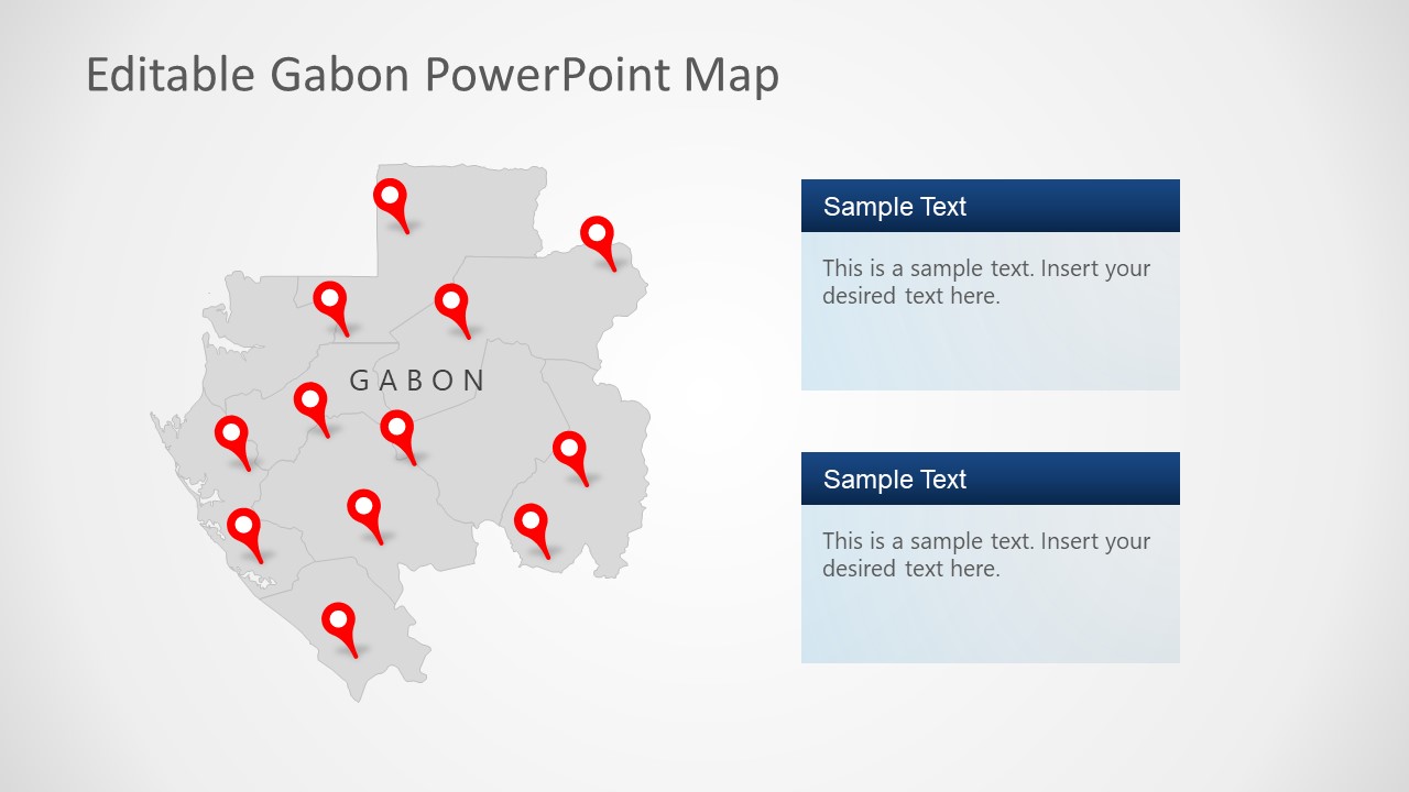
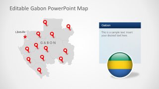
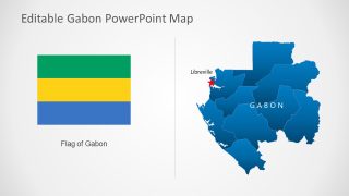
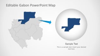
This Editable Gabon PowerPoint Map carries seven template slides with multiple variations. The first slide has a blue-colored Gabon map with red location pointers. It also carries a circular shape with three colors of its official flag. The second slide carries greyed map with pins and indicates the location of its capital with a star shape. Users can mention the relevant details using the provided text box. The following two slides of the template discuss the capital city Libreville. The blue-colored map on these slides has red pointers on the capital city location. Likewise, the next slide highlights the nine states of Gabon with red location pins. Presenters can discuss the location of Libreville using the next slide, which focuses on the state.
The last slide of this Gabon map template highlights one of its states along Cameroon’s border. Presenters can use each slide for their required use cases and add relevant descriptions where required. The colors, fonts, and backgrounds can be modified. The location pins can be moved and placed in the desired locations for discussion. So, download and use this editable map template now!


You must be logged in to download this file.
DOWNLOAD- Category
- Maps
- Rating

 Loading...
- Size
- 16x9
- Item ID
- 20397-01
- Colors
Subscribe today and get immediate
access to download our PowerPoint templates.