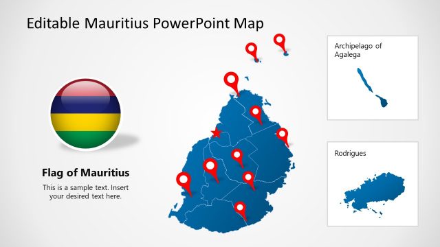
Editable Madagascar PowerPoint Map
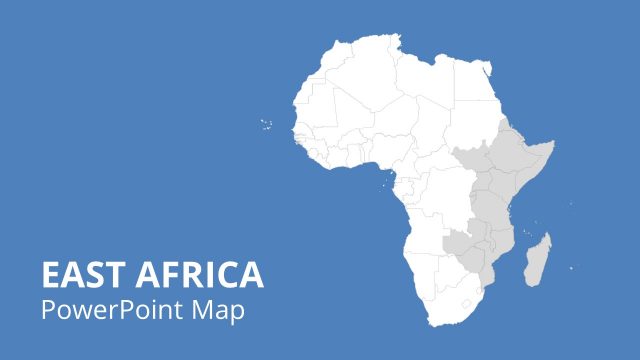
The Editable Madagascar PowerPoint Map is an outline map template representing the geographical location of the African country, Madagascar. It is an island located in the Indian ocean, 400 km off the coast of East Africa. This PowerPoint Map presents the regional locations of different cities or areas within Madagascar using different visuals. Presenters can use this editable PowerPoint template for discussing featural highlights of Madagascar.
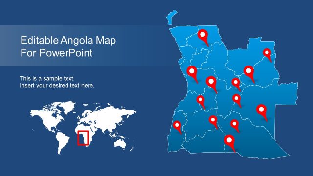
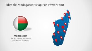
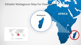
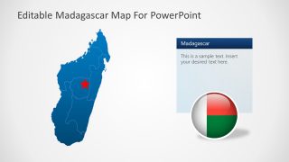
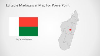
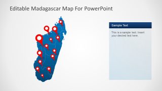
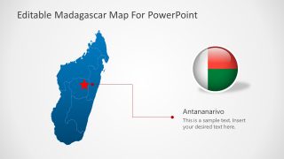
The first slide has a general design that contains a rounded flag and a giant footprint shape map of Madagascar. The map shows several location markers and a star highlighted region. Users can arrange these pointers according to their discussion. Further, the second slide shows the geographical position of Madagascar on the African Map by zooming in on Island. Also, a small World map is displayed on the bottom left of the slide showing the exact location of Madagascar in the World. The following two slides are designed to discuss some pinpoint areas within the country. These contain the map figure having a star shape label on it. Lastly, the ending slide contains a colored Madagascar map with a particular highlight on the location of the capital city, Antananarivo.
The Editable Madagascar PowerPoint Template has many practical applications. For instance, tourism agents and analysts can use this layout to demonstrate various features of cities and tourism points in Madagascar. Also, they can elaborate on different attractions of the country before the tourists. This template can help other professionals explain people’s social concepts and thoughts. The non-profit organizations, for example, can use this editable map to mark the areas affected by disasters so they can devise their support plans accordingly. The companies can develop and discuss location-based marketing campaigns using this template.
The PowerPoint objects like map pins, graphs, and silhouette shapes are changeable. The presenters can modify the arrangement and colors according to their theme. This editable PowerPoint map can be altered according to the requirements in comparison to map images. It is compatible with editing with PowerPoint and Google Slides.


You must be logged in to download this file.
DOWNLOAD- Category
- Maps
- Rating

 Loading...
- Size
- 16x9
- Item ID
- 20133-01
- Colors
Subscribe today and get immediate
access to download our PowerPoint templates.