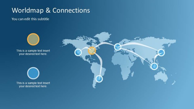
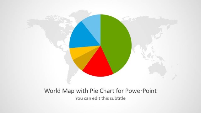
Folded World Map PowerPoint Template is a presentation design containing a folded world map clipart for PowerPoint presentations that you can download and use in any presentation requiring slides related to internationalization, make a slide on global reach or business global scope or a PowerPoint slide on scaling a business.
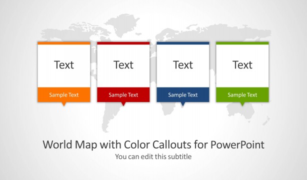
You can download this world map PowerPoint template containing an editable slide of a world map and subtle animations with callouts or bubbles coming to the slide from the top. Also, this world map template with editable maps can be used to make sales & marketing PowerPoint presentations and help to present the sales by country or region.
What’s inside this template
Example presentation scenarios
- A sales leader can present territory coverage by placing callout bubbles on the folded world map and using continent highlight slides to explain regional priorities.
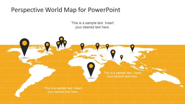
- A strategy consultant can explain international expansion options with the numbered location marker slide, then move to continent-specific slides for market context.
- An operations manager can brief executives on global facilities or distribution regions using the folded map panels and right-side text boxes for location notes.
- A marketing team can show campaign reach across continents using the angled continent labels and color-coded pins to connect regions with audience segments.
Features
- 100% editable presentation template
- Compatible with Microsoft PowerPoint and Google Slides
- 16:9 aspect ratio slides
- Scalable vector shapes, icons and illustrations
- Ready with Animations & Transitions in PowerPoint
- AI-Ready for Microsoft Copilot and Claude
- Instant access and download
Frequently asked questions
Q: How should a presenter structure a global reach story with this map deck?
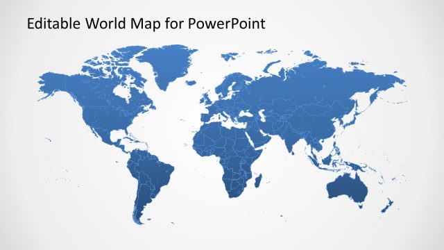
A: Start with the full folded world map to orient the audience, then use the numbered marker slide to identify the main regions or locations. Follow with continent highlight slides for details, limiting each text panel to one decision, metric, or message. Close with the simplified blue map layout as a clean summary.
Q: Who benefits most from using this template instead of a generic world map slide?
A: This template fits teams that need to make geography central to the message, such as sales, strategy, marketing, logistics, or international operations. The folded map metaphor makes global coverage feel like a planning surface, while callouts and continent panels let the presenter move from broad footprint to regional explanation.
Q: Why does the folded map design help explain international information?
A: The folded paper map creates visible panels that naturally divide the world into digestible zones, which helps prevent a flat map from feeling crowded. Colored pins, label strips, and highlighted continents create a clear visual hierarchy, so the audience can separate location, region, and explanation without reading every detail at once.


Folded World Map PowerPoint Template
12-slide presentation template with folded world map, callouts, continent highlights, and location markers
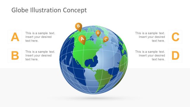
Folded World Map PowerPoint Template is a 12-slide map presentation template for showing global reach, regional activity, and market coverage. Visible layouts include a folded world map with callout bubbles, numbered location pins, continent label strips, and continent highlight slides with text panels. It is for PowerPoint and Google Slides.
- Category
- Maps
- Rating

 Loading...
- Aspect ratio
- 16:9
- Item ID
- 6675-01
- Colors
 Microsoft PowerPoint
 Microsoft Copilot
 Claude for PowerPoint
Other formats supported
Subscribe today and get immediate
access to download our PowerPoint templates.