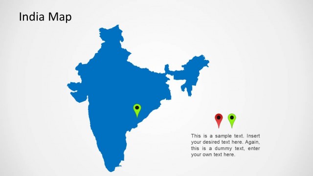
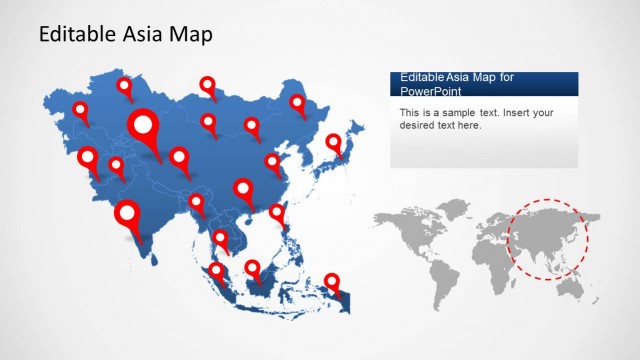
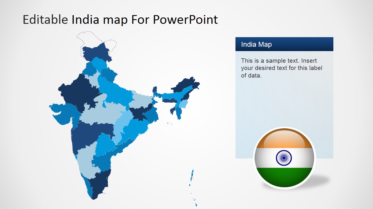
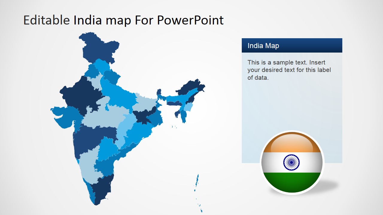
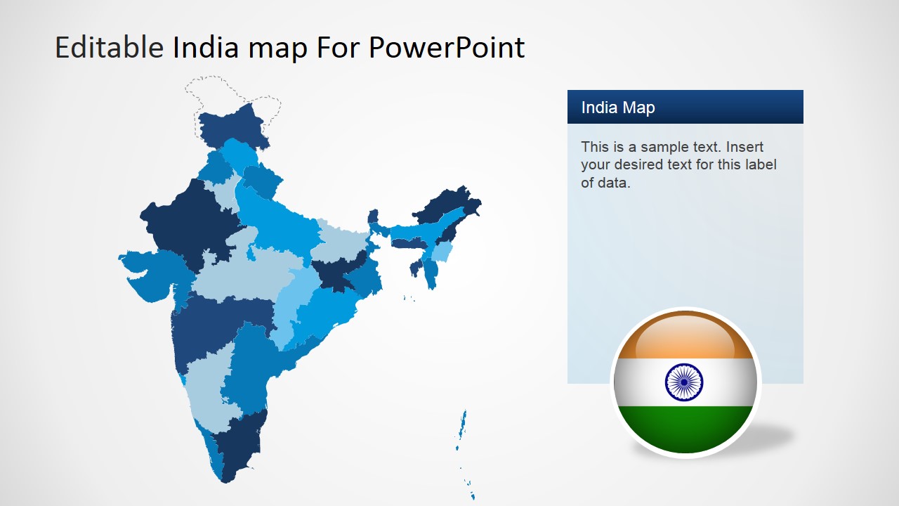
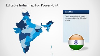
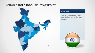
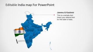
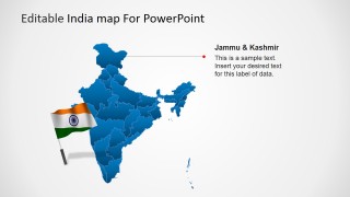
Editable India Map Template for PowerPoint is a presentation template for Microsoft PowerPoint containing useful slide designs with Map shapes that you can use to prepare presentations on demographics as well as other presentation needs. Country sales managers can use this presentation template to prepare sales PowerPoint presentations with detailed information on sales by states.
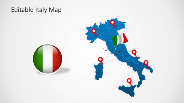
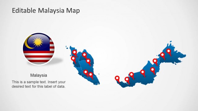
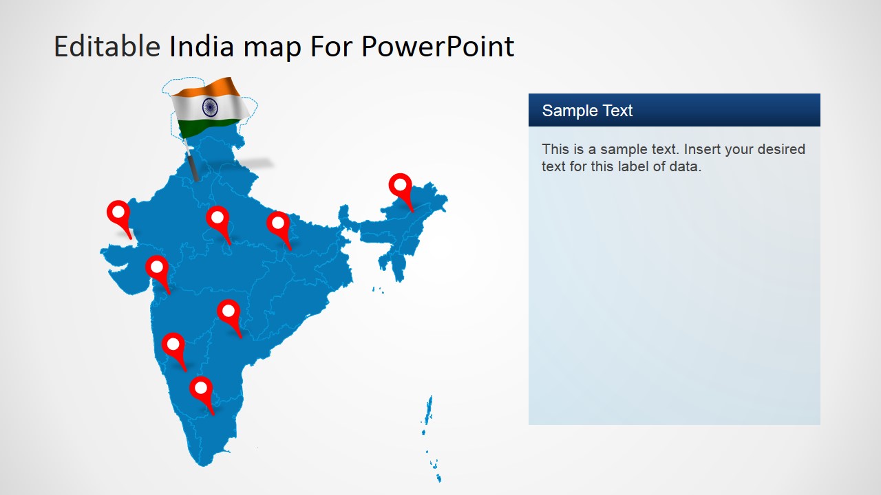
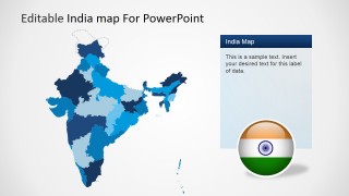
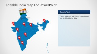
This India Map template for PowerPoint also comes with useful flags and badges that you can use to enhance your presentations. Badge and flags can be positioned in any desired location of the slide design.
What’s inside this template
Example presentation scenarios
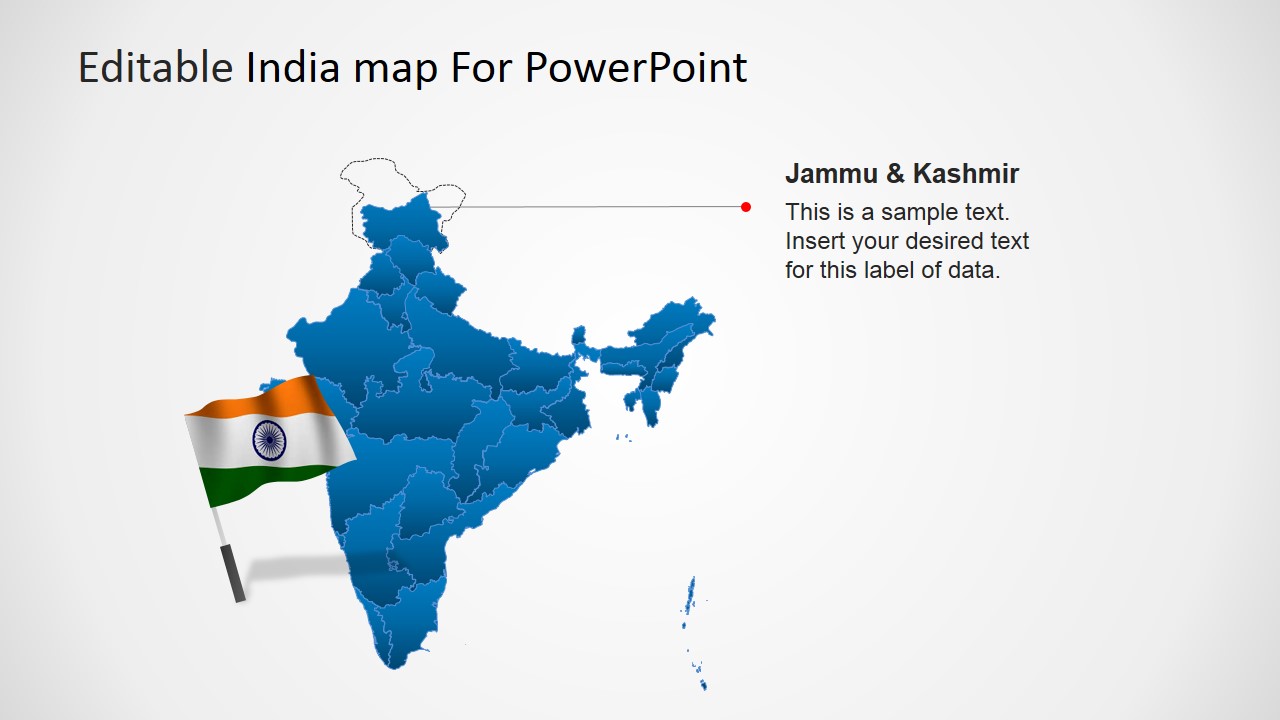
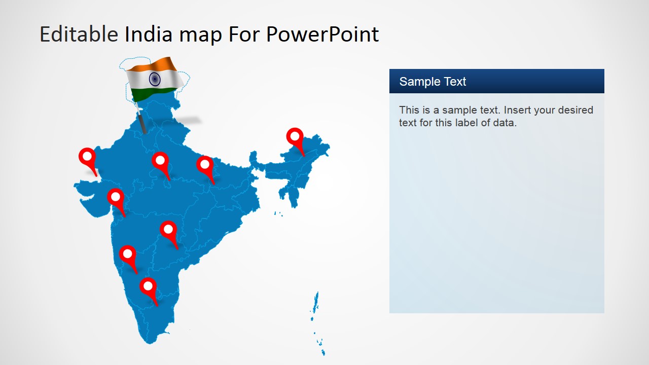
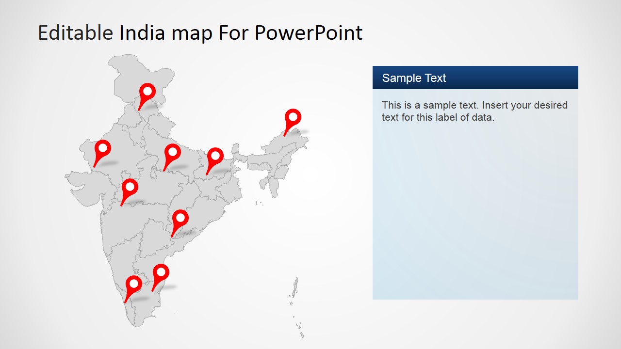
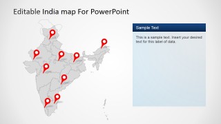
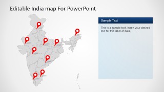
- A sales manager can present state-by-state pipeline coverage using the choropleth India maps, location-pin layouts, and editable side text panels.
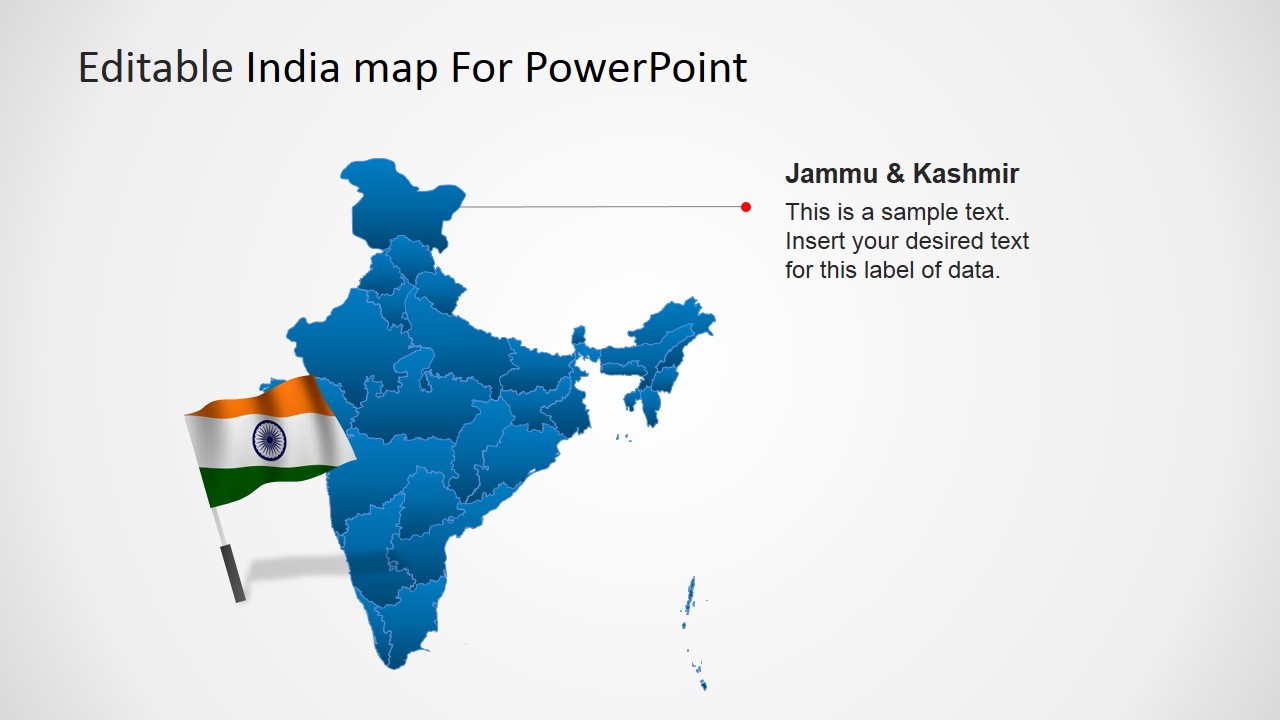
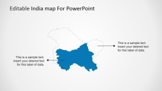
- A market analyst can explain demographic or demand patterns across India by highlighting selected states and adding notes to the state callout slides.
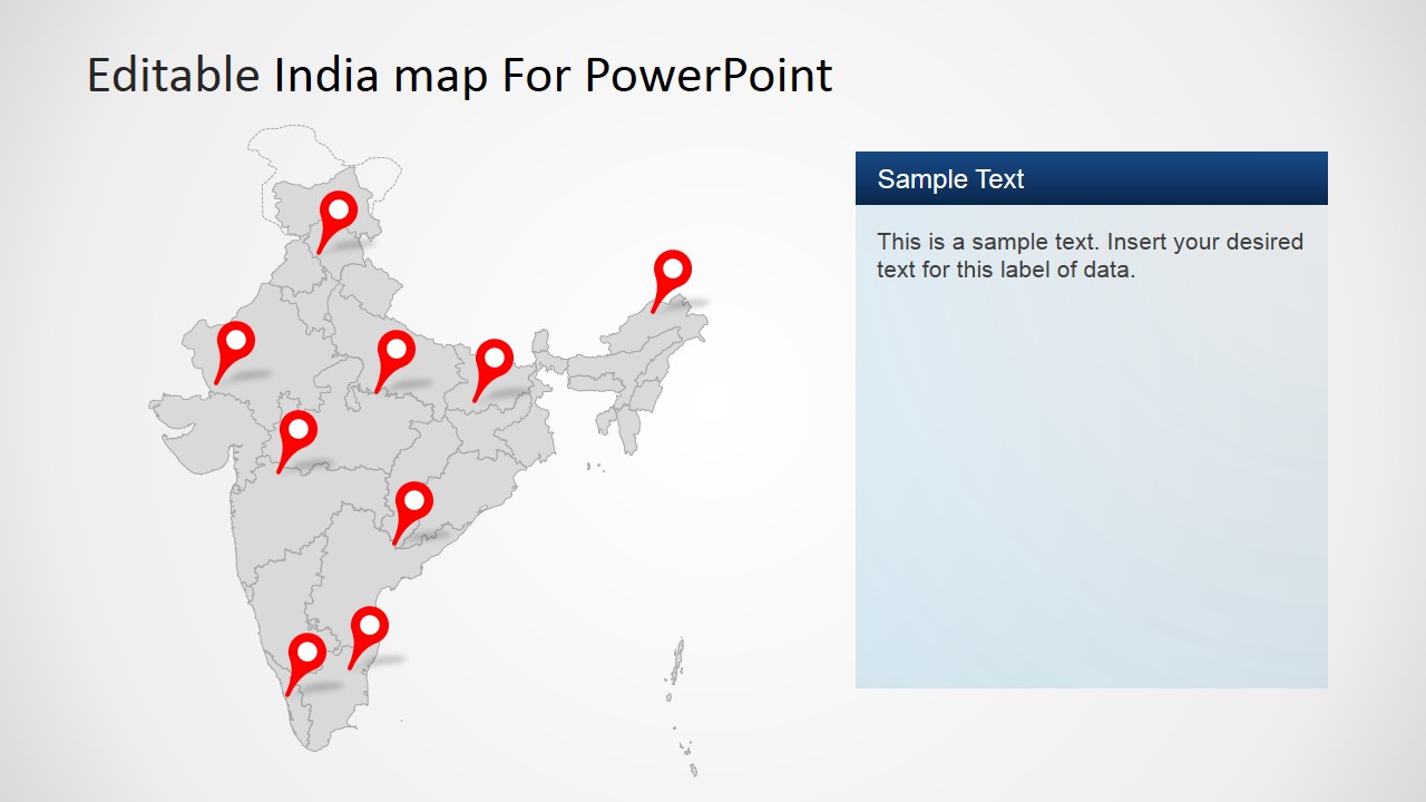
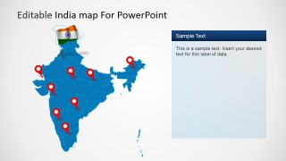
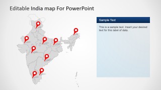
- An operations leader can show branch, depot, or service locations with the red pin maps and use the right-side panel to list status or next steps.
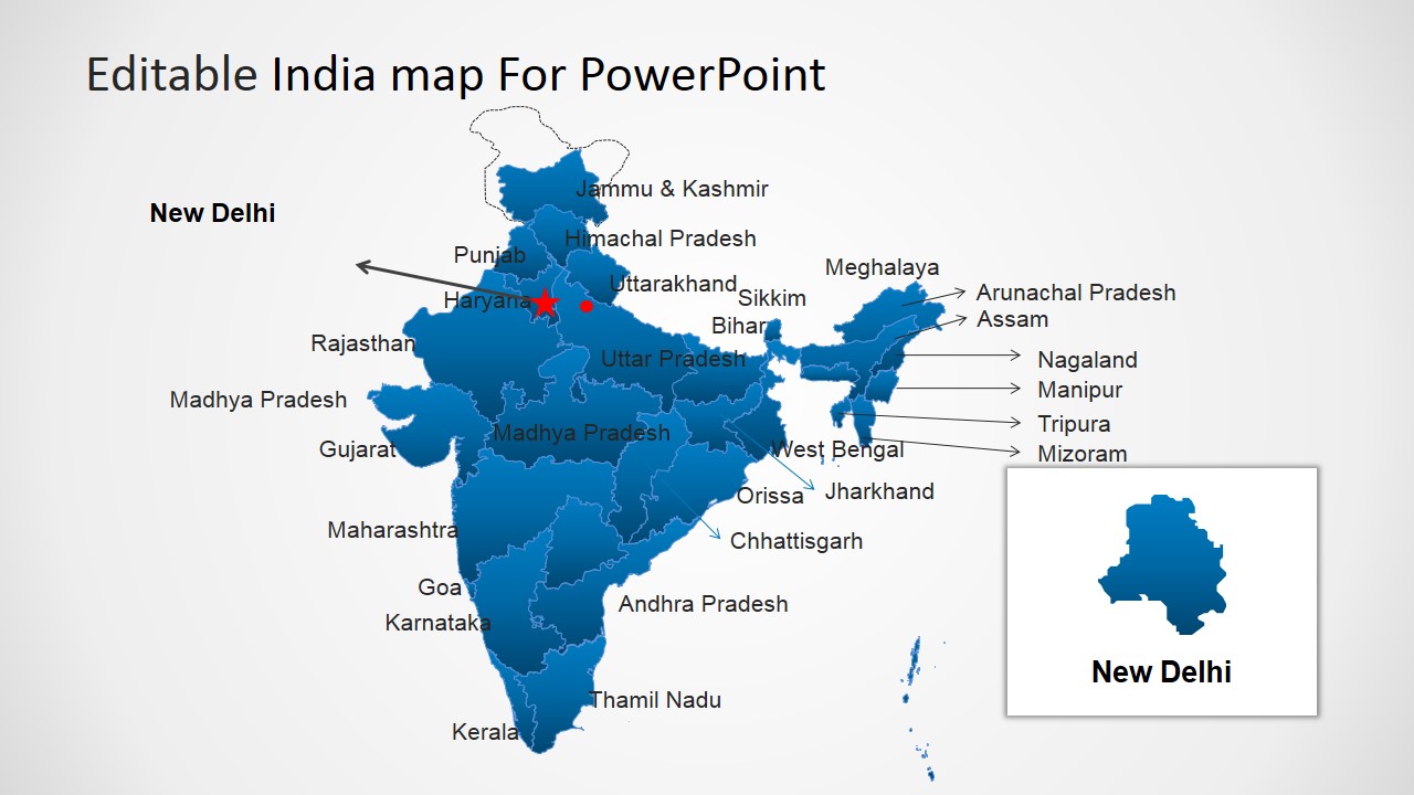
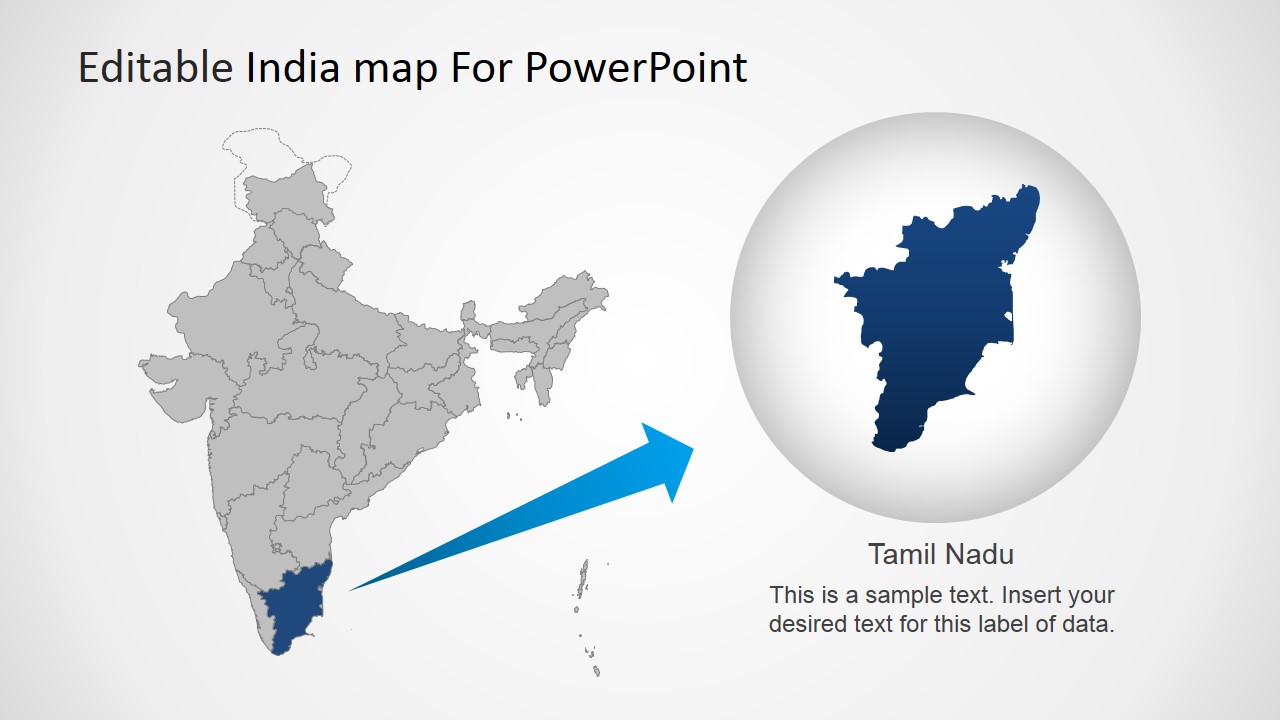
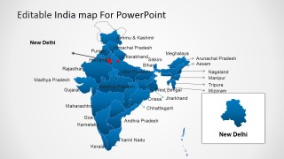
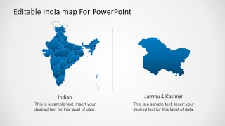
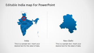
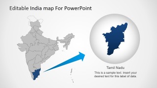
- A government or NGO presenter can orient stakeholders to target regions by using the labeled India map, New Delhi inset, and magnified Tamil Nadu layout.
Features
- 100% editable presentation template
- Compatible with Microsoft PowerPoint and Google Slides
- 16:9 aspect ratio slides
- Scalable vector shapes, icons and illustrations
- AI-Ready for Microsoft Copilot and Claude
- Instant access and download
Frequently asked questions
Q: How should a presenter structure a regional India update with this template?
A: Start with the full India choropleth map to set geographic context, then move to a labeled or highlighted state slide for the priority region. Use pin maps only after the audience understands the region, because pins work best for specific sites, offices, customers, or interventions rather than broad comparison.
Q: Who is this template best suited for?
A: This template fits presenters who need to explain activity inside India, such as sales leaders, market researchers, public sector teams, logistics planners, or regional managers. It is strongest when the message depends on where something happens, using state highlights, New Delhi insets, Tamil Nadu zooms, and multi-pin coverage maps.
Q: Why do the map highlights, pins, and flag badges work well together?
A: The deck combines three levels of geographic meaning: the full country for orientation, state highlights for focus, and red pins for precise locations. The India flag badge acts as a simple national cue, while the zoom and inset layouts reduce cognitive load when one region needs special attention.



Editable India Map Template for PowerPoint
24-slide India map presentation template for PowerPoint with state callouts, pins, and flag badges
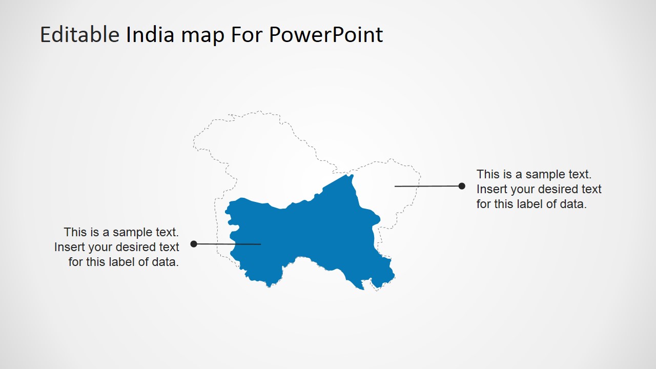
Editable India Map Template for PowerPoint is a 24-slide map presentation template for Microsoft PowerPoint and Google Slides. It includes India choropleth maps, state-highlight callouts, labeled state maps, location-pin maps, flag badges, and zoom-in layouts for presenters explaining regional sales, demographics, coverage, or state-level comparisons.
- Category
- Maps
- Rating


 Loading...
- Aspect ratio
- 16:9, 4:3
- Item ID
- 6277-01
- Colors
 Microsoft PowerPoint
  Microsoft Copilot
  Claude for PowerPoint
 Other formats supported
Subscribe today and get immediate
access to download our PowerPoint templates.