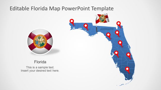
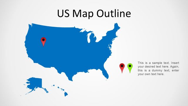
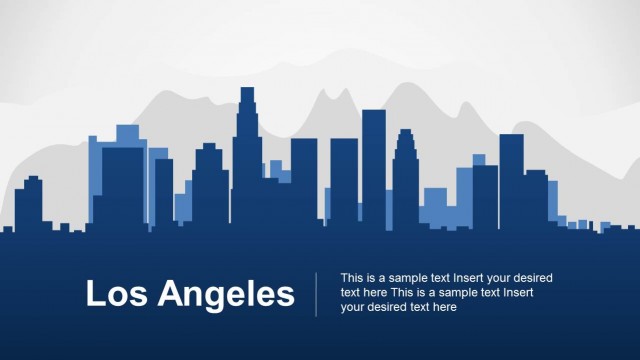
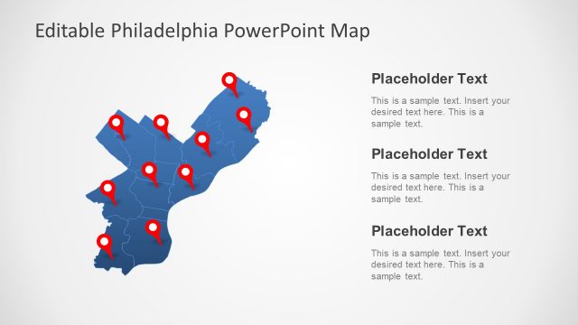
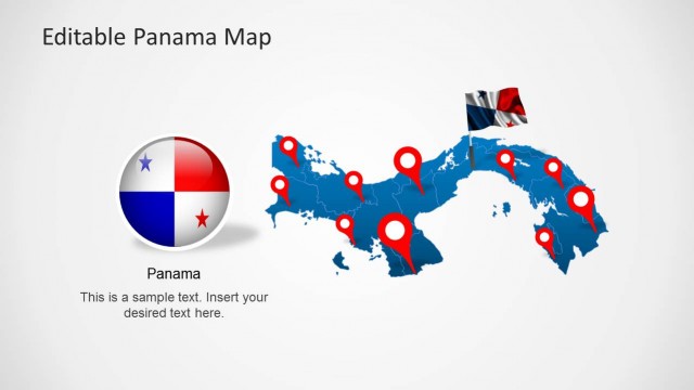
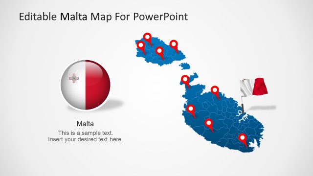
Miami PowerPoint Template is a presentation design for PowerPoint containing useful slide designs including Florida maps and Miami landscape.
The template comes with highly customizable slides, where you can edit the given maps and landscape and even change the color and overall look of the slides; using options from within the Ribbon Menu in Microsoft PowerPoint.
This US Map template for PowerPoint is compatible with both PowerPoint 2010 and PowerPoint 2013.
What’s inside this template
Example presentation scenarios
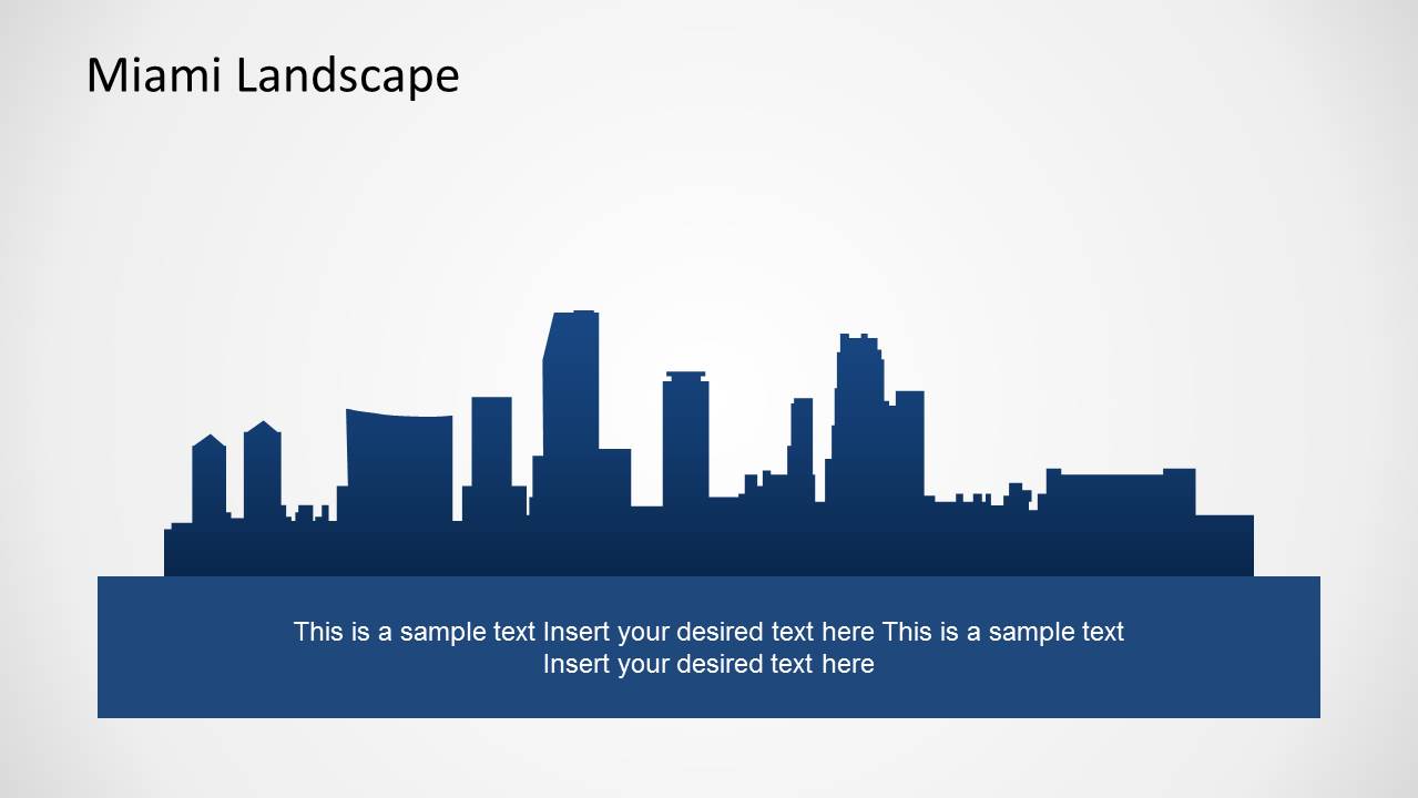
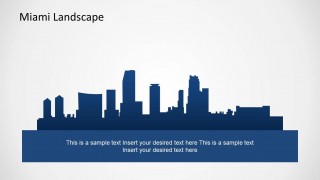
- A tourism presenter can introduce Miami as a destination by opening with the skyline cover, then using the landmark and landscape slides to frame the city's visual identity.
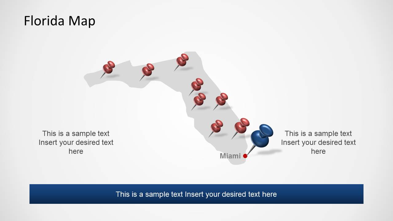
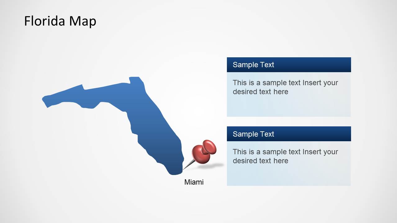
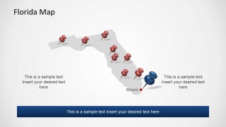
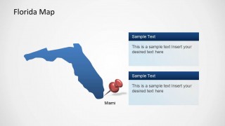
- A regional manager can brief executives on a Florida market by using the state map with pins and the Miami-highlighted detail map to show priority locations.
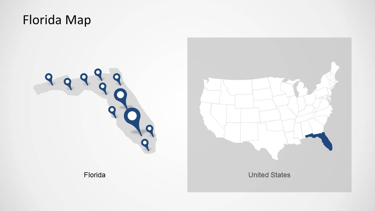
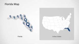
- A real estate or site selection consultant can explain geographic context with the United States locator map and the Florida map comparison slide.
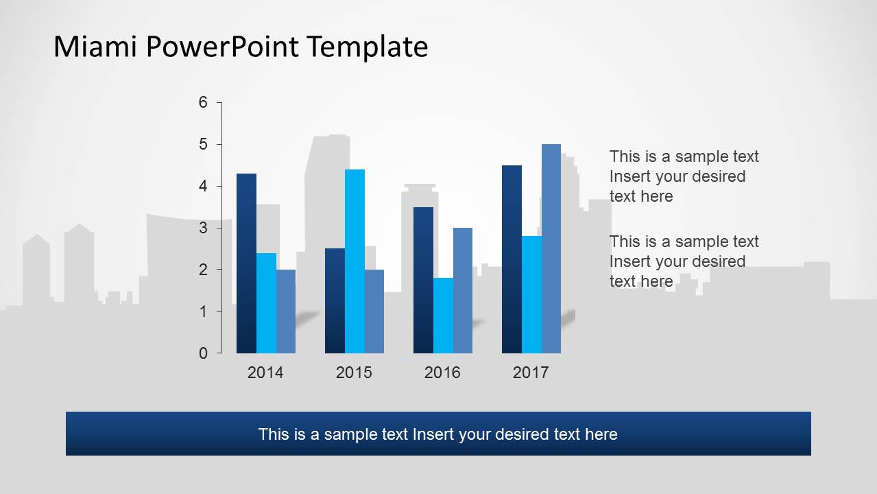
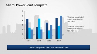
- An analyst can summarize a simple year-by-year metric with the bar chart slide while keeping the Miami skyline background tied to the topic.
Features
- 100% editable presentation template
- Compatible with Microsoft PowerPoint and Google Slides
- Scalable vector shapes, icons and illustrations
- AI-Ready for Microsoft Copilot and Claude
- Instant access and download
Frequently asked questions
Q: How should a presenter organize the story with this Miami-focused deck?
A: Start with the skyline cover to establish the city, then move to the landmark slide for recognizable identity. Use the Florida and United States locator maps to answer where Miami fits geographically. Close with the bar chart only after the audience understands the location context, so the metric feels connected to the city story.
Q: Who is this template best suited for?
A: This template fits presenters who need to explain Miami as a place, market, destination, or operating region. Tourism teams, consultants, regional managers, educators, and real estate professionals can use the maps, pins, skyline, and simple chart to make a location-centered briefing clear without building custom city graphics.
Q: Why do the skyline and map pin visuals work well for this topic?
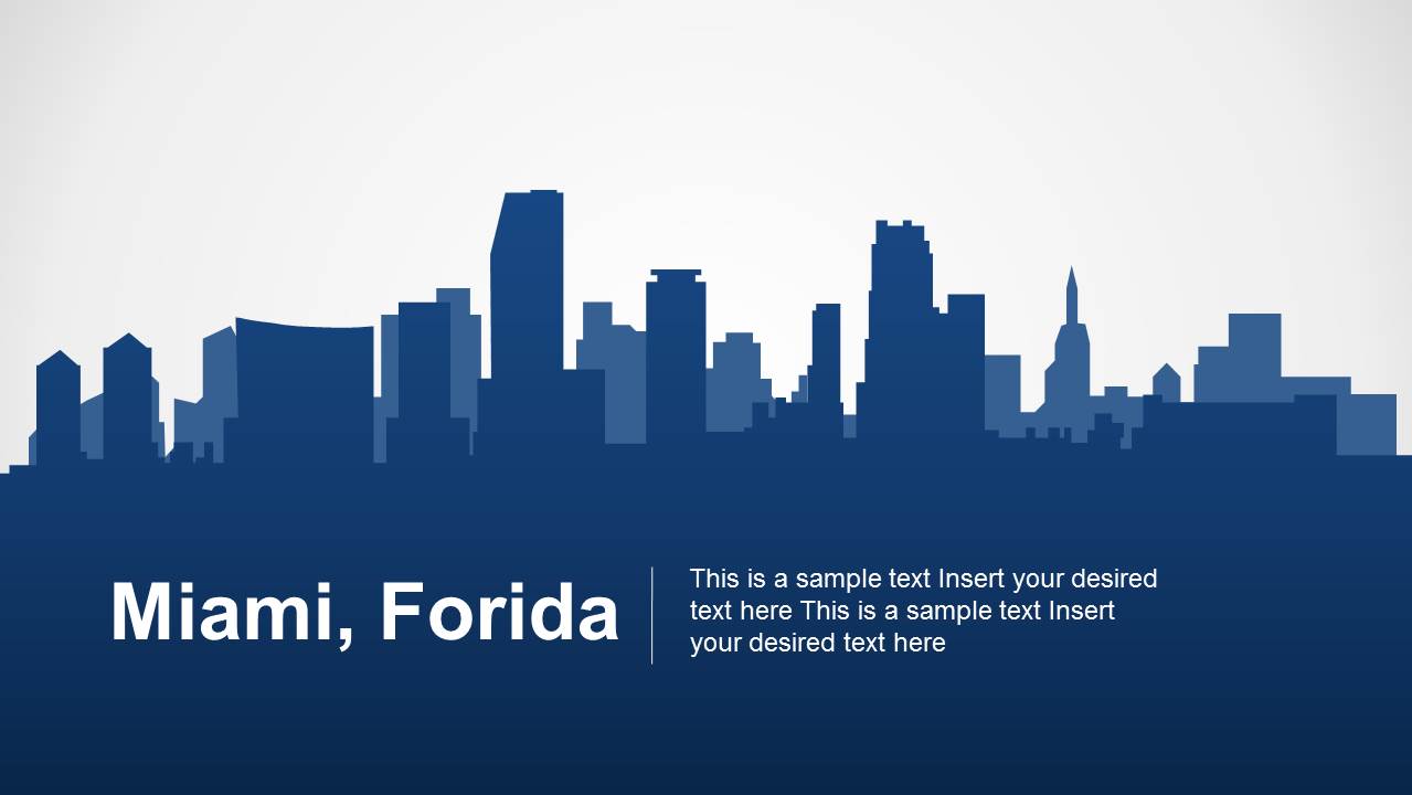
A: The skyline acts as a quick city cue, while map pins create a familiar location metaphor. That combination helps the audience switch between identity and geography: what Miami looks like, where it sits in Florida, and which points matter. The repeated dark blue bands keep captions easy to find.

Miami PowerPoint Template
7-slide Miami presentation template with Florida maps, city skyline, landmarks, and location markers
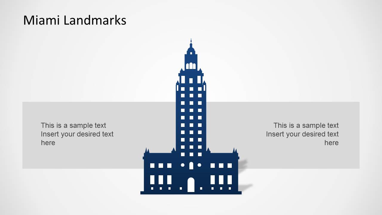
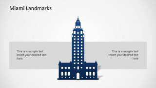
Miami PowerPoint Template is a 7-slide map and city profile deck for presenting Miami, Florida. It includes a skyline cover, Miami landmark slide, Florida location maps, a United States locator map, a skyline landscape slide, and a bar chart with editable Excel spreadsheet data in PowerPoint.


 Loading...
 Microsoft PowerPoint
  Microsoft Copilot
  Claude for PowerPoint
 Other formats supported
Subscribe today and get immediate
access to download our PowerPoint templates.