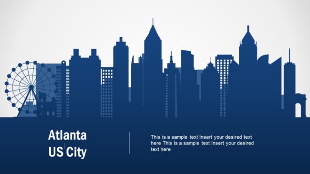
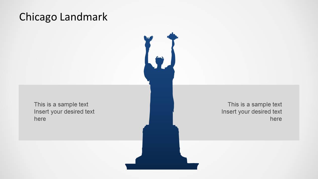
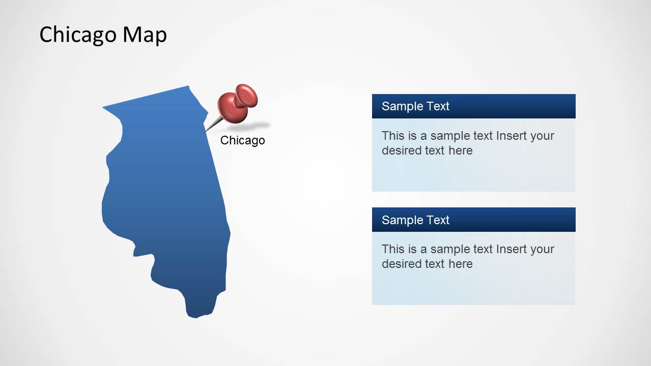
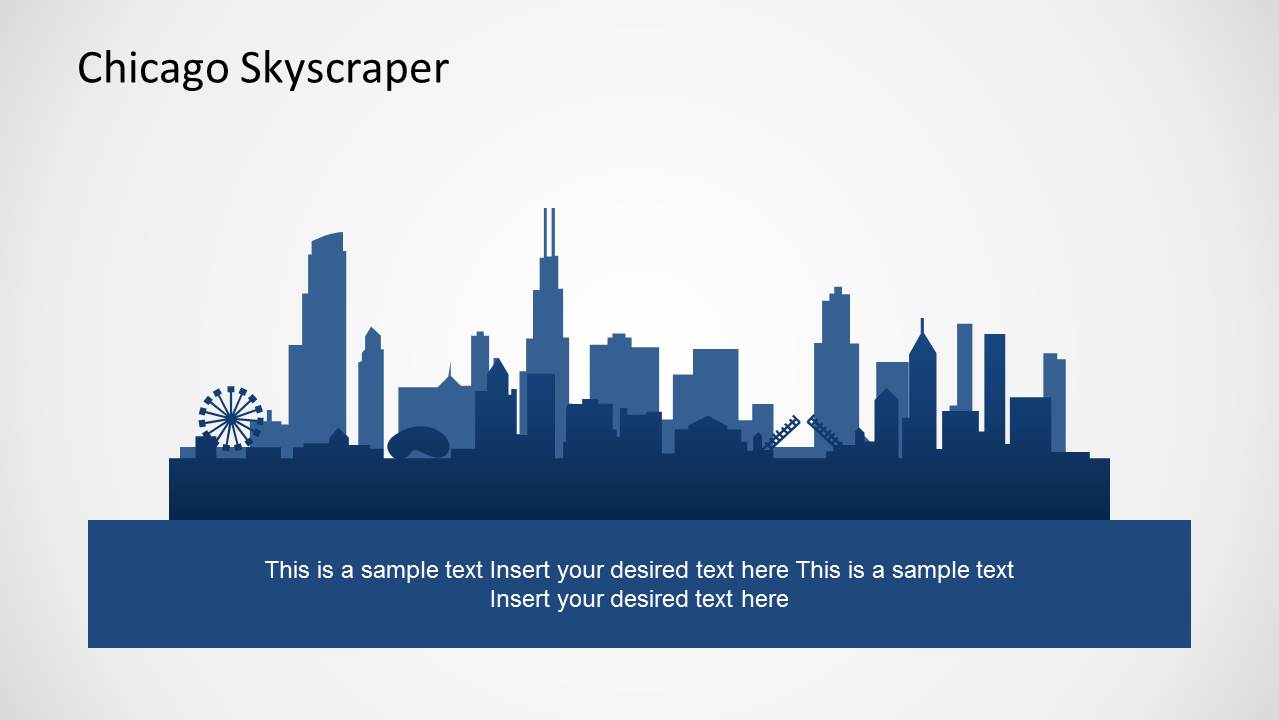
The Chicago PowerPoint Template is a map template for PowerPoint which shows a silhouette of Chicago in the opening slide, followed by a map of the city and a range of editable slides to help you create presentations about Chicago.
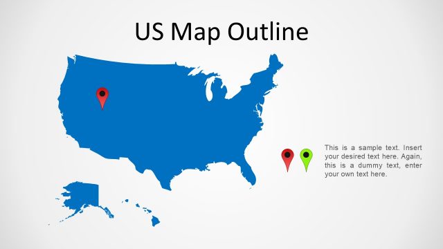
This PowerPoint Template is among our US Map Templates, which includes templates with a map of the United States, as well as other cities like Los Angeles, New York and Miami.
Other than map based slides, this template also offers editable charts, clipart images and movable objects to help you reposition or single out specific parts of your map slides.
What’s inside this template
Example presentation scenarios
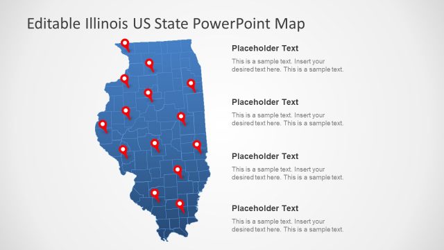
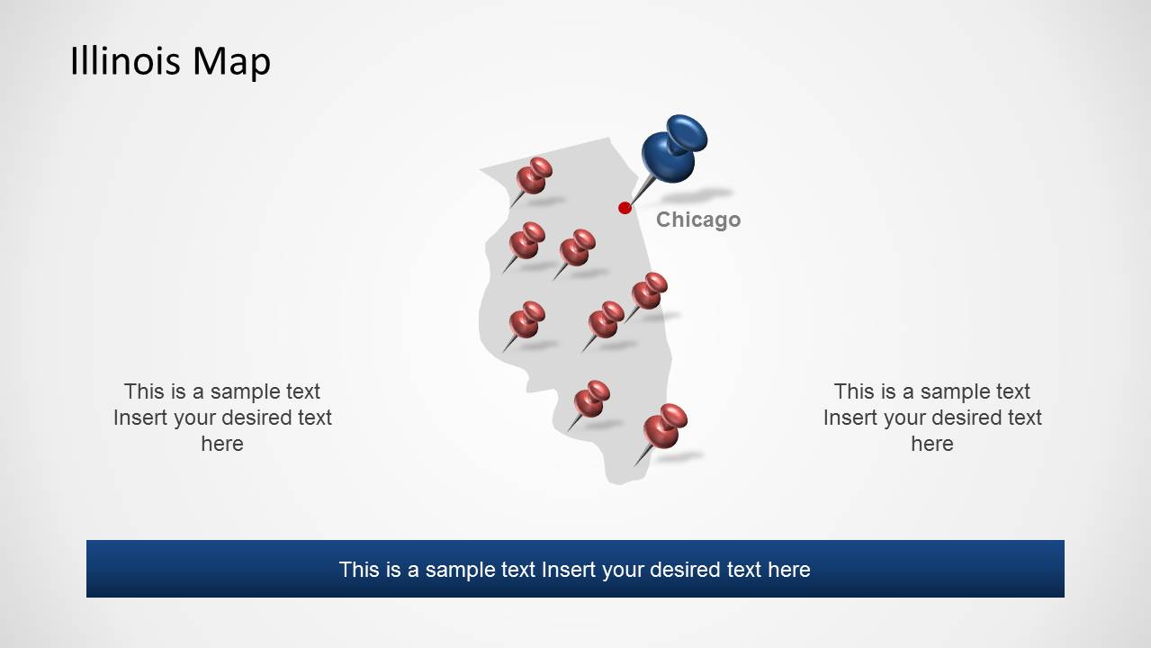
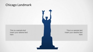
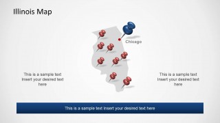
- A tourism presenter can introduce a Chicago destination plan using the skyline cover, landmark slide, and Illinois map with pushpins to connect place identity with visitor locations.
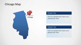
- A real estate analyst can explain site selection around Chicago using the Chicago locator map and Illinois comparison slide to show regional position before discussing local opportunities.
- A civic or government presenter can brief stakeholders on city programs using the Illinois map, highlighted Chicago marker, and skyline text slide to keep the message anchored to geography.
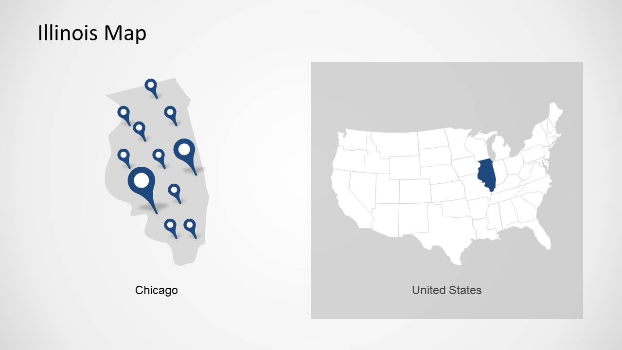
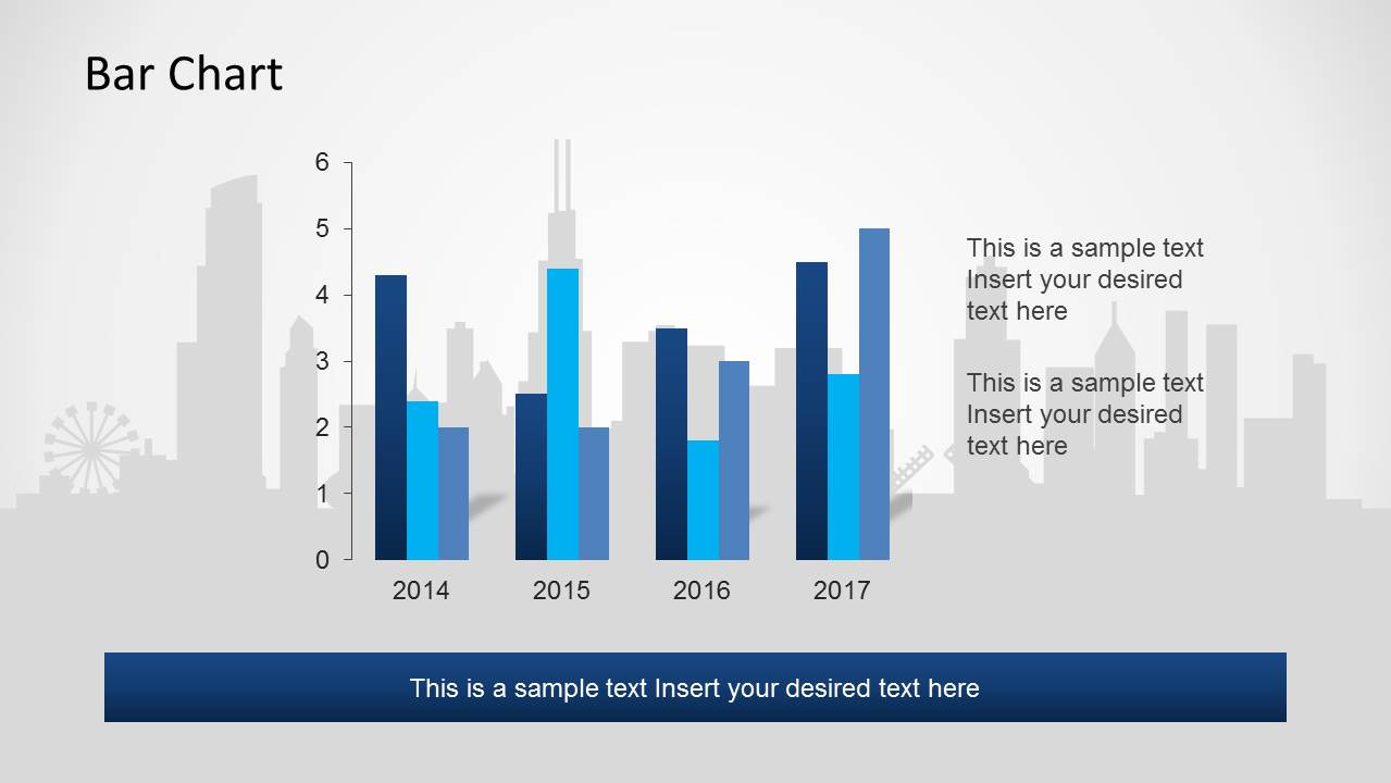
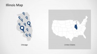
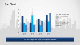
- An educator can teach Illinois and Chicago geography with the side-by-side Illinois and United States map, then use the bar chart slide for a simple data comparison exercise.
Features
- 100% editable presentation template
- Compatible with Microsoft PowerPoint and Google Slides
- Scalable vector shapes, icons and illustrations
- AI-Ready for Microsoft Copilot and Claude
- Instant access and download
Frequently asked questions
Q: How should a presenter organize a Chicago-focused message with this template?
A: Start with the skyline cover to establish the city, then use the landmark slide to give the audience a recognizable anchor. Move into the Illinois and Chicago map slides for location context, and finish with the bar chart only after the geography is clear. This order helps the audience understand where the story happens before interpreting supporting numbers.
Q: Who is this template best suited for?
A: This template fits presenters who need to make Chicago the center of a short location briefing. Tourism teams, civic agencies, educators, real estate analysts, and regional business teams can use the skyline, Illinois map, Chicago locator, and pushpin slides to explain where activity is happening and why the city matters.
Q: Why do the skyline, pushpins, and maps work well together?
A: The skyline creates instant city recognition, while pushpins act as a location metaphor that tells the audience where to look. The Illinois and United States map pairing widens the frame from city to state to national context. This visual progression reduces explanation time and makes geographic relationships easier to remember.



Chicago PowerPoint Template
7-slide PowerPoint presentation template for Chicago maps, landmarks, skyline graphics, and a bar chart
The Chicago PowerPoint Template is a 7-slide city map deck for PowerPoint with a Chicago skyline cover, landmark silhouette, Illinois map views, Chicago locator map, skyline text slide, and bar chart. It supports tourism, civic, real estate, education, and location-based business presentations; chart data can be edited as an Excel spreadsheet in PowerPoint.


 Loading...
 Microsoft PowerPoint
  Microsoft Copilot
  Claude for PowerPoint
 Other formats supported
Subscribe today and get immediate
access to download our PowerPoint templates.