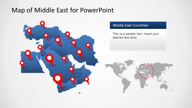
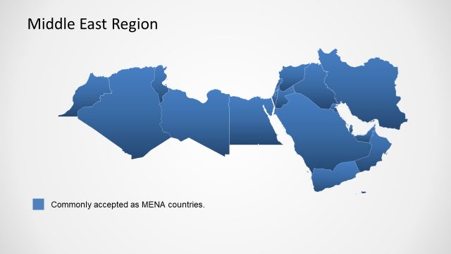
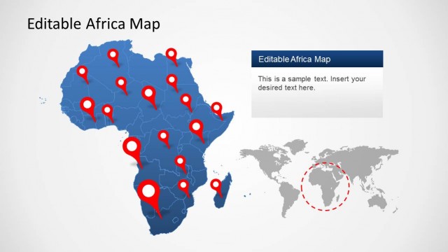
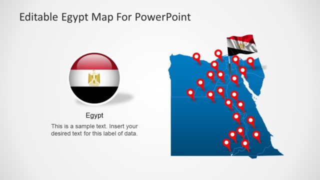
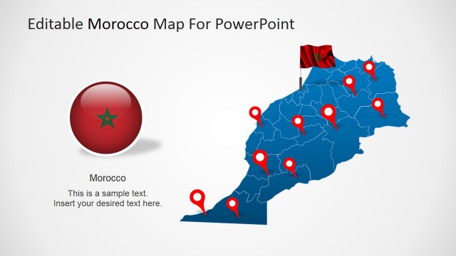
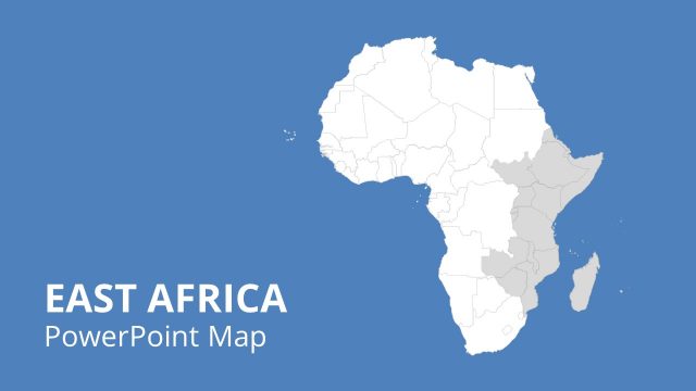
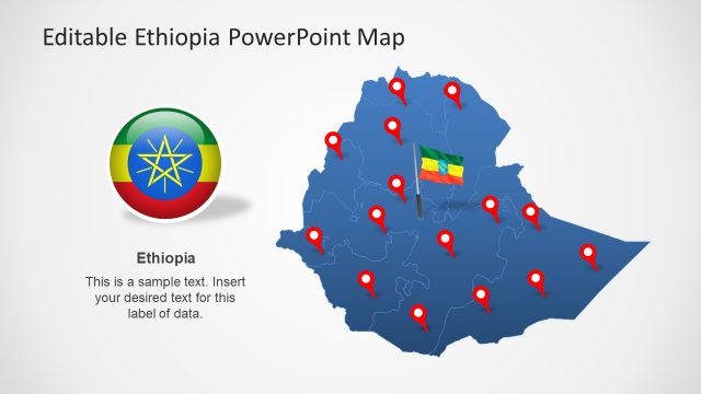
Middle East & North Africa Map Template for PowerPoint is a presentation template containing useful maps that represent the MENA region. You can download this PowerPoint template to prepare presentations requiring maps of Middle East & North Africa countries.
The MENA maps included in this template can be edited as PowerPoint shapes. You can resize the shapes without losing quality or combine the editable maps with other graphics of our PowerPoint templates collection.
What’s inside this template
Example presentation scenarios
- A strategy consultant can brief an executive team on market coverage by starting with the color-coded MENA map and then moving to selected country focus slides for priority territories.
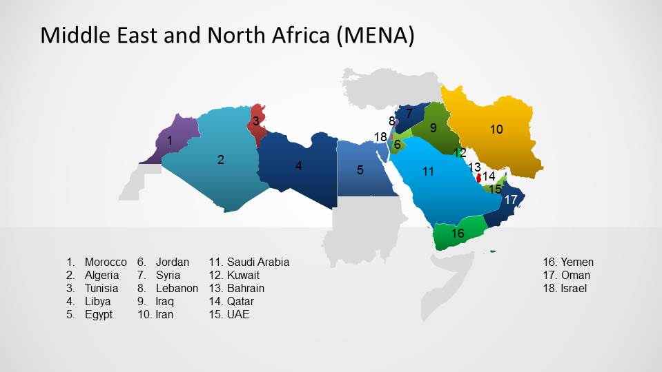
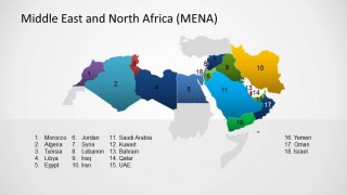
- A university instructor can explain the geographic scope of MENA by using the shaded regional overview, numbered legend map, and country labels as teaching aids.
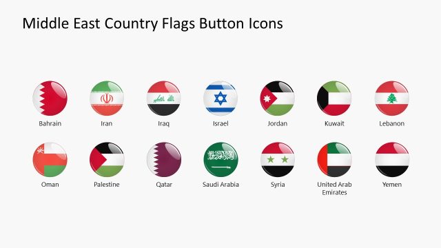
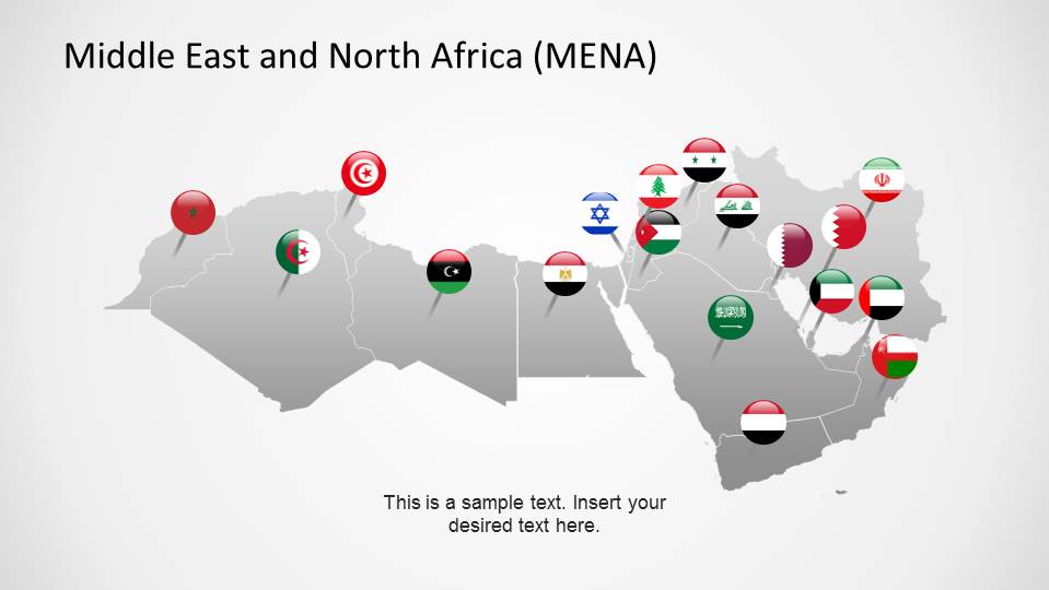
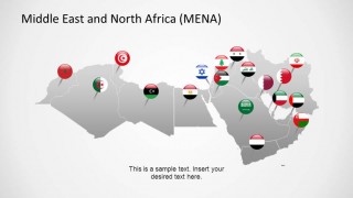
- A nonprofit or public sector presenter can show program locations with the flag marker map and then discuss individual country context on the enlarged country slides.
- A regional sales leader can present territory planning by using the locator maps and country focus slides to separate North Africa, the Levant, and Gulf country discussions.
Features
- 100% editable presentation template
- Compatible with Microsoft PowerPoint and Google Slides
- 16:9 aspect ratio slides
- Scalable vector shapes, icons and illustrations
- AI-Ready for Microsoft Copilot and Claude
- Instant access and download
Frequently asked questions
Q: How should a presenter structure a MENA briefing with this map deck?
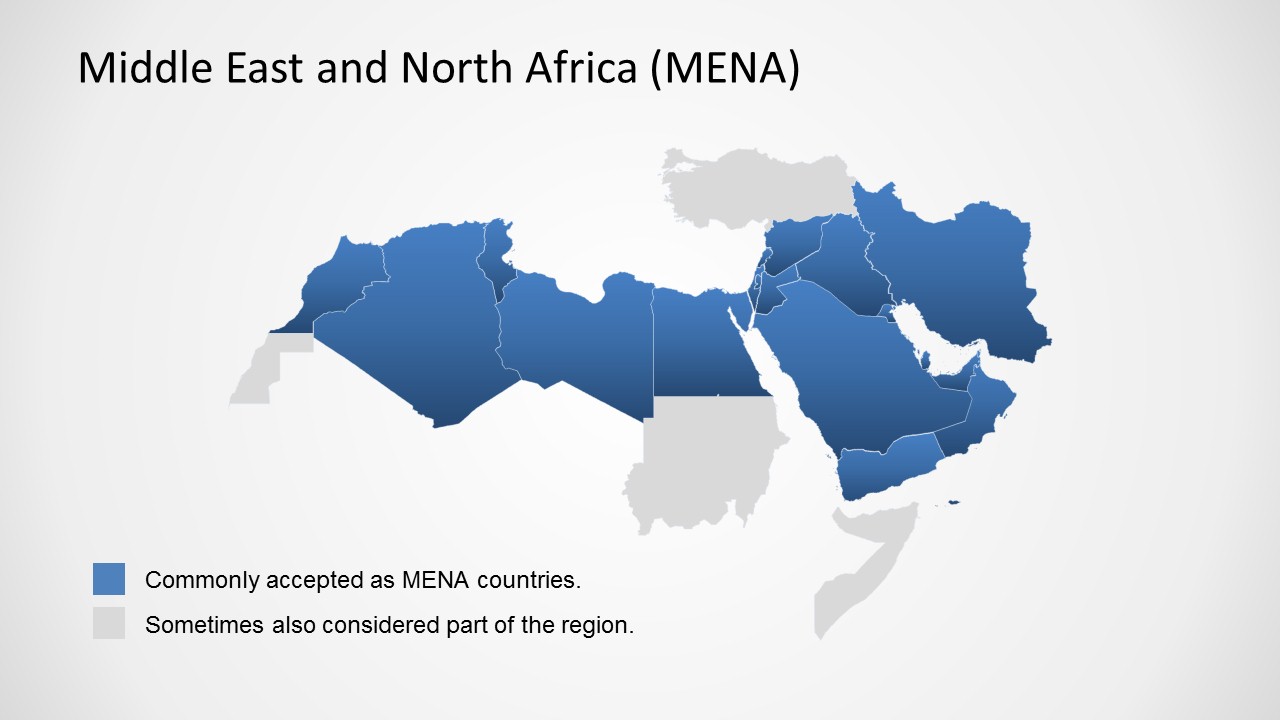
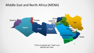
A: Begin with the shaded regional overview to define what countries are included, then use the color-coded or numbered map to orient the audience. Move only to the country focus slides that support the decision or lesson. This keeps the map work purposeful and avoids turning the presentation into a country-by-country tour.
Q: Who gets the most value from this template?
A: The template fits presenters who need geographic clarity before discussing strategy, policy, education, or operations in the MENA region. Consultants, market researchers, educators, NGO teams, and regional managers can use the country locator maps, flags, and enlarged country views to make audiences understand where each discussion point sits.
Q: Why do the small locator maps and enlarged country maps work well together?
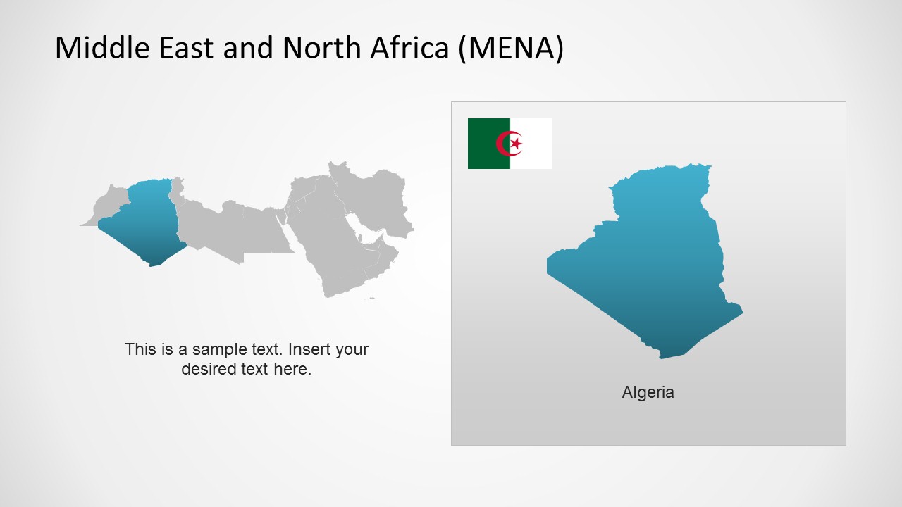
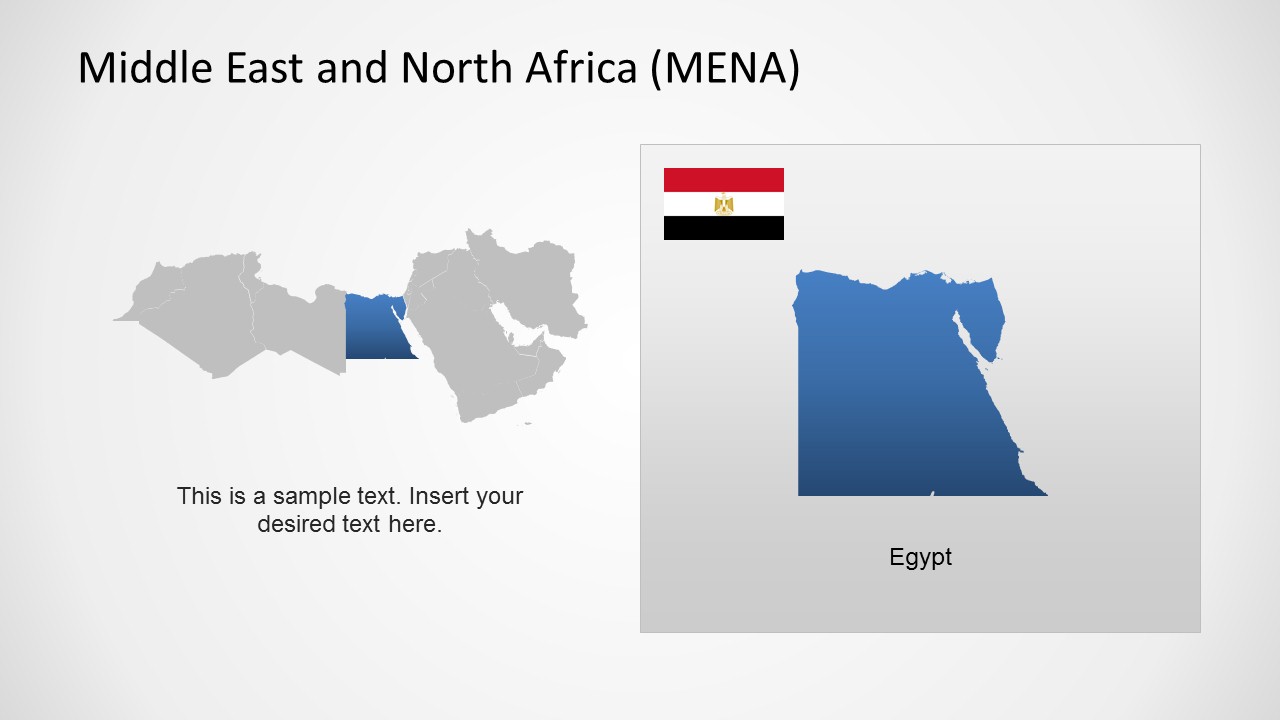
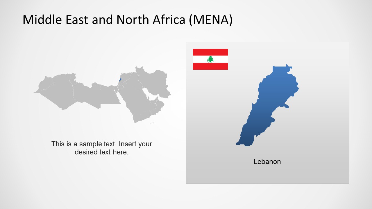
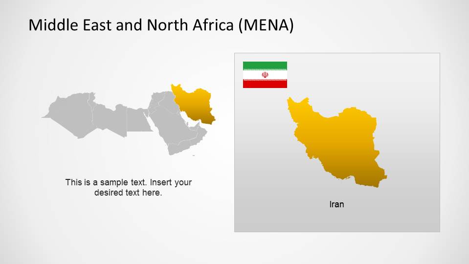
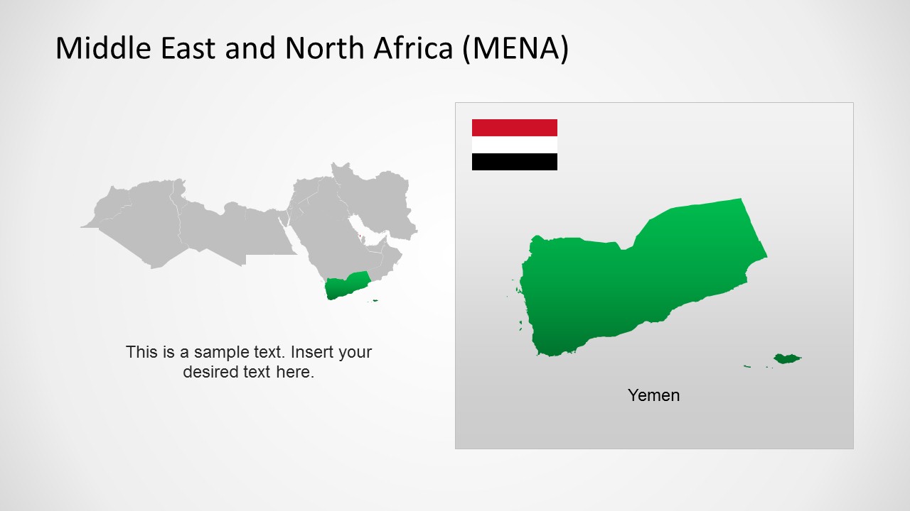
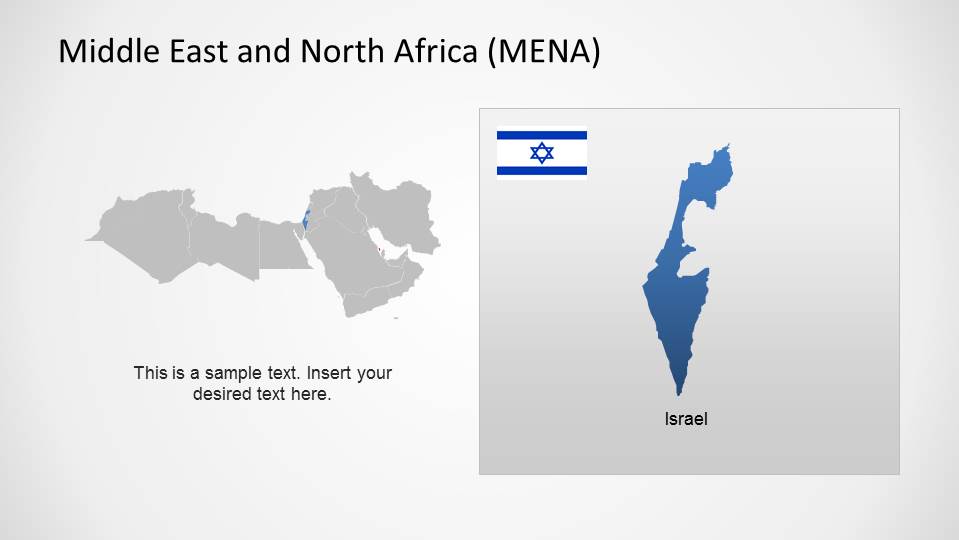
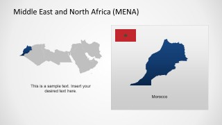
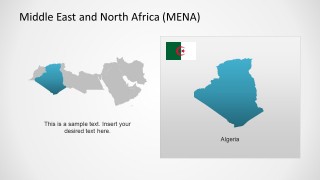
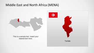
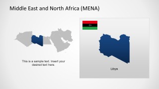
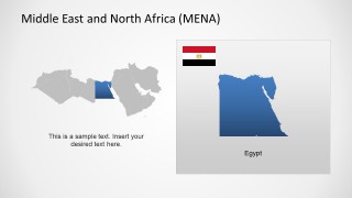
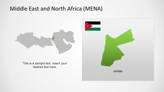
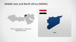
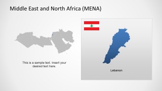
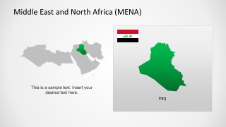
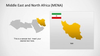
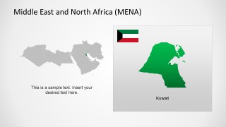
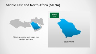
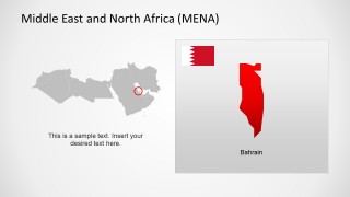
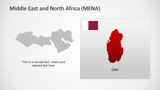
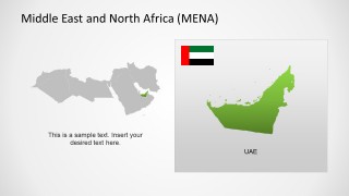
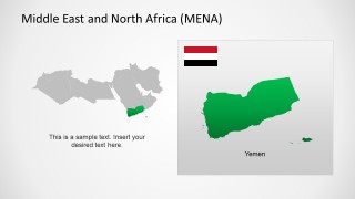
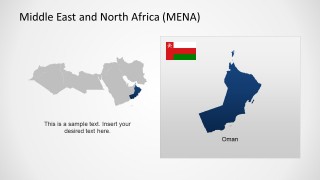
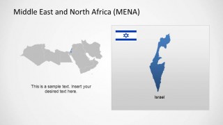
A: The locator map answers the audience's first question: where is this country in the wider region? The enlarged shape then gives space for the main point. This pairing reduces cognitive load because viewers do not have to mentally zoom in from a dense regional map on every country slide.







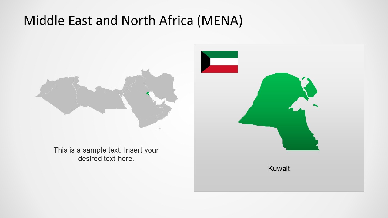
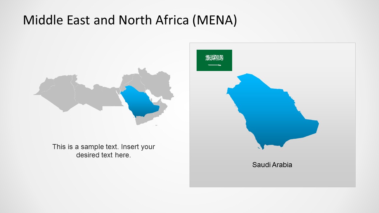
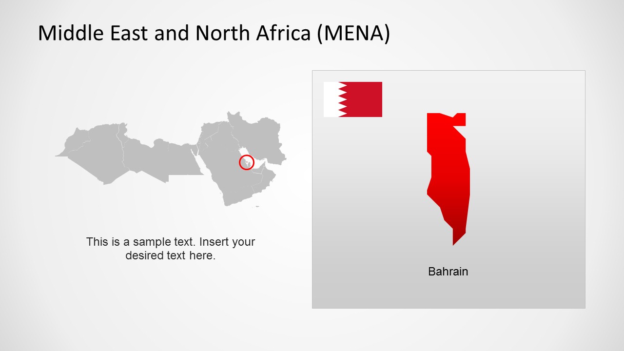
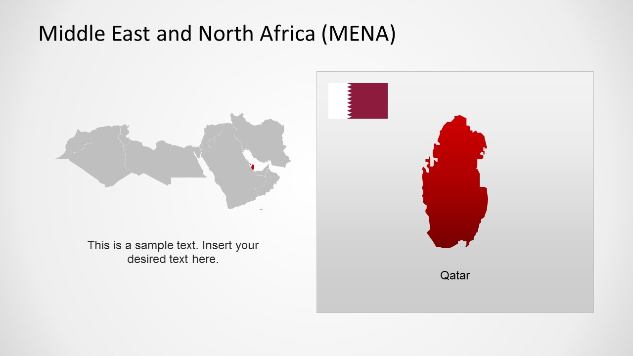


Middle East & North Africa Map Template for PowerPoint
21-slide MENA map presentation template with regional overviews, country focus maps, and flag markers
This 21-slide map presentation template provides editable MENA region maps for Microsoft PowerPoint and Google Slides. It includes a shaded regional overview, color-coded country map, numbered legend map, flag pin map, and individual country focus maps for Morocco through Israel. It is designed for analysts, educators, consultants, and regional business presenters.
- Category
- Maps
- Rating


 Loading...
- Aspect ratio
- 16:9, 4:3
- Item ID
- 6526-01
- Colors
 Microsoft PowerPoint
  Microsoft Copilot
  Claude for PowerPoint
 Other formats supported
Subscribe today and get immediate
access to download our PowerPoint templates.