Editable East Africa Maps Template for PowerPoint
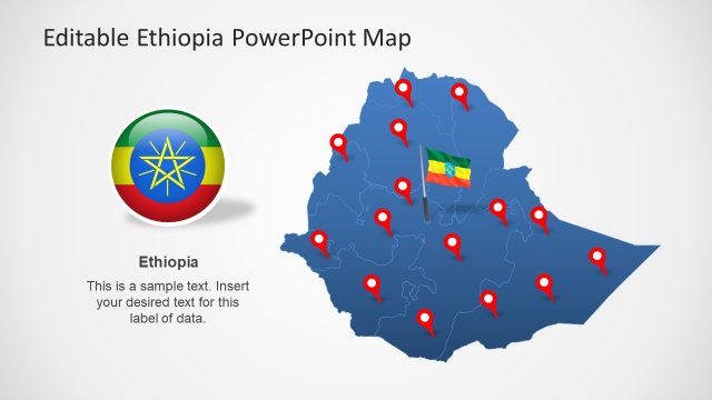
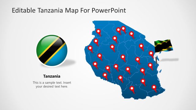
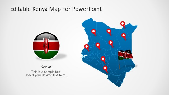
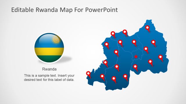
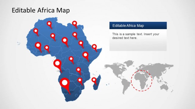
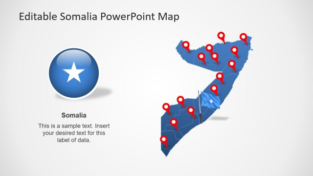
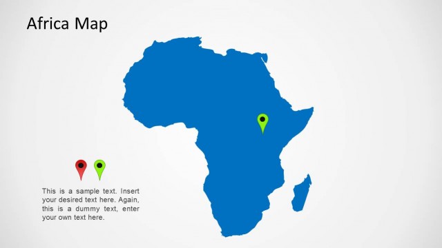
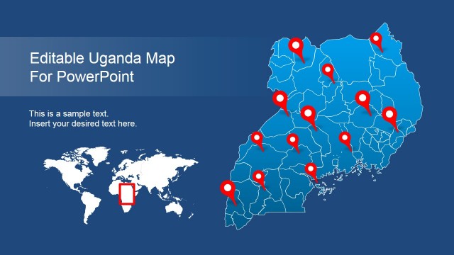
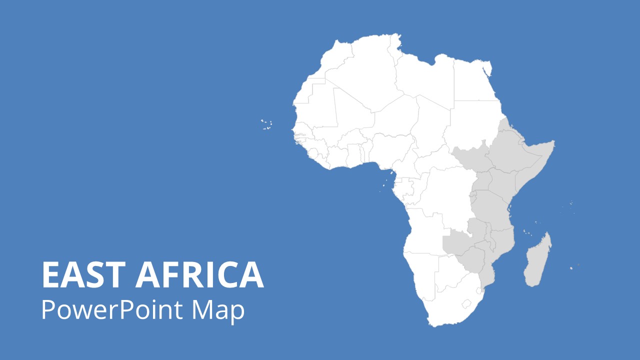
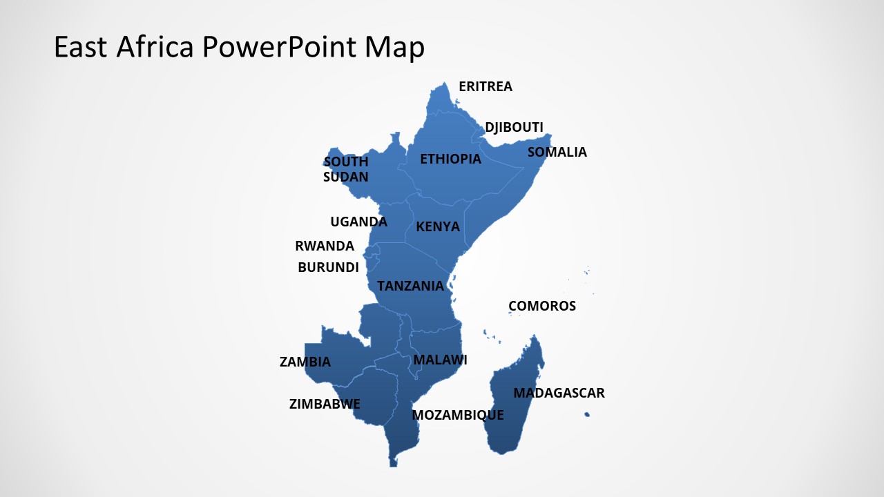
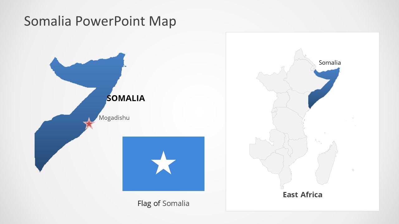
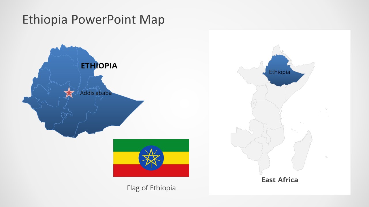
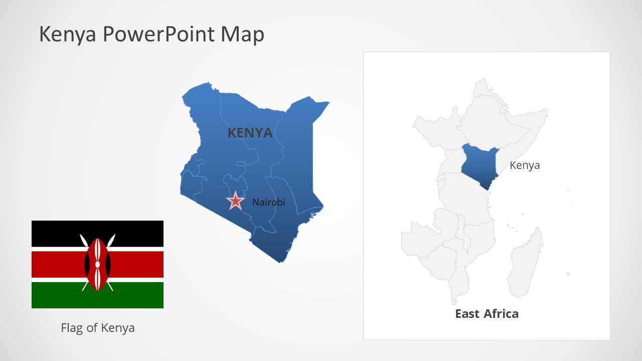
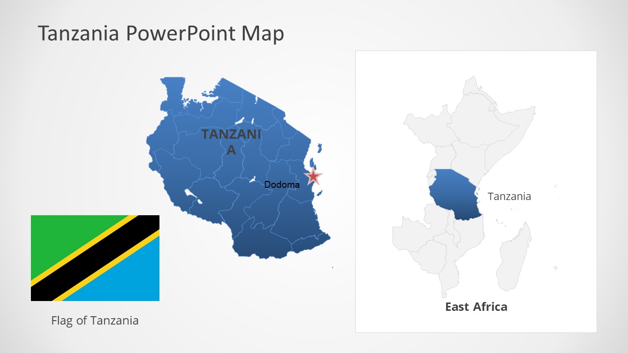
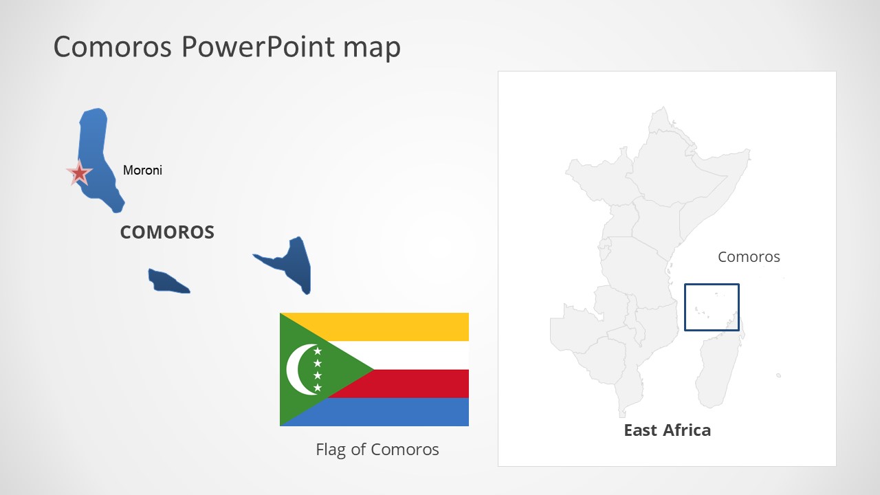
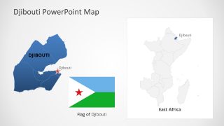
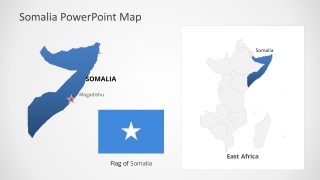
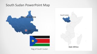
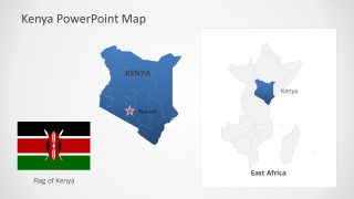
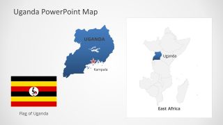
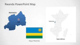
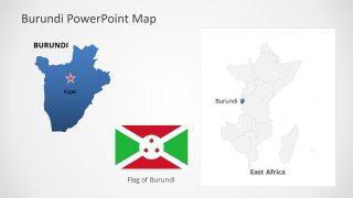
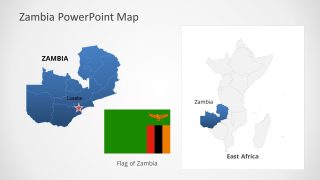
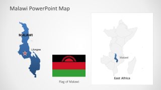
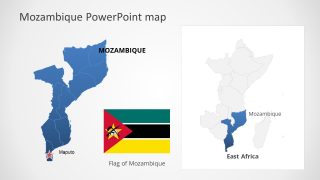
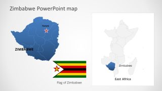
The East Africa PowerPoint Maps is a collection of 16 county map templates. This collection of maps include editable continent of Africa, eastern countries, and East African Community. The East African Community or EAC is a group of six countries i.e. Tanzania, Uganda, Kenya, Rwanda, Burundi, and South Sudan. There are 16 countries located in the eastern subregion of Africa. These include Eritrea, Djibouti, Somalia, Ethiopia, South Sudan, Kenya, Uganda, Tanzania, Rwanda, Burundi, Zambia, Malawi, Mozambique, Zimbabwe, Madagascar, and Comoros. The SlideModel catalog of editable maps contains additional layouts for these country maps.
The maps of counties in East Africa will help presenters to create regional topics with reference to their geographical area. For example, in the economic, social, and growth statistics presentation of the region. The users can take advantage of editable maps available in one place. Therefore, the map slides are suitable for seminars and international forums. Such as international organizations of development, corporation, and security with member states.
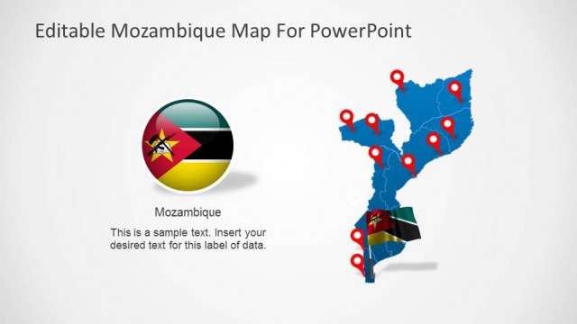
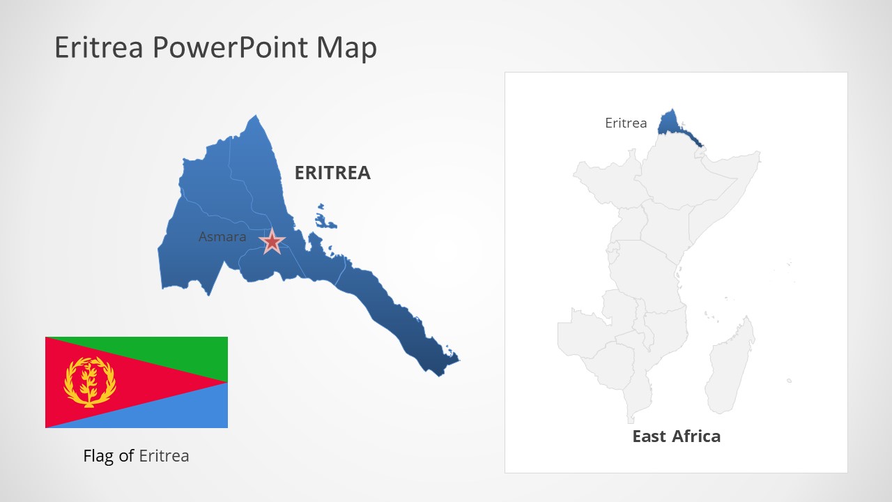
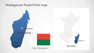
The editable East Africa Maps template for PowerPoint provides 18 editable maps including a map of Africa continent, East Africa, and 16 countries. The slides of countries also provide outline maps of East Africa highlighting each of these countries. These slides will simplify the job of presenting arguments that focus on one county as a part of whole region. Moreover, the country map templates include flags and location markers positioned on capital cities. These supporting contents in PowerPoint will let presenters showcase their national topics to attract a bigger audience.


You must be logged in to download this file.
DOWNLOAD- Category
- Maps
- Rating


 Loading...
- Size
- 16x9
- Item ID
- 20122-01
- Colors
Subscribe today and get immediate
access to download our PowerPoint templates.