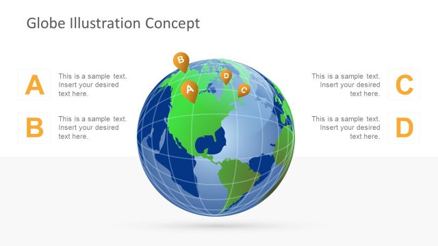
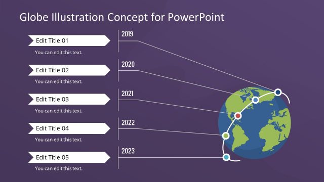
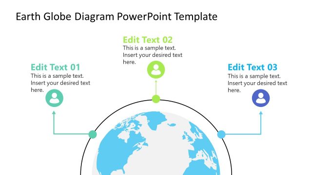
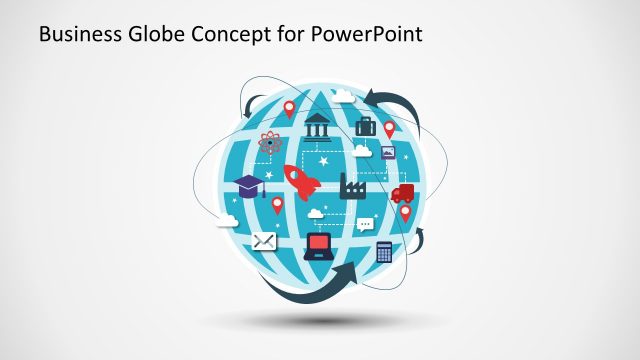
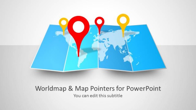
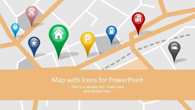
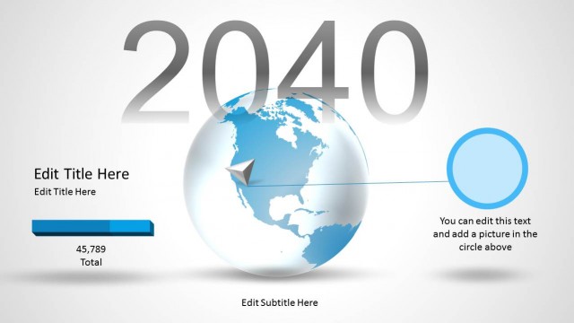
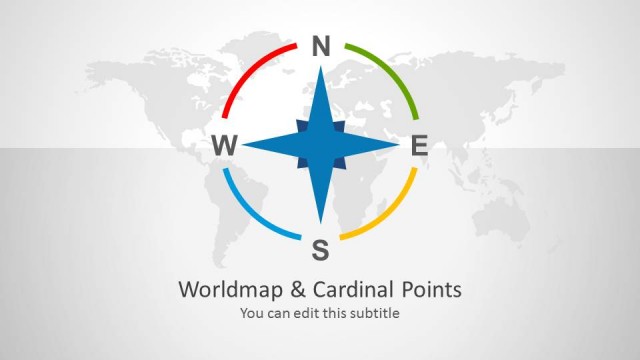
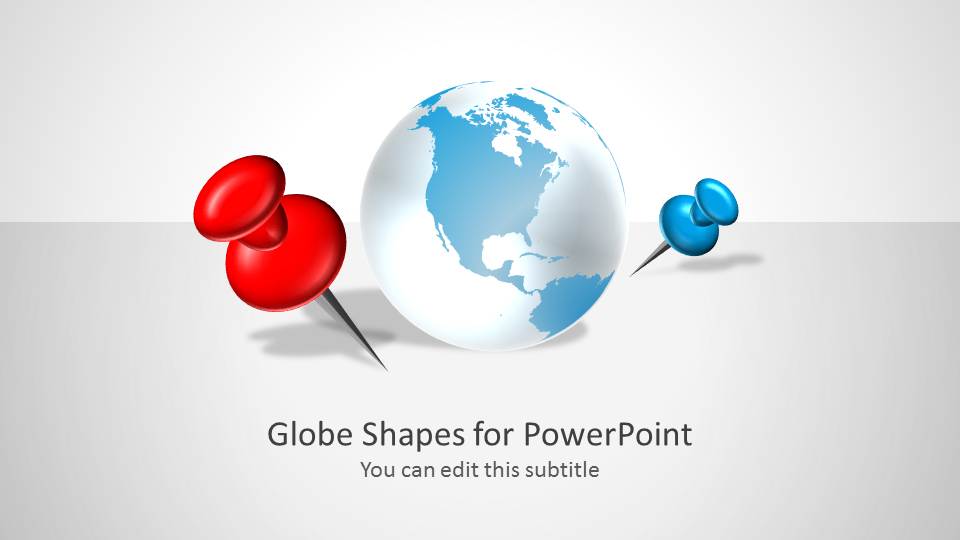
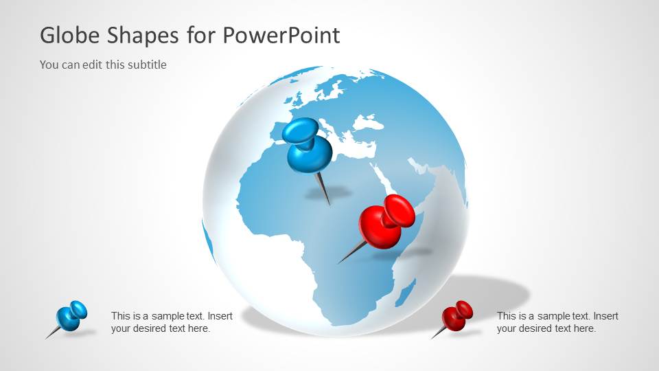
Globe Shapes for PowerPoint with Map Markers is a nice presentation template that you can download to make presentations with a globe in the slide design and pinpoint any desired location or continent.
Alternatively you can download creative globe illustration graphics & globe clipart for PowerPoint presentations to decorate your slides with creative globe clipart & Earth designs.
What’s inside this template
Example presentation scenarios
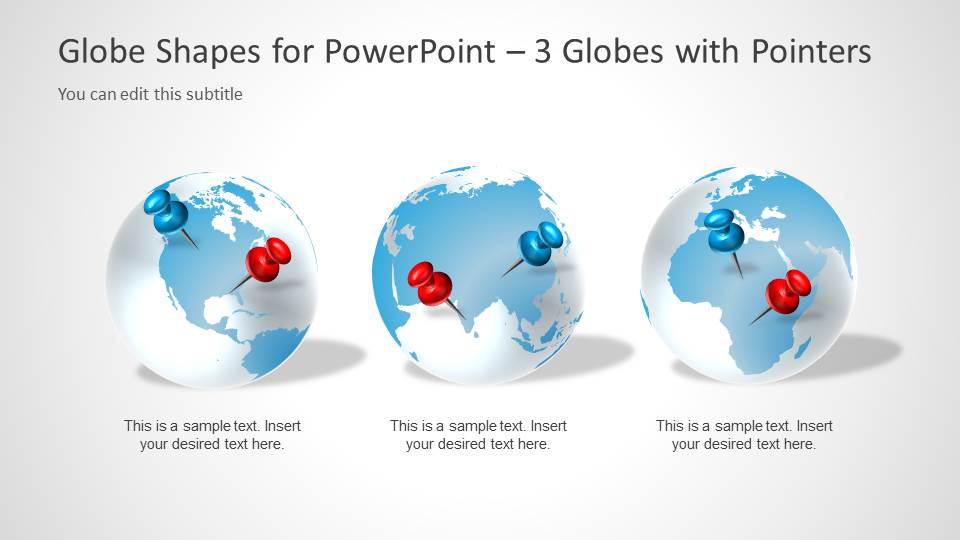
- A business development presenter can introduce international expansion targets with the cover globe, then separate priority markets with the three-globe comparison layout.
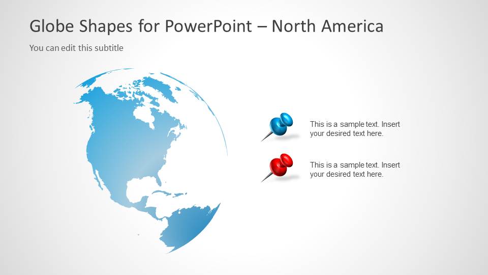
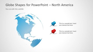
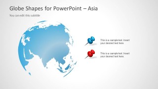
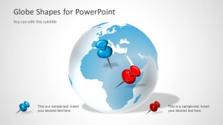
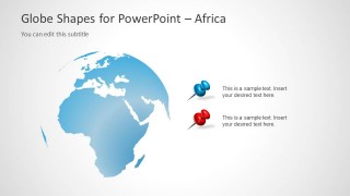
- A logistics coordinator can brief stakeholders on operating regions by using the North America, Asia, and Africa map slides with two pin callouts for status notes.
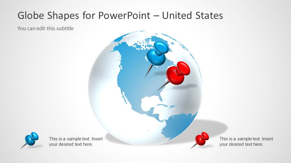
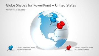
- A corporate communications team can show office locations or event regions with the United States focused globe and editable red or blue marker categories.
- A market analyst can explain geographic opportunity areas by pairing the large globe layouts with short callout text for each selected location.
Features
- 100% editable presentation template
- Compatible with Microsoft PowerPoint and Google Slides
- 16:9 aspect ratio slides
- Scalable vector shapes, icons and illustrations
- AI-Ready for Microsoft Copilot and Claude
- Instant access and download
Frequently asked questions
Q: How should a presenter structure a location message with this template?
A: Start with the cover globe to frame the geographic topic, then move to the three-globe comparison when the audience needs to distinguish regions or market groups. Use the regional map slides for the main discussion and keep each pin callout short, ideally naming the location, status, and one reason it matters.
Q: Who is this template best suited for?
A: This template fits presenters who need to identify places rather than explain detailed map data. Sales, communications, logistics, and consulting teams can use the globe and regional map slides to point out office locations, market coverage, trading regions, customer clusters, or project sites without building a full geographic dashboard.
Q: Why do the globe and pushpin metaphor help the audience understand the message?
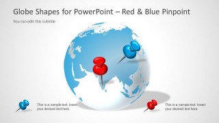
A: The globe establishes worldwide scope immediately, while the red and blue pushpins work as visual anchors for specific locations. This metaphor reduces reading effort because the audience first sees where attention should go, then reads the nearby callout. The regional slides narrow the view when the discussion needs more local focus.



Globe Shapes for PowerPoint with Map Markers
8-slide presentation template with editable globe shapes, map markers, and regional location callouts
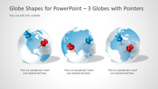
This 8-slide presentation template provides editable globe illustrations with red and blue map pins for global location messaging. It includes a cover globe, three-globe comparison, regional map views for the United States, North America, Asia, and Africa, plus pin callouts for communications, trading, or location updates in Microsoft PowerPoint and Google Slides.
- Category
- Shapes
- Rating

 Loading...
- Aspect ratio
- 16:9
- Item ID
- 6040-01
- Colors
 Microsoft PowerPoint
  Microsoft Copilot
  Claude for PowerPoint
 Other formats supported
Subscribe today and get immediate
access to download our PowerPoint templates.